 Block
Baden, Missouri
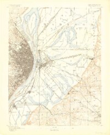
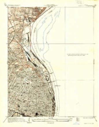
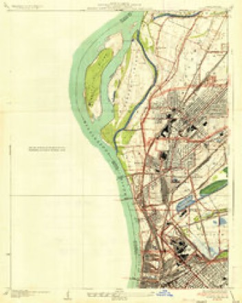
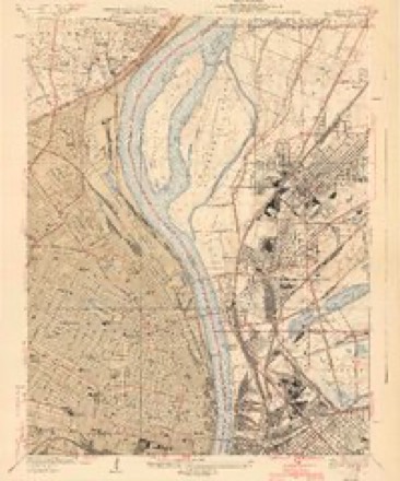
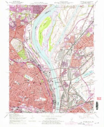
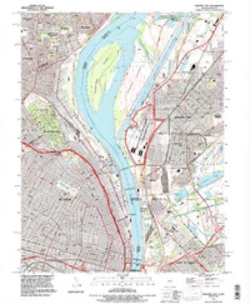
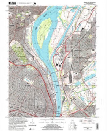
28 topographic sheets cover this place, the earliest surveyed in 1888 and the latest in 1998. It stands in St. Louis City. It lies in ZIP code area 63147. The Survey maps it on the Granite City quadrangle.
Topographic sheets covering this place
13 surveys from 28 printed sheetsMatched by testing this settlement's coordinate against the published boundary of every sheet in the United States Geological Survey's historical collection. Each opens the scanned sheet at the Survey.
- 1888 USGS St. Louis quadrangle1:62500
- 1933 USGS Granite City quadrangle1:24000, 2 printings
- 1935 USGS Granite City quadrangle1:24000, 2 printings
- 1940 USGS Granite City quadrangle1:24000, 4 printings
- 1949 USGS Saint Louis quadrangle1:250000
- 1949 USGS St. Louis quadrangle1:250000
- 1954 USGS Granite City quadrangle1:24000, 6 printings
- 1962 USGS St. Louis quadrangle1:250000
- 1963 USGS St. Louis quadrangle1:250000, 4 printings
- 1966 USGS St. Louis quadrangle1:250000
- 1985 USGS St Louis quadrangle1:100000, 3 printings
- 1993 USGS Granite City quadrangle1:24000
- 1998 USGS Granite City quadrangle1:24000






In the county-history sources
163,964 words on this townshipJournal of the Missouri State Convention, Held at the City of St. Louis, October, 1861, published 1861 names this settlement in its chapter on St. Louis City. These are the passages that mention it, exactly as the scans read.
Or was it, sir, that in the exercise of the same power, expressly admitted in favor of this Convention by themselves, we removed from office that Legislature who, in secret midnight session, with but half their number present, passed so-called "Acts," in utter and treasonable defiance of their sworn duty under the State and National Constitutions ? Do we we not know, both from the official journals of that secret session, and from the clear and authentic statement made at our July session by a delegate who was a loyal member of that Legislature, (Mr. Welch,) that a test vote was forced upon them and defiantly carried by their traitor majority, upon a proposition which was a declaration of war against the United States ? You remember, sir, that section 167 of that infamous "Military Bill" made it the sworn duty of every officer and soldier of the " Missouri State Guard" to attack, disperse and disarm every assemblage of men in this State " having the semblance of an armed organization," which was not organized under that Military Bill itself. You remember that with the express purpose of testing the intent of this provision, an amendment was offered, excepting from its terms the troops of the United States, within any post or arsenal within this State, so long as they conducted themselves lawfully, and until the State of Missouri, by a vote of her people, should change her relations with the Union- And you know that that amendment was voted down ; and that this vote was had before the socalled " outrage at Camp Jackson" had occurred.
Passage source: Journal of the Missouri State Convention, Held at the City of St. Louis, October, 1861, published 1861.
Does the gentleman charge it as an " irritating cause" that we removed from office the men who thus sought to force the people into a war with the General Government ? Does he approve that conduct on their part ?
Passage source: Journal of the Missouri State Convention, Held at the City of St. Louis, October, 1861, published 1861.
Machine-read from a century-old scan, so expect the errors a machine makes: misspelled names, dropped words, stray characters.
Fires near this place
1 since 2006Regional context, not property-specific evidence. The federal wildfire occurrence database lists 1 fire within 5 miles of Baden in 2006, burning under an acre in total. None started naturally. None was recorded as arson. Distance is straight-line from the map coordinates, so a fire counted here may appear on a neighbouring settlement's page as well.
| Reported cause | Fires |
|---|---|
| Missing data/not specified/undetermined | 1 |
The most recent of them, most recent first, with the day each was reported and the service that recorded it.
| Date | Cause | Size | Reported by | Name on the report |
|---|---|---|---|---|
| 27 February 2006 | Missing data/not specified/undetermined | under an acre | Missouri State Fire Marshal's Office | not named |
Settlements close enough to share some of these fires:
Mines and quarries near this place
10 of 28 shownRegional context, not property-specific evidence. The federal mineral resources record lists 28 workings within 5 miles of Baden: 26 past producers, 2 producers. 2 still produce. What was taken out: Stone, Crushed/Broken, Clay, Stone, Crushed/Broken, Thorium, Clay. Distance is straight-line from the map coordinates, so a quarry counted here may appear on a neighbouring settlement's page as well.
| Where | Site | Commodity | Status | Recorded |
|---|---|---|---|---|
| Bambrick-Bates Constr. Co. Quarry 1 | Clay, Stone, Crushed/Broken | Past Producer | ||
| Madison Plant | Thorium | Producer | ||
| Prospect Hill Cement Plant | Stone, Crushed/Broken, Clay | Producer | ||
| Bambrick-Bates Constr. Co. Quarry 3 | Stone, Crushed/Broken | Past Producer | ||
| Bowdirns Quarry | Stone, Crushed/Broken | Past Producer | ||
| Carl's Quarry | Stone, Crushed/Broken | Past Producer | ||
| Carlins Quarry | Stone, Crushed/Broken | Past Producer | ||
| Cavanaugh Quarry | Stone, Crushed/Broken | Past Producer | ||
| Cavanaugh Quarry | Stone, Crushed/Broken | Past Producer | ||
| Crinnion Quarry | Stone, Crushed/Broken | Past Producer |
Storms near this place
20 since 2000Regional context, not property-specific evidence. The National Weather Service names Baden in 20 storm reports between 2000 and 2025: 8 flash flood, 5 thunderstorm wind, 4 flood, 2 hail. No death or injury is recorded in these reports. Each account below is quoted exactly as the forecast office filed it, from the NOAA Storm Events Database, and each date opens the federal record of that event.
| When | Event | Place named | Harm | What the report says |
|---|---|---|---|---|
| April 2025 | Flash Flood | Baden | $200,000 | An emergency manager reported multiple vehicles trapped in high water on I-70 eastbound under the East Carrie Street overpass. This is a low area. A vehicle was also trapped in flood waters in St. Louis at Lindell Boulevard and Vandeventer Avenue. These areas received between 2 and 4 inches of rain. |
| July 2010 | Flash Flood | Baden | $100,000 | Up to 4 inches of rain fell in about an hour and a half causing flash flooding over northern portions of the city of St. Louis. Interstate 70 was closed at Salisbury Street, Goodfellow Blvd., and South Florrisant Road due to flooding. Also, numerous basements in the area were flooded due to sewer backup and local roads were flooded damaging several cars. |
| August 2021 | Flash Flood | Baden | $20,000 | Up to 3 inches of rain fell in about a 2 hour period causing flash flooding in portions of the city. Numerous roads were flooded including Chouteau Avenue. Flooding was reported on eastbound I-64 near Grand and on Lindell in the Central West End. Several cars became stuck in floodwaters on Lindell near Vandeventer. There was also flooding outside KIPP St. Louis High School on Jefferson Avenue, where water seeped into the atrium. |
| August 2025 | Flash Flood | Baden | $1,000 | Flash flooding led to the road closures of several interstates including I-44, I-55, I-64, and I-70. |
| June 2013 | Flood | Baden | $1,000 | no account filed |
| July 2022 | Flash Flood | Baden | - | Up to five inches fell in a three hour period causing flash flooding across the northern half of the city of St. Louis. Numerous roads were flooded including Washington Avenue near the intersection with Walton Avenue, south bound Skinker near Forest Park, Lindell Boulevard near Vandeventer Avenue, South Vandeventer Avenue just south of I-64 and Kingshighway Boulevard between Natural Bridge Avenue and St. Louis Avenue. Flash flooding in the 4700 block of Washington Avenue flooded a local daycare. The fire department had to rescue 15 children and 3 adults from the facility. No injuries were reported. Also, several dozen motorists had to be rescued from their flooded vehicles. Five city schools were damaged due to flooding. The flooding affected schools from north St. Louis to south. Soldan High School had at least 2 feet of water in the cafeteria on the basement floor. At least 4 businesses sustained water damage from the flooding in the Central West End. Both directions of Interstate 64 at Hampton Avenue and eastbound Interstate 70 at Union Boulevard were closed for part of the afternoon due to flooding. |
| August 2020 | Flash Flood | Baden | - | Up to three inches of rain fell in about a one to two hour period causing flash flooding. Numerous roads were flooded including the Forest Park Parkway exit to Market Street, as well as, the intersection of Vandeventer and Delmar Blvd, and a section of Lindell Blvd. just west of Vandeventer Avenue. Several cars stalled out after being driven into the flooded sections of roadways around the city. |
| July 2019 | Flash Flood | Baden | - | Between 4 and 5 inches fell in just 3 hours, especially over the western sections of the citiy of St. Louis. Numerous roads were flooded including Interstate 64 between the Skinker, Hampton, and Kingshighway exits. Eastbound Interstate 70 between the Kingshighway and Union exits was flooded. Another area that was flooded was along Riverview Drive near intersection with Scranton Avenue. |
| May 2018 | Thunderstorm Wind | Baden | - | Thunderstorm winds blew down a large tree onto Gast Place. The tree also took down several power lines. |
| June 2018 | Thunderstorm Wind | Baden | - | Thunderstorm winds blew down high voltage power lines in the far northern portions of the City of St. Louis on Riverview Avenue. Also, numerous tree limbs and power lines were blown down in the area. One of the large tree branches landed on a car that was traveling on Riverview Avenue. The driver and two children were uninjured but the car sustained moderate damage from the fallen tree limb. |
| July 2016 | Thunderstorm Wind | Baden | - | A line of severe storms moved through the City of St. Louis. Numerous trees, tree limbs and power lines were blown down, including in Forest Park and Tower Grove Park. The worst damage was across the southern portions of the city. One power pole was snapped off in the Soulard area. On the north side of the city, a large tree fell onto an unoccupied pickup truck destroying it. |
| April 2011 | Tornado (EF1) | Baden | - | During the evening of Friday April 22nd, an intense supercell thunderstorm produced a long-track tornado which tore a path of destruction from west to east across the St. Louis Metropolitan Area, from St. Louis County Missouri eastward through the far northern portions of the City of St. Louis, then across the Mississippi River into Madison County Illinois. The tornado reached a maximum intensity of EF4 on the Enhanced Fujita Scale as it tracked through the community of Bridgeton, just west of Lambert St. Louis International Airport, in St. Louis County. The total path length was 21.3 miles, with a width of up to half a mile.||As the tornado crossed from St. Louis County into the far northern portions of the City of St. Louis, there was EF-1 tree damage and minor roof and siding damage which was rated EF-0. The tornado continued to travel to the east and crossed the Mississippi River into Madison County Illinois, approximately 1.5 miles south of Interstate 270. |
| June 2011 | Flash Flood | Baden | - | Up to five inches of rain fell onto already saturated soils causing flash flooding. Numerous roads were flooded including Interstate 70 at Shreve Avenue, so the interstate was closed for a time. Also, as section of Interstate 70 was damaged due to a sewer line collapse near the West Florissant Avenue exit. Several cars stalled in high water on Interstate 64/Hwy 40 near Grand Boulevard. Flooding also closed Interstate 55 at Loughborough Avenue for a time. Several homes in the 4400 block of Dryden Avenue and Dryden Court had to be evacuated due to flooding. Basements had several feet of water in them. |
| July 2008 | Flood | Baden | - | The Mississippi River crested at St. Louis, MO on July 1 at 38.67 feet. It fell below flood stage on July 10. For additional information about the flooding consult the June report. |
| June 2008 | Flood | Baden | - | Moderate flooding occurred on the Mississippi River at St. Louis. The river reached 38.64 feet on 6/30/2008, with the crest occurring on 7/1/2008. Overall damage was minimal. The President's Casino on the St. Louis Riverfront has to be closed due to the flooding. Access to the riverfront in front of the Gateway Arch was closed as the water crept up the lower Arch steps. |
| July 2007 | Thunderstorm Wind | Baden | - | An overhead canopy was blown down at Riverview and Hall Street in North St. Louis. |
| August 2000 | Thunderstorm Wind | Baden | - | Trees and power lines were downed in the north part of St. Louis. |
| April 2014 | Hail | Baden | - | no account filed |
| April 2014 | Hail | Baden | - | no account filed |
| June 2010 | Flood | Baden | - | no account filed |
Nearest settlements
The eight closest, with where each one stands in the county. Distances are straight-line, computed from the Geographic Names Information System coordinates.
| Map | Place | Distance | Sheets |
|---|---|---|---|
| North Riverfront | 1.1 miles | 28 | |
| Walnut Park East | 1.1 miles | 28 | |
| North Pointe | 1.1 miles | 28 | |
| Mark Twain | 1.3 miles | 28 | |
| Walnut Park West | 1.4 miles | 20 | |
| Penrose | 1.9 miles | 28 | |
| O'Fallon | 2.3 miles | 28 | |
| College Hill | 2.4 miles | 28 |
Provenance
This settlement is recorded in the Geographic Names Information System as feature 765626. The sheet list is computed by point-in-boundary test against the United States Geological Survey's historical topographic inventory. Both are works of the United States government and carry no copyright under 17 U.S.C. 105.
Wildfire. Short, Karen C. 2022. Spatial wildfire occurrence data for the United States, 1992-2020 [FPA_FOD_20221014]. 6th Edition. Fort Collins, CO: Forest Service Research Data Archive. https://doi.org/10.2737/RDS-2013-0009.6 Collected with United States Government funding and usable without additional permissions or fees.
Mines and quarries. USGS Mineral Resources Data System (MRDS) https://mrdata.usgs.gov/mrds/ A work of the United States government, no copyright under 17 U.S.C. 105.
Storms. NOAA National Centers for Environmental Information, Storm Events Database https://www.ncei.noaa.gov/stormevents/ A work of the United States government, no copyright under 17 U.S.C. 105. Narratives are quoted verbatim from the National Weather Service report and are not edited or summarised.