 Block
O'Fallon, Missouri
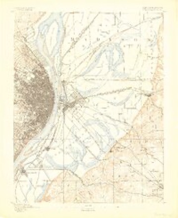
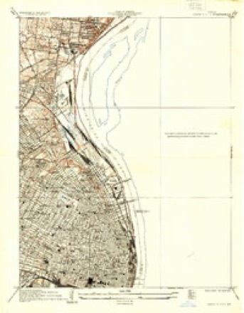
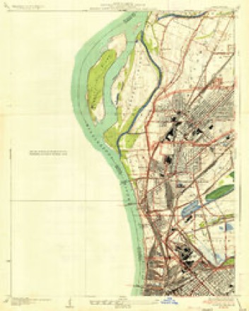
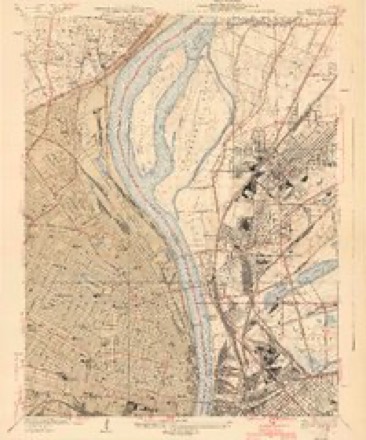
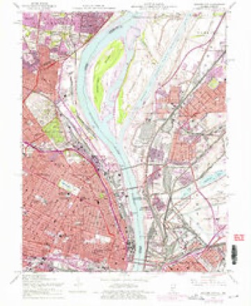
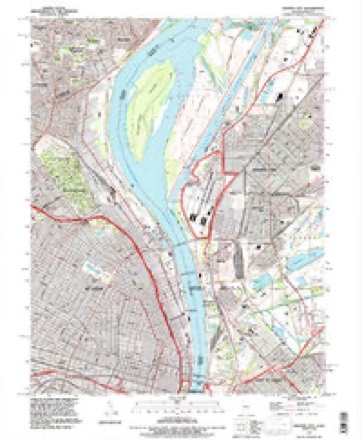
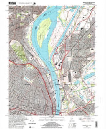
28 topographic sheets cover this place, the earliest surveyed in 1888 and the latest in 1998. It stands in St. Louis City. It lies in ZIP code area 63115. The Survey maps it on the Granite City quadrangle.
Topographic sheets covering this place
13 surveys from 28 printed sheetsMatched by testing this settlement's coordinate against the published boundary of every sheet in the United States Geological Survey's historical collection. Each opens the scanned sheet at the Survey.
- 1888 USGS St. Louis quadrangle1:62500
- 1933 USGS Granite City quadrangle1:24000, 2 printings
- 1935 USGS Granite City quadrangle1:24000, 2 printings
- 1940 USGS Granite City quadrangle1:24000, 4 printings
- 1949 USGS Saint Louis quadrangle1:250000
- 1949 USGS St. Louis quadrangle1:250000
- 1954 USGS Granite City quadrangle1:24000, 6 printings
- 1962 USGS St. Louis quadrangle1:250000
- 1963 USGS St. Louis quadrangle1:250000, 4 printings
- 1966 USGS St. Louis quadrangle1:250000
- 1985 USGS St Louis quadrangle1:100000, 3 printings
- 1993 USGS Granite City quadrangle1:24000
- 1998 USGS Granite City quadrangle1:24000






In the county-history sources
163,964 words on this townshipJournal of the Missouri State Convention, Held at the City of St. Louis, October, 1861, published 1861 names this settlement in its chapter on St. Louis City. These are the passages that mention it, exactly as the scans read.
Or was it, sir, that in the exercise of the same power, expressly admitted in favor of this Convention by themselves, we removed from office that Legislature who, in secret midnight session, with but half their number present, passed so-called "Acts," in utter and treasonable defiance of their sworn duty under the State and National Constitutions ? Do we we not know, both from the official journals of that secret session, and from the clear and authentic statement made at our July session by a delegate who was a loyal member of that Legislature, (Mr. Welch,) that a test vote was forced upon them and defiantly carried by their traitor majority, upon a proposition which was a declaration of war against the United States ? You remember, sir, that section 167 of that infamous "Military Bill" made it the sworn duty of every officer and soldier of the " Missouri State Guard" to attack, disperse and disarm every assemblage of men in this State " having the semblance of an armed organization," which was not organized under that Military Bill itself. You remember that with the express purpose of testing the intent of this provision, an amendment was offered, excepting from its terms the troops of the United States, within any post or arsenal within this State, so long as they conducted themselves lawfully, and until the State of Missouri, by a vote of her people, should change her relations with the Union- And you know that that amendment was voted down ; and that this vote was had before the socalled " outrage at Camp Jackson" had occurred.
Passage source: Journal of the Missouri State Convention, Held at the City of St. Louis, October, 1861, published 1861.
" IMs proper for me, v/hile calling your attention to this subject of the election, to remind you that when I was chosen to fill my present position of Provisional Governor, I was chosen to exercise the executive functions until the first Monday of November ; yet as the words of the ordinance are, 'and until his successor ghall be duly elected and qualified/ the effect of a postponement of the election will be to continue me in office for a longer period than was contemplated by the Convention when I was chosen, or by me when I accepted the office. It is proper, therefore, that you should at this time select a person to discharge the executive duties during the prolonged period that will elapse before an election can be held. In making such selection, you will remember that you have the whole State from which to make the choice, without confining yourselves to the members of the Convention. It is not necessary that I remind you, that the only basis of a safe choice is the good of the people, without regard to personal predilections or party relations. The motto on our State arms, ' Salus populi supremo, lex esto,' furnishes a safe guide in all our public action.
Passage source: Journal of the Missouri State Convention, Held at the City of St. Louis, October, 1861, published 1861.
Machine-read from a century-old scan, so expect the errors a machine makes: misspelled names, dropped words, stray characters.
Read the whole chapter on St. Louis City - it names this place 1 more 1 time.
Fires near this place
1 since 2006Regional context, not property-specific evidence. The federal wildfire occurrence database lists 1 fire within 5 miles of O'Fallon in 2006, burning under an acre in total. None started naturally. None was recorded as arson. Distance is straight-line from the map coordinates, so a fire counted here may appear on a neighbouring settlement's page as well.
| Reported cause | Fires |
|---|---|
| Missing data/not specified/undetermined | 1 |
The most recent of them, most recent first, with the day each was reported and the service that recorded it.
| Date | Cause | Size | Reported by | Name on the report |
|---|---|---|---|---|
| 27 February 2006 | Missing data/not specified/undetermined | under an acre | Missouri State Fire Marshal's Office | not named |
Settlements close enough to share some of these fires:
Mines and quarries near this place
10 of 57 shownRegional context, not property-specific evidence. The federal mineral resources record lists 57 workings within 5 miles of O'Fallon: 54 past producers, 2 producers, 1 prospect. 2 still produce. What was taken out: Stone, Crushed/Broken, Clay, Fire Clay (Refractory), Clay, Stone, Crushed/Broken. Distance is straight-line from the map coordinates, so a quarry counted here may appear on a neighbouring settlement's page as well.
| Where | Site | Commodity | Status | Recorded |
|---|---|---|---|---|
| Bambrick-Bates Constr. Co. Quarry 1 | Clay, Stone, Crushed/Broken | Past Producer | ||
| Hypothetical Lead Mine | Lead, Silver, Zinc, Cobalt, Copper, Nickel, Cadmium | Prospect | Underground | |
| Madison Plant | Thorium | Producer | ||
| Evans and Howard Fireclay Mine No 7 | Fire Clay (Refractory) | Past Producer | ||
| Evans and Howard Fireclay Mine No.6 | Fire Clay (Refractory) | Past Producer | ||
| Hydraulic Press Brick Co Mine No 3 | Fire Clay (Refractory) | Past Producer | ||
| Hydraulic Press Brick Fireclay No 2 | Fire Clay (Refractory) | Past Producer | ||
| Jones Mine | Fire Clay (Refractory) | Past Producer | ||
| Lagarce Pit | Fire Clay (Refractory) | Past Producer | ||
| Tiepelman Pit | Fire Clay (Refractory) | Past Producer |
Nearest settlements
The eight closest, with where each one stands in the county. Distances are straight-line, computed from the Geographic Names Information System coordinates.
| Map | Place | Distance | Sheets |
|---|---|---|---|
| Greater Ville | 0.7 miles | 28 | |
| Penrose | 0.7 miles | 28 | |
| College Hill | 1.0 miles | 28 | |
| The Ville | 1.1 miles | 28 | |
| Kingsway East | 1.3 miles | 20 | |
| Mark Twain | 1.3 miles | 28 | |
| Hyde Park | 1.5 miles | 28 | |
| Kingsway West | 1.6 miles | 20 |
Provenance
This settlement is recorded in the Geographic Names Information System as feature 2469203. The sheet list is computed by point-in-boundary test against the United States Geological Survey's historical topographic inventory. Both are works of the United States government and carry no copyright under 17 U.S.C. 105.
Wildfire. Short, Karen C. 2022. Spatial wildfire occurrence data for the United States, 1992-2020 [FPA_FOD_20221014]. 6th Edition. Fort Collins, CO: Forest Service Research Data Archive. https://doi.org/10.2737/RDS-2013-0009.6 Collected with United States Government funding and usable without additional permissions or fees.
Mines and quarries. USGS Mineral Resources Data System (MRDS) https://mrdata.usgs.gov/mrds/ A work of the United States government, no copyright under 17 U.S.C. 105.