 Block
Blosser, Missouri
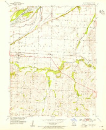
16 topographic sheets cover this place, the earliest surveyed in 1890 and the latest in 1982. It stands in Marshall Township. It lies in ZIP code area 65339. It stands on Muddy Creek. The Survey maps it on the Malta Bend quadrangle. The federal gazetteer marks this settlement historical: it is no longer a populated place, though the surveys that recorded it still are.
On record in Blosser
Buildings and businesses the archive holds for this place. Each opens its own page, with the source record it came from.
On the National Register within a mile 1 record
The National Register names another town for these. They stand within one mile of this settlement's coordinate.
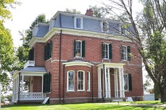 Henry Blosser Houselisted 1978 · 0.5 miles away
Topographic sheets covering this place
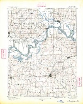
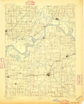
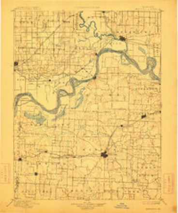
9 surveys from 16 printed sheetsMatched by testing this settlement's coordinate against the published boundary of every sheet in the United States Geological Survey's historical collection. Each opens the scanned sheet at the Survey.
- 1890 USGS Marshall quadrangle1:125000
- 1892 USGS Marshall quadrangle1:125000
- 1901 USGS Marshall quadrangle1:125000, 5 printings
- 1953 USGS Malta Bend quadrangle1:24000, 2 printings
- 1953 USGS Moberly quadrangle1:250000
- 1954 USGS Moberly quadrangle1:250000, 3 printings
- 1957 USGS Moberly quadrangle1:250000
- 1960 USGS Moberly quadrangle1:250000
- 1982 USGS Marshall quadrangle1:100000




In the county-history sources
3,425 words on this townshipHistory of Saline County, Missouri, Carefully Written and Compiled from the Most Authentic Official and Private Sources ... with a Condensed History of Missouri; the State Constitution; a Military Record of Its Volunteers in Either Army of the Great Civil War ... Biographical Sketches of Prominent Men .., published 1881 has no passage naming this settlement, which was common for smaller places. Its township is covered in full.
The chapter on Marshall Township covers the township.
Read the chapter on Marshall Township - 3,425 words.
Nearest settlements
The eight closest, with where each one stands in the county. Distances are straight-line, computed from the Geographic Names Information System coordinates.
| Map | Place | Distance | Sheets |
|---|---|---|---|
| Stanhope | 1.3 miles | 16 | |
| Malta Bend | 4.2 miles | 16 | |
| Fairville | 4.3 miles | 19 | |
| Shackleford | 5.7 miles | 16 | |
| Salt Springs | 6.6 miles | 16 | |
| Marshall | 6.7 miles | 18 | |
| Mount Leonard | 7.6 miles | 16 | |
| Norton | 7.8 miles | 19 |
Provenance
This settlement is recorded in the Geographic Names Information System as feature 738657. The sheet list is computed by point-in-boundary test against the United States Geological Survey's historical topographic inventory. Both are works of the United States government and carry no copyright under 17 U.S.C. 105.