 Block
Bridgeton, Missouri
25 topographic sheets cover this place, the earliest surveyed in 1924 and the latest in 1994. It stands in Northwest Township. It lies in ZIP code area 63044. The Survey maps it on the Saint Charles quadrangle. 11,445 people lived here at the 2020 count. It stands 584 feet above sea level.
On record in Bridgeton
Buildings and businesses the archive holds for this place. Each opens its own page, with the source record it came from.
On the National Register 1 record
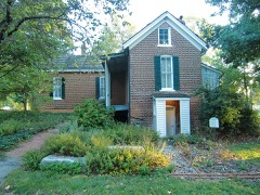 Payne-Gentry Houselisted 1979
Population over time
2 figuresBridgeton fell from 11,550 to 11,445 between 2010 and 2020. These are the recorded population figures Wikidata holds for this place, reached through the Geographic Names Information System number this page is keyed on rather than by name, so they belong to this place and not to another of the same name. Most are census counts, but not all are: an early figure may be a founding or settlement estimate, and an estimate published within five years of a census is left out. The change column is computed, and is left blank where more than 20 years separate a figure from the one before it, because a gap that long is not a change between two counts.
| Year | People | Change |
|---|---|---|
| 2010 | 11,550 | |
| 2020 | 11,445 | -105 (-1%) |
Topographic sheets covering this place
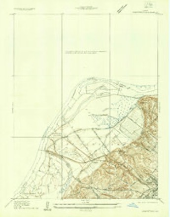
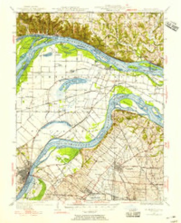
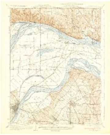
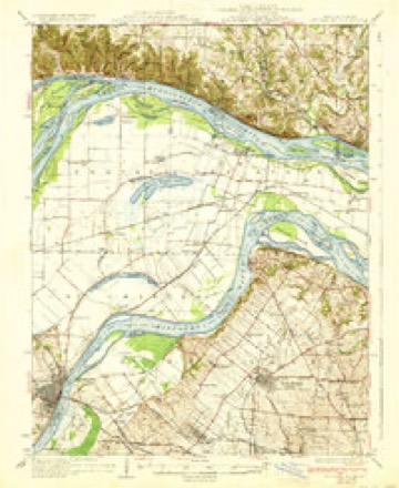
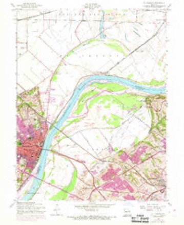
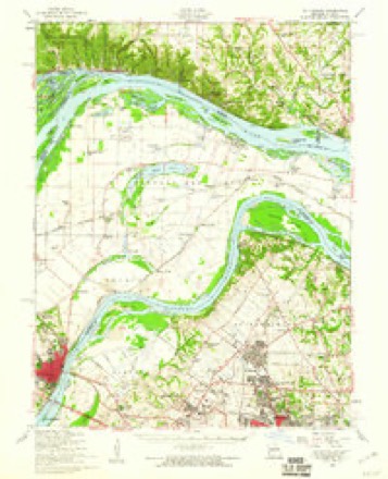
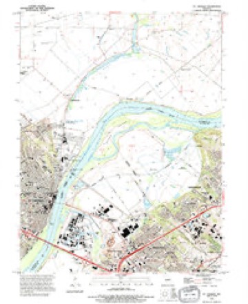
13 surveys from 25 printed sheetsMatched by testing this settlement's coordinate against the published boundary of every sheet in the United States Geological Survey's historical collection. Each opens the scanned sheet at the Survey.
- 1924 USGS Robertson quadrangle1:24000
- 1927 USGS St. Charles quadrangle1:62500, 2 printings
- 1933 USGS Saint Charles quadrangle1:62500
- 1933 USGS St. Charles quadrangle1:62500, 2 printings
- 1949 USGS Saint Louis quadrangle1:250000
- 1949 USGS St. Louis quadrangle1:250000
- 1954 USGS St. Charles quadrangle1:24000, 5 printings
- 1954 USGS St. Charles quadrangle1:62500, 2 printings
- 1962 USGS St. Louis quadrangle1:250000
- 1963 USGS St. Louis quadrangle1:250000, 4 printings
- 1966 USGS St. Louis quadrangle1:250000
- 1985 USGS St Louis quadrangle1:100000, 3 printings
- 1994 USGS St. Charles quadrangle1:24000






Mines and quarries near this place
8 within 5 milesRegional context, not property-specific evidence. The federal mineral resources record lists 8 workings within 5 miles of Bridgeton: 5 past producers, 3 producers. 3 still produce. What was taken out: Stone, Crushed/Broken, Sand and Gravel, Construction, Clay. Distance is straight-line from the map coordinates, so a quarry counted here may appear on a neighbouring settlement's page as well.
| Where | Site | Commodity | Status | Recorded |
|---|---|---|---|---|
| Alton Brick Co Pit & Plant | Clay | Producer | ||
| Sand Plant | Sand and Gravel, Construction | Producer | ||
| Unk | Sand and Gravel, Construction | Past Producer | ||
| Crystal Springs Quarry | Stone, Crushed/Broken | Past Producer | ||
| St Charles Quarry and Mill | Stone, Crushed/Broken | Producer | ||
| Unk | Stone, Crushed/Broken | Past Producer | ||
| Unknown - Ls | Stone, Crushed/Broken | Past Producer | ||
| Unknown - Ls | Stone, Crushed/Broken | Past Producer |
Storms near this place
28 since 1993Regional context, not property-specific evidence. The National Weather Service names Bridgeton in 28 storm reports between 1993 and 2025: 18 hail, 7 thunderstorm wind, 2 tornado, 1 flash flood. The reports record 2 injuries. Each account below is quoted exactly as the forecast office filed it, from the NOAA Storm Events Database, and each date opens the federal record of that event.
| When | Event | Place named | Harm | What the report says |
|---|---|---|---|---|
| April 2013 | Tornado (EF2) | Bridgeton | 2 hurt, $4,000,000 | The tornado began in Bridgeton on Pennridge Drive, just northeast of St. Charles Rock Road. A skating rink in this location suffered EF-1 roof damage. The tornado moved northeast causing sporadic EF-0 and EF-1 tree damage for about 3 miles crossing Highway 370 in the process. The tornado intensified to EF-2 strength in Hazelwood near Woodcrest Lane where the roof was torn off a home. The tornado was also at its maximum width at this location reaching 500 yards wide. Along Teson Road, north of Howdershell Road, 10 apartment buildings were damaged with 5 buildings losing portions of their roofs. The tornado then turned a bit to the east and caused EF-2 damage at Lynn Haven Lane and Howdershell Road. Two homes at this location lost most of their roofs. Also, across the street on the north side of Howdershell Road a strip mall had small portions of the roof removed, as well as glass windows and doors shattered. Tree damage, EF-0 to EF-1 strength, occurred along Lamplight Lane, Coach Light Lane, Caposele Lane, and Gerardini Drive. Several homes on these streets suffered roof damage from falling trees and large tree limbs. The area from Lynn Haven Lane to Gerardini Drive had the highest concentration of damage. As the tornado moved east northeast into Florissant sporadic EF-0 to EF-1 tree damage occurred to just east of St. Ferdinand Park along Beverly Drive. Also, just south of St. Ferdinand Park, another strip mall at the intersection of Lindbergh Boulevard and St. Jean Street sustained minor roof damage. The tornado moved very fast, covering 6.75 miles in about 5 minutes. Sporadic thunderstorm wind gust damage, mainly tress uprooted or large limbs downed, was noted north and south of the tornado track. Several business signs were also damaged along Lindbergh Blvd. in Florissant. Two people sustained minor injuries. One had a broken leg and another just had some scrapes and bruises. Almost 400 structures sustained some kind of damage. Fifty five of these structures were either destroyed or sustained significant damage. The tornado was rated EF-2 overall. The maximum path width was 500 yards and the path length was 6.75 miles. |
| April 2001 | Hail | Bridgeton | $50,000,000 | no account filed |
| February 2006 | Hail | Bridgeton | $10,000 | no account filed |
| June 1995 | Thunderstorm Wind | Bridgeton | $800 | Downburst winds damaged numerous roofs and toppled large trees in suburbs surrounding Lambert Field. Damage was very localized and accompanied by very heavy rain. |
| April 1993 | Hail | Bridgeton | $500 | Storm spotters reported hail up to 1.25 inch in diameter near Creve Coeur Lake at 2128 CST. A roof was damaged on a restaurant on north Highway 67 in Florissant shortly after that. Emergency Management officials reported 1.00-inch-diameter hail up a foot deep along buildings in Bridgeton. |
| March 2025 | Thunderstorm Wind | Bridgeton | - | Thunderstorm winds downed multiple trees, knocking them onto homes in the area. |
| June 2014 | Tornado (EF0) | Bridgeton | - | The tornado touched down approximately 50 yards north of the intersection of Earth City Express Way and St. Charles Rock Road. A stop sign and minor tree damage occurred at this location. Video from a storm chaser showed the tornado then travelled over Interstate 370 east of the Earth City Express Way/I-370 interchange, lofting debris. The tornado was also observed and videotaped while passing west and northwest of the Mills Outlet Mall. Tree branch damage was found on Garner Lane northwest of the mall and near the intersection of Teson Road and Aubuchon Road. The tornado paralleled Aubuchon Road and then hit two machine sheds. About 90 percent of the panels from one machine shed were removed while 40 percent of the panels were removed from the second machine shed. The tornadic damage was 40 yards wide at this location. The tornado continued to move northeast and travelled over Charbonier Road and caused more minor tree damage just north of the road. The tornado then lifted and dissipated. Overall, the tornado was rated EF0. It was on the ground for 4.22 miles with a max path width of 40 yards. |
| June 2013 | Flash Flood | Bridgeton | - | Up to three inches of rain fell in a short amount of time causing flash flooding. Several roads were flooded including Aubuchon Road and Teson Road in north county and Theiss Road in south county. |
| April 2012 | Hail | Bridgeton | - | There were numerous reports of one inch to one and a quarter inch hail in Bridgeton. |
| August 2007 | Thunderstorm Wind | Bridgeton | - | Thunderstorm winds caused moderate roof damage to a building in Earth City. |
| April 2001 | Hail | Bridgeton | - | The Missouri Highway Patrol reported 3/4 inch hail. |
| May 2000 | Hail | Bridgeton | - | Storm spotters reported nickel size hail. |
| June 2000 | Thunderstorm Wind | Bridgeton | - | A local television station reported power lines down in north St. Louis County. |
| May 1998 | Hail | Bridgeton | - | A storm spotter reported that hail up to nickel size fell in Bridgeton. |
| May 1995 | Hail | Bridgeton | - | Reported by local law enforcement agencies. |
| April 1994 | Hail | Bridgeton | - | Weather spotters reported one-inch-diameter hail near the Spirit of St. Louis Airport and 0.75-inch-diameter size stones in Bridgeton. |
| April 1994 | Hail | Bridgeton | - | Reported by the Missouri Highway Patrol. |
| April 2017 | Hail | Bridgeton | - | no account filed |
| April 2016 | Hail | Bridgeton | - | no account filed |
| April 2011 | Hail | Bridgeton | - | no account filed |
| March 2006 | Hail | Bridgeton | - | no account filed |
| February 2006 | Hail | Bridgeton | - | no account filed |
| July 2006 | Thunderstorm Wind | Bridgeton | - | no account filed |
| July 2006 | Thunderstorm Wind | Bridgeton | - | no account filed |
| August 2003 | Thunderstorm Wind | Bridgeton | - | no account filed |
| April 2000 | Hail | Bridgeton | - | no account filed |
| May 1998 | Hail | Bridgeton | - | no account filed |
| May 1998 | Hail | Bridgeton | - | no account filed |
Nearest settlements
The eight closest, with where each one stands in the county. Distances are straight-line, computed from the Geographic Names Information System coordinates.
| Map | Place | Distance | Sheets |
|---|---|---|---|
| Natural Bridge Junction | 1.3 miles | 25 | |
| Bonfils | 1.5 miles | 25 | |
| Robertson | 1.6 miles | 25 | |
| Bridgeton Terrace | 1.9 miles | 22 | |
| Pattonville | 2.1 miles | 22 | |
| Hazelwood | 2.2 miles | 26 | |
| Champ | 2.5 miles | 22 | |
| Earth City | 3.0 miles | 25 |
Elsewhere
Matched on this settlement's Geographic Names Information System number rather than its name, so it cannot be a different place of the same name in another state.
| Wikipedia article on Bridgeton | An encyclopaedic summary. Its text is share-alike, so it is linked here rather than copied. |
| Wikidata item Q957345 | The structured record the population and elevation above come from. Public domain (CC0). |
Provenance
This settlement is recorded in the Geographic Names Information System as feature 755816. The sheet list is computed by point-in-boundary test against the United States Geological Survey's historical topographic inventory. Both are works of the United States government and carry no copyright under 17 U.S.C. 105.
Mines and quarries. USGS Mineral Resources Data System (MRDS) https://mrdata.usgs.gov/mrds/ A work of the United States government, no copyright under 17 U.S.C. 105.
Storms. NOAA National Centers for Environmental Information, Storm Events Database https://www.ncei.noaa.gov/stormevents/ A work of the United States government, no copyright under 17 U.S.C. 105. Narratives are quoted verbatim from the National Weather Service report and are not edited or summarised.