 Block
Carlow, Missouri
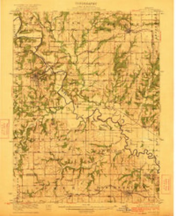
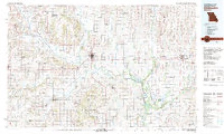
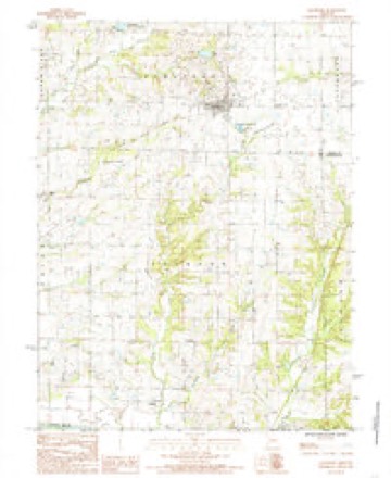
10 topographic sheets cover this place, the earliest surveyed in 1922 and the latest in 1984. It stands in Jackson Township. It lies in ZIP code area 64640. It stands on Hurricane Branch. The Survey maps it on the Jamesport quadrangle.
Topographic sheets covering this place
7 surveys from 10 printed sheetsMatched by testing this settlement's coordinate against the published boundary of every sheet in the United States Geological Survey's historical collection. Each opens the scanned sheet at the Survey.
- 1922 USGS Gallatin quadrangle1:62500, 2 printings
- 1953 USGS Moberly quadrangle1:250000
- 1954 USGS Moberly quadrangle1:250000, 3 printings
- 1957 USGS Moberly quadrangle1:250000
- 1960 USGS Moberly quadrangle1:250000
- 1981 USGS Chillicothe quadrangle1:100000
- 1984 USGS Jamesport quadrangle1:24000




What happened here
An account from the chapter on Jackson township. The inset identifies its exact source book and publication year.
John Oxford
The subject of this sketch was born in Clay county, Kentucky, April 9, 1833. His parents are Jonathan and Elizabeth Spurlock Oxford, the former a native of North Carolina, and the latter of Kentucky. Tis father was one of the first settlers of Daviess county, and was taken out and shot during the war, April 4, 1863; his mother still resides upon the farm where they first settled upon their arrival in this connty.
In the county-history sources
8,979 words on this townshipThe History Of Daviess County, Missouri (Birdsall & Dean, 1882), published 1882 names this settlement in its chapter on Jackson Township. These are the passages that mention it, exactly as the scans read.
Was born uear Petershorough, in Canada, April 2, 1838. His parents, John and Susan Lee Carlow, were natives of Eithadils his tather died in Canada in 1879, and his mother still resides there. When twenty-tive years of age, Joseph H. Carlow left his uative place and went to Saginaw, Michigan,' where he remained two years engaged in building. From the Wolverine State he went to Franklin, Venango county, Pennsviveniix where he remained until the tall of 1865, when ie migrated to Caldwell county, Missouri, and there lived some ten years, when he removed to this county, where he has since made his home. Mr. Carlow owns the Jackson mills, also a saw-mill, and is largely interested in real estate in and around Jackson Station, besides in other portions of the county.
Passage source: The History Of Daviess County, Missouri (Birdsall & Dean, 1882), published 1882.
On the 28th of May, 1865, Mr. Carlow was joined in marriage to Miss Annie Murphy, in Franklin, Pennsylvania. By this union they have seven children, named as follows: Susie B., Mamie, Annie, William J., Hattie, Bessie and Eddie. Mr. and Mrs. Carlow are members of the Catholic Church, and highly esteemed by all who know them.
Passage source: The History Of Daviess County, Missouri (Birdsall & Dean, 1882), published 1882.
Machine-read from a century-old scan, so expect the errors a machine makes: misspelled names, dropped words, stray characters.
Fires near this place
2 since 2002Regional context, not property-specific evidence. The federal wildfire occurrence database lists 2 fires within 5 miles of Carlow between 2002 and 2020, burning about 23 acres in total. None started naturally. None was recorded as arson. Distance is straight-line from the map coordinates, so a fire counted here may appear on a neighbouring settlement's page as well.
| Reported cause | Fires |
|---|---|
| Debris and open burning | 2 |
The most recent of them, most recent first, with the day each was reported and the service that recorded it.
| Date | Cause | Size | Reported by | Name on the report |
|---|---|---|---|---|
| 4 April 2002 | Debris and open burning | 20 acres | Missouri Department of Conservation | not named |
| 5 March 2020 | Debris and open burning | 3.0 acres | Missouri Department of Conservation | 261533-03160-03052020-1620 |
Settlements close enough to share some of these fires:
Mines and quarries near this place
4 within 5 milesRegional context, not property-specific evidence. The federal mineral resources record lists 4 workings within 5 miles of Carlow: 4 past producers. None of them still produces. What was taken out: Stone, Crushed/Broken, Sand and Gravel, Construction. Distance is straight-line from the map coordinates, so a quarry counted here may appear on a neighbouring settlement's page as well.
| Where | Site | Commodity | Status | Recorded |
|---|---|---|---|---|
| Lock Springs Quarry | Stone, Crushed/Broken | Past Producer | ||
| Unk | Sand and Gravel, Construction | Past Producer | ||
| Unk | Sand and Gravel, Construction | Past Producer | ||
| Unk | Stone, Crushed/Broken | Past Producer |
Storms near this place
8 since 1998Regional context, not property-specific evidence. The National Weather Service names Carlow in 8 storm reports between 1998 and 2019: 3 flash flood, 2 thunderstorm wind, 2 flood, 1 hail. No death or injury is recorded in these reports. Each account below is quoted exactly as the forecast office filed it, from the NOAA Storm Events Database, and each date opens the federal record of that event.
| When | Event | Place named | Harm | What the report says |
|---|---|---|---|---|
| August 2019 | Flash Flood | Carlow | - | Water was over the roadway, causing a vehicle to stall. A passing motorist helped the person to safety. |
| May 2019 | Flood | Carlow | - | State Highway M closed near Lock Springs. |
| June 2017 | Thunderstorm Wind | Carlow | - | Fire department near Lock Springs reported 60 mph wind. |
| April 2017 | Flood | Carlow | - | State Route M was closed due to flooding by nearby creeks. |
| July 2010 | Flash Flood | Carlow | - | Flowing water was reported up to 6 inches deep on Highway V. |
| June 2008 | Flash Flood | Carlow | - | The intersection of Highway 190 and Route V was under several feet of water. |
| May 1998 | Hail | Carlow | - | Dime-size hail was reported during a thunderstorm 5 miles southwest of Carlow. |
| August 2007 | Thunderstorm Wind | Carlow | - | no account filed |
Nearest settlements
The eight closest, with where each one stands in the county. Distances are straight-line, computed from the Geographic Names Information System coordinates.
| Map | Place | Distance | Sheets |
|---|---|---|---|
| Magill | 3.1 miles | 10 | |
| Lock Springs | 3.7 miles | 10 | |
| Blake | 5.0 miles | 10 | |
| Wabash Crossing | 6.5 miles | 10 | |
| Jamesport | 6.7 miles | 10 | |
| Gallatin | 7.3 miles | 10 | |
| Jameson | 11.6 miles | 13 | |
| Altamont | 13.6 miles | 15 |
Provenance
This settlement is recorded in the Geographic Names Information System as feature 730067. The sheet list is computed by point-in-boundary test against the United States Geological Survey's historical topographic inventory. Both are works of the United States government and carry no copyright under 17 U.S.C. 105.
Wildfire. Short, Karen C. 2022. Spatial wildfire occurrence data for the United States, 1992-2020 [FPA_FOD_20221014]. 6th Edition. Fort Collins, CO: Forest Service Research Data Archive. https://doi.org/10.2737/RDS-2013-0009.6 Collected with United States Government funding and usable without additional permissions or fees.
Mines and quarries. USGS Mineral Resources Data System (MRDS) https://mrdata.usgs.gov/mrds/ A work of the United States government, no copyright under 17 U.S.C. 105.
Storms. NOAA National Centers for Environmental Information, Storm Events Database https://www.ncei.noaa.gov/stormevents/ A work of the United States government, no copyright under 17 U.S.C. 105. Narratives are quoted verbatim from the National Weather Service report and are not edited or summarised.