 Block
Carterville, Missouri
17 topographic sheets cover this place, the earliest surveyed in 1886 and the latest in 1991. It stands in Joplin Township. It lies in ZIP code area 64835. The Survey maps it on the Webb City quadrangle. 1,855 people lived here at the 2020 count. It stands 984 feet above sea level.
Population over time
2 figuresCarterville fell from 1,891 to 1,855 between 2010 and 2020. These are the recorded population figures Wikidata holds for this place, reached through the Geographic Names Information System number this page is keyed on rather than by name, so they belong to this place and not to another of the same name. Most are census counts, but not all are: an early figure may be a founding or settlement estimate, and an estimate published within five years of a census is left out. The change column is computed, and is left blank where more than 20 years separate a figure from the one before it, because a gap that long is not a change between two counts.
| Year | People | Change |
|---|---|---|
| 2010 | 1,891 | |
| 2020 | 1,855 | -36 (-2%) |
Topographic sheets covering this place
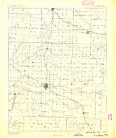
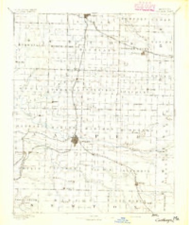
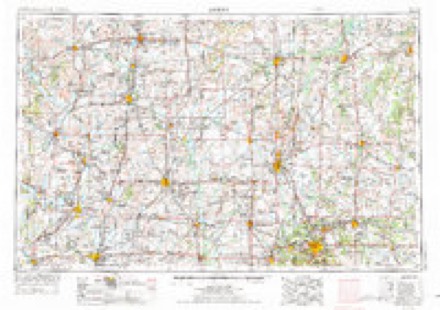
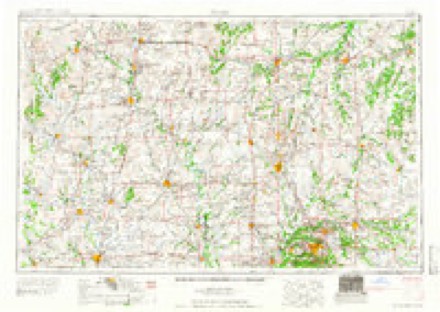
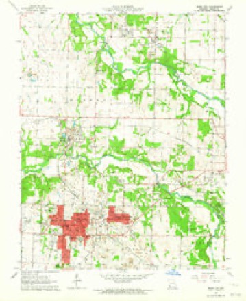
10 surveys from 17 printed sheetsMatched by testing this settlement's coordinate against the published boundary of every sheet in the United States Geological Survey's historical collection. Each opens the scanned sheet at the Survey.
- 1886 USGS Carthage quadrangle1:125000
- 1894 USGS Carthage quadrangle1:125000, 5 printings
- 1947 USGS Joplin quadrangle1:250000
- 1949 USGS Joplin quadrangle1:250000
- 1954 USGS Joplin quadrangle1:250000, 3 printings
- 1958 USGS Joplin quadrangle1:250000
- 1959 USGS Joplin quadrangle1:250000
- 1963 USGS Webb City quadrangle1:24000, 2 printings
- 1986 USGS Joplin quadrangle1:100000
- 1991 USGS Joplin quadrangle1:100000
In the county-history sources
80,318 words on this townshipThe History of Jasper County, Missouri : Including a Condensed History of the State, a Complete History of Carthage and Joplin, Other Towns and Townships : Together with Numerous Portraits of Prominent Men : Cuts of Elegant Residences and Public Buildings : a Sectional Map of the County : Biographical Sketches of Many Enterprising Farmers, Merchants, Mechanics, Professional, and Business Men : the Constitution of the State : an Abstract of Laws : an Elaborate History of Jasper County - Its Topography, Natural History, Pioneers, Organization, Political History, Courts and Bar, Religious, Educational, Medical, Agricultural, Mining, and Horticultural, Its Commercial and Business Interests, Etc, published 1883 names this settlement in its chapter on Joplin Township. These are the passages that mention it, exactly as the scans read.
Galena, Empire City, Thurman, Webb City, Carterville, Oronogo, Smithfield, Carl Junction, and Blende City, are, strictly speaking, little more than suburban towns, each paying royalty to the great city around which they cluster, and upon which they are in great part dependent.
It is now in place to give all that could be ascertained concerning the reverened gentleman from whom the city undoubtedly gained its name. Eev. Harris G. Joplin was a native of Tennessee, born about the year 1810. The father of the subject of this sketch died when he was quite young, leaving him and a widowed mother. They were not abundantly blessed with this world's goods, and hence great want and inconvenience were experienced. Possessed of an indomitable will, however, young Joplin acquired a very liberal education and studied for the ministry. He was ordained in western Tennessee, and at once moved to Missouri, locating in Greene county. There he engaged in preaching and was shortly afterward married to a Miss Simms, of that county. He came to this vicinity in 1840, locating just outside of the corporate limits of the city, near the graveyard, east of East Joplin. There he built a large log-cabin and improved a farm of about eighty acres. He employed a number of negroes, but in connection with his ministerial labors gave personal supervision to all work on his farm. He organized the first Methodist Episcopal congregation in this part of the county, and held meetings in his cabin home. By a gentlemen who was intimately acquainted with him, he is described as an extraordinary man in many respects. He had a clear, well trained voice, was highly excitable, deeply in earnest, and at times would grow most eloquent, holding his audience spell-bound. His height was about five feet eight inches; his weight probably one hundred and fifty-five or sixty pounds. He wore his hair short, shaved clean, had a very light complexion, dressed neatly, but economically, and was of an amiable disposition. While here he built up a large congregation considering the sparse settlement of the country. Devoted, ambitious, and liberal to a fault, he soon found himself so financially embarrassed as to render it necessary for him to dispose of his property, and at the earnest solicitation of friends in Greene county, was induced to return to his former field of labor in the fall of 1844. He labored in Greene and surrounding counties until his death, which occurred in 1847. Near the log-cabin of the Rev. Mr. Joplin was a spring, the source of the little run which now divides East Joplin and empties into Joplin Creek proper. This little stream was originally Joplin Creek, the larger one subsequently taking its name. The city took her name from the creek. As regards the authenticity of the above the writer has only to say that every efibrt has been made to get at the exact facts with results indicated.
The Sunday Herald was established in 1877, the first issue being on March fourth, by the Herald Printing Company, comprising D. C. Farrar, R. T. Sitterley, and A. "W. Carson, all practical printers, and the latter with ten years' experience as a publisher. Four previous attempts at establishing Democratic papers had resulted in disastrous failures to the proprietors. The outlook was not the brightest, but faith in the enterprise and promise of future growth of Joplin, induced the founders to make the venture. Mr. Farrar had charge of the mechanical department, Mr. Sitterley the editorial, and the business management was placed in the hands of Mr. Carson. In November following the Daily Herald was established as a morning paper, and from the date of their first appearance neither has ever missed an issue. The business management has been continuouslv in the of Mr. Carson, and whatever of success has been awarded the enterprise may be ascribed to his persistent work, industry, and enterprise.
Machine-read from a century-old scan, so expect the errors a machine makes: misspelled names, dropped words, stray characters.
Read the whole chapter on Joplin Township - it names this place 6 more 6 times.
Fires near this place
20 since 1993Regional context, not property-specific evidence. The federal wildfire occurrence database lists 20 fires within 5 miles of Carterville between 1993 and 2020, burning about 112 acres in total. None started naturally. None was recorded as arson. Distance is straight-line from the map coordinates, so a fire counted here may appear on a neighbouring settlement's page as well.
| Reported cause | Fires |
|---|---|
| Debris and open burning | 10 |
| Missing data/not specified/undetermined | 10 |
The most recent of them, most recent first, with the day each was reported and the service that recorded it.
| Date | Cause | Size | Reported by | Name on the report |
|---|---|---|---|---|
| 24 September 2015 | Missing data/not specified/undetermined | under an acre | Missouri Department of Conservation | 128610-04912-09242015-1548 |
| 22 September 1993 | Missing data/not specified/undetermined | 1.0 acres | Missouri Department of Conservation | not named |
| 18 July 2013 | Missing data/not specified/undetermined | 1.0 acres | Missouri Department of Conservation | not named |
| 10 July 2013 | Missing data/not specified/undetermined | 3.0 acres | Missouri Department of Conservation | not named |
| 17 May 2014 | Missing data/not specified/undetermined | 2.0 acres | Missouri Department of Conservation | not named |
| 22 April 1998 | Missing data/not specified/undetermined | 1.0 acres | Missouri Department of Conservation | not named |
| 8 March 1993 | Debris and open burning | 1.0 acres | Missouri Department of Conservation | not named |
| 5 March 1994 | Debris and open burning | 10 acres | Missouri Department of Conservation | not named |
Settlements close enough to share some of these fires:
Mines and quarries near this place
10 of 674 shownRegional context, not property-specific evidence. The federal mineral resources record lists 674 workings within 5 miles of Carterville: 667 past producers, 5 producers, 1 unknown, 1 occurrence. 5 still produce. What was taken out: Zinc, Lead, Lead, Zinc, Stone, Crushed/Broken, Zinc. Distance is straight-line from the map coordinates, so a quarry counted here may appear on a neighbouring settlement's page as well.
| Where | Site | Commodity | Status | Recorded |
|---|---|---|---|---|
| Sucker Flats Pit | Clay | Past Producer | ||
| Vogie Chat Plant | Silica | Producer | ||
| Independent Gravel Co | Sand and Gravel, Construction | Producer | ||
| Webb City Chat Plant | Sand and Gravel, Construction | Producer | ||
| Fenix Mine | Zinc, Lead | Past Producer | 1855, 1910 | |
| Unknown - Zn/Pb | Zinc, Lead | Past Producer | ||
| Unknown - Zn/Pb | Zinc, Lead | Past Producer | ||
| Unknown - Zn/Pb | Zinc, Lead | Past Producer | ||
| Aylor Lease N.E. Joplin | Zinc | Past Producer | 1898, 1900 | |
| Crane-Chenoweth Tract | Zinc | Past Producer | 1926, 1927 |
Storms near this place
23 since 1994Regional context, not property-specific evidence. The National Weather Service names Carterville in 23 storm reports between 1994 and 2026: 13 hail, 5 thunderstorm wind, 2 flash flood, 1 tornado. No death or injury is recorded in these reports. Each account below is quoted exactly as the forecast office filed it, from the NOAA Storm Events Database, and each date opens the federal record of that event.
| When | Event | Place named | Harm | What the report says |
|---|---|---|---|---|
| April 2025 | Hail | Carterville | $40,000 | Golf ball sized hail was reported in a mostly rural area between Webb City and Orornogo. Some minor roof and vehicle occurred to a few homes. |
| May 2025 | Thunderstorm Wind | Carterville | $13,000 | Report of a roof torn off of a garage. |
| July 2023 | Lightning | Carterville | $10,000 | A home was struck by lightning causing a minor house fire. |
| April 2019 | Thunderstorm Wind | Carterville | $2,000 | The top of an oak tree was blown onto the side of a house in Carterville causing minor damage. The report was received via social media. |
| July 2016 | Thunderstorm Wind | Carterville | $2,000 | A large tree was blown down on to a power line in Carterville. |
| April 1994 | Tornado (F0) | Carterville | $500 | Reported by the public with little damage. |
| April 2026 | Hail | Carterville | - | Quarter sized hail was reported. |
| April 2025 | Hail | Carterville | - | Quarter sized hail was reported. |
| March 2025 | Thunderstorm Wind | Carterville | - | A 64 mph wind gust was measured near Carterville. |
| March 2024 | Hail | Carterville | - | Several reports of large hail ranging from quarter to golf ball size fell across the Webb City and Carterville areas. |
| March 2020 | Hail | Carterville | - | Dime to penny size hail was reported. |
| February 2018 | Flood | Carterville | - | State Highway D was closed due to flooding along Center Creek. |
| March 2017 | Hail | Carterville | - | This hail report was from social media with a picture. |
| March 2017 | Hail | Carterville | - | Carterville police department reported golf ball size hail. |
| March 2017 | Hail | Carterville | - | This fire chief reported baseball size hail in the Caterville area. There was damage to cars and homes. |
| April 2016 | Thunderstorm Wind | Carterville | - | A tree was reported blown down. |
| April 2011 | Flash Flood | Carterville | - | Highway D was closed due to flooding. |
| September 2009 | Flash Flood | Carterville | - | Road closures occurred near the intersection of Zora and Thicket streets and along Quaker Mill Road near Webb City. |
| March 2017 | Hail | Carterville | - | no account filed |
| March 2015 | Hail | Carterville | - | no account filed |
| May 2012 | Hail | Carterville | - | no account filed |
| July 2009 | Hail | Carterville | - | no account filed |
| June 2001 | Hail | Carterville | - | no account filed |
Nearest settlements
The eight closest, with where each one stands in the county. Distances are straight-line, computed from the Geographic Names Information System coordinates.
| Map | Place | Distance | Sheets |
|---|---|---|---|
| Webb City | 1.1 miles | 17 | |
| Lakeside | 1.6 miles | 17 | |
| Prosperity | 2.0 miles | 17 | |
| Oakland Park | 3.1 miles | 19 | |
| Oronogo | 3.1 miles | 17 | |
| Brooklyn Heights | 3.6 miles | 17 | |
| Airport Drive | 3.6 miles | 18 | |
| Duenweg | 4.8 miles | 19 |
Elsewhere
Matched on this settlement's Geographic Names Information System number rather than its name, so it cannot be a different place of the same name in another state.
| Wikipedia article on Carterville | An encyclopaedic summary. Its text is share-alike, so it is linked here rather than copied. |
| Wikidata item Q961393 | The structured record the population and elevation above come from. Public domain (CC0). |
Provenance
This settlement is recorded in the Geographic Names Information System as feature 715453. The sheet list is computed by point-in-boundary test against the United States Geological Survey's historical topographic inventory. Both are works of the United States government and carry no copyright under 17 U.S.C. 105.
Wildfire. Short, Karen C. 2022. Spatial wildfire occurrence data for the United States, 1992-2020 [FPA_FOD_20221014]. 6th Edition. Fort Collins, CO: Forest Service Research Data Archive. https://doi.org/10.2737/RDS-2013-0009.6 Collected with United States Government funding and usable without additional permissions or fees.
Mines and quarries. USGS Mineral Resources Data System (MRDS) https://mrdata.usgs.gov/mrds/ A work of the United States government, no copyright under 17 U.S.C. 105.
Storms. NOAA National Centers for Environmental Information, Storm Events Database https://www.ncei.noaa.gov/stormevents/ A work of the United States government, no copyright under 17 U.S.C. 105. Narratives are quoted verbatim from the National Weather Service report and are not edited or summarised.