 Block
Prosperity, Missouri
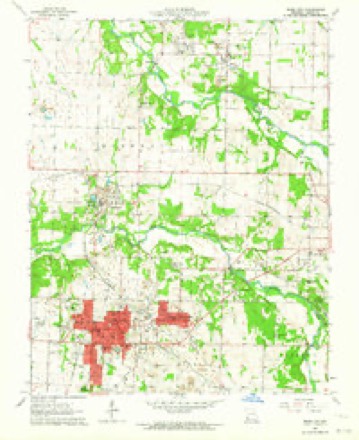
17 topographic sheets cover this place, the earliest surveyed in 1886 and the latest in 1991. It stands in Joplin Township. It lies in ZIP code area 64801. The Survey maps it on the Webb City quadrangle.
Topographic sheets covering this place
10 surveys from 17 printed sheetsMatched by testing this settlement's coordinate against the published boundary of every sheet in the United States Geological Survey's historical collection. Each opens the scanned sheet at the Survey.
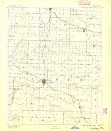
- 1886 USGS Carthage quadrangle1:125000
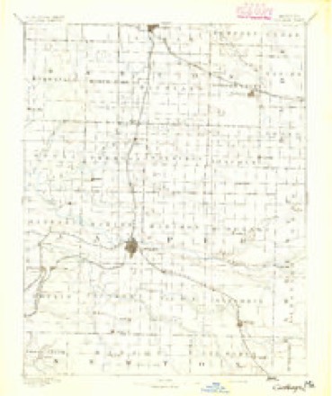
- 1894 USGS Carthage quadrangle1:125000, 5 printings
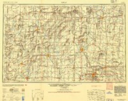
- 1947 USGS Joplin quadrangle1:250000
- 1949 USGS Joplin quadrangle1:250000
- 1954 USGS Joplin quadrangle1:250000, 3 printings
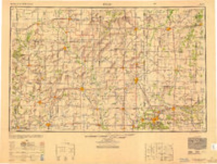
- 1958 USGS Joplin quadrangle1:250000
- 1959 USGS Joplin quadrangle1:250000
- 1963 USGS Webb City quadrangle1:24000, 2 printings
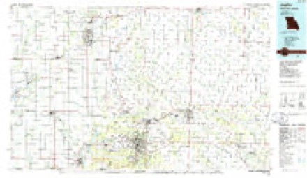
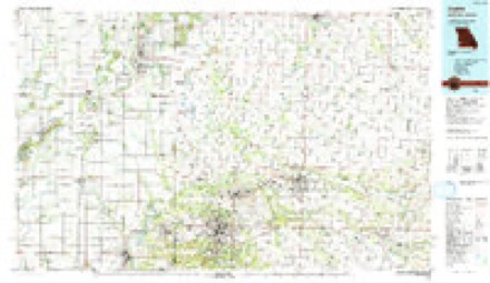
- 1986 USGS Joplin quadrangle1:100000
- 1991 USGS Joplin quadrangle1:100000
In the county-history sources
80,318 words on this townshipThe History of Jasper County, Missouri : Including a Condensed History of the State, a Complete History of Carthage and Joplin, Other Towns and Townships : Together with Numerous Portraits of Prominent Men : Cuts of Elegant Residences and Public Buildings : a Sectional Map of the County : Biographical Sketches of Many Enterprising Farmers, Merchants, Mechanics, Professional, and Business Men : the Constitution of the State : an Abstract of Laws : an Elaborate History of Jasper County - Its Topography, Natural History, Pioneers, Organization, Political History, Courts and Bar, Religious, Educational, Medical, Agricultural, Mining, and Horticultural, Its Commercial and Business Interests, Etc, published 1883 names this settlement in its chapter on Joplin Township. These are the passages that mention it, exactly as the scans read.
The Sunday Herald was established in 1877, the first issue being on March fourth, by the Herald Printing Company, comprising D. C. Farrar, R. T. Sitterley, and A. "W. Carson, all practical printers, and the latter with ten years' experience as a publisher. Four previous attempts at establishing Democratic papers had resulted in disastrous failures to the proprietors. The outlook was not the brightest, but faith in the enterprise and promise of future growth of Joplin, induced the founders to make the venture. Mr. Farrar had charge of the mechanical department, Mr. Sitterley the editorial, and the business management was placed in the hands of Mr. Carson. In November following the Daily Herald was established as a morning paper, and from the date of their first appearance neither has ever missed an issue. The business management has been continuouslv in the of Mr. Carson, and whatever of success has been awarded the enterprise may be ascribed to his persistent work, industry, and enterprise.
The result of the city election of 1880 demonstrated the fact that the tax-payers of the city, from the smallest to the largest, were almost unanimously in favor of pushing this plan to a successful issue. The new council soon passed the proper ordinances for procuring the names, and very soon afterward advertised for proposals. A committee consisting in part of members of the city council, and in part of prominent citizens, was appointed by the mayor with instructions to receive all proposals, examine the same, and select and report to the city council the one they should consider the most favorable. The following gentlemen constituted the committee; viz.,]W. E. Maynard, mayor, L. A. Fillmore, P. Murphy, J. Hewitt, (). H. Richer, A.
Machine-read from a century-old scan, so expect the errors a machine makes: misspelled names, dropped words, stray characters.
Fires near this place
42 since 1993Regional context, not property-specific evidence. The federal wildfire occurrence database lists 42 fires within 5 miles of Prosperity between 1993 and 2017, burning about 58 acres in total. None started naturally. None was recorded as arson. Distance is straight-line from the map coordinates, so a fire counted here may appear on a neighbouring settlement's page as well.
| Reported cause | Fires |
|---|---|
| Debris and open burning | 23 |
| Missing data/not specified/undetermined | 14 |
| Equipment and vehicle use | 3 |
| Misuse of fire by a minor | 1 |
| Recreation and ceremony | 1 |
The most recent of them, most recent first, with the day each was reported and the service that recorded it.
| Date | Cause | Size | Reported by | Name on the report |
|---|---|---|---|---|
| 24 September 2015 | Missing data/not specified/undetermined | under an acre | Missouri Department of Conservation | 128610-04912-09242015-1548 |
| 22 September 1993 | Missing data/not specified/undetermined | 1.0 acres | Missouri Department of Conservation | not named |
| 10 September 2013 | Missing data/not specified/undetermined | 1.0 acres | Missouri Department of Conservation | not named |
| 30 August 2000 | Debris and open burning | 3.0 acres | Missouri Department of Conservation | not named |
| 24 August 2014 | Debris and open burning | 1.0 acres | Missouri Department of Conservation | not named |
| 22 August 2000 | Misuse of fire by a minor | 3.0 acres | Missouri Department of Conservation | not named |
| 18 July 2013 | Missing data/not specified/undetermined | 1.0 acres | Missouri Department of Conservation | not named |
| 16 July 2000 | Equipment and vehicle use | 1.0 acres | Missouri Department of Conservation | not named |
Settlements close enough to share some of these fires:
Mines and quarries near this place
10 of 714 shownRegional context, not property-specific evidence. The federal mineral resources record lists 714 workings within 5 miles of Prosperity: 707 past producers, 5 producers, 1 unknown, 1 occurrence. 5 still produce. What was taken out: Lead, Zinc, Zinc, Lead, Stone, Crushed/Broken, Zinc. Distance is straight-line from the map coordinates, so a quarry counted here may appear on a neighbouring settlement's page as well.
| Where | Site | Commodity | Status | Recorded |
|---|---|---|---|---|
| Sucker Flats Pit | Clay | Past Producer | ||
| Vogie Chat Plant | Silica | Producer | ||
| Independent Gravel Co | Sand and Gravel, Construction | Producer | ||
| Webb City Chat Plant | Sand and Gravel, Construction | Producer | ||
| Unknown - Zn/Pb | Zinc, Lead | Past Producer | ||
| Unknown - Zn/Pb | Zinc, Lead | Past Producer | ||
| Unknown - Zn/Pb | Zinc, Lead | Past Producer | ||
| Phelps Lease | Zinc | Past Producer | 1891, 1892 | |
| Unknown - Zn | Zinc | Past Producer | ||
| Busboom Quarry | Stone, Crushed/Broken | Past Producer |
Storms near this place
5 since 2011Regional context, not property-specific evidence. The National Weather Service names Prosperity in 5 storm reports between 2011 and 2022: 2 flash flood, 1 thunderstorm wind, 1 tornado, 1 hail. No death or injury is recorded in these reports. Each account below is quoted exactly as the forecast office filed it, from the NOAA Storm Events Database, and each date opens the federal record of that event.
| When | Event | Place named | Harm | What the report says |
|---|---|---|---|---|
| June 2013 | Flash Flood | Prosperity | $250,000 | There was flash flooding across the central portions of Jasper County. All emergency crews were assisting in water rescue operations, particularly in an area between Carthage and Carterville. A section of a railroad crossing was washed out just north of Carthage. Several homes and cars were flooded. |
| July 2011 | Thunderstorm Wind | Prosperity | $110,000 | A NWS storm survey revealed that a microburst with winds estimated between 90 and 100 mph partially peeled a roof off a garage. These winds also rolled an 1100 pound fiber optic sewer pipe 200 yards. |
| April 2015 | Tornado (EF0) | Prosperity | $10,000 | A NWS storm survey indicated a brief tornado with winds around 80 mph or an EF-0 tornado occurred near Webb City. The tornado caused the destruction of two outbuildings with some debris thrown across the street. There was additional damage that occurred to a roof, gutters, and siding of a single family home. Some of the siding was thrown approximately 150 yards. Several hardwood trees suffered significant damage with limbs down both to the east and west. Winds were estimated up to 80 mph. |
| April 2022 | Hail | Prosperity | - | Half dollar sized hail was reported via social media. |
| July 2013 | Flash Flood | Prosperity | - | County Road 200 at Highway HH was closed due to flooding. |
Nearest settlements
The eight closest, with where each one stands in the county. Distances are straight-line, computed from the Geographic Names Information System coordinates.
| Map | Place | Distance | Sheets |
|---|---|---|---|
| Carterville | 2.0 miles | 17 | |
| Lakeside | 2.3 miles | 17 | |
| Webb City | 2.6 miles | 17 | |
| Atlas | 2.8 miles | 19 | |
| Duenweg | 3.0 miles | 19 | |
| Oakland Park | 3.1 miles | 19 | |
| Scotland | 3.8 miles | 19 | |
| Brooklyn Heights | 3.8 miles | 17 |
Elsewhere
Matched on this settlement's Geographic Names Information System number rather than its name, so it cannot be a different place of the same name in another state.
| Wikipedia article on Prosperity | An encyclopaedic summary. Its text is share-alike, so it is linked here rather than copied. |
| Wikidata item Q27985447 | The structured record the population and elevation above come from. Public domain (CC0). |
Provenance
This settlement is recorded in the Geographic Names Information System as feature 724960. The sheet list is computed by point-in-boundary test against the United States Geological Survey's historical topographic inventory. Both are works of the United States government and carry no copyright under 17 U.S.C. 105.
Wildfire. Short, Karen C. 2022. Spatial wildfire occurrence data for the United States, 1992-2020 [FPA_FOD_20221014]. 6th Edition. Fort Collins, CO: Forest Service Research Data Archive. https://doi.org/10.2737/RDS-2013-0009.6 Collected with United States Government funding and usable without additional permissions or fees.
Mines and quarries. USGS Mineral Resources Data System (MRDS) https://mrdata.usgs.gov/mrds/ A work of the United States government, no copyright under 17 U.S.C. 105.
Storms. NOAA National Centers for Environmental Information, Storm Events Database https://www.ncei.noaa.gov/stormevents/ A work of the United States government, no copyright under 17 U.S.C. 105. Narratives are quoted verbatim from the National Weather Service report and are not edited or summarised.