 Block
Claysville, Missouri
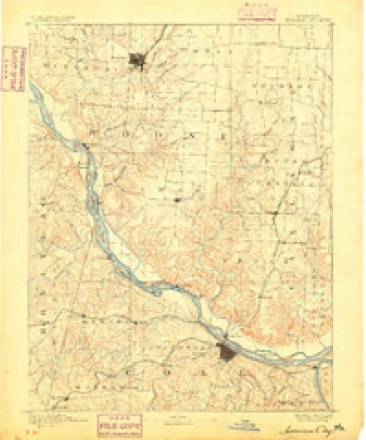
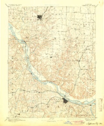
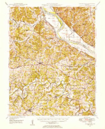
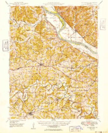
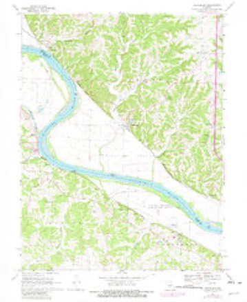
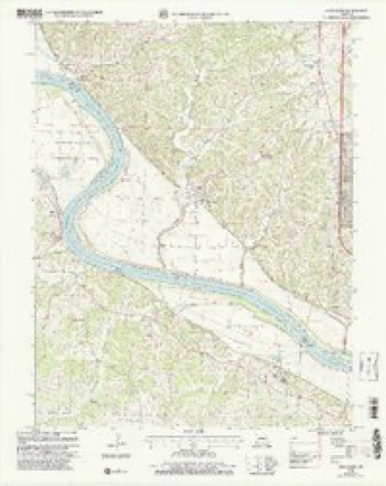
20 topographic sheets cover this place, the earliest surveyed in 1886 and the latest in 2000. It stands in Cedar Township. It lies in ZIP code area 65039. The Survey maps it on the Hartsburg quadrangle.
Topographic sheets covering this place
12 surveys from 20 printed sheetsMatched by testing this settlement's coordinate against the published boundary of every sheet in the United States Geological Survey's historical collection. Each opens the scanned sheet at the Survey.
- 1886 USGS Jefferson City quadrangle1:125000
- 1894 USGS Jefferson City quadrangle1:125000, 4 printings
- 1947 USGS Jefferson City quadrangle1:250000
- 1948 USGS Centertown quadrangle1:62500
- 1949 USGS Centertown quadrangle1:62500
- 1954 USGS Jefferson City quadrangle1:250000, 2 printings
- 1955 USGS Jefferson City quadrangle1:250000, 4 printings
- 1958 USGS Jefferson City quadrangle1:250000
- 1959 USGS Jefferson City quadrangle1:250000
- 1969 USGS Hartsburg quadrangle1:24000, 2 printings
- 1982 USGS Jefferson City quadrangle1:100000
- 2000 USGS Hartsburg quadrangle1:24000





What happened here
An account from the chapter on Cedar township. The inset identifies its exact source book and publication year.
Jones The Joker
Joseph G. Jones is a historic character, in the sense of being the "boss joker" of Boone. It is related of him that once, when a neighbor came to his house and ground some sausage, Jones told him, while there, of a panther that had been prowling around, and cautioned him to be on his guard. After he was fully away from the house, returning through the woods, Jones took a near cut, headed him off" in the woods, and set up a mock-panther scream that caused the hair to rise on his scared neighbor's head, who dropped his bucket of sausage and ran for his life.
In the county-history sources
32,093 words on this townshipHistory of Boone County, Missouri. Written and Comp. from the Most Authentic Official and Private Sources; Including a History of Its Townships, Towns, and Villages. Together with a Condensed History of Missouri; the City of St. Louis ... Biographical Sketches and Portraits of Prominent Citizens .., published 1882 names this settlement in its chapter on Cedar Township. These are the passages that mention it, exactly as the scans read.
James Beazley came from Virginia to Boone county in 1828, and settled on section 30, township 48, range Id, where he lived till his death, in 1854. Henry Jefierson, the father-in-law of Beazley, was also a Virginian, and came to Boone in 1827. He located on the southeast quarter of section 16, township 47, range 13. Louis Hume came from Madison county, Ky., in 1823, and settled on the northeast quarter of section 5, township 47, range 13.
Near Claysville were Robert P. Carter, who came from Virginia originally, and from Kentucky to Missouri directly, in the year 1829, and settled where the town of Claysville now stands. Capt. Wm. Ramsey made his advent into the county in about 1825, locating a mile and a quarter west of Claysville. The captain was probably never commissioned to his office, but won his spurs, as it were, by being a great and successful Indian fighter. Job Murray, a Tennesseean, settled one mile east of Claysville, in 1835 or 1836. Greenberry Blevins was an early settler, and made his claim on the Clardy farm.
P. H. Mellon claims to have put up the first store in Claysville, in 1845 or 1846. He was probably the first postmaster. Claysville has for a long time been a steamboat landing, and a great deal of freight has been received and shipped from time to time. Robt. P. Carter, a native of Culpepper county, Ya., who came to Boone in 1829, first settled where Claysville now is, and kept a wood-yard for a number of years. The town was named for Henry Clay.
Machine-read from a century-old scan, so expect the errors a machine makes: misspelled names, dropped words, stray characters.
Read the whole chapter on Cedar Township - it names this place 21 more 21 times.
Fires near this place
3 since 2014Regional context, not property-specific evidence. The federal wildfire occurrence database lists 3 fires within 5 miles of Claysville between 2014 and 2017, burning about 6 acres in total. None started naturally. None was recorded as arson. Distance is straight-line from the map coordinates, so a fire counted here may appear on a neighbouring settlement's page as well.
| Reported cause | Fires |
|---|---|
| Debris and open burning | 2 |
| Missing data/not specified/undetermined | 1 |
The most recent of them, most recent first, with the day each was reported and the service that recorded it.
| Date | Cause | Size | Reported by | Name on the report |
|---|---|---|---|---|
| 1 April 2014 | Debris and open burning | 2.0 acres | Missouri Department of Conservation | not named |
| 5 February 2017 | Missing data/not specified/undetermined | 3.0 acres | Missouri Department of Conservation | not named |
| 28 December 2016 | Debris and open burning | 1.0 acres | Missouri Department of Conservation | 143311-01416-12282016-1456 |
Mines and quarries near this place
10 of 17 shownRegional context, not property-specific evidence. The federal mineral resources record lists 17 workings within 5 miles of Claysville: 16 past producers, 1 producer. 1 still produces. What was taken out: Stone, Crushed/Broken, Barium-Barite, Lead, Zinc, Coal, Lead. Distance is straight-line from the map coordinates, so a quarry counted here may appear on a neighbouring settlement's page as well.
| Where | Site | Commodity | Status | Recorded |
|---|---|---|---|---|
| Chambers Jack Prospect | Lead | Past Producer | ||
| Unknown | Barium-Barite, Lead, Zinc, Coal | Past Producer | ||
| Adrian Materials Mine | Stone, Crushed/Broken | Producer | ||
| Adrian Materials Quarry & Plant | Stone, Crushed/Broken | Past Producer | ||
| Hartsburg Quarry - Ls. | Stone, Crushed/Broken | Past Producer | ||
| Unknown | Stone, Crushed/Broken | Past Producer | ||
| Unknown | Stone, Crushed/Broken | Past Producer | ||
| Unknown - Ls | Stone, Crushed/Broken | Past Producer | ||
| Unknown - Ls | Stone, Crushed/Broken | Past Producer | ||
| Unknown - Ls. | Stone, Crushed/Broken | Past Producer |
Storms near this place
2 since 2008Regional context, not property-specific evidence. The National Weather Service names Claysville in 2 storm reports between 2008 and 2015: 1 hail, 1 flash flood. No death or injury is recorded in these reports. Each account below is quoted exactly as the forecast office filed it, from the NOAA Storm Events Database, and each date opens the federal record of that event.
| When | Event | Place named | Harm | What the report says |
|---|---|---|---|---|
| December 2015 | Flash Flood | Claysville | - | Between 3 and 4 inches of rain fell causing flash flooding. Numerous roads were flooded including Route H at Rangeline Road and Highway CC at Tri-City Road. |
| March 2008 | Hail | Claysville | - | no account filed |
Nearest settlements
The eight closest, with where each one stands in the county. Distances are straight-line, computed from the Geographic Names Information System coordinates.
| Map | Place | Distance | Sheets |
|---|---|---|---|
| Stonesport (historical) | 1.3 miles | 20 | |
| Hartsburg | 3.5 miles | 20 | |
| Oldham | 4.8 miles | 20 | |
| Wilton | 7.3 miles | 20 | |
| Eureka (historical) | 7.7 miles | 20 | |
| Ashland | 7.8 miles | 21 | |
| Easley | 11.5 miles | 20 | |
| Englewood | 11.8 miles | 23 |
Elsewhere
Matched on this settlement's Geographic Names Information System number rather than its name, so it cannot be a different place of the same name in another state.
| Wikipedia article on Claysville | An encyclopaedic summary. Its text is share-alike, so it is linked here rather than copied. |
| Wikidata item Q27983984 | The structured record the population and elevation above come from. Public domain (CC0). |
Provenance
This settlement is recorded in the Geographic Names Information System as feature 749375. The sheet list is computed by point-in-boundary test against the United States Geological Survey's historical topographic inventory. Both are works of the United States government and carry no copyright under 17 U.S.C. 105.
Wildfire. Short, Karen C. 2022. Spatial wildfire occurrence data for the United States, 1992-2020 [FPA_FOD_20221014]. 6th Edition. Fort Collins, CO: Forest Service Research Data Archive. https://doi.org/10.2737/RDS-2013-0009.6 Collected with United States Government funding and usable without additional permissions or fees.
Mines and quarries. USGS Mineral Resources Data System (MRDS) https://mrdata.usgs.gov/mrds/ A work of the United States government, no copyright under 17 U.S.C. 105.
Storms. NOAA National Centers for Environmental Information, Storm Events Database https://www.ncei.noaa.gov/stormevents/ A work of the United States government, no copyright under 17 U.S.C. 105. Narratives are quoted verbatim from the National Weather Service report and are not edited or summarised.