 Block
Stonesport, Missouri
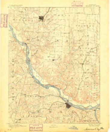
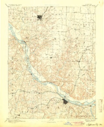
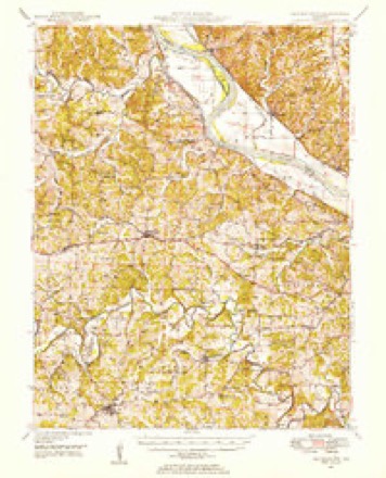
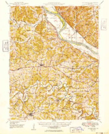
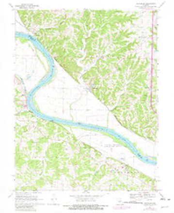
20 topographic sheets cover this place, the earliest surveyed in 1886 and the latest in 2000. It stands in Cedar Township. It lies in ZIP code area 65039. It stands on Slate Creek. The Survey maps it on the Hartsburg quadrangle. The federal gazetteer marks this settlement historical: it is no longer a populated place, though the surveys that recorded it still are.
Topographic sheets covering this place
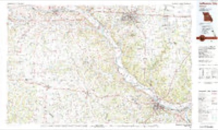
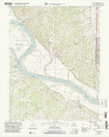
12 surveys from 20 printed sheetsMatched by testing this settlement's coordinate against the published boundary of every sheet in the United States Geological Survey's historical collection. Each opens the scanned sheet at the Survey.
- 1886 USGS Jefferson City quadrangle1:125000
- 1894 USGS Jefferson City quadrangle1:125000, 4 printings
- 1947 USGS Jefferson City quadrangle1:250000
- 1948 USGS Centertown quadrangle1:62500
- 1949 USGS Centertown quadrangle1:62500
- 1954 USGS Jefferson City quadrangle1:250000, 2 printings
- 1955 USGS Jefferson City quadrangle1:250000, 4 printings
- 1958 USGS Jefferson City quadrangle1:250000
- 1959 USGS Jefferson City quadrangle1:250000
- 1969 USGS Hartsburg quadrangle1:24000, 2 printings
- 1982 USGS Jefferson City quadrangle1:100000
- 2000 USGS Hartsburg quadrangle1:24000





What happened here
An account from the chapter on Cedar township. The inset identifies its exact source book and publication year.
Jones The Joker
Joseph G. Jones is a historic character, in the sense of being the "boss joker" of Boone. It is related of him that once, when a neighbor came to his house and ground some sausage, Jones told him, while there, of a panther that had been prowling around, and cautioned him to be on his guard. After he was fully away from the house, returning through the woods, Jones took a near cut, headed him off" in the woods, and set up a mock-panther scream that caused the hair to rise on his scared neighbor's head, who dropped his bucket of sausage and ran for his life.
In the county-history sources
32,093 words on this townshipHistory of Boone County, Missouri. Written and Comp. from the Most Authentic Official and Private Sources; Including a History of Its Townships, Towns, and Villages. Together with a Condensed History of Missouri; the City of St. Louis ... Biographical Sketches and Portraits of Prominent Citizens .., published 1882 names this settlement in its chapter on Cedar Township. These are the passages that mention it, exactly as the scans read.
In digging a well near Stonesport, about the year 1860, when the w^orkmen had reached a depth of some twenty-two feet some pieces of ribs belonging to a prehistoric animal, resembling a mastodon, were found. They were about 24 inches in length by about three in width.
The Rockbridge mills, situated on section 7, township 47, range 12, six miles straight south of Coliniibia, take the name from a natural bridge spanning the Little Bonne Femme creek at the place where the mills are located. The creek sinks into the ground on the farm of Alexander Bradford, about three miles above the bridge, and emerges from a cave about fifty feet above the mill. Here it passes under the natural bridge of rock about 100 feet wide. It is seventy feet from the ground to the top of the bridge, the arch of which is fifteen feet high and forty feet wide. In 1876, Mr. Emmitt, the present owner, built a stone wall across the side of the rock farthest from the mill. The mill was built by S. Tuttle, in 1822, and was among the first in the county. Tuttle had associated with him other gentlemen. It was built of logs, and the next year broke down aiid was washed away. It was rebuilt by-Keyser c5; Co , partly of logs and partly framed, and stood thus till sold to James McConathy, in 1840. He made additions to it, and changed the power from water to steam, and added a distillery. About the close of the war it passed into the hands of Mr. James Emmitt, of Ohio, who still owns the property, which is occupied by his son, David M. Emmitt.
Cordell, district deputy, and the date of their dispensation was July 30, 1873, their charter being dated Decenber 23, 1873. A. G. Payne, Miles Forbis, James W. Edwards, R. V. Burnett, Milton Forbis, E. M. Bass, J. G. Jones, A. G. Martin, R. T. Bass, R. E. Sappington, J. C. Wilcox, Mrs. Mary J. Martin, Mrs. Julia M. Bass and ten others were the original and charter members. The first officers were as follows : Master, A. G. Payne ; overseer, J. G. Jones ; chaplain, W. T. Waters ; steAvard, J. H. Sappington ; assistant steward, R. T. Bass ; treasurer, James Edwards ; secretary, R. E. Sappington ; lecturer, E. M. Bass ; gate keeper, J, C, Wilcox. The present officers are : Master, J. G. Jones; overseer, S. H. Whitfield; lecturer, R. V.Burnett; steward, J. H. Sappington ; assistant steward, Eli Winterbower ; chaplain, William Coons ; treasurer, T. Christian; secretary, G. D. Sappington ; gate keeper, J. H. Nichols ; Pomona, Mary B. Sappington ; Ceres, Susan E. Bager ; lady assistant steward, Celestine Guilloze. The grange at this writing numbers a membership of fifty. They use a rented hall, having never built a room in which to meet.
Machine-read from a century-old scan, so expect the errors a machine makes: misspelled names, dropped words, stray characters.
Read the whole chapter on Cedar Township - it names this place 2 more 2 times.
Mines and quarries near this place
10 of 27 shownRegional context, not property-specific evidence. The federal mineral resources record lists 27 workings within 5 miles of Stonesport (historical): 25 past producers, 2 producers. 2 still produce. What was taken out: Stone, Crushed/Broken, Barium-Barite, Barium-Barite, Lead, Zinc, Coal, Lead. Distance is straight-line from the map coordinates, so a quarry counted here may appear on a neighbouring settlement's page as well.
| Where | Site | Commodity | Status | Recorded |
|---|---|---|---|---|
| C. Weber Mine | Barium-Barite, Zinc | Past Producer | 1900 | |
| Chambers Jack Prospect | Lead | Past Producer | ||
| Unknown | Barium-Barite, Lead, Zinc, Coal | Past Producer | ||
| Dunlap Diggings | Barium-Barite | Past Producer | ||
| Unknown | Barium-Barite | Past Producer | ||
| Adrian Materials Mine | Stone, Crushed/Broken | Producer | ||
| Adrian Materials Quarry & Plant | Stone, Crushed/Broken | Past Producer | ||
| Brown Quarries | Stone, Crushed/Broken | Past Producer | ||
| Hartsburg Quarry - Ls. | Stone, Crushed/Broken | Past Producer | ||
| Hitch Quarry | Stone, Crushed/Broken | Past Producer |
Nearest settlements
The eight closest, with where each one stands in the county. Distances are straight-line, computed from the Geographic Names Information System coordinates.
| Map | Place | Distance | Sheets |
|---|---|---|---|
| Claysville | 1.3 miles | 20 | |
| Hartsburg | 2.4 miles | 20 | |
| Oldham | 4.5 miles | 20 | |
| Wilton | 6.2 miles | 20 | |
| Eureka (historical) | 6.5 miles | 20 | |
| Ashland | 7.5 miles | 21 | |
| Easley | 10.5 miles | 20 | |
| Sapp | 11.5 miles | 21 |
Provenance
This settlement is recorded in the Geographic Names Information System as feature 759369. The sheet list is computed by point-in-boundary test against the United States Geological Survey's historical topographic inventory. Both are works of the United States government and carry no copyright under 17 U.S.C. 105.
Mines and quarries. USGS Mineral Resources Data System (MRDS) https://mrdata.usgs.gov/mrds/ A work of the United States government, no copyright under 17 U.S.C. 105.