 Block
Hartsburg, Missouri
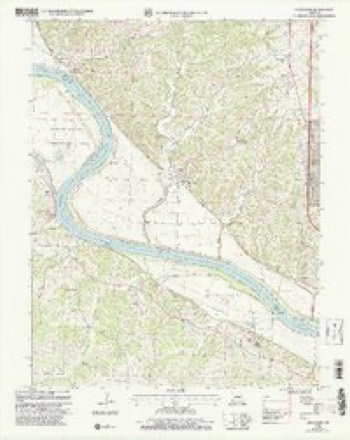
20 topographic sheets cover this place, the earliest surveyed in 1886 and the latest in 2000. It stands in Cedar Township. It lies in ZIP code area 65039. It stands on Dead Creek (historical). The Survey maps it on the Hartsburg quadrangle. 133 people lived here at the 2020 count. It stands 561 feet above sea level.
On record in Hartsburg
Buildings and businesses the archive holds for this place. Each opens its own page, with the source record it came from.
On the National Register 2 records
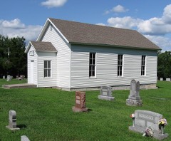 Bond's Chapel Methodist Episcopal Churchlisted 1993
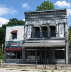 Samuel E. Hackman Buildinglisted 1998
Population over time
2 figuresHartsburg grew from 103 to 133 between 2010 and 2020. These are the recorded population figures Wikidata holds for this place, reached through the Geographic Names Information System number this page is keyed on rather than by name, so they belong to this place and not to another of the same name. Most are census counts, but not all are: an early figure may be a founding or settlement estimate, and an estimate published within five years of a census is left out. The change column is computed, and is left blank where more than 20 years separate a figure from the one before it, because a gap that long is not a change between two counts.
| Year | People | Change |
|---|---|---|
| 2010 | 103 | |
| 2020 | 133 | +30 (+29%) |
Topographic sheets covering this place
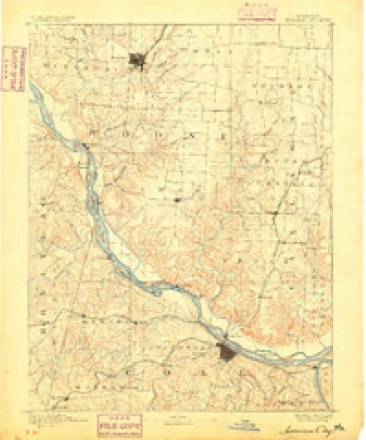
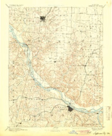
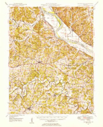
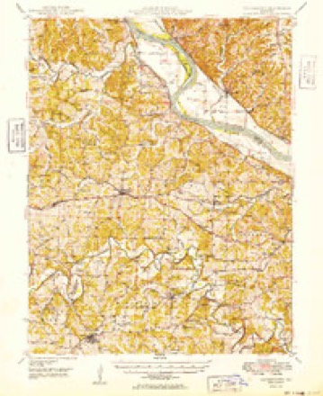
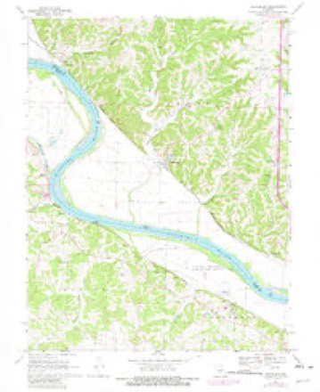
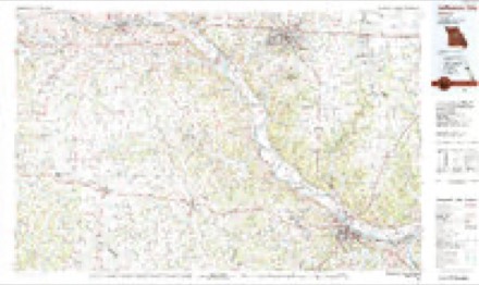
12 surveys from 20 printed sheetsMatched by testing this settlement's coordinate against the published boundary of every sheet in the United States Geological Survey's historical collection. Each opens the scanned sheet at the Survey.
- 1886 USGS Jefferson City quadrangle1:125000
- 1894 USGS Jefferson City quadrangle1:125000, 4 printings
- 1947 USGS Jefferson City quadrangle1:250000
- 1948 USGS Centertown quadrangle1:62500
- 1949 USGS Centertown quadrangle1:62500
- 1954 USGS Jefferson City quadrangle1:250000, 2 printings
- 1955 USGS Jefferson City quadrangle1:250000, 4 printings
- 1958 USGS Jefferson City quadrangle1:250000
- 1959 USGS Jefferson City quadrangle1:250000
- 1969 USGS Hartsburg quadrangle1:24000, 2 printings
- 1982 USGS Jefferson City quadrangle1:100000
- 2000 USGS Hartsburg quadrangle1:24000





What happened here
An account from the chapter on Cedar township. The inset identifies its exact source book and publication year.
Jones The Joker
Joseph G. Jones is a historic character, in the sense of being the "boss joker" of Boone. It is related of him that once, when a neighbor came to his house and ground some sausage, Jones told him, while there, of a panther that had been prowling around, and cautioned him to be on his guard. After he was fully away from the house, returning through the woods, Jones took a near cut, headed him off" in the woods, and set up a mock-panther scream that caused the hair to rise on his scared neighbor's head, who dropped his bucket of sausage and ran for his life.
In the county-history sources
32,093 words on this townshipHistory of Boone County, Missouri. Written and Comp. from the Most Authentic Official and Private Sources; Including a History of Its Townships, Towns, and Villages. Together with a Condensed History of Missouri; the City of St. Louis ... Biographical Sketches and Portraits of Prominent Citizens .., published 1882 has no passage naming this settlement, which was common for smaller places. Its township is covered in full.
The chapter on Cedar Township covers position and description, organization, remarkable natural features, caves, mounds, etc, rockbridge mills, minerals, " gold ! gold ! ".
Read the chapter on Cedar Township - 32,093 words.
Mines and quarries near this place
10 of 23 shownRegional context, not property-specific evidence. The federal mineral resources record lists 23 workings within 5 miles of Hartsburg: 21 past producers, 2 producers. 2 still produce. What was taken out: Stone, Crushed/Broken, Barium-Barite, Lead, Zinc. Distance is straight-line from the map coordinates, so a quarry counted here may appear on a neighbouring settlement's page as well.
| Where | Site | Commodity | Status | Recorded |
|---|---|---|---|---|
| C. Weber Mine | Barium-Barite, Zinc | Past Producer | 1900 | |
| Chambers Jack Prospect | Lead | Past Producer | ||
| Unknown - S&G | Sand and Gravel, Construction | Past Producer | ||
| Dunlap Diggings | Barium-Barite | Past Producer | ||
| Unknown | Barium-Barite | Past Producer | ||
| Adrian Materials Mine | Stone, Crushed/Broken | Producer | ||
| Adrian Materials Quarry & Plant | Stone, Crushed/Broken | Past Producer | ||
| Brown Quarries | Stone, Crushed/Broken | Past Producer | ||
| Hartsburg Quarry - Ls. | Stone, Crushed/Broken | Past Producer | ||
| Marion Quarry | Stone, Crushed/Broken | Producer |
Storms near this place
3 since 1993Regional context, not property-specific evidence. The National Weather Service names Hartsburg in 3 storm reports between 1993 and 2026: 2 hail, 1 tornado. No death or injury is recorded in these reports. Each account below is quoted exactly as the forecast office filed it, from the NOAA Storm Events Database, and each date opens the federal record of that event.
| When | Event | Place named | Harm | What the report says |
|---|---|---|---|---|
| April 2026 | Tornado (EF0) | Hartsburg | - | The tornado entered Boone County where it caused tree damage near and in Hartsburg. It then dissipated. |
| April 2011 | Hail | Hartsburg | - | no account filed |
| April 1993 | Hail | Hartsburg | - | no account filed |
Nearest settlements
The eight closest, with where each one stands in the county. Distances are straight-line, computed from the Geographic Names Information System coordinates.
| Map | Place | Distance | Sheets |
|---|---|---|---|
| Stonesport (historical) | 2.4 miles | 20 | |
| Oldham | 3.5 miles | 20 | |
| Claysville | 3.5 miles | 20 | |
| Wilton | 3.8 miles | 20 | |
| Eureka (historical) | 4.2 miles | 20 | |
| Ashland | 6.1 miles | 21 | |
| Easley | 8.2 miles | 20 | |
| Sapp | 9.3 miles | 21 |
Elsewhere
Matched on this settlement's Geographic Names Information System number rather than its name, so it cannot be a different place of the same name in another state.
| Wikipedia article on Hartsburg | An encyclopaedic summary. Its text is share-alike, so it is linked here rather than copied. |
| Wikidata item Q954540 | The structured record the population and elevation above come from. Public domain (CC0). |
Provenance
This settlement is recorded in the Geographic Names Information System as feature 750248. The sheet list is computed by point-in-boundary test against the United States Geological Survey's historical topographic inventory. Both are works of the United States government and carry no copyright under 17 U.S.C. 105.
Mines and quarries. USGS Mineral Resources Data System (MRDS) https://mrdata.usgs.gov/mrds/ A work of the United States government, no copyright under 17 U.S.C. 105.
Storms. NOAA National Centers for Environmental Information, Storm Events Database https://www.ncei.noaa.gov/stormevents/ A work of the United States government, no copyright under 17 U.S.C. 105. Narratives are quoted verbatim from the National Weather Service report and are not edited or summarised.