 Block
Dawn, Missouri
13 topographic sheets cover this place, the earliest surveyed in 1924 and the latest in 1984. It stands in Blue Mound Township. It lies in ZIP code area 64638. It stands on Rattlesnake Creek. The Survey maps it on the Utica West quadrangle. 100 people lived here at the 2020 count. It stands 728 feet above sea level.
Population over time
2 figuresDawn fell from 128 to 100 between 2010 and 2020. These are the recorded population figures Wikidata holds for this place, reached through the Geographic Names Information System number this page is keyed on rather than by name, so they belong to this place and not to another of the same name. Most are census counts, but not all are: an early figure may be a founding or settlement estimate, and an estimate published within five years of a census is left out. The change column is computed, and is left blank where more than 20 years separate a figure from the one before it, because a gap that long is not a change between two counts.
| Year | People | Change |
|---|---|---|
| 2010 | 128 | |
| 2020 | 100 | -28 (-22%) |
Topographic sheets covering this place
8 surveys from 13 printed sheetsMatched by testing this settlement's coordinate against the published boundary of every sheet in the United States Geological Survey's historical collection. Each opens the scanned sheet at the Survey.
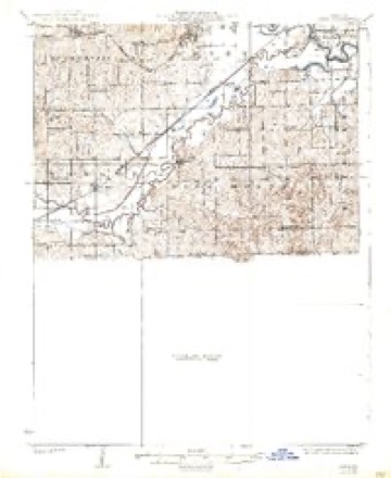
- 1924 USGS Dawn quadrangle1:62500, 4 printings
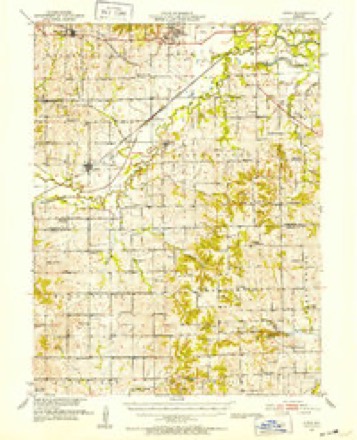
- 1951 USGS Utica quadrangle1:62500
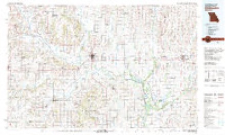
- 1953 USGS Moberly quadrangle1:250000
- 1954 USGS Moberly quadrangle1:250000, 3 printings
- 1957 USGS Moberly quadrangle1:250000
- 1960 USGS Moberly quadrangle1:250000
- 1981 USGS Chillicothe quadrangle1:100000
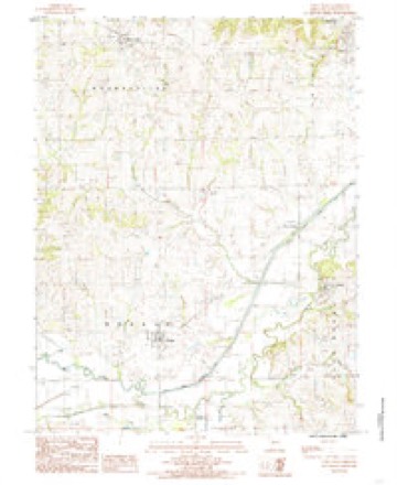
- 1984 USGS Utica West quadrangle1:24000




In the county-history sources
475 words on this townshipPast and Present of Livingston County, Missouri : a Record of Settlement, Organization, Progress and Achievement, published 1913 names this settlement in its chapter on Blue Mound Township. These are the passages that mention it, exactly as the scans read.
Congressional township 56-24, south of Shoal creek and an irregular tract of land of some six hundred acres, lying in the angle between Shoal creek and Clear creek, constitutes what is familiarly called Mound township. The greater por- tion of this township is the finest and most productive agricultural land in the county, while the Shoal creek bottoms afford luxuriant pasturage and thousands of tons of wild grass are cured and marketed annually. A majority of the residents of this township are Welsh or of Welsh descent. They are thrifty, prosperous people. In addition to Shoal creek, which forms part of the northern boundary of the township, Brush creek and Clear creek are the other principal streams. The first settlers located in this township in 1835, although the land was not subject to entry until the year following. Among those who made entries were William Mann, Nathan McCarthy, Alfred Reeves, Henry Walker, Jacob Stauffer, Josiah Whitney, B. F. Baker, Jesse Reeves, Joseph Knox, Orland H. Clififord, Elijah Preston and others. As referred to elsewhere William Mann was captain of a militia company and was engaged in the Mormon war at Haun's Mill and at other points in this section of Missouri. A very destructive storm visited this township on the night of June 20, 1883, in which four persons were killed, Edward D. James, Mrs. John Glick, and Jack Wilson and wife, while John Glick and child, a child of Jack Wilson, Wm. Barret, wife and three children, Mrs. J. B. Dusenberry, Jack and Susan Dusenberry, Wm. Pugh, John E. Hughes, wife and child, Wm. J. Hughes and wife, Mrs. Cunningham, Bert Snyder, Rev. Robert Evans, a son of Morris Davis, Mrs. Morgan Hughes and M. J. Williams of Utica were injured. Thirty-seven houses were wrecked and many partially destroyed; also one hundred and forty-one head of stock killed. The damage was estimated at about sixty-five thousand dollars. The town of Dawn in this township was laid out in 1853, although the location of Josiah Whitney's mill on the bank of Shoal creek was built in 1837 and as early as 1840 a small store was doing business there. The town was platted by Wm. Hixon.
Passage source: Past and Present of Livingston County, Missouri : a Record of Settlement, Organization, Progress and Achievement, published 1913.
is located two miles southeast of Dawn, and was organized March 8, 1881. The first members were: William Griffiths and wife, Joshua Williams, David D. Owens, Daniel J. Daves, Elizabeth Daves, Thomas J. Powell, Jane Powell, David P. Williams, Mrs. J. Williams, Thomas Griffiths, Isaac Jones, Samuel Jones, Mrs. Jones, J. D. Evans, Catherine Evans, David Hughes, Catherine Hughes and D. O. Hughes.
Passage source: Past and Present of Livingston County, Missouri : a Record of Settlement, Organization, Progress and Achievement, published 1913.
Machine-read from a century-old scan, so expect the errors a machine makes: misspelled names, dropped words, stray characters.
Fires near this place
13 since 1997Regional context, not property-specific evidence. The federal wildfire occurrence database lists 13 fires within 5 miles of Dawn between 1997 and 2020, burning about 428 acres in total. None started naturally. 1 was recorded as arson. Distance is straight-line from the map coordinates, so a fire counted here may appear on a neighbouring settlement's page as well.
| Reported cause | Fires |
|---|---|
| Missing data/not specified/undetermined | 5 |
| Debris and open burning | 5 |
| Smoking | 2 |
| Arson/incendiarism | 1 |
The most recent of them, most recent first, with the day each was reported and the service that recorded it.
| Date | Cause | Size | Reported by | Name on the report |
|---|---|---|---|---|
| 9 July 1997 | Debris and open burning | 30 acres | Missouri Department of Conservation | not named |
| 22 May 2002 | Debris and open burning | 1.0 acres | Missouri Department of Conservation | not named |
| 8 April 2020 | Debris and open burning | 32 acres | Missouri Department of Conservation | 190418-05974-04082020-1410 |
| 7 April 2002 | Smoking | 20 acres | Missouri Department of Conservation | not named |
| 19 April 1997 | Debris and open burning | 2.0 acres | Missouri Department of Conservation | not named |
| 11 April 2014 | Missing data/not specified/undetermined | 100 acres | Missouri Department of Conservation | not named |
| 10 April 2014 | Smoking | 20 acres | Missouri Department of Conservation | not named |
| 8 March 2020 | Missing data/not specified/undetermined | 7.8 acres | Missouri Department of Conservation | 190340-05974-03082020-2050 |
Settlements close enough to share some of these fires:
Mines and quarries near this place
6 within 5 milesRegional context, not property-specific evidence. The federal mineral resources record lists 6 workings within 5 miles of Dawn: 5 past producers, 1 producer. 1 still produces. What was taken out: Stone, Crushed/Broken, Sand and Gravel, Construction. Distance is straight-line from the map coordinates, so a quarry counted here may appear on a neighbouring settlement's page as well.
| Where | Site | Commodity | Status | Recorded |
|---|---|---|---|---|
| Unknown | Sand and Gravel, Construction | Past Producer | ||
| Blue Mound Quarry & Mill | Stone, Crushed/Broken | Producer | ||
| Unknown | Stone, Crushed/Broken | Past Producer | ||
| Unknown | Stone, Crushed/Broken | Past Producer | ||
| Unknown | Stone, Crushed/Broken | Past Producer | ||
| Unknown | Stone, Crushed/Broken | Past Producer |
Storms near this place
7 since 2005Regional context, not property-specific evidence. The National Weather Service names Dawn in 7 storm reports between 2005 and 2019: 5 hail, 1 thunderstorm wind, 1 flood. No death or injury is recorded in these reports. Each account below is quoted exactly as the forecast office filed it, from the NOAA Storm Events Database, and each date opens the federal record of that event.
| When | Event | Place named | Harm | What the report says |
|---|---|---|---|---|
| August 2010 | Thunderstorm Wind | Dawn | $100 | Thunderstorm wind gusts were estimated up to 60 mph, with roof shingles blown off a home. |
| May 2019 | Hail | Dawn | - | This stone measured and reported by the PSU field project. |
| April 2017 | Flood | Dawn | - | State Route C was closed due to flooding along Shoal Creek. |
| May 2019 | Hail | Dawn | - | no account filed |
| May 2007 | Hail | Dawn | - | no account filed |
| June 2005 | Hail | Dawn | - | no account filed |
| June 2005 | Hail | Dawn | - | no account filed |
Nearest settlements
The eight closest, with where each one stands in the county. Distances are straight-line, computed from the Geographic Names Information System coordinates.
| Map | Place | Distance | Sheets |
|---|---|---|---|
| Ludlow | 3.7 miles | 13 | |
| Blue Mound | 5.0 miles | 13 | |
| Utica | 5.2 miles | 13 | |
| Mooresville | 6.9 miles | 13 | |
| Cleary | 7.6 miles | 13 | |
| Cavendish | 7.8 miles | 15 | |
| Corner Campbell School | 8.5 miles | 15 | |
| Chillicothe | 9.8 miles | 12 |
Elsewhere
Matched on this settlement's Geographic Names Information System number rather than its name, so it cannot be a different place of the same name in another state.
| Wikipedia article on Dawn | An encyclopaedic summary. Its text is share-alike, so it is linked here rather than copied. |
| Wikidata item Q3459244 | The structured record the population and elevation above come from. Public domain (CC0). |
Provenance
This settlement is recorded in the Geographic Names Information System as feature 716744. The sheet list is computed by point-in-boundary test against the United States Geological Survey's historical topographic inventory. Both are works of the United States government and carry no copyright under 17 U.S.C. 105.
Wildfire. Short, Karen C. 2022. Spatial wildfire occurrence data for the United States, 1992-2020 [FPA_FOD_20221014]. 6th Edition. Fort Collins, CO: Forest Service Research Data Archive. https://doi.org/10.2737/RDS-2013-0009.6 Collected with United States Government funding and usable without additional permissions or fees.
Mines and quarries. USGS Mineral Resources Data System (MRDS) https://mrdata.usgs.gov/mrds/ A work of the United States government, no copyright under 17 U.S.C. 105.
Storms. NOAA National Centers for Environmental Information, Storm Events Database https://www.ncei.noaa.gov/stormevents/ A work of the United States government, no copyright under 17 U.S.C. 105. Narratives are quoted verbatim from the National Weather Service report and are not edited or summarised.