 Block
Eversonville, Missouri
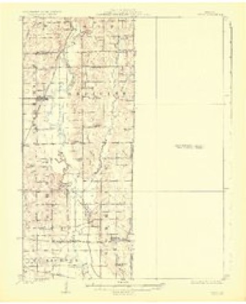
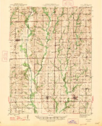
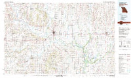
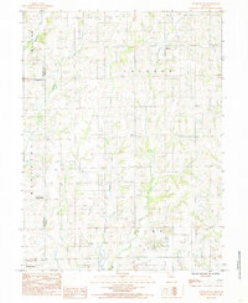
14 topographic sheets cover this place, the earliest surveyed in 1924 and the latest in 1984. It stands in Clay Township. It lies in ZIP code area 64688. The Survey maps it on the Eversonville quadrangle.
Topographic sheets covering this place
8 surveys from 14 printed sheetsMatched by testing this settlement's coordinate against the published boundary of every sheet in the United States Geological Survey's historical collection. Each opens the scanned sheet at the Survey.
- 1924 USGS Chula quadrangle1:62500, 3 printings
- 1947 USGS Chula quadrangle1:62500, 3 printings
- 1953 USGS Moberly quadrangle1:250000
- 1954 USGS Moberly quadrangle1:250000, 3 printings
- 1957 USGS Moberly quadrangle1:250000
- 1960 USGS Moberly quadrangle1:250000
- 1981 USGS Chillicothe quadrangle1:100000
- 1984 USGS Eversonville quadrangle1:24000




In the county-history sources
7,724 words on this townshipThe History of Linn County, Missouri. An Encyclopedia of Useful Information, published 1882 names this settlement in its chapter on Clay Township. These are the passages that mention it, exactly as the scans read.
It is bounded on the north by Jackson, on the east by Locust Creek, on the south by Parsons Creek township, and on the west by the Livingston county line. Its south line is within eight miles of the southern border of Linn county, and its north boundary seven and a half miles south ol" the south line of Sullivan count}-, and is in all respects a magnificent agricultural township, having but one small village within its* border, Eversonville, on the Livingston county line, part of plat of the village lying within that county. The principal population, however, is in Linn county, and Clay township. While Locust Creek lies on its eastern border, and numerous branches extend into the township, Parsons Creek and its main branch, West Parsons Creek, water the central, southern, and western portions of the township. It has every element to make it one of the finest grazing, stock-raising and cereal producing townships in Linn county, but take the township together it is doubtful if a better body of land, combining all the essentials necessary for successful farm life, can be found in north Missouri, or for that matter anywhere else.
Passage source: The History of Linn County, Missouri. An Encyclopedia of Useful Information, published 1882.
Eversonville, the only town or Tillage in Clay township is principally located on section twenty-seven, township fifty-nine, range twenty-two. Main Street, running east and west through the village, is the section line dividing section twenty-seven and twenty-two. A small portion of the resident part of the town lies in Livingston county, bnt the business and largest part of the town lies in Linn county. It is therefore divided both by a county line and a township line. The town was laid out on land owned by Joseph F. Hains and John Blodgett, and as there is no other village nearer than ten or twelve miles there is no reason to doubt the growth of Eversonville to become a respectable sized town. The country around is rich and the farmers in fair circumstances, fully able to sustain a population of at least one thousand, and it is somewhat strange that a town in that part of the countrj'^ was not laid out sooner.
Passage source: The History of Linn County, Missouri. An Encyclopedia of Useful Information, published 1882.
The first building erected was by Charles H. Everson, of Boston, who erected a large two story frame store and placed in it a full stock of general merchandise. This was in 1876, and the place was known asEverson's Store until 1878. This store was built on the Joseph Harris farm. The next building was put up by John Blodgett in 1877, and he rented it to A. H. Allen for a drug store. Then came a blacksmith shop, erected by Morris L. Shour, which began to make the place look like business. In 1878 they succeeded in having a post-office established, with Martin E. Stansberry as postmaster. Since then J. T. Harris and W. B. Brinkley have been postmasters; the latter died in February last. The next move was the erection of a hotel, and this was done by Mr, Larkin, who completed a very neat, and for the town, commodious structure, and christened it the St. Elmo. He keeps a good house. This was in 1879. Then a livery stable was put up, and another blacksmith shop was started, and all these people had houses to live in, so that Eversonville grew and prospered. The first physician who located was Dr. Trimble, and there was the law office of Long & Donovan. The "Four Corners," known as Everson's store, had grown large enough to be considered a village, and a very enterprising one at that, and it began to feel as though it ought to have a corporate existence. This was accomplished by presenting a petition to the County Court, whicli was granted and the town of Eversonville was incorporated November 7, 1881, and the first board of trustees as appointed by the County Court was as follows: J. F. Hains, J. H. Thorp, John Blodgett, W. B. Brinkley, and J. A. Hudson. Mr. Hudson was elected chairman of the board, and holds the position at tliis writine:. He is a thoroughgoing business man, and is proprietor of a custom mill and saw mill erected in 1879. The business interests of the town are represented by the following business houses, January 1, 1882:
Passage source: The History of Linn County, Missouri. An Encyclopedia of Useful Information, published 1882.
Machine-read from a century-old scan, so expect the errors a machine makes: misspelled names, dropped words, stray characters.
Read the whole chapter on Clay Township - it names this place 9 more 9 times.
Fires near this place
6 since 1992Regional context, not property-specific evidence. The federal wildfire occurrence database lists 6 fires within 5 miles of Eversonville between 1992 and 2015, burning about 159 acres in total. None started naturally. None was recorded as arson. Distance is straight-line from the map coordinates, so a fire counted here may appear on a neighbouring settlement's page as well.
| Reported cause | Fires |
|---|---|
| Missing data/not specified/undetermined | 4 |
| Debris and open burning | 1 |
| Equipment and vehicle use | 1 |
The most recent of them, most recent first, with the day each was reported and the service that recorded it.
| Date | Cause | Size | Reported by | Name on the report |
|---|---|---|---|---|
| 8 April 2013 | Missing data/not specified/undetermined | 5.0 acres | Missouri Department of Conservation | not named |
| 5 April 2015 | Equipment and vehicle use | 8.0 acres | Missouri Department of Conservation | 121730-05836-04052015-1357 |
| 2 April 1992 | Debris and open burning | 1.0 acres | Missouri Department of Conservation | not named |
| 15 March 2014 | Missing data/not specified/undetermined | 125 acres | Missouri Department of Conservation | not named |
| 11 March 2015 | Missing data/not specified/undetermined | 15 acres | Missouri Department of Conservation | 120213-05836-03112015-1616 |
| 25 January 2014 | Missing data/not specified/undetermined | 5.0 acres | Missouri Department of Conservation | not named |
Settlements close enough to share some of these fires:
Nearest settlements
The eight closest, with where each one stands in the county. Distances are straight-line, computed from the Geographic Names Information System coordinates.
Provenance
This settlement is recorded in the Geographic Names Information System as feature 735606. The sheet list is computed by point-in-boundary test against the United States Geological Survey's historical topographic inventory. Both are works of the United States government and carry no copyright under 17 U.S.C. 105.
Wildfire. Short, Karen C. 2022. Spatial wildfire occurrence data for the United States, 1992-2020 [FPA_FOD_20221014]. 6th Edition. Fort Collins, CO: Forest Service Research Data Archive. https://doi.org/10.2737/RDS-2013-0009.6 Collected with United States Government funding and usable without additional permissions or fees.