 Block
Purdin, Missouri
11 topographic sheets cover this place, the earliest surveyed in 1946 and the latest in 1984. It stands in Benton Township. It lies in ZIP code area 64674. The Survey maps it on the Linneus quadrangle. 141 people lived here at the 2020 count. It stands 886 feet above sea level.
Population over time
2 figuresPurdin fell from 190 to 141 between 2010 and 2020. These are the recorded population figures Wikidata holds for this place, reached through the Geographic Names Information System number this page is keyed on rather than by name, so they belong to this place and not to another of the same name. Most are census counts, but not all are: an early figure may be a founding or settlement estimate, and an estimate published within five years of a census is left out. The change column is computed, and is left blank where more than 20 years separate a figure from the one before it, because a gap that long is not a change between two counts.
| Year | People | Change |
|---|---|---|
| 2010 | 190 | |
| 2020 | 141 | -49 (-26%) |
Topographic sheets covering this place
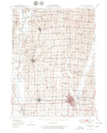
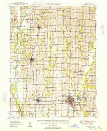
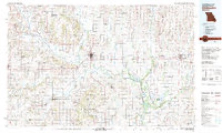
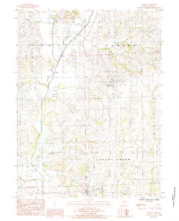
8 surveys from 11 printed sheetsMatched by testing this settlement's coordinate against the published boundary of every sheet in the United States Geological Survey's historical collection. Each opens the scanned sheet at the Survey.
- 1946 USGS Brookfield quadrangle1:62500
- 1948 USGS Brookfield quadrangle1:62500, 2 printings
- 1953 USGS Moberly quadrangle1:250000
- 1954 USGS Moberly quadrangle1:250000, 3 printings
- 1957 USGS Moberly quadrangle1:250000
- 1960 USGS Moberly quadrangle1:250000
- 1981 USGS Chillicothe quadrangle1:100000
- 1984 USGS Linneus quadrangle1:24000




What happened here
An account from the chapter on Benton township. The inset identifies its exact source book and publication year.
William F. Gibson
was born in South Carolina, June 7, 1810. His parents were Thomas N. and Knth Gibson, who moved out to Tennessee at an early day. On the way ont, AVilliam F,, then a small boy, knocked a tomahawk out of a "kid" Indian's hand and brained him with it. It seems, however, that they arrived safe in Tennessee.
In the county-history sources
19,484 words on this townshipThe History of Linn County, Missouri. An Encyclopedia of Useful Information, published 1882 names this settlement in its chapter on Benton Township. These are the passages that mention it, exactly as the scans read.
Brown's school-house, or Hickory College, a name given it by the Rev. H. P. Thorp, stands on the northwest quarter of section seven, township fifty-nine, range twenty. P. Pound, William Purdin and James Moftett, trustees. Its first teacher was the Rev. Thorp, mentioned above, and the building was erected in 1870; but many years before, a school was kept in that district.
Passage source: The History of Linn County, Missouri. An Encyclopedia of Useful Information, published 1882.
Purdin is a small station on the Chicago, Burlington & Kansas City Railroad, located about five miles north of Linneus, the county seat. It was first surveyed by C. G. Briggs, county surveyor, in 1873, and it was laid out on land owned by Peter and Elizabeth Bond, and Charles and Ly- dia Piirdin, these lands being on sections seven and eight, township fiftynine, range twent3^ The hope of making a town then seemed somewhat blasted. For eight years it remained the same, and to this day it is not large enough to excite the jealousy of either Linneus or Browning. Fnrdin station was laid out in 1878, and surveyed in 1881. It is a railroad depot, and of considerable convenience to the farmers living near, and as such was established in 1881, in the month of October. There are now sixty-two and one-half acres laid out for a town, fifty acres of which are owned by the White Breast Coal and Mining Company. They are anxious to make a town, and offer liberal inducements.
Passage source: The History of Linn County, Missouri. An Encyclopedia of Useful Information, published 1882.
The shipments from this point are not heavy, but since October, 1881, some five months, one car load of hogs, four of cattle, and nine of wood-stufi have been shipped. This is not bad when it is considered that Purdin has not yet been recognized as a town. J. M. Renfro & Bro. are in the hoop-pole business, Frederick Libber is railroad agent, John T. Toung is agent for the mining company, and a Mr. Ready has started a saw mill. This closes the history of Benton township and her capital cities.
Passage source: The History of Linn County, Missouri. An Encyclopedia of Useful Information, published 1882.
Machine-read from a century-old scan, so expect the errors a machine makes: misspelled names, dropped words, stray characters.
Read the whole chapter on Benton Township - it names this place 1 more 1 time.
Fires near this place
1 since 1992Regional context, not property-specific evidence. The federal wildfire occurrence database lists 1 fire within 5 miles of Purdin in 1992, burning about 150 acres in total. None started naturally. None was recorded as arson. Distance is straight-line from the map coordinates, so a fire counted here may appear on a neighbouring settlement's page as well.
| Reported cause | Fires |
|---|---|
| Debris and open burning | 1 |
The most recent of them, most recent first, with the day each was reported and the service that recorded it.
| Date | Cause | Size | Reported by | Name on the report |
|---|---|---|---|---|
| 7 February 1992 | Debris and open burning | 150 acres | Missouri Department of Conservation | not named |
Settlements close enough to share some of these fires:
Mines and quarries near this place
10 within 5 milesRegional context, not property-specific evidence. The federal mineral resources record lists 10 workings within 5 miles of Purdin: 9 past producers, 1 producer. 1 still produces. What was taken out: Stone, Crushed/Broken. Distance is straight-line from the map coordinates, so a quarry counted here may appear on a neighbouring settlement's page as well.
| Where | Site | Commodity | Status | Recorded |
|---|---|---|---|---|
| Anderson Quarry | Stone, Crushed/Broken | Past Producer | ||
| Ben Parry Quarry | Stone, Crushed/Broken | Past Producer | ||
| Marshall Jct Qy I-70 Qy | Stone, Crushed/Broken | Producer | ||
| Unknown | Stone, Crushed/Broken | Past Producer | ||
| Unknown | Stone, Crushed/Broken | Past Producer | ||
| Unknown | Stone, Crushed/Broken | Past Producer | ||
| Unknown | Stone, Crushed/Broken | Past Producer | ||
| Unknown | Stone, Crushed/Broken | Past Producer | ||
| Unknown | Stone, Crushed/Broken | Past Producer | ||
| Unknown | Stone, Crushed/Broken | Past Producer |
Storms near this place
17 since 1996Regional context, not property-specific evidence. The National Weather Service names Purdin in 17 storm reports between 1996 and 2024: 10 hail, 4 flash flood, 3 thunderstorm wind. No death or injury is recorded in these reports. Each account below is quoted exactly as the forecast office filed it, from the NOAA Storm Events Database, and each date opens the federal record of that event.
| When | Event | Place named | Harm | What the report says |
|---|---|---|---|---|
| March 2024 | Hail | Purdin | - | Quarter sized hail just southeast of Browning in far northern Linn County. |
| August 2023 | Thunderstorm Wind | Purdin | - | Wind driven hail damaged siding and large tree limbed were downed. |
| August 2023 | Hail | Purdin | - | Ping pong ball hail was reported west of Purdin. |
| June 2015 | Flash Flood | Purdin | - | Flooding was reported along Route C, east of Purdin. |
| May 2014 | Hail | Purdin | - | Golf ball sized hail broke windows near Browning. |
| June 2008 | Flash Flood | Purdin | - | Significant water was flowing across Highway 5, 2 miles south of Purdin. |
| March 2005 | Thunderstorm Wind | Purdin | - | Six to ten inch tree limbs down. |
| May 2005 | Flash Flood | Purdin | - | Heavy rains caused Route C to close due to high water flowing over the road. |
| May 1997 | Hail | Purdin | - | The public reported nickel-size hail in Northwest Linn County along Route MM about 15 miles northwest of Purdin. |
| June 2011 | Hail | Purdin | - | no account filed |
| June 2010 | Hail | Purdin | - | no account filed |
| July 2007 | Thunderstorm Wind | Purdin | - | no account filed |
| June 2004 | Hail | Purdin | - | no account filed |
| May 2003 | Hail | Purdin | - | no account filed |
| April 2002 | Hail | Purdin | - | no account filed |
| August 2002 | Hail | Purdin | - | no account filed |
| May 1996 | Flash Flood | Purdin | - | no account filed |
Nearest settlements
The eight closest, with where each one stands in the county. Distances are straight-line, computed from the Geographic Names Information System coordinates.
| Map | Place | Distance | Sheets |
|---|---|---|---|
| Grantsville | 2.8 miles | 11 | |
| Linneus | 5.2 miles | 11 | |
| Leverton | 5.7 miles | 11 | |
| Browning | 5.8 miles | 7 | |
| Enterprise | 6.6 miles | 7 | |
| Shafter | 6.7 miles | 14 | |
| Bear Branch | 7.0 miles | 11 | |
| Hecla | 7.4 miles | 14 |
Elsewhere
Matched on this settlement's Geographic Names Information System number rather than its name, so it cannot be a different place of the same name in another state.
| Wikipedia article on Purdin | An encyclopaedic summary. Its text is share-alike, so it is linked here rather than copied. |
| Wikidata item Q675183 | The structured record the population and elevation above come from. Public domain (CC0). |
Provenance
This settlement is recorded in the Geographic Names Information System as feature 735812. The sheet list is computed by point-in-boundary test against the United States Geological Survey's historical topographic inventory. Both are works of the United States government and carry no copyright under 17 U.S.C. 105.
Wildfire. Short, Karen C. 2022. Spatial wildfire occurrence data for the United States, 1992-2020 [FPA_FOD_20221014]. 6th Edition. Fort Collins, CO: Forest Service Research Data Archive. https://doi.org/10.2737/RDS-2013-0009.6 Collected with United States Government funding and usable without additional permissions or fees.
Mines and quarries. USGS Mineral Resources Data System (MRDS) https://mrdata.usgs.gov/mrds/ A work of the United States government, no copyright under 17 U.S.C. 105.
Storms. NOAA National Centers for Environmental Information, Storm Events Database https://www.ncei.noaa.gov/stormevents/ A work of the United States government, no copyright under 17 U.S.C. 105. Narratives are quoted verbatim from the National Weather Service report and are not edited or summarised.