 Block
Fayetteville, Missouri
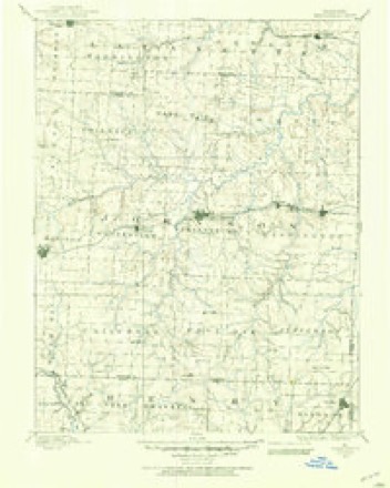
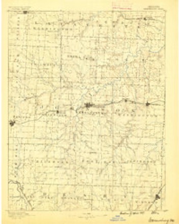
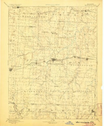
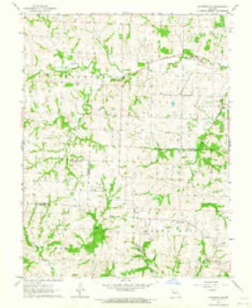
19 topographic sheets cover this place, the earliest surveyed in 1885 and the latest in 1983. It stands in Hazel Hill Township. It lies in ZIP code area 64093. The Survey maps it on the Fayetteville quadrangle.
Topographic sheets covering this place
10 surveys from 19 printed sheetsMatched by testing this settlement's coordinate against the published boundary of every sheet in the United States Geological Survey's historical collection. Each opens the scanned sheet at the Survey.
- 1885 USGS Warrensburg quadrangle1:125000
- 1887 USGS Warrensburg quadrangle1:125000
- 1894 USGS Warrensburg quadrangle1:125000, 5 printings
- 1947 USGS Jefferson City quadrangle1:250000
- 1954 USGS Jefferson City quadrangle1:250000, 2 printings
- 1955 USGS Jefferson City quadrangle1:250000, 4 printings
- 1958 USGS Jefferson City quadrangle1:250000
- 1959 USGS Jefferson City quadrangle1:250000
- 1963 USGS Fayetteville quadrangle1:24000, 2 printings
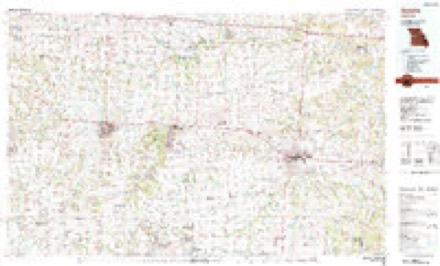
- 1983 USGS Sedalia quadrangle1:100000





In the county-history sources
1,945 words on this townshipThe History of Johnson County, Missouri : Including a Reliable History of the Townships, Cities, and Towns, Together with a Map of the County; a Condensed History of Missouri; the State Constitution; an Abstract of the Most Important Laws; the Physical Features of the County; the Early Settlers and Pioneers; the Political and War History; the Religious and Educational History...statistics and Miscellaneous Matters, Etc., Etc, published 1881 names this settlement in its chapter on Hazel Hill Township. These are the passages that mention it, exactly as the scans read.
Hazel Hill township, P. O. Fayetteville, was born in Washington town¬ ship, of this county, December 29, 1850. Son of Jacob M. and Ann O. Mock. When the subject of this sketch was a very small child, his parents removed to North Carolina, where they resided till 1856, then removed to Pettis county, Missouri, and, in 1859, to Knobnoster, Johnson county. Dr. Mock commenced the study of medicine with Dr. L. H. Wil¬ liams, of Pettis county, in April, 1872, and graduated from the St. Louis Medical College in 1874. He then went to Freedom township, Lafayette county, where he practiced medicine two years. In 1876 he came to Fay¬ etteville, where he has since pursued his profession. He was married, April 30, 1874, to Miss Ella Bigley. They have one child, Annie Myrtle. Dr. Mock has the esteem and confidence of his neighbors, and proves him¬ self one of Johnson county's best physicians.
farmer and stock raiser, P. O. Fayetteville. Was born in Jefferson county, Ky., April 7, 1840, and received his early education at the com¬ mon schools. He was married to Miss Emma J. Dyer, daughter of M. Dyer, Esq., Nov. 14, 1858. Their family consists of Mary A., Virginia F., Lizzie, Nora, Martha A., Miles E., John W., George F., Berry H. and Maud M. In 1876, Mr. C. was elected township collector, which position he held with credit. The farm where he resides contains 205 acres, all of which is under cultivation. He also owns 200 acres in differ¬ ent parts of the county. Mr. and Mrs. C. are both faithful members of the Christian church. Mr. Cleaveland is a successful farmer, and a highly respected citizen.
farmer and stock raiser, section 36, P. O. Fayetteville, Johnson county, Mo. Was born in Warren county, Ky., near Bowling Green, on the 20th day of August, 1837. At the age of seven he removed with his parents to Lafayette countv, Mo., where he remained with his paients until the age of 23. His education was confined to the common schools of the county. His parents, who were natives of Kentucky, were honest, frugal and industrious, instilling the same spirit into their children, which was of great utility to them in after life. While living in Kentucky, the elder
Machine-read from a century-old scan, so expect the errors a machine makes: misspelled names, dropped words, stray characters.
Read the whole chapter on Hazel Hill Township - it names this place 1 more 1 time.
Fires near this place
43 since 2003Regional context, not property-specific evidence. The federal wildfire occurrence database lists 43 fires within 5 miles of Fayetteville between 2003 and 2020, burning about 204 acres in total. 2 started naturally. 1 was recorded as arson. Distance is straight-line from the map coordinates, so a fire counted here may appear on a neighbouring settlement's page as well.
| Reported cause | Fires |
|---|---|
| Debris and open burning | 18 |
| Missing data/not specified/undetermined | 13 |
| Equipment and vehicle use | 4 |
| Recreation and ceremony | 4 |
| Natural | 2 |
| Arson/incendiarism | 1 |
| Smoking | 1 |
The most recent of them, most recent first, with the day each was reported and the service that recorded it.
| Date | Cause | Size | Reported by | Name on the report |
|---|---|---|---|---|
| 6 August 2003 | Debris and open burning | 3.0 acres | Missouri State Fire Marshal's Office | not named |
| 24 August 2003 | Missing data/not specified/undetermined | 5.0 acres | Missouri State Fire Marshal's Office | not named |
| 22 August 2003 | Missing data/not specified/undetermined | under an acre | Missouri State Fire Marshal's Office | not named |
| 22 August 2003 | Equipment and vehicle use | under an acre | Missouri State Fire Marshal's Office | not named |
| 18 August 2003 | Natural | under an acre | Missouri State Fire Marshal's Office | not named |
| 18 August 2003 | Debris and open burning | under an acre | Missouri State Fire Marshal's Office | not named |
| 18 August 2003 | Natural | under an acre | Missouri State Fire Marshal's Office | not named |
| 17 August 2003 | Debris and open burning | 10 acres | Missouri State Fire Marshal's Office | not named |
Settlements close enough to share some of these fires:
Mines and quarries near this place
8 within 5 milesRegional context, not property-specific evidence. The federal mineral resources record lists 8 workings within 5 miles of Fayetteville: 8 past producers. None of them still produces. What was taken out: Stone, Crushed/Broken. Distance is straight-line from the map coordinates, so a quarry counted here may appear on a neighbouring settlement's page as well.
| Where | Site | Commodity | Status | Recorded |
|---|---|---|---|---|
| Fayetteville Quarry | Stone, Crushed/Broken | Past Producer | ||
| Porter Quarry | Stone, Crushed/Broken | Past Producer | ||
| Unknown - Ls | Stone, Crushed/Broken | Past Producer | ||
| Unknown - Ls. | Stone, Crushed/Broken | Past Producer | ||
| Unknown - Ls. | Stone, Crushed/Broken | Past Producer | ||
| Unknown - Ls. | Stone, Crushed/Broken | Past Producer | ||
| Unknown - Ls. | Stone, Crushed/Broken | Past Producer | ||
| Unknown - Ls. | Stone, Crushed/Broken | Past Producer |
Storms near this place
16 since 1995Regional context, not property-specific evidence. The National Weather Service names Fayetteville in 16 storm reports between 1995 and 2025: 7 hail, 6 thunderstorm wind, 3 flash flood. No death or injury is recorded in these reports. Each account below is quoted exactly as the forecast office filed it, from the NOAA Storm Events Database, and each date opens the federal record of that event.
| When | Event | Place named | Harm | What the report says |
|---|---|---|---|---|
| April 2000 | Thunderstorm Wind | Fayetteville | $5,000 | The sheriff's office reported utility poles down along State Highway 13 near Fayetteville. |
| August 1997 | Thunderstorm Wind | Fayetteville | $5,000 | Large trees were reported down along route 13 about 6 miles west of Fayetteville by the Johnson County sheriff's office. |
| June 1995 | Thunderstorm Wind | Fayetteville | $1,000 | Severe thunderstorms moved through the area producing damaging winds. Trees were downed along Route H east of Fayetteville, and some large limbs were knocked down in Warrensburg. Some of these limbs landed on a mobile home, causing minor damage. |
| September 2025 | Thunderstorm Wind | Fayetteville | - | Several reports of tree limb and powerline damage near and south of Fayetteville. |
| May 2017 | Thunderstorm Wind | Fayetteville | - | An 8 inch tree was down near State HWY OO and Business Route 13. |
| August 2017 | Flash Flood | Fayetteville | - | EMA reports fire and PD responding to water rescues with water over the road at the 700 block of SE HWY 13. |
| August 2016 | Thunderstorm Wind | Fayetteville | - | A deputy reported a tree of unknown size or condition over highway 13 near Fayetteville. Other reports of 60-plus mph lend credibility that the wind gust was over 60 mph. |
| June 2015 | Flash Flood | Fayetteville | - | NW 700 Road and Highway 13 near Fayetteville was flooded. |
| June 2015 | Flash Flood | Fayetteville | - | NW Highway H and Highway 13 near Fayetteville was closed due to flooding. |
| July 2018 | Hail | Fayetteville | - | no account filed |
| August 2017 | Hail | Fayetteville | - | no account filed |
| March 2009 | Hail | Fayetteville | - | no account filed |
| June 2006 | Hail | Fayetteville | - | no account filed |
| April 2003 | Hail | Fayetteville | - | no account filed |
| May 2003 | Hail | Fayetteville | - | no account filed |
| April 2001 | Hail | Fayetteville | - | no account filed |
Nearest settlements
The eight closest, with where each one stands in the county. Distances are straight-line, computed from the Geographic Names Information System coordinates.
| Map | Place | Distance | Sheets |
|---|---|---|---|
| Hoffman | 3.0 miles | 19 | |
| Robbins | 3.2 miles | 19 | |
| Mount Olive | 3.5 miles | 22 | |
| Greendoor | 5.6 miles | 19 | |
| Blackwater (historical) | 6.3 miles | 22 | |
| Columbus | 7.3 miles | 19 | |
| Valley City | 7.7 miles | 23 | |
| Warrensburg | 8.2 miles | 22 |
Elsewhere
Matched on this settlement's Geographic Names Information System number rather than its name, so it cannot be a different place of the same name in another state.
| Wikipedia article on Fayetteville | An encyclopaedic summary. Its text is share-alike, so it is linked here rather than copied. |
| Wikidata item Q27985549 | The structured record the population and elevation above come from. Public domain (CC0). |
Provenance
This settlement is recorded in the Geographic Names Information System as feature 729737. The sheet list is computed by point-in-boundary test against the United States Geological Survey's historical topographic inventory. Both are works of the United States government and carry no copyright under 17 U.S.C. 105.
Wildfire. Short, Karen C. 2022. Spatial wildfire occurrence data for the United States, 1992-2020 [FPA_FOD_20221014]. 6th Edition. Fort Collins, CO: Forest Service Research Data Archive. https://doi.org/10.2737/RDS-2013-0009.6 Collected with United States Government funding and usable without additional permissions or fees.
Mines and quarries. USGS Mineral Resources Data System (MRDS) https://mrdata.usgs.gov/mrds/ A work of the United States government, no copyright under 17 U.S.C. 105.
Storms. NOAA National Centers for Environmental Information, Storm Events Database https://www.ncei.noaa.gov/stormevents/ A work of the United States government, no copyright under 17 U.S.C. 105. Narratives are quoted verbatim from the National Weather Service report and are not edited or summarised.