 Block
Fernridge, Missouri
22 topographic sheets cover this place, the earliest surveyed in 1933 and the latest in 1985. It stands in Creve Coeur Township. It lies in ZIP code area 63141. It stands on Fernridge Creek. The Survey maps it on the Creve Coeur quadrangle.
Topographic sheets covering this place
9 surveys from 22 printed sheetsMatched by testing this settlement's coordinate against the published boundary of every sheet in the United States Geological Survey's historical collection. Each opens the scanned sheet at the Survey.
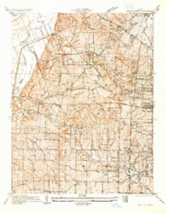
- 1933 USGS Creve Coeur quadrangle1:24000
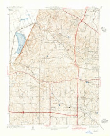
- 1940 USGS Creve Coeur quadrangle1:24000, 3 printings
- 1949 USGS Saint Louis quadrangle1:250000
- 1949 USGS St. Louis quadrangle1:250000
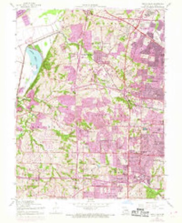
- 1954 USGS Creve Coeur quadrangle1:24000, 7 printings
- 1962 USGS St. Louis quadrangle1:250000
- 1963 USGS St. Louis quadrangle1:250000, 4 printings
- 1966 USGS St. Louis quadrangle1:250000
- 1985 USGS St Louis quadrangle1:100000, 3 printings






Mines and quarries near this place
10 of 18 shownRegional context, not property-specific evidence. The federal mineral resources record lists 18 workings within 5 miles of Fernridge: 17 past producers, 1 producer. 1 still produces. What was taken out: Stone, Crushed/Broken, Clay. Distance is straight-line from the map coordinates, so a quarry counted here may appear on a neighbouring settlement's page as well.
| Where | Site | Commodity | Status | Recorded |
|---|---|---|---|---|
| Alton Brick Co Pit & Plant | Clay | Producer | ||
| Unknown - Clay | Clay | Past Producer | ||
| Creve Coeur Quarry | Stone, Crushed/Broken | Past Producer | ||
| Crystal Springs Quarry | Stone, Crushed/Broken | Past Producer | ||
| Fern Ridge Quarry | Stone, Crushed/Broken | Past Producer | ||
| Thompson and Gray Company Quarry | Stone, Crushed/Broken | Past Producer | ||
| Unk | Stone, Crushed/Broken | Past Producer | ||
| Unknown - Ls | Stone, Crushed/Broken | Past Producer | ||
| Unknown - Ls | Stone, Crushed/Broken | Past Producer | ||
| Unknown - Ls | Stone, Crushed/Broken | Past Producer |
Storms near this place
8 since 2012Regional context, not property-specific evidence. The National Weather Service names Fernridge in 8 storm reports between 2012 and 2026: 6 thunderstorm wind, 1 hail, 1 tornado. No death or injury is recorded in these reports. Each account below is quoted exactly as the forecast office filed it, from the NOAA Storm Events Database, and each date opens the federal record of that event.
| When | Event | Place named | Harm | What the report says |
|---|---|---|---|---|
| May 2022 | Tornado (EF0) | Fernridge | $50,000 | A brief tornado with estimated maximum wind speeds of 80 mph impacted portions of central St. Louis County. The tornado developed around 5:06 p.m. 1.7 miles NW of the center of Creve Coeur, near the intersection of Kram Road and Olive Boulevard. The tornado ran nearly parallel to Timber Run Drive before turning northwest at Markaire Drive and impacted areas just southwest of North High School. The tornado crossed Fee Fee Road as it moved northwest and lifted over Seven Pines Drive at approximately 5:07 p.m. Several trees were damaged, power poles were snapped and a few homes were damaged due to falling limbs. Overall, the tornado was rated EF0 with a path length of 0.79 miles and a max path width of 50 yards. No deaths or injuries were reported. |
| December 2021 | Thunderstorm Wind | Fernridge | $20,000 | Thunderstorm winds blew a large tree down onto an apartment building causing moderate damage. |
| April 2026 | Thunderstorm Wind | Fernridge | - | Thunderstorm winds uprooted multiple trees in Creve Coeur. |
| June 2023 | Thunderstorm Wind | Fernridge | - | Thunderstorm winds blew down numerous trees, tree limbs and power lines in Creve Coeur, Olivette, Frontenac and Ladue areas. Some of the fallen trees and tree limbs blocked a few roads. |
| April 2018 | Thunderstorm Wind | Fernridge | - | Thunderstorm winds blew down several large tree limbs. |
| November 2017 | Hail | Fernridge | - | A wide swath of large hail fell across the St. Louis metro area. Hail between one and two inches in diameter was reported in Maryland Heights, Creve Coeur, Olivette, St. Ann, Clayton, St. John, Woodson Terrace, Normandy, Ferguson, Pasadena Hills and University City areas. There were numerous reports of vehicles damaged by the hail, including numerous automobile dealerships. |
| May 2013 | Thunderstorm Wind | Fernridge | - | Thunderstorm winds blew down numerous large tree limbs. |
| October 2012 | Thunderstorm Wind | Fernridge | - | Several trees blown down near the intersection of Fee Fee Road and Olive Boulevard. |
Nearest settlements
The eight closest, with where each one stands in the county. Distances are straight-line, computed from the Geographic Names Information System coordinates.
| Map | Place | Distance | Sheets |
|---|---|---|---|
| Benbush | 1.2 miles | 22 | |
| Lake | 2.3 miles | 26 | |
| Hine | 2.4 miles | 26 | |
| Creve Coeur | 3.2 miles | 22 | |
| Westwood | 3.3 miles | 22 | |
| Maryland Heights | 3.4 miles | 22 | |
| Altheim | 3.5 miles | 22 | |
| Vigus | 3.8 miles | 22 |
Provenance
This settlement is recorded in the Geographic Names Information System as feature 756048. The sheet list is computed by point-in-boundary test against the United States Geological Survey's historical topographic inventory. Both are works of the United States government and carry no copyright under 17 U.S.C. 105.
Mines and quarries. USGS Mineral Resources Data System (MRDS) https://mrdata.usgs.gov/mrds/ A work of the United States government, no copyright under 17 U.S.C. 105.
Storms. NOAA National Centers for Environmental Information, Storm Events Database https://www.ncei.noaa.gov/stormevents/ A work of the United States government, no copyright under 17 U.S.C. 105. Narratives are quoted verbatim from the National Weather Service report and are not edited or summarised.