 Block
Gaynor, Missouri
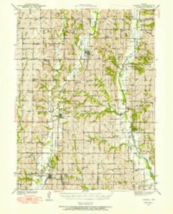
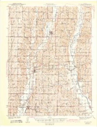
11 topographic sheets cover this place, the earliest surveyed in 1940 and the latest in 1986. It stands in Independence Township. It lies in ZIP code area 64461. The Survey maps it on the Parnell West quadrangle.
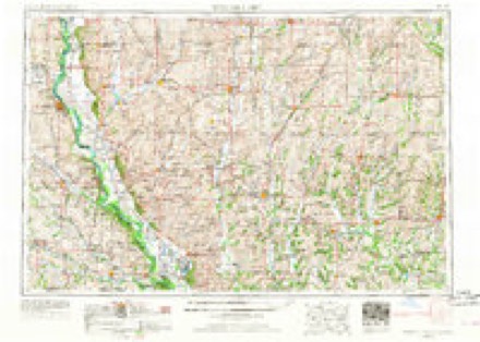
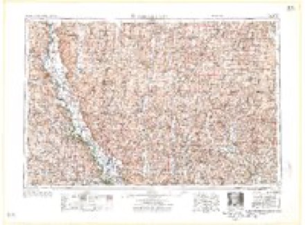
Topographic sheets covering this place
7 surveys from 11 printed sheetsMatched by testing this settlement's coordinate against the published boundary of every sheet in the United States Geological Survey's historical collection. Each opens the scanned sheet at the Survey.
- 1940 USGS Parnell quadrangle1:62500
- 1943 USGS Parnell quadrangle1:62500, 2 printings
- 1955 USGS Nebraska City quadrangle1:250000, 3 printings
- 1957 USGS Nebraska City quadrangle1:250000
- 1958 USGS Nebraska City quadrangle1:250000
- 1985 USGS Parnell West quadrangle1:24000
- 1986 USGS Maryville quadrangle1:100000, 2 printings
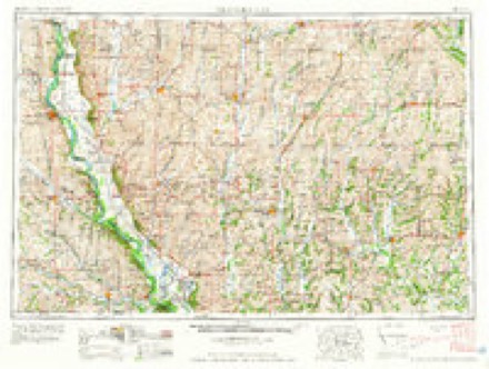
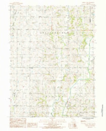
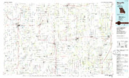
In the county-history sources
4,780 words on this townshipThe History of Nodaway County, Missouri, Containing a History of the County, Its Cities, Towns, Etc., Biographical Sketches of Its Citizens, published 1882 names this settlement in its chapter on Independence Township. These are the passages that mention it, exactly as the scans read.
About 1876, Edward Gaynor built a blacksmith shop very near the section corners. Afterward Wilson McLain put up a store, and opened a general stock of merchandise. More recently he has erected a new store on the opposite side of the street. The village contains about twenty-five inhabitants. There is a school house half a mile west of town. The first voting precinct of Independence Township was at Horn's school house ; afterward it was changed to Redick's school house,, and now it is at Gaylor City.
Passage source: The History of Nodaway County, Missouri, Containing a History of the County, Its Cities, Towns, Etc., Biographical Sketches of Its Citizens, published 1882.
Machine-read from a century-old scan, so expect the errors a machine makes: misspelled names, dropped words, stray characters.
Read the whole chapter on Independence Township - it names this place 1 more 1 time.
Mines and quarries near this place
1 within 5 milesRegional context, not property-specific evidence. The federal mineral resources record lists 1 working within 5 miles of Gaynor: 1 past producer. None of them still produces. What was taken out: Sand and Gravel, Construction. Distance is straight-line from the map coordinates, so a quarry counted here may appear on a neighbouring settlement's page as well.
| Where | Site | Commodity | Status | Recorded |
|---|---|---|---|---|
| Unk | Sand and Gravel, Construction | Past Producer |
Storms near this place
3 since 2007Regional context, not property-specific evidence. The National Weather Service names Gaynor in 3 storm reports between 2007 and 2024: 2 thunderstorm wind, 1 flood. No death or injury is recorded in these reports. Each account below is quoted exactly as the forecast office filed it, from the NOAA Storm Events Database, and each date opens the federal record of that event.
| When | Event | Place named | Harm | What the report says |
|---|---|---|---|---|
| November 2015 | Thunderstorm Wind | Gaynor | $2,000 | A pole barn was moved approximately 10 feet and the roof was blown off. |
| June 2024 | Thunderstorm Wind | Gaynor | - | Downed power lines and power outages reported near the unincorporated community of Allison. |
| May 2007 | Flood | Gaynor | - | The 102 River near Maryville crested at 26.98 feet, or 8.98 feet above flood stage. This was its highest crest ever and occurred on May 8, 2007. Agricultural damage in the adjacent bottom lands. |
Nearest settlements
The eight closest, with where each one stands in the county. Distances are straight-line, computed from the Geographic Names Information System coordinates.
Provenance
This settlement is recorded in the Geographic Names Information System as feature 740868. The sheet list is computed by point-in-boundary test against the United States Geological Survey's historical topographic inventory. Both are works of the United States government and carry no copyright under 17 U.S.C. 105.
Mines and quarries. USGS Mineral Resources Data System (MRDS) https://mrdata.usgs.gov/mrds/ A work of the United States government, no copyright under 17 U.S.C. 105.
Storms. NOAA National Centers for Environmental Information, Storm Events Database https://www.ncei.noaa.gov/stormevents/ A work of the United States government, no copyright under 17 U.S.C. 105. Narratives are quoted verbatim from the National Weather Service report and are not edited or summarised.