 Block
Grassy, Missouri
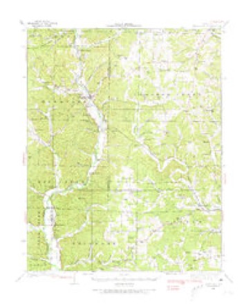
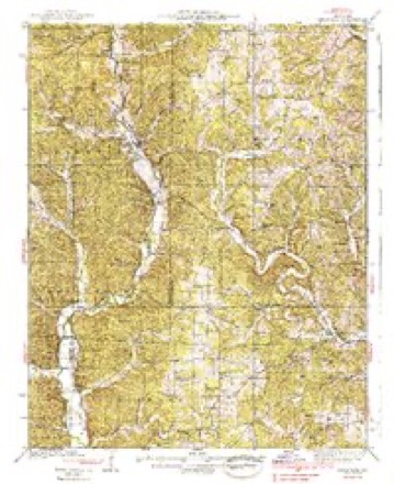
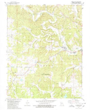
18 topographic sheets cover this place, the earliest surveyed in 1933 and the latest in 1989. It stands in Filmore Township. It lies in ZIP code area 63751. The Survey maps it on the Glenallen quadrangle.
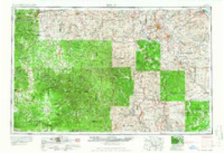
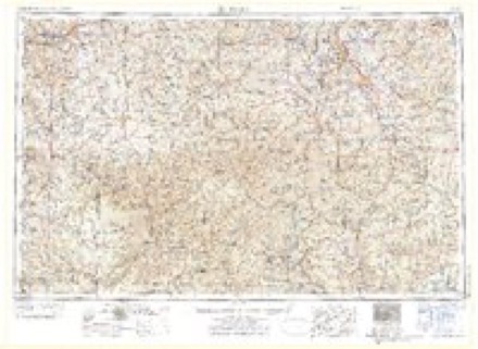
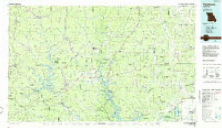
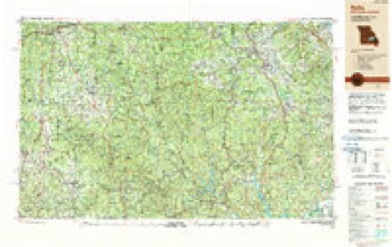
Topographic sheets covering this place
13 surveys from 18 printed sheetsMatched by testing this settlement's coordinate against the published boundary of every sheet in the United States Geological Survey's historical collection. Each opens the scanned sheet at the Survey.
- 1933 USGS Marquand quadrangle1:62500, 2 printings
- 1938 USGS Marquand quadrangle1:62500, 2 printings
- 1949 USGS Rolla quadrangle1:250000
- 1953 USGS Rolla quadrangle1:250000
- 1954 USGS Rolla quadrangle1:250000, 2 printings
- 1958 USGS Rolla quadrangle1:250000
- 1959 USGS Rolla quadrangle1:250000
- 1960 USGS Rolla quadrangle1:250000
- 1966 USGS Rolla quadrangle1:250000
- 1971 USGS Rolla quadrangle1:250000
- 1980 USGS Glenallen quadrangle1:24000, 2 printings
- 1986 USGS Piedmont quadrangle1:100000, 2 printings
- 1989 USGS Rolla quadrangle1:250000
Fires near this place
8 since 1995Regional context, not property-specific evidence. The federal wildfire occurrence database lists 8 fires within 5 miles of Grassy between 1995 and 2018, burning about 62 acres in total. None started naturally. None was recorded as arson. Distance is straight-line from the map coordinates, so a fire counted here may appear on a neighbouring settlement's page as well.
| Reported cause | Fires |
|---|---|
| Debris and open burning | 4 |
| Missing data/not specified/undetermined | 2 |
| Equipment and vehicle use | 1 |
| Smoking | 1 |
The most recent of them, most recent first, with the day each was reported and the service that recorded it.
| Date | Cause | Size | Reported by | Name on the report |
|---|---|---|---|---|
| 14 August 1999 | Debris and open burning | 8.0 acres | Missouri Department of Conservation | not named |
| 31 July 1999 | Debris and open burning | 20 acres | Missouri Department of Conservation | not named |
| 31 May 1997 | Equipment and vehicle use | 1.0 acres | Missouri Department of Conservation | not named |
| 31 May 1997 | Smoking | 2.0 acres | Missouri Department of Conservation | not named |
| 27 April 2018 | Debris and open burning | 7.5 acres | Missouri Department of Conservation | 177012-00922-04272018-0100 |
| 25 March 2018 | Debris and open burning | 9.9 acres | Missouri Department of Conservation | 176575-00915-03252018-0258 |
| 21 March 1995 | Missing data/not specified/undetermined | 4.0 acres | Missouri Department of Conservation | not named |
| 31 October 1996 | Missing data/not specified/undetermined | 10 acres | Missouri Department of Conservation | not named |
Settlements close enough to share some of these fires:
Mines and quarries near this place
10 of 41 shownRegional context, not property-specific evidence. The federal mineral resources record lists 41 workings within 5 miles of Grassy: 39 past producers, 1 prospect, 1 occurrence. None of them still produces. What was taken out: Clay, Iron, Stone, Crushed/Broken, Sand and Gravel, Construction. Distance is straight-line from the map coordinates, so a quarry counted here may appear on a neighbouring settlement's page as well.
| Where | Site | Commodity | Status | Recorded |
|---|---|---|---|---|
| Unknown | Sand and Gravel, Construction | Past Producer | ||
| Sharp Pit | Clay, Stone, Crushed/Broken | Past Producer | ||
| Unknown | Stone, Crushed/Broken | Past Producer | ||
| Unknown | Stone, Crushed/Broken | Past Producer | ||
| Unknown | Stone, Crushed/Broken | Past Producer | ||
| Unknown | Clay, Stone, Crushed/Broken | Past Producer | ||
| Field Bank | Iron | Occurrence | ||
| Glenn Emma Mine | Iron | Past Producer | 1873, 1875 | |
| Glenn Emma Mine | Iron | Past Producer | ||
| Lornug Bank | Clay, Iron | Past Producer |
Storms near this place
20 since 1993Regional context, not property-specific evidence. The National Weather Service names Grassy in 20 storm reports between 1993 and 2025: 11 hail, 4 thunderstorm wind, 3 flash flood, 2 tornado. The reports record 5 deaths and 4 injuries. Each account below is quoted exactly as the forecast office filed it, from the NOAA Storm Events Database, and each date opens the federal record of that event.
| When | Event | Place named | Harm | What the report says |
|---|---|---|---|---|
| April 2023 | Tornado (EF2) | Grassy | 5 killed, 4 hurt, $2,000,000 | The tornado moved northeast across central Bollinger County, passing just north and west of Marble Hill. The most severe damage occurred in Glenallen (near Marble Hill), where several fatalities and injuries occurred. All five occupants of a demolished mobile home were killed there, including two teenagers, a middle-aged adult, and two older adults. Several manufactured homes were totally destroyed. Approximately a couple of dozen homes suffered major structural damage, including roof damage, broken windows, and collapse of walls. Severe tree damage occurred in the vicinity of Glenallen, where hundreds of trees were snapped at the base. A dozen or so farm outbuildings sustained major damage along the path of the tornado. Peak winds were estimated near 130 mph at Glenallen. The maximum path width and damage rating were assigned to the Glenallen area along Highway 34. The tornado was very close to dissipating when it crossed into Cape Girardeau County. |
| April 1994 | Hail | Grassy | $50,000 | Windshields were broken out of several cars. |
| June 2000 | Flash Flood | Grassy | $50,000 | no account filed |
| May 2003 | Tornado (F2) | Grassy | $40,000 | A mobile home, a house, and a barn was destroyed. Most of the damage was on County Road 702. Peak winds were estimated around 130 MPH. |
| April 2002 | Thunderstorm Wind | Grassy | $10,000 | Windows were blown out of a house. Large hail, up to half-dollar size, contributed to the damage. |
| July 1996 | Thunderstorm Wind | Grassy | $10,000 | no account filed |
| July 2010 | Thunderstorm Wind | Grassy | $8,000 | High winds took down three trees and several limbs at a campground on the Castor River near Grassy. |
| June 1994 | Thunderstorm Wind | Grassy | $500 | Numerous large trees and power lines were blown down in Grassy. A swath of damaging wind and hail nearly 15 miles wide destroyed a new 100 x 30 foot pole barn and knocked down numerous trees between Marble Hill and Advance. A lumber shed on Highway 34 was completely destroyed as well. |
| March 2025 | Hail | Grassy | - | Ping pong ball size hail occurred at Highway DD and County Road 810 north of Grassy. |
| May 2023 | Hail | Grassy | - | The hail was reported at a campground. |
| March 2008 | Hail | Grassy | - | Nickel to quarter size hail occurred. |
| April 2008 | Flash Flood | Grassy | - | Highway H was closed between Zalma and Grassy. Water was over Highway PP. |
| October 1993 | Hail | Grassy | - | Reported by county officials. |
| May 2017 | Hail | Grassy | - | no account filed |
| April 2017 | Hail | Grassy | - | no account filed |
| March 2007 | Hail | Grassy | - | no account filed |
| August 2003 | Flash Flood | Grassy | - | no account filed |
| May 2003 | Hail | Grassy | - | no account filed |
| July 1997 | Hail | Grassy | - | no account filed |
| May 1996 | Hail | Grassy | - | no account filed |
Nearest settlements
The eight closest, with where each one stands in the county. Distances are straight-line, computed from the Geographic Names Information System coordinates.
Provenance
This settlement is recorded in the Geographic Names Information System as feature 718716. The sheet list is computed by point-in-boundary test against the United States Geological Survey's historical topographic inventory. Both are works of the United States government and carry no copyright under 17 U.S.C. 105.
Wildfire. Short, Karen C. 2022. Spatial wildfire occurrence data for the United States, 1992-2020 [FPA_FOD_20221014]. 6th Edition. Fort Collins, CO: Forest Service Research Data Archive. https://doi.org/10.2737/RDS-2013-0009.6 Collected with United States Government funding and usable without additional permissions or fees.
Mines and quarries. USGS Mineral Resources Data System (MRDS) https://mrdata.usgs.gov/mrds/ A work of the United States government, no copyright under 17 U.S.C. 105.
Storms. NOAA National Centers for Environmental Information, Storm Events Database https://www.ncei.noaa.gov/stormevents/ A work of the United States government, no copyright under 17 U.S.C. 105. Narratives are quoted verbatim from the National Weather Service report and are not edited or summarised.