 Block
Grisham, Missouri
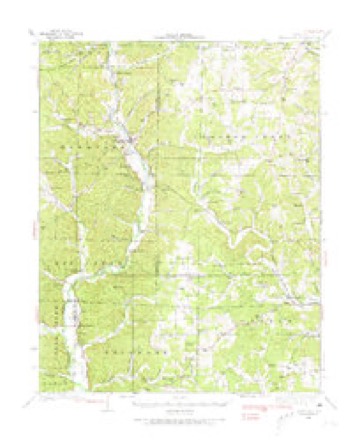
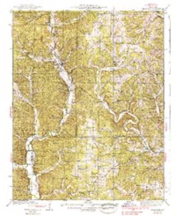
19 topographic sheets cover this place, the earliest surveyed in 1933 and the latest in 2000. It stands in Crooked Creek Township. It lies in ZIP code area 63751. It stands on Turkey Creek. The Survey maps it on the Hurricane quadrangle.
Topographic sheets covering this place
14 surveys from 19 printed sheetsMatched by testing this settlement's coordinate against the published boundary of every sheet in the United States Geological Survey's historical collection. Each opens the scanned sheet at the Survey.
- 1933 USGS Marquand quadrangle1:62500, 2 printings
- 1938 USGS Marquand quadrangle1:62500, 2 printings
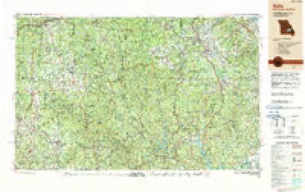
- 1949 USGS Rolla quadrangle1:250000
- 1953 USGS Rolla quadrangle1:250000
- 1954 USGS Rolla quadrangle1:250000, 2 printings
- 1958 USGS Rolla quadrangle1:250000
- 1959 USGS Rolla quadrangle1:250000
- 1960 USGS Rolla quadrangle1:250000
- 1966 USGS Rolla quadrangle1:250000
- 1971 USGS Rolla quadrangle1:250000
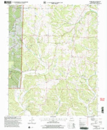
- 1980 USGS Hurricane quadrangle1:24000, 2 printings
- 1986 USGS Piedmont quadrangle1:100000, 2 printings
- 1989 USGS Rolla quadrangle1:250000
- 2000 USGS Hurricane quadrangle1:24000
Fires near this place
8 since 1992Regional context, not property-specific evidence. The federal wildfire occurrence database lists 8 fires within 5 miles of Grisham between 1992 and 2018, burning about 81 acres in total. None started naturally. 1 was recorded as arson. Distance is straight-line from the map coordinates, so a fire counted here may appear on a neighbouring settlement's page as well.
| Reported cause | Fires |
|---|---|
| Debris and open burning | 6 |
| Missing data/not specified/undetermined | 1 |
| Arson/incendiarism | 1 |
The most recent of them, most recent first, with the day each was reported and the service that recorded it.
| Date | Cause | Size | Reported by | Name on the report |
|---|---|---|---|---|
| 18 August 1999 | Debris and open burning | 2.0 acres | Missouri Department of Conservation | not named |
| 31 July 1999 | Debris and open burning | 20 acres | Missouri Department of Conservation | not named |
| 29 July 1999 | Debris and open burning | 3.0 acres | Missouri Department of Conservation | not named |
| 18 July 1999 | Missing data/not specified/undetermined | 33 acres | Missouri Department of Conservation | not named |
| 31 May 1997 | Debris and open burning | 2.0 acres | Missouri Department of Conservation | not named |
| 5 April 1992 | Debris and open burning | 7.0 acres | Missouri Department of Conservation | not named |
| 26 March 1995 | Arson/incendiarism | 2.0 acres | Mark Twain National Forest | MARQUAND |
| 22 November 2018 | Debris and open burning | 12 acres | Missouri Department of Conservation | 177993-00902-11222018-1500 |
Settlements close enough to share some of these fires:
Mines and quarries near this place
10 of 15 shownRegional context, not property-specific evidence. The federal mineral resources record lists 15 workings within 5 miles of Grisham: 12 past producers, 3 occurrences. None of them still produces. What was taken out: Iron. Distance is straight-line from the map coordinates, so a quarry counted here may appear on a neighbouring settlement's page as well.
| Where | Site | Commodity | Status | Recorded |
|---|---|---|---|---|
| Cozean Mine | Iron | Past Producer | ||
| Field Bank | Iron | Occurrence | ||
| Fox Bank | Iron | Past Producer | ||
| Gale Slinkard Mine | Iron | Past Producer | ||
| Gilmore Mine | Iron | Past Producer | ||
| Lux Bank | Iron | Past Producer | ||
| Nifong Bank | Iron | Occurrence | Limonite | |
| Nifong Bank | Iron | Past Producer | ||
| Pavlick Bank | Iron | Past Producer | ||
| Rhodes Bank | Iron | Past Producer |
Storms near this place
4 since 2011Regional context, not property-specific evidence. The National Weather Service names Grisham in 4 storm reports between 2011 and 2024: 4 tornado. The reports record 1 injury. Each account below is quoted exactly as the forecast office filed it, from the NOAA Storm Events Database, and each date opens the federal record of that event.
| When | Event | Place named | Harm | What the report says |
|---|---|---|---|---|
| March 2019 | Tornado (EF2) | Grisham | 1 hurt, $60,000 | A National Weather Service damage survey revealed damage from an EF-2 tornado that started along County Road 844, only about a mile from the Madison County line. This tornado was spawned by the same supercell that produced a tornado inside Madison County. Due to the densely forested terrain, it could not be determined whether the Madison County track was connected to the Bollinger County track. The Bollinger County tornado formed along the headwaters of Crooked Creek in extreme western Bollinger County. The tornado then moved east across Highway 51. Several small sheds were moved or damaged along the path. Numerous trees were uprooted or snapped along the path as well. A man received minor scratches on his back when the tornado demolished his single-wide mobile home on County Road 344. The mobile home was tied down, but winds rolled the mobile home frame about 25 yards. The frame of the mobile home was twisted. The tornado attained its maximum EF-2 intensity rating at the site of the mobile home. Where the tornado crossed Highway 51, two small outbuildings were moved about 20 feet, and metal was peeled off the roof of a barn. The tornado ended along County Road 342 about eight miles north-northeast of Marble Hill. Peak winds were estimated near 120 mph where the mobile home was destroyed. |
| February 2012 | Tornado (EF1) | Grisham | $100,000 | Six to eight homes sustained roof damage along Highway 72. The roof damage consisted mainly of shingle damage. Ten larger barns received roof damage over a five-mile area. Numerous trees were uprooted and snapped. Numerous power poles were down. The average path width was 800 yards. Peak winds were estimated near 90 mph. |
| May 2024 | Tornado (EF1) | Grisham | $70,000 | An EF-1 tornado began in Marquand in Madison County, then traveled southeast into Bollinger County near County Rd 846, causing uprooted trees and large broken branches. It crossed County Rd 844, and then went on to cause a swath of substantial tree damage (snapped and uprooted trees) near Crooked Creek. The tornado then moved in a more easterly direction south of the Hawn Creek Access area, before crossing County Rd 848. A home had part of its porch lifted up and damaged in this location along with large tree limbs broken. The tornado then caused a fairly decent swath of tree damage in some forested areas north of County Rd 846/Hwy 00. At the end of the tornado track, the roof of a barn was destroyed and the debris was tossed onto the adjacent home, causing roof damage. Estimated peak winds for the Bollinger County portion of this tornado, and the tornado as a whole, were 100 mph. |
| May 2011 | Tornado (EF1) | Grisham | $30,000 | The tornado continued into Bollinger County from Madison County. Hundreds of trees were uprooted and snapped. Peak winds were estimated near 100 mph. The average path width was 200 yards. |
Nearest settlements
The eight closest, with where each one stands in the county. Distances are straight-line, computed from the Geographic Names Information System coordinates.
Elsewhere
Matched on this settlement's Geographic Names Information System number rather than its name, so it cannot be a different place of the same name in another state.
| Wikidata item Q122595595 | The structured record the population and elevation above come from. Public domain (CC0). |
Provenance
This settlement is recorded in the Geographic Names Information System as feature 750168. The sheet list is computed by point-in-boundary test against the United States Geological Survey's historical topographic inventory. Both are works of the United States government and carry no copyright under 17 U.S.C. 105.
Wildfire. Short, Karen C. 2022. Spatial wildfire occurrence data for the United States, 1992-2020 [FPA_FOD_20221014]. 6th Edition. Fort Collins, CO: Forest Service Research Data Archive. https://doi.org/10.2737/RDS-2013-0009.6 Collected with United States Government funding and usable without additional permissions or fees.
Mines and quarries. USGS Mineral Resources Data System (MRDS) https://mrdata.usgs.gov/mrds/ A work of the United States government, no copyright under 17 U.S.C. 105.
Storms. NOAA National Centers for Environmental Information, Storm Events Database https://www.ncei.noaa.gov/stormevents/ A work of the United States government, no copyright under 17 U.S.C. 105. Narratives are quoted verbatim from the National Weather Service report and are not edited or summarised.