 Block
Halleck, Missouri
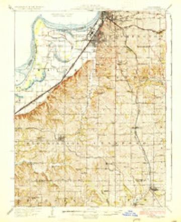
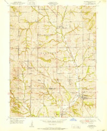
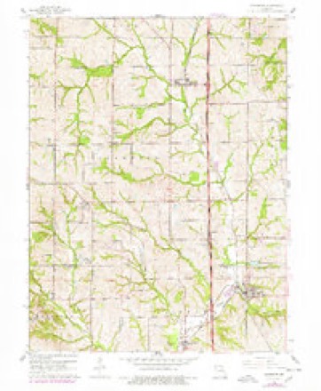
18 topographic sheets cover this place, the earliest surveyed in 1927 and the latest in 1986. It stands in Crawford Township. It lies in ZIP code area 64448. The Survey maps it on the Dearborn quadrangle.
Topographic sheets covering this place
8 surveys from 18 printed sheetsMatched by testing this settlement's coordinate against the published boundary of every sheet in the United States Geological Survey's historical collection. Each opens the scanned sheet at the Survey.
- 1927 USGS Dearborn quadrangle1:62500, 3 printings
- 1950 USGS Kansas City quadrangle1:250000
- 1951 USGS Dearborn quadrangle1:24000, 2 printings
- 1954 USGS Kansas City quadrangle1:250000
- 1956 USGS Kansas City quadrangle1:250000, 4 printings
- 1960 USGS Kansas City quadrangle1:250000, 3 printings
- 1961 USGS Dearborn quadrangle1:24000, 2 printings
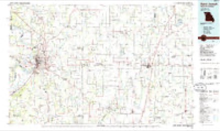
- 1986 USGS Saint Joseph quadrangle1:100000, 2 printings




In the county-history sources
6,623 words on this townshipThe History of Buchanan County, Missouri : Containing a History of the County, Its Cities, Towns, Etc., Biographical Sketches of Its Citizens, Buchanan County in the Late War, General and Local Statisics, Portraits of Early Settlers and Prominent Men, History of Missouri, Map of Buchanan County, Etc., Etc, published 1881 names this settlement in its chapter on Crawford Township. These are the passages that mention it, exactly as the scans read.
Halleck, was born in Boyle County, Kentucky, January 15, 1832, where he received a good, common school education. Emigrating to Missouri in 1849, he located at Halleck, where he read medicine under Dr. Crow. He afterwards attended lectures at Lexington, Kentucky, where he was graduated in 1855. He commenced the practice of medicine in DeKalb in the spring of 1856 ; thence he moved to Whitesville, Andrew County, where he remained until i860. He then permanently located at Halleck where he has been uniformly successful in the practice of medicine and surgery. He married Miss Josephine Finney, a native of Missouri, in 1856. By this marriage they had five children : Margaret S., Elizabeth S., Lee D., Mary P., J. H. C. His estimable wife died in 1873. In 1874 he married Miss Sarah E. Meadows, a native of Missouri, by whom he has had one child, Plato W. Dr. Robinson is a Mason and a member of the I. O". O. F. He is present (1881) Noble Grand of Truth Lodge, No. 216, Halleck. He is a member of and deacon in the Christian Church. He has also been school director for years. By his own industry he has accumulated 319 acres of land and an interest in the most valuable flouring mill in the country. He is highly popular, both personally and professionally.
farmer and miller, sections 5 and 6, postoffice Halleck, was born in Buchanan County, Missouri, August 12, 1846, and received a good, common school education. He was married April 5, 1874, to Miss Maggie Robinson, a native of Missouri, born May 13, i8S7- They had four children : Beulah, born September 25, 1875; Verna, born April 3, 1877; Viola, born September 3, 1878; James, born July 3, 1880; all living. Mr. Brown owns 190 acres of land, all under fence and in a good state of He devotes most of his time to the milling business at Halleck. He is a Mason and a member of the I. O. O. F. Has made all he possesses since the war.
farmer and teamster, Toas, postoffice Halleck, was born in Ohio, March 27, 1830, and had a fair education. Owns a house and lot in Toas and two and one-quarter acres of land adjoining the city. Was married, September 11, 1855, to Miss Mary M. Boiler. She was born September
Machine-read from a century-old scan, so expect the errors a machine makes: misspelled names, dropped words, stray characters.
Read the whole chapter on Crawford Township - it names this place 16 more 16 times.
Fires near this place
11 since 2018Regional context, not property-specific evidence. The federal wildfire occurrence database lists 11 fires within 5 miles of Halleck between 2018 and 2020, burning about 58 acres in total. None started naturally. 2 were recorded as arson. Distance is straight-line from the map coordinates, so a fire counted here may appear on a neighbouring settlement's page as well.
| Reported cause | Fires |
|---|---|
| Missing data/not specified/undetermined | 7 |
| Arson/incendiarism | 2 |
| Debris and open burning | 1 |
| Other causes | 1 |
The most recent of them, most recent first, with the day each was reported and the service that recorded it.
| Date | Cause | Size | Reported by | Name on the report |
|---|---|---|---|---|
| 24 July 2018 | Missing data/not specified/undetermined | under an acre | Missouri Department of Conservation | 177407-01180-07242018-2100 |
| 10 June 2019 | Debris and open burning | 1.5 acres | Missouri Department of Conservation | 189940-01180-06102019-1825 |
| 4 March 2020 | Missing data/not specified/undetermined | 14 acres | Missouri Department of Conservation | 190308-01180-03042020-1825 |
| 31 March 2018 | Missing data/not specified/undetermined | under an acre | Missouri Department of Conservation | 176391-01111-03312018-1311 |
| 14 March 2018 | Arson/incendiarism | 2.1 acres | Missouri Department of Conservation | 176118-01180-03142018-1336 |
| 13 March 2018 | Arson/incendiarism | under an acre | Missouri Department of Conservation | 176115-01180-03132018-1540 |
| 29 February 2020 | Missing data/not specified/undetermined | 24 acres | Missouri Department of Conservation | 190307-01180-02292020-1405 |
| 9 December 2020 | Missing data/not specified/undetermined | under an acre | Missouri Department of Conservation | 251192-01180-12092020-1043 |
Settlements close enough to share some of these fires:
Mines and quarries near this place
10 of 19 shownRegional context, not property-specific evidence. The federal mineral resources record lists 19 workings within 5 miles of Halleck: 19 past producers. None of them still produces. What was taken out: Stone, Crushed/Broken. Distance is straight-line from the map coordinates, so a quarry counted here may appear on a neighbouring settlement's page as well.
| Where | Site | Commodity | Status | Recorded |
|---|---|---|---|---|
| Dearborn Quarry | Stone, Crushed/Broken | Past Producer | ||
| Dearborn Quarry | Stone, Crushed/Broken | Past Producer | ||
| Ferris Quarry | Stone, Crushed/Broken | Past Producer | ||
| Franks Quarry | Stone, Crushed/Broken | Past Producer | ||
| Spencer #1 Quarry | Stone, Crushed/Broken | Past Producer | ||
| Spencer #2 Quarry | Stone, Crushed/Broken | Past Producer | ||
| Unknown | Stone, Crushed/Broken | Past Producer | ||
| Unknown | Stone, Crushed/Broken | Past Producer | ||
| Unknown | Stone, Crushed/Broken | Past Producer | ||
| Unknown | Stone, Crushed/Broken | Past Producer |
Nearest settlements
The eight closest, with where each one stands in the county. Distances are straight-line, computed from the Geographic Names Information System coordinates.
| Map | Place | Distance | Sheets |
|---|---|---|---|
| Taos | 0.8 miles | 18 | |
| Lone Star | 1.6 miles | 18 | |
| Faucett | 2.0 miles | 18 | |
| Wallace | 2.1 miles | 18 | |
| Willow Brook | 3.9 miles | 18 | |
| Mock Corner | 4.8 miles | 19 | |
| Pinkston | 4.8 miles | 18 | |
| Sparta | 5.0 miles | 18 |
Provenance
This settlement is recorded in the Geographic Names Information System as feature 759713. The sheet list is computed by point-in-boundary test against the United States Geological Survey's historical topographic inventory. Both are works of the United States government and carry no copyright under 17 U.S.C. 105.
Wildfire. Short, Karen C. 2022. Spatial wildfire occurrence data for the United States, 1992-2020 [FPA_FOD_20221014]. 6th Edition. Fort Collins, CO: Forest Service Research Data Archive. https://doi.org/10.2737/RDS-2013-0009.6 Collected with United States Government funding and usable without additional permissions or fees.
Mines and quarries. USGS Mineral Resources Data System (MRDS) https://mrdata.usgs.gov/mrds/ A work of the United States government, no copyright under 17 U.S.C. 105.