 Block
Judd, Missouri
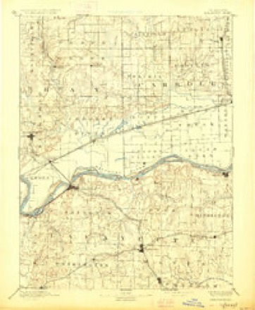
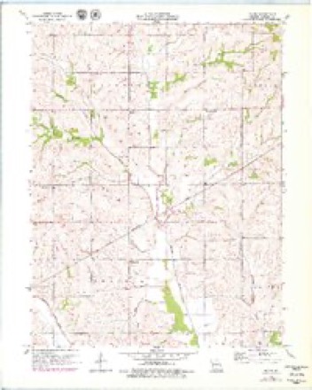
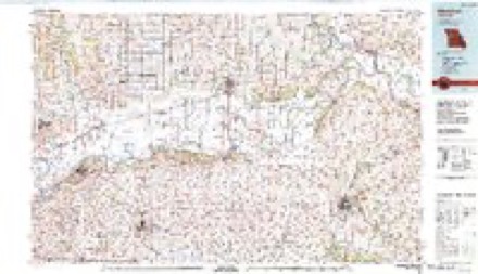
15 topographic sheets cover this place, the earliest surveyed in 1889 and the latest in 1982. It stands in Prairie Township. It lies in ZIP code area 64668. The Survey maps it on the Roads quadrangle.
Topographic sheets covering this place
7 surveys from 15 printed sheetsMatched by testing this settlement's coordinate against the published boundary of every sheet in the United States Geological Survey's historical collection. Each opens the scanned sheet at the Survey.
- 1889 USGS Lexington quadrangle1:125000, 6 printings
- 1953 USGS Moberly quadrangle1:250000
- 1954 USGS Moberly quadrangle1:250000, 3 printings
- 1957 USGS Moberly quadrangle1:250000
- 1957 USGS Roads quadrangle1:24000, 2 printings
- 1960 USGS Moberly quadrangle1:250000
- 1982 USGS Marshall quadrangle1:100000




What happened here
An account from the chapter on Prairie township. The inset identifies its exact source book and publication year.
Luther W. Sumpter
born February 8th, 1854, in Monroe county. Mo. Son of John W. and Susan Sumpter. His father John W., was killed at Kirksville, Mo., July 4th, 1861, while on his way out to where the Militia were drilling. He was .attacked by George Wood, struck over the head with a loaded cane, and stabbed with a dirk. The cause of the attack was merely because Mr.
In the county-history sources
11,112 words on this townshipHistory of Carroll County, Missouri : Carefully Written and Compiled from the Most Authentic Official and Private Sources, Including a History of Its Townships, Cities, Towns and Villages, Together with a Condensed History of Missouri ; the Constitution of the United States, and State of Missouri ; a Military Record of Its Volunteers in Either Army of the Great Civil War ; General and Local Statistics ; Miscellany ; Reminiscences, Grave, Tragic and Humorous ; Biographical Sketches of Prominent Men and Citizens Identified with the Interests of the Country, published 1881 names this settlement in its chapter on Prairie Township. These are the passages that mention it, exactly as the scans read.
born in Duchess county. New York. He is a son of Dr. Stoddard Judd. He was raised and educated in the county of his birth. At the age of eighteen he emigrated with his parents to Wisconsin, and in 1870, he came to Carroll county. Mo., being then twenty-three years old. He has a farm of 500 acres, of fine improved land. He deals extensively in live stock. He was married in 1851, to Miss Maria Tompkins, a native of New York. They have seven children living, Samuel S., George L., Ida F., Mary E., Randall T., Anna M., and Hattie V. Mr. Judd is a member of the I. O. O. F. at Wanshard, Lodge No. 50, in Wisconsin.
Machine-read from a century-old scan, so expect the errors a machine makes: misspelled names, dropped words, stray characters.
Fires near this place
2 since 2002Regional context, not property-specific evidence. The federal wildfire occurrence database lists 2 fires within 5 miles of Judd between 2002 and 2014, burning about 3 acres in total. None started naturally. None was recorded as arson. Distance is straight-line from the map coordinates, so a fire counted here may appear on a neighbouring settlement's page as well.
| Reported cause | Fires |
|---|---|
| Missing data/not specified/undetermined | 1 |
| Debris and open burning | 1 |
The most recent of them, most recent first, with the day each was reported and the service that recorded it.
| Date | Cause | Size | Reported by | Name on the report |
|---|---|---|---|---|
| 26 March 2014 | Missing data/not specified/undetermined | 1.0 acres | Missouri Department of Conservation | not named |
| 17 February 2002 | Debris and open burning | 2.0 acres | Missouri Department of Conservation | not named |
Settlements close enough to share some of these fires:
Nearest settlements
The eight closest, with where each one stands in the county. Distances are straight-line, computed from the Geographic Names Information System coordinates.
| Map | Place | Distance | Sheets |
|---|---|---|---|
| Stet | 1.0 miles | 15 | |
| Roads | 3.6 miles | 15 | |
| Bingham (historical) | 6.3 miles | 15 | |
| Mandeville | 8.1 miles | 15 | |
| Quote | 8.6 miles | 15 | |
| Norborne | 9.0 miles | 15 | |
| Palemon | 10.0 miles | 15 | |
| Bogard | 11.7 miles | 15 |
Provenance
This settlement is recorded in the Geographic Names Information System as feature 740215. The sheet list is computed by point-in-boundary test against the United States Geological Survey's historical topographic inventory. Both are works of the United States government and carry no copyright under 17 U.S.C. 105.
Wildfire. Short, Karen C. 2022. Spatial wildfire occurrence data for the United States, 1992-2020 [FPA_FOD_20221014]. 6th Edition. Fort Collins, CO: Forest Service Research Data Archive. https://doi.org/10.2737/RDS-2013-0009.6 Collected with United States Government funding and usable without additional permissions or fees.