 Block
Kampville, Missouri
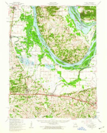
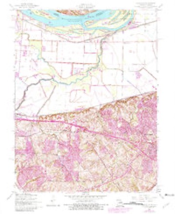
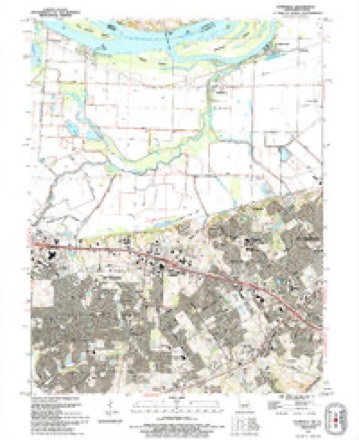
28 topographic sheets cover this place, the earliest surveyed in 1903 and the latest in 1994. It stands in Rivers Township. It lies in ZIP code area 63301. It stands on Dardenne Creek. The Survey maps it on the Kampville quadrangle.
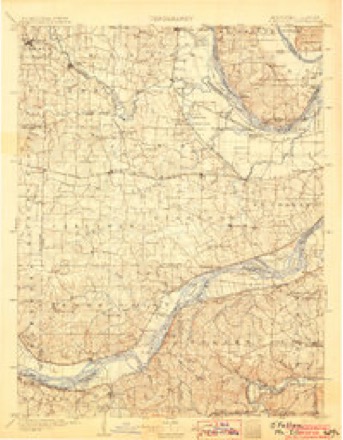
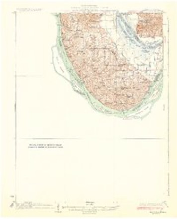
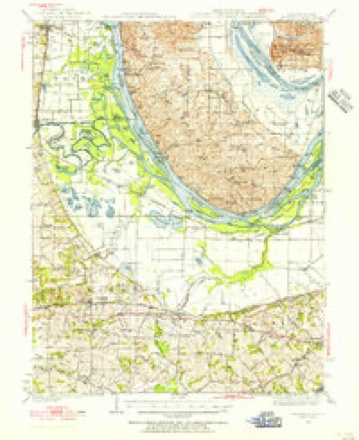
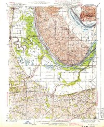
Topographic sheets covering this place
13 surveys from 28 printed sheetsMatched by testing this settlement's coordinate against the published boundary of every sheet in the United States Geological Survey's historical collection. Each opens the scanned sheet at the Survey.
- 1903 USGS O'Fallon quadrangle1:125000, 5 printings
- 1931 USGS Brussels quadrangle1:62500, 2 printings
- 1939 USGS Brussels quadrangle1:62500
- 1943 USGS Brussels quadrangle1:62500, 2 printings
- 1949 USGS Saint Louis quadrangle1:250000
- 1949 USGS St. Louis quadrangle1:250000
- 1954 USGS Brussels quadrangle1:62500, 2 printings
- 1954 USGS Kampville quadrangle1:24000, 4 printings
- 1962 USGS St. Louis quadrangle1:250000
- 1963 USGS St. Louis quadrangle1:250000, 4 printings
- 1966 USGS St. Louis quadrangle1:250000
- 1985 USGS St Louis quadrangle1:100000, 3 printings
- 1994 USGS Kampville quadrangle1:24000






Fires near this place
2 since 2003Regional context, not property-specific evidence. The federal wildfire occurrence database lists 2 fires within 5 miles of Kampville between 2003 and 2017, burning about 5 acres in total. None started naturally. None was recorded as arson. Distance is straight-line from the map coordinates, so a fire counted here may appear on a neighbouring settlement's page as well.
| Reported cause | Fires |
|---|---|
| Missing data/not specified/undetermined | 1 |
| Debris and open burning | 1 |
The most recent of them, most recent first, with the day each was reported and the service that recorded it.
| Date | Cause | Size | Reported by | Name on the report |
|---|---|---|---|---|
| 23 May 2003 | Missing data/not specified/undetermined | under an acre | Missouri State Fire Marshal's Office | not named |
| 28 November 2017 | Debris and open burning | 5.0 acres | Illinois Division of Forestry Resources | ALAN TOPPMEYER 201714 |
Settlements close enough to share some of these fires:
Mines and quarries near this place
7 within 5 milesRegional context, not property-specific evidence. The federal mineral resources record lists 7 workings within 5 miles of Kampville: 7 past producers. None of them still produces. What was taken out: Stone, Crushed/Broken. Distance is straight-line from the map coordinates, so a quarry counted here may appear on a neighbouring settlement's page as well.
| Where | Site | Commodity | Status | Recorded |
|---|---|---|---|---|
| Calhoun Quarry | Stone, Crushed/Broken | Past Producer | ||
| Golden Eagle Quarry | Stone, Crushed/Broken | Past Producer | ||
| Missouri Pacific Rr Co.Quarry | Stone, Crushed/Broken | Past Producer | ||
| Osborne Quarry | Stone, Crushed/Broken | Past Producer | ||
| Unk | Stone, Crushed/Broken | Past Producer | ||
| Unk | Stone, Crushed/Broken | Past Producer | ||
| Unk | Stone, Crushed/Broken | Past Producer |
Storms near this place
4 since 2008Regional context, not property-specific evidence. The National Weather Service names Kampville in 4 storm reports between 2008 and 2017: 1 flash flood, 1 thunderstorm wind, 1 hail, 1 tornado. The reports record 2 injuries. Each account below is quoted exactly as the forecast office filed it, from the NOAA Storm Events Database, and each date opens the federal record of that event.
| When | Event | Place named | Harm | What the report says |
|---|---|---|---|---|
| May 2015 | Thunderstorm Wind | Kampville | 2 hurt | As a thunderstorm moved through Lakeside 370 RV Park and Campground, winds around 50 mph struck two RVs broadside and rolled them over. Several tents and tables were also blown down/overturned. Four people were injured. One person had a broken leg and another had a shoulder injury. The other two just had minor injuries. Only the person with the broken leg was transported to the hospital. |
| June 2008 | Flash Flood | Kampville | $50,000 | The Elm Point Levee failed causing flood waters to pour into a portion of far northern St. Charles county. The area affected was from just north of Highway 370 to Huster Road on the east to Elm Point Road on the south and Truman Boulevard on the west. The St. Louis Youth Association's 18 soccer fields were flooded and about 500 acres of farmland were affected. A couple of businesses were flooded as well. Highway 370 was closed for a brief time as there were hundreds of deer and other wildlife crossing the highway to higher ground and they were causing a major hazard to traffic in the area. |
| April 2017 | Tornado (EF0) | Kampville | - | A weak tornado touched down to the southwest of the intersection of Missouri Highway B and Huster Road causing minor damage to trees in this area and traveled northeast to the small community of South Shore where several single family homes experienced minor damage, while outbuildings or sheds were destroyed. Damage to structures and trees were consistent with wind speeds of 80 mph. The tornado moved northeast and intersected a line of parked campers and boats along Dwyer Club Road. At least half of a dozen boats and campers were tossed to the northeast and destroyed by the tornado. Several trees in this area were uprooted, mainly due to the very wet soil. The damage path was 100 yards wide at this location. The tornado then hit an outbuilding on Dwyer Road, lifting most of the roof panels to the northeast. The tornado passed just to the east of Yacht Club Harbor with only a few tree limbs broken in this area. The Lake Center Marina did not fare so well, with two boat docks lifted and twisted into the trees on the south end of the property. The tornado lifted shortly thereafter with no visible damage to the north of this location. Overall, the tornado was rated EF0 with max wind speeds of 80 MPH. Path length is 3.85 miles with a max path width of 100 yards. |
| June 2015 | Hail | Kampville | - | no account filed |
Nearest settlements
The eight closest, with where each one stands in the county. Distances are straight-line, computed from the Geographic Names Information System coordinates.
| Map | Place | Distance | Sheets |
|---|---|---|---|
| Seebarger | 0.4 miles | 28 | |
| South Shore | 1.5 miles | 28 | |
| Seeburger | 2.1 miles | 28 | |
| McCann Landing | 2.9 miles | 28 | |
| Vans Camp | 2.9 miles | 27 | |
| Gardnerville | 3.0 miles | 28 | |
| Peruque | 3.5 miles | 28 | |
| Blase | 3.9 miles | 25 |
Provenance
This settlement is recorded in the Geographic Names Information System as feature 756236. The sheet list is computed by point-in-boundary test against the United States Geological Survey's historical topographic inventory. Both are works of the United States government and carry no copyright under 17 U.S.C. 105.
Wildfire. Short, Karen C. 2022. Spatial wildfire occurrence data for the United States, 1992-2020 [FPA_FOD_20221014]. 6th Edition. Fort Collins, CO: Forest Service Research Data Archive. https://doi.org/10.2737/RDS-2013-0009.6 Collected with United States Government funding and usable without additional permissions or fees.
Mines and quarries. USGS Mineral Resources Data System (MRDS) https://mrdata.usgs.gov/mrds/ A work of the United States government, no copyright under 17 U.S.C. 105.
Storms. NOAA National Centers for Environmental Information, Storm Events Database https://www.ncei.noaa.gov/stormevents/ A work of the United States government, no copyright under 17 U.S.C. 105. Narratives are quoted verbatim from the National Weather Service report and are not edited or summarised.