 Block
Peruque, Missouri
28 topographic sheets cover this place, the earliest surveyed in 1903 and the latest in 1994. It stands in Rivers Township. It lies in ZIP code area 63301. It lies near Two Branch Island. The Survey maps it on the Kampville quadrangle.
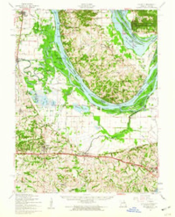
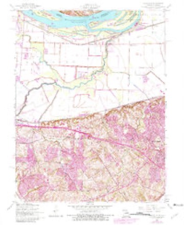
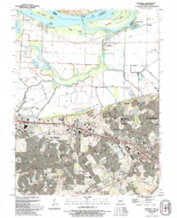
Topographic sheets covering this place
13 surveys from 28 printed sheetsMatched by testing this settlement's coordinate against the published boundary of every sheet in the United States Geological Survey's historical collection. Each opens the scanned sheet at the Survey.
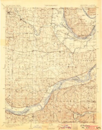
- 1903 USGS O'Fallon quadrangle1:125000, 5 printings
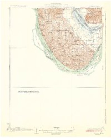
- 1931 USGS Brussels quadrangle1:62500, 2 printings
- 1939 USGS Brussels quadrangle1:62500
- 1943 USGS Brussels quadrangle1:62500, 2 printings
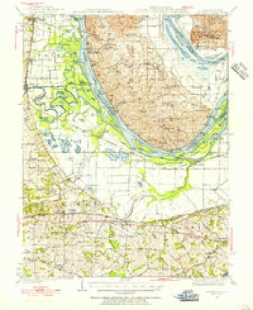
- 1949 USGS Saint Louis quadrangle1:250000
- 1949 USGS St. Louis quadrangle1:250000
- 1954 USGS Brussels quadrangle1:62500, 2 printings
- 1954 USGS Kampville quadrangle1:24000, 4 printings
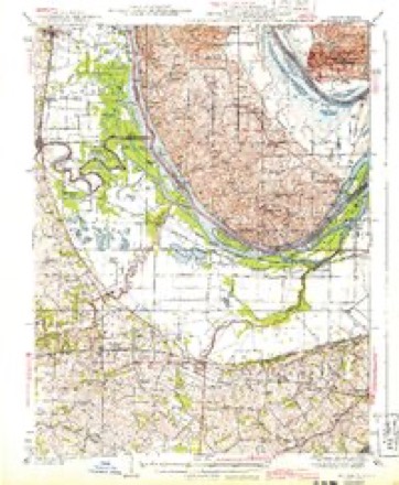
- 1962 USGS St. Louis quadrangle1:250000
- 1963 USGS St. Louis quadrangle1:250000, 4 printings
- 1966 USGS St. Louis quadrangle1:250000
- 1985 USGS St Louis quadrangle1:100000, 3 printings
- 1994 USGS Kampville quadrangle1:24000






Fires near this place
2 since 2016Regional context, not property-specific evidence. The federal wildfire occurrence database lists 2 fires within 5 miles of Peruque between 2016 and 2017, burning under an acre in total. None started naturally. None was recorded as arson. Distance is straight-line from the map coordinates, so a fire counted here may appear on a neighbouring settlement's page as well.
| Reported cause | Fires |
|---|---|
| Debris and open burning | 2 |
The most recent of them, most recent first, with the day each was reported and the service that recorded it.
| Date | Cause | Size | Reported by | Name on the report |
|---|---|---|---|---|
| 28 November 2017 | Debris and open burning | under an acre | Illinois Division of Forestry Resources | BEN TEPPEN 201713 |
| 15 October 2016 | Debris and open burning | under an acre | Illinois Division of Forestry Resources | POLMANS FIELD |
Settlements close enough to share some of these fires:
Mines and quarries near this place
4 within 5 milesRegional context, not property-specific evidence. The federal mineral resources record lists 4 workings within 5 miles of Peruque: 4 past producers. None of them still produces. What was taken out: Stone, Crushed/Broken. Distance is straight-line from the map coordinates, so a quarry counted here may appear on a neighbouring settlement's page as well.
| Where | Site | Commodity | Status | Recorded |
|---|---|---|---|---|
| Calhoun Quarry | Stone, Crushed/Broken | Past Producer | ||
| Golden Eagle Quarry | Stone, Crushed/Broken | Past Producer | ||
| Unk | Stone, Crushed/Broken | Past Producer | ||
| Unk | Stone, Crushed/Broken | Past Producer |
Storms near this place
4 since 2000Regional context, not property-specific evidence. The National Weather Service names Peruque in 4 storm reports between 2000 and 2015: 1 thunderstorm wind, 1 flash flood, 1 flood, 1 tornado. No death or injury is recorded in these reports. Each account below is quoted exactly as the forecast office filed it, from the NOAA Storm Events Database, and each date opens the federal record of that event.
| When | Event | Place named | Harm | What the report says |
|---|---|---|---|---|
| April 2013 | Flood | Peruque | $10,000 | The Mississippi River rose to major flood levels along the border of St. Charles County. The river crested on April 25th but remained above flood stage into May. Flooding at the St. Charles Smartt Field Airport caused the National Weather Service to remove the Automated Surface Observing System (ASOS). Damage was limited to fishing cabins along the river, some road closures, and agricultural lowlands. |
| June 2015 | Tornado (EF2) | Peruque | - | Tornado touched down 1.2 miles northwest of the intersection of Silvers Road and Highway C. The tornado traveled to the southeast. About half a mile west northwest of the intersection of Silvers Road and Highway C, a large outbuilding was destroyed, numerous trees snapped off and a house sustained moderate window, roof and siding damage. On the south side of Silvers road, a mobile home just had a few shingles blown off, but a small shed on the backside of mobile home was destroyed. Just a little further east and southeast, there was a convergent pattern in the corn field and a couple of power poles were snapped. The tornado crossed Highway C about a third of a mile south of the intersection of Highway C and Silvers Road. In this location, on the east side of the highway, a house sustained considerable damage. Most of the roof was removed, but the walls remained standing. Also, several power poles were snapped off along Highway C. Just north of the house, a large shed was destroyed and numerous trees were snapped off. The tornado then began to take a more easterly track. Just sporadic tree damage was observed along this section, as well as a couple of power poles that were leaning. The tornado then lifted and dissipated one mile east southeast of the intersection of Highway C and Silvers Road. Overall, the tornado was rated EF2 with a path length of 2.26 miles and a max path width of 400 yards. |
| June 2011 | Flash Flood | Peruque | - | Up to six inches of rain fell onto already saturated soils causing flash flooding. Numerous roads were flooded including Highway N between Weiss Road and Dardenne Farms Drive. Several locations in St. Charles had to be evacuated due to flash flooding. Residents of an 80 unit apartment complex on Cole Boulevard were evacuated after basement and ground floor apartments flooded with more than 2 feet of water. Also, houses on Hawthorn Avenue were evacuated as flood waters rose very quickly. |
| May 2000 | Thunderstorm Wind | Peruque | - | Storm spotters reported trees down at Highway B and C. |
Nearest settlements
The eight closest, with where each one stands in the county. Distances are straight-line, computed from the Geographic Names Information System coordinates.
| Map | Place | Distance | Sheets |
|---|---|---|---|
| McCann Landing | 0.6 miles | 28 | |
| Kampville | 3.5 miles | 28 | |
| Seebarger | 3.5 miles | 28 | |
| Firma | 3.9 miles | 27 | |
| South Shore | 4.5 miles | 28 | |
| Saint Peters | 4.8 miles | 29 | |
| Seeburger | 5.2 miles | 28 | |
| Vans Camp | 5.3 miles | 27 |
Provenance
This settlement is recorded in the Geographic Names Information System as feature 756520. The sheet list is computed by point-in-boundary test against the United States Geological Survey's historical topographic inventory. Both are works of the United States government and carry no copyright under 17 U.S.C. 105.
Wildfire. Short, Karen C. 2022. Spatial wildfire occurrence data for the United States, 1992-2020 [FPA_FOD_20221014]. 6th Edition. Fort Collins, CO: Forest Service Research Data Archive. https://doi.org/10.2737/RDS-2013-0009.6 Collected with United States Government funding and usable without additional permissions or fees.
Mines and quarries. USGS Mineral Resources Data System (MRDS) https://mrdata.usgs.gov/mrds/ A work of the United States government, no copyright under 17 U.S.C. 105.
Storms. NOAA National Centers for Environmental Information, Storm Events Database https://www.ncei.noaa.gov/stormevents/ A work of the United States government, no copyright under 17 U.S.C. 105. Narratives are quoted verbatim from the National Weather Service report and are not edited or summarised.