 Block
Millwood, Missouri
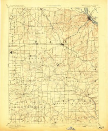
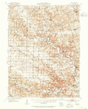
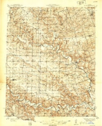
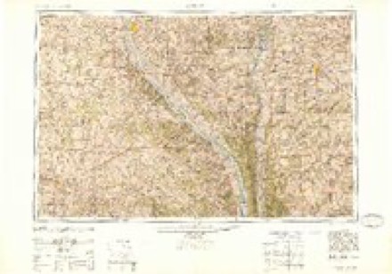
16 topographic sheets cover this place, the earliest surveyed in 1890 and the latest in 1986. It stands in Millwood Township. It lies in ZIP code area 63377. The Survey maps it on the Silex quadrangle.
Topographic sheets covering this place
7 surveys from 16 printed sheetsMatched by testing this settlement's coordinate against the published boundary of every sheet in the United States Geological Survey's historical collection. Each opens the scanned sheet at the Survey.
- 1890 USGS Louisiana quadrangle1:125000, 5 printings
- 1937 USGS Silex quadrangle1:62500
- 1939 USGS Silex quadrangle1:48000
- 1948 USGS Quincy quadrangle1:250000, 2 printings
- 1956 USGS Quincy quadrangle1:250000, 3 printings
- 1975 USGS Silex quadrangle1:24000, 2 printings
- 1986 USGS Mexico quadrangle1:100000, 2 printings
In the county-history sources
13,059 words on this townshipHistory of Lincoln County, Missouri, from the Earliest Time to the Present, published 1888 names this settlement in its chapter on Millwood Township. These are the passages that mention it, exactly as the scans read.
At present the village contains the general store above mentioned and two drug stores, kept respectively by Drs. H. B. Wommack and J. D. Mudd. The former, in 1871, established the first drug store ever kept in the place. The physicians of Millwood are the druggists here mentioned. Since the village was founded other business enterprises have existed. In 1866 William R. Mattingly commenced the business of wagon-making and blacksmithing, and in 1876 R. M. Elder opened a boot and shoe shop, and for a time J. Emmet Cummings sold drygoods and farm implements. Millwood has two schools, public and select. The latter is a high school wherein instruction in the higher branches is given. Prof. C. B. M. Thurmond, the efficient principal, has just closed the high school for the last year, and has given good satisfaction to his patrons. With the exception of a few years during the excitement of the war period, the postoffice has remained in the hands of the Mudds. Dr. £L
Passage source: History of Lincoln County, Missouri, from the Earliest Time to the Present, published 1888.
P. Mudd, the first postmaster, held the office at his dwelling house until some time during the war, when he was succeeded by William F. Elder. The latter was succeeded by James E. Mudd and he by Daniel H. Mudd, the present incumbent. Millwood is surrounded with a very good farming country, but being situated as it is within three and one-half miles of Silex. a leading shipping point on the railroad, it is destined to continue only a small village. A few things will remain with it, among which may be mentioned the large general store of Judge Mudd & Son, and the Roman Catholic Church and the convent school. The church and school will be mentioned elsewhere in this work. The history of Millwood would not be complete without a personal mention of its founder, Joseph S. Wells, who Avas one of the pioneer settlers of the county, and who taught the first schools in the Millwood neighborhood. After leaving Millwood he went to Olney, and founded that village. He became a Baptist minister, did much good in the cause of Christianity, and was well liked by all who knew him. His wTife was a Miss Sands, whom he married about the year 1844. After completing a period of very useful citizenship in this county, he moved to Texas, where he remained until his death.
Passage source: History of Lincoln County, Missouri, from the Earliest Time to the Present, published 1888.
Bon keep a general stoic, and also a lumber-yard. The other business of the town is as follows: Hardware, J, S. Donaldson; grocery, J. I>. Henry; furniture and undertaking goods, W. S. Henry; drugs, Dr. (1. I*. Smiley; grocery and restaurant, \j. C. ELimbler; blacksmith ing, H. W. King; barness and shoemaker, Samuel Wirz; hotel, T. A. Ifattingly; millinery, Miss Bettie Hudson; agricultural implements, J. E. Cummins; livery, Walker & Hall; hardware and blacksmith ing, J. N. Mudd; grain dealers, H. T. Mudd & Son, and .). Overstreet; postmaster, L. C. Kimbler; corn mill, T. B. Duncan; wool-carding mill, Gus Elder. On the railroad stands a neat and convenient passenger and freight depot, the water-tank and a large grain warehouse. There is also one church (Baptist) and a public schoolhouse. Silex is situated on a beautiful, level site in the valley of the Cuivre, about half a mile from the big iron bridge on the road leading to Millwood and Olney. It is the principal outlet for a large tract of good agricultural lands, especially in the western part of the county, and consequently will remain a permanent business place, and improve with the country around it.
Passage source: History of Lincoln County, Missouri, from the Earliest Time to the Present, published 1888.
Machine-read from a century-old scan, so expect the errors a machine makes: misspelled names, dropped words, stray characters.
Read the whole chapter on Millwood Township - it names this place 1 more 1 time.
Fires near this place
2 since 1994Regional context, not property-specific evidence. The federal wildfire occurrence database lists 2 fires within 5 miles of Millwood between 1994 and 1997, burning about 6 acres in total. None started naturally. None was recorded as arson. Distance is straight-line from the map coordinates, so a fire counted here may appear on a neighbouring settlement's page as well.
| Reported cause | Fires |
|---|---|
| Debris and open burning | 1 |
| Missing data/not specified/undetermined | 1 |
The most recent of them, most recent first, with the day each was reported and the service that recorded it.
| Date | Cause | Size | Reported by | Name on the report |
|---|---|---|---|---|
| 28 March 1997 | Debris and open burning | 1.0 acres | Missouri Department of Conservation | not named |
| 2 December 1994 | Missing data/not specified/undetermined | 5.0 acres | Missouri Department of Conservation | not named |
Settlements close enough to share some of these fires:
Mines and quarries near this place
7 within 5 milesRegional context, not property-specific evidence. The federal mineral resources record lists 7 workings within 5 miles of Millwood: 7 past producers. None of them still produces. What was taken out: Clay, Stone, Crushed/Broken. Distance is straight-line from the map coordinates, so a quarry counted here may appear on a neighbouring settlement's page as well.
| Where | Site | Commodity | Status | Recorded |
|---|---|---|---|---|
| Gessman Quarry | Stone, Crushed/Broken | Past Producer | ||
| Unknown Ls | Stone, Crushed/Broken | Past Producer | ||
| Unknown Ls | Stone, Crushed/Broken | Past Producer | ||
| Unknown Clay | Clay | Past Producer | ||
| Unknown Clay | Clay | Past Producer | ||
| Unknown Clay | Clay | Past Producer | ||
| Unknown Clay | Clay | Past Producer |
Storms near this place
2 since 2006Regional context, not property-specific evidence. The National Weather Service names Millwood in 2 storm reports between 2006 and 2011: 1 tornado, 1 flash flood. No death or injury is recorded in these reports. Each account below is quoted exactly as the forecast office filed it, from the NOAA Storm Events Database, and each date opens the federal record of that event.
| When | Event | Place named | Harm | What the report says |
|---|---|---|---|---|
| June 2011 | Flash Flood | Millwood | - | Up to four inches of rain fell in a short amount of time onto already saturated soils causing flash flooding. Numerous roads were flooded including Highways C and H, as well as Gravens Road and South Chantilly Road. |
| March 2006 | Tornado (F1) | Millwood | - | A small tornado hit along Highway E about 1 mile east of Millwood. A barn and 2 grain bins were destroyed. Several other buildings had roof damage. |
Nearest settlements
The eight closest, with where each one stands in the county. Distances are straight-line, computed from the Geographic Names Information System coordinates.
| Map | Place | Distance | Sheets |
|---|---|---|---|
| Silex | 3.1 miles | 16 | |
| Mackville | 3.9 miles | 16 | |
| Corso | 4.6 miles | 15 | |
| Hopkinsville | 4.9 miles | 16 | |
| Briscoe | 5.2 miles | 16 | |
| Davis | 5.5 miles | 16 | |
| Stepanek Crossing | 6.1 miles | 16 | |
| Fairview | 6.2 miles | 16 |
Provenance
This settlement is recorded in the Geographic Names Information System as feature 735726. The sheet list is computed by point-in-boundary test against the United States Geological Survey's historical topographic inventory. Both are works of the United States government and carry no copyright under 17 U.S.C. 105.
Wildfire. Short, Karen C. 2022. Spatial wildfire occurrence data for the United States, 1992-2020 [FPA_FOD_20221014]. 6th Edition. Fort Collins, CO: Forest Service Research Data Archive. https://doi.org/10.2737/RDS-2013-0009.6 Collected with United States Government funding and usable without additional permissions or fees.
Mines and quarries. USGS Mineral Resources Data System (MRDS) https://mrdata.usgs.gov/mrds/ A work of the United States government, no copyright under 17 U.S.C. 105.
Storms. NOAA National Centers for Environmental Information, Storm Events Database https://www.ncei.noaa.gov/stormevents/ A work of the United States government, no copyright under 17 U.S.C. 105. Narratives are quoted verbatim from the National Weather Service report and are not edited or summarised.