 Block
Montserrat, Missouri
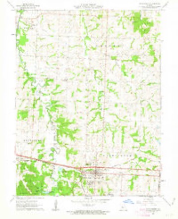
23 topographic sheets cover this place, the earliest surveyed in 1885 and the latest in 1983. It stands in Montserrat Township. It lies in ZIP code area 65336. The Survey maps it on the Knob Noster quadrangle.
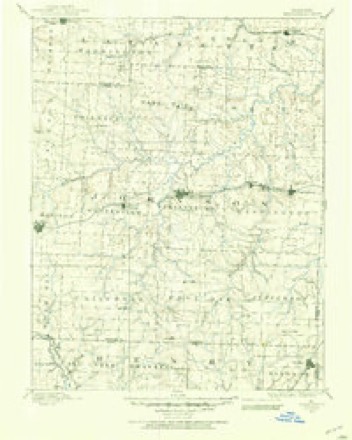
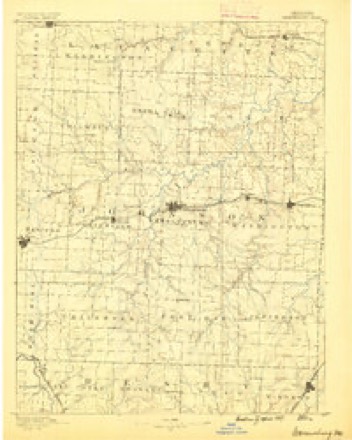
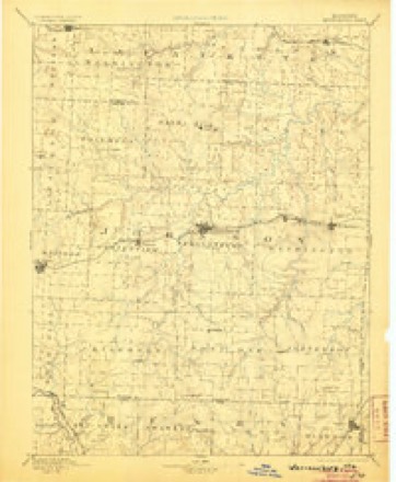
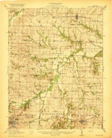
Topographic sheets covering this place
11 surveys from 23 printed sheetsMatched by testing this settlement's coordinate against the published boundary of every sheet in the United States Geological Survey's historical collection. Each opens the scanned sheet at the Survey.
- 1885 USGS Warrensburg quadrangle1:125000
- 1887 USGS Warrensburg quadrangle1:125000
- 1894 USGS Warrensburg quadrangle1:125000, 5 printings
- 1917 USGS Knobnoster quadrangle1:62500, 3 printings
- 1947 USGS Jefferson City quadrangle1:250000
- 1954 USGS Jefferson City quadrangle1:250000, 2 printings
- 1955 USGS Jefferson City quadrangle1:250000, 4 printings
- 1958 USGS Jefferson City quadrangle1:250000
- 1959 USGS Jefferson City quadrangle1:250000
- 1962 USGS Knob Noster quadrangle1:24000, 3 printings
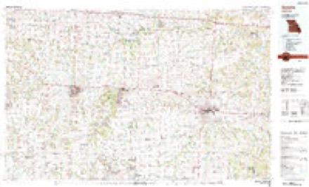
- 1983 USGS Sedalia quadrangle1:100000





In the county-history sources
297 words on this townshipHistory of Johnson County, Missouri, published 1918 names this settlement in its chapter on Montserrat Township. These are the passages that mention it, exactly as the scans read.
"Montserrat" was an old world name given to the town by James A. Gallaher wdien he laid it out. The township received the same name. Montserrat is on the main line of the Missouri Pacific railroad about six miles east of Warrensburg. It is in section 13, township 46. range 25 and was laid out August 24. 1870, by John A. Gallaher. It is in the midst of a valuable coal field and coal has been mined in this vicinity for a number of years. Mines were first worked about 1863. the first mining being done in drifts along the Clear Fork creek. The first shafts were sunk in this vicinity in 1866 by the Missouri Pacific Railroad Coal Company and other companies and private individuals have operated here with varying degrees of success for the past fifty years. In the earlv historv of the village of ^Montserrat. the following were among the first business men: W. H. Anderson, was a carpenter and justice of the peace; C. B. Baker kept a saloon, and was also postmaster; Thomas Boyd was a merchant and coal operator: John A. Gallaher was a coal operator: Dr. John W. Gallaher was a physician: Dr. J. L. Lea was also a physician : Lea & Gallaher kept a drug store : Lea & Mayes kept a grocery store: S. J. LaRue also kept a grocery store; H. B. McCracken was a drayman; and D. S. Williams kept a butcher shop. J. C. Cooper (colored, an ex-Union soldier and a good man) was one of the pioneer blacksmiths. There seems to have been a surplus of saloons in the town in the early days. In addition to the postmaster, John Gibson, George James and George Penn kept saloons here at the same time.
Passage source: History of Johnson County, Missouri, published 1918.
Machine-read from a century-old scan, so expect the errors a machine makes: misspelled names, dropped words, stray characters.
Fires near this place
40 since 2003Regional context, not property-specific evidence. The federal wildfire occurrence database lists 40 fires within 5 miles of Montserrat between 2003 and 2020, burning about 247 acres in total. None started naturally. 1 was recorded as arson. Distance is straight-line from the map coordinates, so a fire counted here may appear on a neighbouring settlement's page as well.
| Reported cause | Fires |
|---|---|
| Missing data/not specified/undetermined | 22 |
| Debris and open burning | 7 |
| Equipment and vehicle use | 5 |
| Recreation and ceremony | 2 |
| Other causes | 2 |
| Arson/incendiarism | 1 |
| Smoking | 1 |
The most recent of them, most recent first, with the day each was reported and the service that recorded it.
| Date | Cause | Size | Reported by | Name on the report |
|---|---|---|---|---|
| 9 September 2003 | Equipment and vehicle use | 1.0 acres | Missouri State Fire Marshal's Office | not named |
| 8 September 2003 | Missing data/not specified/undetermined | 21 acres | Missouri State Fire Marshal's Office | not named |
| 5 September 2003 | Missing data/not specified/undetermined | under an acre | Missouri State Fire Marshal's Office | not named |
| 5 September 2003 | Missing data/not specified/undetermined | under an acre | Missouri State Fire Marshal's Office | not named |
| 25 September 2018 | Missing data/not specified/undetermined | 2.1 acres | Missouri Department of Conservation | 177832-05130-09252018-1508 |
| 2 September 2018 | Missing data/not specified/undetermined | under an acre | Missouri Department of Conservation | 177643-05130-09022018-1203 |
| 10 September 2018 | Missing data/not specified/undetermined | under an acre | Missouri Department of Conservation | 177655-05130-09102018-1345 |
| 9 August 2018 | Smoking | under an acre | Missouri Department of Conservation | 177511-05130-08092018-1447 |
Settlements close enough to share some of these fires:
Mines and quarries near this place
8 within 5 milesRegional context, not property-specific evidence. The federal mineral resources record lists 8 workings within 5 miles of Montserrat: 7 past producers, 1 producer. 1 still produces. What was taken out: Stone, Crushed/Broken, Clay. Distance is straight-line from the map coordinates, so a quarry counted here may appear on a neighbouring settlement's page as well.
| Where | Site | Commodity | Status | Recorded |
|---|---|---|---|---|
| Boyd Shale Pit | Clay | Past Producer | ||
| Montserrat Quarry | Stone, Crushed/Broken | Producer | ||
| Unknown - Ls. | Stone, Crushed/Broken | Past Producer | ||
| Unknown - Ls. | Stone, Crushed/Broken | Past Producer | ||
| Unknown - Ls. | Stone, Crushed/Broken | Past Producer | ||
| Unknown - Ls. | Stone, Crushed/Broken | Past Producer | ||
| Unknown - Ls. | Stone, Crushed/Broken | Past Producer | ||
| Unknown - Ls. | Stone, Crushed/Broken | Past Producer |
Storms near this place
8 since 1996Regional context, not property-specific evidence. The National Weather Service names Montserrat in 8 storm reports between 1996 and 2019: 4 hail, 2 thunderstorm wind, 1 tornado, 1 flash flood. No death or injury is recorded in these reports. Each account below is quoted exactly as the forecast office filed it, from the NOAA Storm Events Database, and each date opens the federal record of that event.
| When | Event | Place named | Harm | What the report says |
|---|---|---|---|---|
| June 2019 | Thunderstorm Wind | Montserrat | - | A trained spotter reported 63 mph measured wind near Warrensburg. |
| July 2015 | Flash Flood | Montserrat | - | Highway 50 flooded due to Bear Creek flowing over the roadway. |
| March 2014 | Hail | Montserrat | - | Also reported 60 to 70 mph winds and small tree branches down. |
| March 2014 | Thunderstorm Wind | Montserrat | - | Small tree limbs were knocked down. |
| March 2006 | Tornado (F0) | Montserrat | - | F0 tornado touched down at 1951 CST in rural areas with minimal damage. The tornado crossed into Pettis county at 2002 CST. |
| March 2014 | Hail | Montserrat | - | no account filed |
| May 2009 | Hail | Montserrat | - | no account filed |
| May 1996 | Hail | Montserrat | - | no account filed |
Nearest settlements
The eight closest, with where each one stands in the county. Distances are straight-line, computed from the Geographic Names Information System coordinates.
| Map | Place | Distance | Sheets |
|---|---|---|---|
| Carbon Hill | 0.8 miles | 23 | |
| Knob Noster | 3.4 miles | 23 | |
| Bristle Ridge | 4.6 miles | 20 | |
| Warrensburg | 6.1 miles | 22 | |
| Valley City | 6.3 miles | 23 | |
| Pertle Springs | 6.5 miles | 20 | |
| Blackwater (historical) | 6.5 miles | 22 | |
| Burtville | 6.8 miles | 19 |
Provenance
This settlement is recorded in the Geographic Names Information System as feature 729779. The sheet list is computed by point-in-boundary test against the United States Geological Survey's historical topographic inventory. Both are works of the United States government and carry no copyright under 17 U.S.C. 105.
Wildfire. Short, Karen C. 2022. Spatial wildfire occurrence data for the United States, 1992-2020 [FPA_FOD_20221014]. 6th Edition. Fort Collins, CO: Forest Service Research Data Archive. https://doi.org/10.2737/RDS-2013-0009.6 Collected with United States Government funding and usable without additional permissions or fees.
Mines and quarries. USGS Mineral Resources Data System (MRDS) https://mrdata.usgs.gov/mrds/ A work of the United States government, no copyright under 17 U.S.C. 105.
Storms. NOAA National Centers for Environmental Information, Storm Events Database https://www.ncei.noaa.gov/stormevents/ A work of the United States government, no copyright under 17 U.S.C. 105. Narratives are quoted verbatim from the National Weather Service report and are not edited or summarised.