 Block
Post Oak, Missouri
19 topographic sheets cover this place, the earliest surveyed in 1885 and the latest in 1983. It stands in Post Oak Township. It lies in ZIP code area 64761. The Survey maps it on the Chilhowee quadrangle.
Topographic sheets covering this place
10 surveys from 19 printed sheetsMatched by testing this settlement's coordinate against the published boundary of every sheet in the United States Geological Survey's historical collection. Each opens the scanned sheet at the Survey.
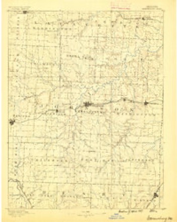
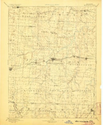
- 1885 USGS Warrensburg quadrangle1:125000
- 1887 USGS Warrensburg quadrangle1:125000
- 1894 USGS Warrensburg quadrangle1:125000, 5 printings
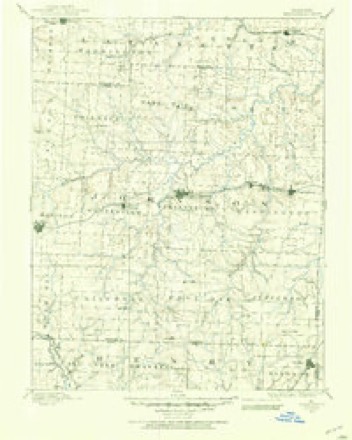
- 1947 USGS Jefferson City quadrangle1:250000
- 1954 USGS Jefferson City quadrangle1:250000, 2 printings
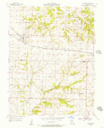
- 1955 USGS Chilhowee quadrangle1:24000, 2 printings
- 1955 USGS Jefferson City quadrangle1:250000, 4 printings
- 1958 USGS Jefferson City quadrangle1:250000
- 1959 USGS Jefferson City quadrangle1:250000
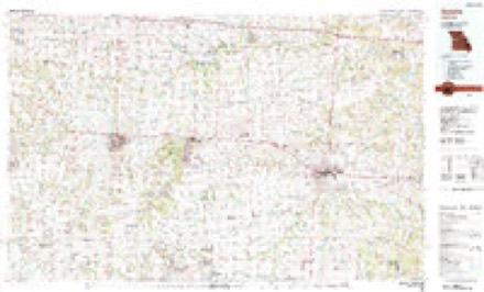
- 1983 USGS Sedalia quadrangle1:100000





In the county-history sources
6,939 words on this townshipThe History of Johnson County, Missouri : Including a Reliable History of the Townships, Cities, and Towns, Together with a Map of the County; a Condensed History of Missouri; the State Constitution; an Abstract of the Most Important Laws; the Physical Features of the County; the Early Settlers and Pioneers; the Political and War History; the Religious and Educational History...statistics and Miscellaneous Matters, Etc., Etc, published 1881 names this settlement in its chapter on Post Oak Township. These are the passages that mention it, exactly as the scans read.
January 6, 1806, in the Canton of Neuchattel, Switzerland, the son of David L. Des Combes, who died in St. Louis county, this state. At the age of fourteen he came with his parents to America, embarking from Holland, and touching on the south shore of Greenland, thence through Hudson's Bay to the mouth of Nelson river. Here they disembarked and proceeded up the river by means of boats until they reached lake Winnepeg, thence proceeding up the Red River of the North, sometimes rowing up the current of streams and across lakes, then hauling the boat after them across a " carry " to the next body of water, and thus proceed¬ ing until they were far in the wilds of the northern wilderness. Here the family remained one summer and two frozen winters, subsisting a portion of the time on dried buffalo meat procured from the savages, and fish which they took from the river after having cut through ice from six to eight feet in thickness. Dissatisfied, they determined to proceed south into the United States. Accordingly, in the spring of 1823, they started on their perilous journey through the trackless forest, sometimes by river and sometimes by land, till they reached the source of St. Peter's river. At this point the father cut down a large tree and 'made a canoe in which the family proceeded until they reached Fort Snelling, destitute of the necessaries of life. When the youthful Des Combes was presented a loaf of bread by the garrison of the fort, he threw up his arms in joyful glee and exclaimed: "Thank the Lord, here is bread once more." They proceeded down the Mississippi river and settled at St. Louis when the great metropolis was scarcely larger than Warrensburg. He mar¬ ried Martha A. Wash on the sixth day of April, 1837, and the following are the names of the children, five of whom are still living: Thomas L., Mary L., Adelia A., Charles E., William F., Virginia E., Rachel R., Martha Day, John N., Susan Rand, Eugene. When Mr. Des Combes first came to Post Oak township, in 1856, his present well cultivated farm was an open prairie, without tree or fence. His farm consists of about 500 acres of fine land, well fenced, with orchards and groves, large and elegant house and barns, all of which have been the result of his own labor and enterprise. Mr. and Mrs. Des Combes, though well advanced in years, enjoy reasonable good health, and have the satisfaction of seeing their children grow up to honor and usefulness. To give one-half of the history of this eventful life would require a volume in itself, and to do jus¬ tice to such a subject would overstep the limits of time and space intended in this work. We cannot, however, refrain from recording the fact that C. L. Des Combes became a member of the Old School Presbyterian church before he left Switzerland, and has been a member since that date. His wife is a member of the Methodist Episcopel church south, having been received into that religious organization in September, 1832, while living in Virginia. One of his sons, Charles E., lives in Georgia; he was a soldier in the confederate army, and served under Gen. F. M. Cockrell. The vessel which brought the Des Combes family from Europe to America was three months on the voyage to the mouth of Nelson river, and three months more were consumed in the journey up the river to their first settlement, on the Red River of the North. Mr. Des Combes, in 1850, made a trip to California, crossing the plains, and returning by way of the isthmus and New York city. During fifty-two years of ceaseless activity, as a man delighting in manual labor, he knew not a day's sickness, though the weight of years is peceptible in his weakening frame.
Among the enterprising farmers and public-spirited citizens of Post Oak township is Mr. Abner Grinstead. He is a man of idividuality and gener¬ ous impulses towards all persons with whom he associates. Reared in Missouri, he may well be taken as a fair representative of that character so much admired in public and private life. On February 26, 1829, Mad¬ ison county, Kentucky, he was born ; but his parents removed to Calla¬ way county, Missouri, when he was only eighteen' months old. In about three years thereafter they removed to Pettis county, where most of young Grinstead's boyhood days were spent, during a small portion of which time he attended the district school in his own neighborhood. He was married to Miss Charity A. Wells, daughter of Col. Ransom Wells, November 17, 1853. The names of their children are as follows: Mary Alice, now wife of Paschal Henshaw, living in Vernon county; Jesse Ran¬ som, and Abner Rector. By industry and economy Mr. Grinstead has accumulated a good property. He owns 260 acres of land, 205 of which are under excellent cultivation. An orchard of about three acres of bear¬ ing apple and peach trees, a fine house with barn and adjacent buildings, a flock of fifty to one hundred sheep, sixty head of hogs, 110 acres of corn, a large herd of cattle, and every facility for operating his farm, are among the resources which contribute to his wealth and enjoyment. When Mr. Grinstead first came to this township, he purchased land near the present site of Cornelia, but soon after removed to his present residence. Newton Chrisman entered the eighty acres of government land where Mr. G. now lives. The father of our subject, Jesse C. Grinstead, was born in Decem¬ ber, 1798, near Richmond, Virginia. Although a mere boy he served m the last war with Great Britain, being stationed for a time at Norfolk. He now draws pension as a veteran soldier of that war. The »vife of this aged pioneer is also living with her husband, in Pettis county. It is remarkable how they have withstood the toil and experience of so many years, and still live to see their descendants respected, prosperous and happv.
The subject of this brief sketch was born in this county, Nov. 21, 1844, son of B. F. Wall, one of the first settlers in this neighborhood. S. E. Wall was married in Pettis county Oct. 2, 1869, to Miss Alice Gray, daughter of John T. Gray; she was born in that county in 1847. In 1869, he commenced farming for himself, and in the spring of 1871, came to his present farm. His home is beautifully located on his farm of 151 acres, the house costing about $3,000, is one of the finest in Post Oak township. He is a faithful member of the Baptist church, an intelligent, energetic and generous hearted worker in every good cause.
Machine-read from a century-old scan, so expect the errors a machine makes: misspelled names, dropped words, stray characters.
Read the whole chapter on Post Oak Township - it names this place 7 more 7 times.
Fires near this place
30 since 2002Regional context, not property-specific evidence. The federal wildfire occurrence database lists 30 fires within 5 miles of Post Oak between 2002 and 2020, burning about 118 acres in total. 1 started naturally. 2 were recorded as arson. Distance is straight-line from the map coordinates, so a fire counted here may appear on a neighbouring settlement's page as well.
| Reported cause | Fires |
|---|---|
| Missing data/not specified/undetermined | 15 |
| Debris and open burning | 10 |
| Arson/incendiarism | 2 |
| Natural | 1 |
| Equipment and vehicle use | 1 |
| Recreation and ceremony | 1 |
The most recent of them, most recent first, with the day each was reported and the service that recorded it.
| Date | Cause | Size | Reported by | Name on the report |
|---|---|---|---|---|
| 3 August 2018 | Missing data/not specified/undetermined | 1.1 acres | Missouri Department of Conservation | 177510-05130-08032018-1404 |
| 3 August 2018 | Missing data/not specified/undetermined | 1.0 acres | Missouri Department of Conservation | 177509-05130-08032018-0639 |
| 3 August 2003 | Missing data/not specified/undetermined | 3.0 acres | Missouri State Fire Marshal's Office | not named |
| 27 August 2003 | Debris and open burning | under an acre | Missouri State Fire Marshal's Office | not named |
| 21 August 2003 | Natural | under an acre | Missouri State Fire Marshal's Office | not named |
| 2 August 2018 | Missing data/not specified/undetermined | 1.0 acres | Missouri Department of Conservation | 177507-05130-08022018-1537 |
| 18 August 2003 | Recreation and ceremony | 3.0 acres | Missouri State Fire Marshal's Office | not named |
| 12 August 2003 | Debris and open burning | 10 acres | Missouri State Fire Marshal's Office | not named |
Settlements close enough to share some of these fires:
Mines and quarries near this place
3 within 5 milesRegional context, not property-specific evidence. The federal mineral resources record lists 3 workings within 5 miles of Post Oak: 2 past producers, 1 unknown. None of them still produces. What was taken out: Stone, Crushed/Broken. Distance is straight-line from the map coordinates, so a quarry counted here may appear on a neighbouring settlement's page as well.
| Where | Site | Commodity | Status | Recorded |
|---|---|---|---|---|
| Leeton Qsuarry | Stone, Crushed/Broken | Unknown | ||
| Unknown - Ls. | Stone, Crushed/Broken | Past Producer | ||
| Williams Rock Mng. Co. # 1 | Stone, Crushed/Broken | Past Producer |
Storms near this place
1 since 2018Regional context, not property-specific evidence. The National Weather Service names Post Oak in 1 storm report in 2018: 1 hail. No death or injury is recorded in these reports. Each account below is quoted exactly as the forecast office filed it, from the NOAA Storm Events Database, and each date opens the federal record of that event.
| When | Event | Place named | Harm | What the report says |
|---|---|---|---|---|
| June 2018 | Hail | Post Oak | - | no account filed |
Nearest settlements
The eight closest, with where each one stands in the county. Distances are straight-line, computed from the Geographic Names Information System coordinates.
| Map | Place | Distance | Sheets |
|---|---|---|---|
| Leeton | 3.1 miles | 19 | |
| Cornelia | 5.2 miles | 20 | |
| Chilhowee | 5.6 miles | 19 | |
| Old Chilhowee | 5.9 miles | 19 | |
| New Castle | 6.1 miles | 19 | |
| Henrietta | 7.4 miles | 19 | |
| Sutherland | 8.5 miles | 19 | |
| Bowmansville | 9.7 miles | 20 |
Elsewhere
Matched on this settlement's Geographic Names Information System number rather than its name, so it cannot be a different place of the same name in another state.
| Wikipedia article on Post Oak | An encyclopaedic summary. Its text is share-alike, so it is linked here rather than copied. |
| Wikidata item Q16898799 | The structured record the population and elevation above come from. Public domain (CC0). |
Provenance
This settlement is recorded in the Geographic Names Information System as feature 729801. The sheet list is computed by point-in-boundary test against the United States Geological Survey's historical topographic inventory. Both are works of the United States government and carry no copyright under 17 U.S.C. 105.
Wildfire. Short, Karen C. 2022. Spatial wildfire occurrence data for the United States, 1992-2020 [FPA_FOD_20221014]. 6th Edition. Fort Collins, CO: Forest Service Research Data Archive. https://doi.org/10.2737/RDS-2013-0009.6 Collected with United States Government funding and usable without additional permissions or fees.
Mines and quarries. USGS Mineral Resources Data System (MRDS) https://mrdata.usgs.gov/mrds/ A work of the United States government, no copyright under 17 U.S.C. 105.
Storms. NOAA National Centers for Environmental Information, Storm Events Database https://www.ncei.noaa.gov/stormevents/ A work of the United States government, no copyright under 17 U.S.C. 105. Narratives are quoted verbatim from the National Weather Service report and are not edited or summarised.