 Block
Olney, Missouri
16 topographic sheets cover this place, the earliest surveyed in 1890 and the latest in 1986. It stands in Nineveh Township. It lies in ZIP code area 63359. It stands on Brush Creek. The Survey maps it on the Truxton quadrangle. It stands 709 feet above sea level.
Topographic sheets covering this place
7 surveys from 16 printed sheetsMatched by testing this settlement's coordinate against the published boundary of every sheet in the United States Geological Survey's historical collection. Each opens the scanned sheet at the Survey.
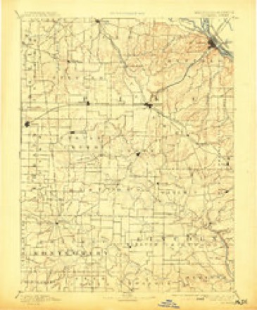
- 1890 USGS Louisiana quadrangle1:125000, 5 printings
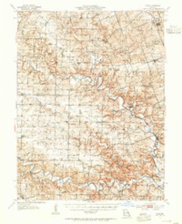
- 1937 USGS Silex quadrangle1:62500
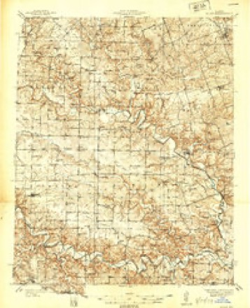
- 1939 USGS Silex quadrangle1:48000
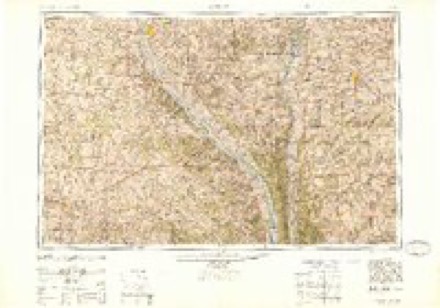
- 1948 USGS Quincy quadrangle1:250000, 2 printings
- 1956 USGS Quincy quadrangle1:250000, 3 printings
- 1975 USGS Truxton quadrangle1:24000, 2 printings
- 1986 USGS Mexico quadrangle1:100000, 2 printings
Fires near this place
1 since 1992Regional context, not property-specific evidence. The federal wildfire occurrence database lists 1 fire within 5 miles of Olney in 1992, burning about 1 acre in total. None started naturally. None was recorded as arson. Distance is straight-line from the map coordinates, so a fire counted here may appear on a neighbouring settlement's page as well.
| Reported cause | Fires |
|---|---|
| Smoking | 1 |
The most recent of them, most recent first, with the day each was reported and the service that recorded it.
| Date | Cause | Size | Reported by | Name on the report |
|---|---|---|---|---|
| 26 February 1992 | Smoking | 1.0 acres | Missouri Department of Conservation | not named |
Settlements close enough to share some of these fires:
Mines and quarries near this place
8 within 5 milesRegional context, not property-specific evidence. The federal mineral resources record lists 8 workings within 5 miles of Olney: 7 past producers, 1 unknown. None of them still produces. What was taken out: Fire Clay (Refractory), Sand and Gravel, Construction, Clay. Distance is straight-line from the map coordinates, so a quarry counted here may appear on a neighbouring settlement's page as well.
| Where | Site | Commodity | Status | Recorded |
|---|---|---|---|---|
| Unknown Clay | Clay | Past Producer | ||
| Unknown - Sand & Gravel | Sand and Gravel, Construction | Past Producer | ||
| Unknown S&G | Sand and Gravel, Construction | Past Producer | ||
| Unknown S&G | Sand and Gravel, Construction | Past Producer | ||
| Northern Fire Clay District | Fire Clay (Refractory) | Unknown | ||
| Unknown - Clay | Fire Clay (Refractory) | Past Producer | ||
| Unknown - Clay | Fire Clay (Refractory) | Past Producer | ||
| Unknown - Clay | Fire Clay (Refractory) | Past Producer |
Storms near this place
4 since 2006Regional context, not property-specific evidence. The National Weather Service names Olney in 4 storm reports between 2006 and 2022: 3 flash flood, 1 tornado. The reports record 6 injuries. Each account below is quoted exactly as the forecast office filed it, from the NOAA Storm Events Database, and each date opens the federal record of that event.
| When | Event | Place named | Harm | What the report says |
|---|---|---|---|---|
| March 2006 | Tornado (F3) | Olney | 6 hurt, $2,500,000 | The tornado that formed in Montgomery County north of Bellflower moved into Lincoln County, strengthened, and caused extensive damage along Highway E on the north side of Olney. A home was completely destroyed as the tornado reached F3 intensity and was about 300 yards wide. The family at home escaped injury as they had taken shelter in the basement. About 1:35 am CST, the tornado destroyed a home and caused damage to a home business along Highway H northwest of Silex. At this point the tornado was a strong F2 and about 200 yards wide. A man in the home that was destroyed suffered a broken leg. At the home business, the home suffered roof damage and had the north side brick wall pulled off of the house. A large machine shed suffered extensive damage and a 50 foot travel trailer and the pickup truck it was attached too were blown onto their sides. The tornado continued northeast and primarily crossed over wildlife and conservation areas south of Whiteside. The tornado crossed US Highway 61 near the intersection with Highway F about 1:40 am CST and caused minor damage at a farm and a couple of homes. An old barn was destroyed, a metal shed was destroyed, a garage had the door buckled and windows blown out. A nearly constant trail of tree damage continued as the tornado approached the Lincoln Pike County line west of Dameron about 1:46 am CST. |
| July 2022 | Flash Flood | Olney | $50,000 | Up to 11 inches of rain fell between a 6 to 10 hour period causing flash flooding. The heaviest rain was across the far southern portions of Lincoln County. Numerous roads were flooded including Route J south of Troy, Route C west of Old Monroe, and Route MM. Also, a culvert was washed out on Route U between Fred Norton Road and Giles road. Several water rescues were performed. One driver was northbound on Highway J just south of Big Creek in the early morning hours and could not see the flooded roadway in front of her. Before she knew it she was in the water and could not back out of it. The vehicle began to float and fill with water. She called her husband, told him where she was at and asked for him to call 911. She managed to get out of one of her back doors and slip out, grabbing a branch just before her vehicle was completely submerged. It took two and a half hours for the fire rescue to get a boat to the location and rescue her from the tree she was clinging to. She was uninjured. With the other rescues, no one was injured as well. |
| July 2021 | Flash Flood | Olney | - | Up to four inches of rain fell in a short amount of time causing flash flooding. Several roads were flooded including at the intersection of Highways E and O north of Olney. |
| April 2017 | Flash Flood | Olney | - | Between 3 and 6 inches of rain fell causing flash flooding. Numerous roads were flooded including Route BB just west southwest of Davis. |
Nearest settlements
The eight closest, with where each one stands in the county. Distances are straight-line, computed from the Geographic Names Information System coordinates.
| Map | Place | Distance | Sheets |
|---|---|---|---|
| Stillhouse Ford | 1.2 miles | 16 | |
| Corso | 4.3 miles | 15 | |
| Fairview | 4.6 miles | 16 | |
| Truxton | 5.7 miles | 16 | |
| Millwood | 7.4 miles | 16 | |
| Louisville | 8.8 miles | 15 | |
| Hopkinsville | 9.6 miles | 16 | |
| Hawk Point | 9.8 miles | 21 |
Elsewhere
Matched on this settlement's Geographic Names Information System number rather than its name, so it cannot be a different place of the same name in another state.
| Wikipedia article on Olney | An encyclopaedic summary. Its text is share-alike, so it is linked here rather than copied. |
| Wikidata item Q6307078 | The structured record the population and elevation above come from. Public domain (CC0). |
Provenance
This settlement is recorded in the Geographic Names Information System as feature 735769. The sheet list is computed by point-in-boundary test against the United States Geological Survey's historical topographic inventory. Both are works of the United States government and carry no copyright under 17 U.S.C. 105.
Wildfire. Short, Karen C. 2022. Spatial wildfire occurrence data for the United States, 1992-2020 [FPA_FOD_20221014]. 6th Edition. Fort Collins, CO: Forest Service Research Data Archive. https://doi.org/10.2737/RDS-2013-0009.6 Collected with United States Government funding and usable without additional permissions or fees.
Mines and quarries. USGS Mineral Resources Data System (MRDS) https://mrdata.usgs.gov/mrds/ A work of the United States government, no copyright under 17 U.S.C. 105.
Storms. NOAA National Centers for Environmental Information, Storm Events Database https://www.ncei.noaa.gov/stormevents/ A work of the United States government, no copyright under 17 U.S.C. 105. Narratives are quoted verbatim from the National Weather Service report and are not edited or summarised.