 Block
Pattonsburg, Missouri
16 topographic sheets cover this place, the earliest surveyed in 1925 and the latest in 1986. It stands in Salem Township. It lies in ZIP code area 64670. The Survey maps it on the Coffey quadrangle. 314 people lived here at the 2020 count. It stands 781 feet above sea level.
Population over time
2 figuresPattonsburg fell from 348 to 314 between 2010 and 2020. These are the recorded population figures Wikidata holds for this place, reached through the Geographic Names Information System number this page is keyed on rather than by name, so they belong to this place and not to another of the same name. Most are census counts, but not all are: an early figure may be a founding or settlement estimate, and an estimate published within five years of a census is left out. The change column is computed, and is left blank where more than 20 years separate a figure from the one before it, because a gap that long is not a change between two counts.
| Year | People | Change |
|---|---|---|
| 2010 | 348 | |
| 2020 | 314 | -34 (-10%) |
Topographic sheets covering this place
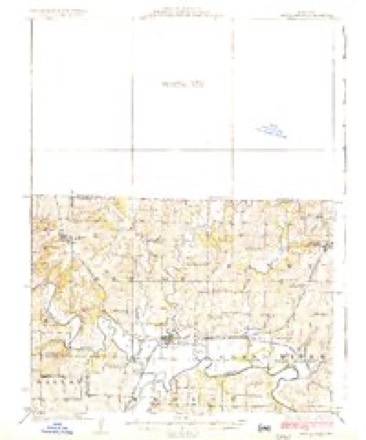
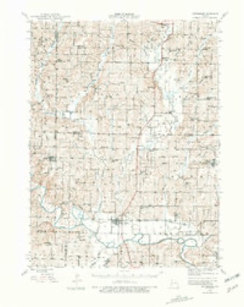
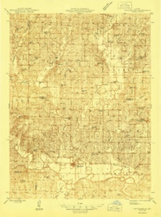
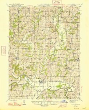
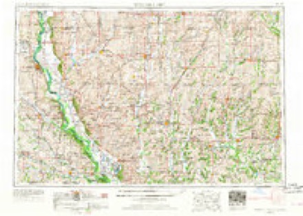
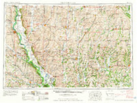
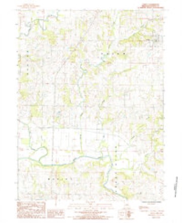
9 surveys from 16 printed sheetsMatched by testing this settlement's coordinate against the published boundary of every sheet in the United States Geological Survey's historical collection. Each opens the scanned sheet at the Survey.
- 1925 USGS Pattonsburg quadrangle1:62500, 3 printings
- 1944 USGS Pattonsburg quadrangle1:62500, 2 printings
- 1946 USGS Pattonsburg quadrangle1:48000
- 1948 USGS Pattonsburg quadrangle1:62500, 2 printings
- 1955 USGS Nebraska City quadrangle1:250000, 3 printings
- 1957 USGS Nebraska City quadrangle1:250000
- 1958 USGS Nebraska City quadrangle1:250000
- 1984 USGS Coffey quadrangle1:24000
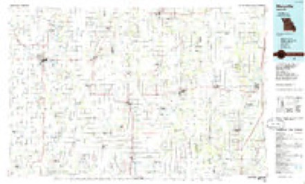
- 1986 USGS Maryville quadrangle1:100000, 2 printings
What happened here
An account from the chapter on Salem township. The inset identifies its exact source book and publication year.
Henry W. Githens
Was born in Decatur county, Indiana, in 1823, and is the son of Samuel and Jane Githens. His father was one of the pioneers of Indiana. Mr. Githens received a limited education in the schools of his native county. He moved to Daviess county, Missouri, in 1844, where he resided eight months, when he was attacked with the "Grand River Ague," which so discouraged him that he left Missouri in disgust, returning to Indiana, where he remained five years, when he again moved to Missouri, and has lived here most of the time sinee, and owns a fine farm of 160 acres.
In the county-history sources
3,987 words on this townshipThe History Of Daviess County, Missouri (Birdsall & Dean, 1882), published 1882 names this settlement in its chapter on Salem Township. These are the passages that mention it, exactly as the scans read.
Was born in Logan county, Virginia, in 1833, and moved with his parents to Daviess county, Missouri, in 1843, settling three and one-half miles west of Pattonsburg. He was educated in the country schools of his native county in Virginia, and of Daviess county.
Passage source: The History Of Daviess County, Missouri (Birdsall & Dean, 1882), published 1882.
Mr. MelIntire was married, in McLean county, Illinois, in 1850, to Miss. Mary P. Coffey, daughter of the late Judge B. 8. Coffey, of this county.. They have had ten children, seven of whom are living, as tollows: Margaret A., now Mrs. Armstrong, living in Pattonsburg; Mary A., now Mrs. Butler; William B., married and living in Salem; Nancy, now Mrs. Yarbrough,. living in Salem; Martha L., Charles A., and Edwin W. Three have died: George P., infant, died Angust 12, 1873; Clara F., died April 9, 1874, aged eleven years, eleven months, and nine days; Cora A., died August 2,. 1875, aged five months and fourteen days.
Passage source: The History Of Daviess County, Missouri (Birdsall & Dean, 1882), published 1882.
Machine-read from a century-old scan, so expect the errors a machine makes: misspelled names, dropped words, stray characters.
Fires near this place
1 since 2011Regional context, not property-specific evidence. The federal wildfire occurrence database lists 1 fire within 5 miles of Pattonsburg in 2011, burning about 10 acres in total. None started naturally. None was recorded as arson. Distance is straight-line from the map coordinates, so a fire counted here may appear on a neighbouring settlement's page as well.
| Reported cause | Fires |
|---|---|
| Debris and open burning | 1 |
The most recent of them, most recent first, with the day each was reported and the service that recorded it.
| Date | Cause | Size | Reported by | Name on the report |
|---|---|---|---|---|
| 30 October 2011 | Debris and open burning | 10 acres | Missouri Department of Conservation | not named |
Mines and quarries near this place
10 of 14 shownRegional context, not property-specific evidence. The federal mineral resources record lists 14 workings within 5 miles of Pattonsburg: 10 past producers, 2 producers, 1 prospect, 1 unknown. 2 still produce. What was taken out: Stone, Crushed/Broken, Sand and Gravel, Construction. Distance is straight-line from the map coordinates, so a quarry counted here may appear on a neighbouring settlement's page as well.
| Where | Site | Commodity | Status | Recorded |
|---|---|---|---|---|
| Snyder Quarry | Sand and Gravel, Construction | Past Producer | ||
| Unk | Sand and Gravel, Construction | Past Producer | ||
| Unk | Sand and Gravel, Construction | Unknown | ||
| Benton Township Quarry | Stone, Crushed/Broken | Past Producer | ||
| Benton Twnshp Quarry | Stone, Crushed/Broken | Past Producer | ||
| I-35 Quarry | Stone, Crushed/Broken | Producer | ||
| Pattensburg Quarry | Stone, Crushed/Broken | Past Producer | ||
| Snyder Quarry | Stone, Crushed/Broken | Past Producer | ||
| Unk | Stone, Crushed/Broken | Past Producer | ||
| Unk | Stone, Crushed/Broken | Past Producer |
Storms near this place
35 since 1993Regional context, not property-specific evidence. The National Weather Service names Pattonsburg in 35 storm reports between 1993 and 2023: 20 hail, 12 thunderstorm wind, 2 tornado, 1 flood. No death or injury is recorded in these reports. Each account below is quoted exactly as the forecast office filed it, from the NOAA Storm Events Database, and each date opens the federal record of that event.
| When | Event | Place named | Harm | What the report says |
|---|---|---|---|---|
| October 2021 | Tornado (EF0) | Pattonsburg | $20,000 | A weak and brief tornado formed in Daviess County that destroyed an outbuilding at a residential farm in a rural area. NWS survey also indicated a grain bin caved in at the property. |
| March 2006 | Thunderstorm Wind | Pattonsburg | $2,000 | Power poles reported down along Highway 69. |
| August 2012 | Thunderstorm Wind | Pattonsburg | $1,000 | A trailer was blown off its foundation and several trees were reported down as well. Thunderstorm wind gusts were estimated up to 70 mph. |
| March 2006 | Thunderstorm Wind | Pattonsburg | $1,000 | Tree blown into trailer. |
| March 2006 | Thunderstorm Wind | Pattonsburg | $1,000 | Power lines reported down. |
| June 2023 | Hail | Pattonsburg | - | Golf ball sized hail was reported in Old Pattonsburg. |
| May 2023 | Hail | Pattonsburg | - | Baseball sized hail was reported in Pattonsburg. |
| July 2023 | Thunderstorm Wind | Pattonsburg | - | Estimated 60 mph winds in Pattonsburg. |
| June 2021 | Thunderstorm Wind | Pattonsburg | - | Four power poles were down on Highway 69. |
| July 2012 | Thunderstorm Wind | Pattonsburg | - | Thunderstorm wind gusts were estimated up to 70 mph. |
| June 2011 | Thunderstorm Wind | Pattonsburg | - | Car was reported to have been blown off a road in old Pattonsburg. Thunderstorm wind gusts were estimated up to 70 mph. |
| August 2010 | Thunderstorm Wind | Pattonsburg | - | A large tree was blocking Highway 69 between Pattonsburg and Winston. Thunderstorm wind gusts were estimated up to 60 mph. |
| March 2008 | Flood | Pattonsburg | - | The Grand River near Pattonsburg crested at 27.55 feet, or 2.55 feet above flood stage. |
| May 2004 | Tornado (F4) | Pattonsburg | - | Large F4 tornado crossed into Daviess county from Dekalb county at 2135 and then crossed into Harrison county at 2150. Tornado stayed in rural areas of the Grand River flood plain. |
| June 2001 | Thunderstorm Wind | Pattonsburg | - | Large trees blown down. |
| September 1993 | Thunderstorm Wind | Pattonsburg | - | Several large trees and limbs were blown down. |
| September 2019 | Hail | Pattonsburg | - | no account filed |
| March 2016 | Hail | Pattonsburg | - | no account filed |
| June 2015 | Hail | Pattonsburg | - | no account filed |
| June 2015 | Hail | Pattonsburg | - | no account filed |
| August 2012 | Hail | Pattonsburg | - | no account filed |
| March 2011 | Hail | Pattonsburg | - | no account filed |
| June 2011 | Hail | Pattonsburg | - | no account filed |
| April 2010 | Hail | Pattonsburg | - | no account filed |
| September 2010 | Hail | Pattonsburg | - | no account filed |
| June 2010 | Hail | Pattonsburg | - | no account filed |
| June 2006 | Hail | Pattonsburg | - | no account filed |
| May 2005 | Hail | Pattonsburg | - | no account filed |
| May 2005 | Hail | Pattonsburg | - | no account filed |
| June 2004 | Hail | Pattonsburg | - | no account filed |
| May 2003 | Hail | Pattonsburg | - | no account filed |
| May 2003 | Hail | Pattonsburg | - | no account filed |
| June 2003 | Thunderstorm Wind | Pattonsburg | - | no account filed |
| March 2002 | Hail | Pattonsburg | - | no account filed |
| June 2000 | Hail | Pattonsburg | - | no account filed |
Nearest settlements
The eight closest, with where each one stands in the county. Distances are straight-line, computed from the Geographic Names Information System coordinates.
| Map | Place | Distance | Sheets |
|---|---|---|---|
| Old Pattonsburg | 2.6 miles | 16 | |
| Cypress | 2.9 miles | 16 | |
| Civil Bend | 5.4 miles | 15 | |
| Salem Coffey P O and Station | 5.5 miles | 16 | |
| Coffey | 5.6 miles | 16 | |
| Jameson | 8.1 miles | 13 | |
| Madelaine (historical) | 10.6 miles | 13 | |
| Alta Vista | 12.7 miles | 15 |
Elsewhere
Matched on this settlement's Geographic Names Information System number rather than its name, so it cannot be a different place of the same name in another state.
| Wikipedia article on Pattonsburg | An encyclopaedic summary. Its text is share-alike, so it is linked here rather than copied. |
| Wikidata item Q954140 | The structured record the population and elevation above come from. Public domain (CC0). |
Provenance
This settlement is recorded in the Geographic Names Information System as feature 730175. The sheet list is computed by point-in-boundary test against the United States Geological Survey's historical topographic inventory. Both are works of the United States government and carry no copyright under 17 U.S.C. 105.
Wildfire. Short, Karen C. 2022. Spatial wildfire occurrence data for the United States, 1992-2020 [FPA_FOD_20221014]. 6th Edition. Fort Collins, CO: Forest Service Research Data Archive. https://doi.org/10.2737/RDS-2013-0009.6 Collected with United States Government funding and usable without additional permissions or fees.
Mines and quarries. USGS Mineral Resources Data System (MRDS) https://mrdata.usgs.gov/mrds/ A work of the United States government, no copyright under 17 U.S.C. 105.
Storms. NOAA National Centers for Environmental Information, Storm Events Database https://www.ncei.noaa.gov/stormevents/ A work of the United States government, no copyright under 17 U.S.C. 105. Narratives are quoted verbatim from the National Weather Service report and are not edited or summarised.