 Block
Civil Bend, Missouri
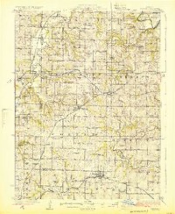
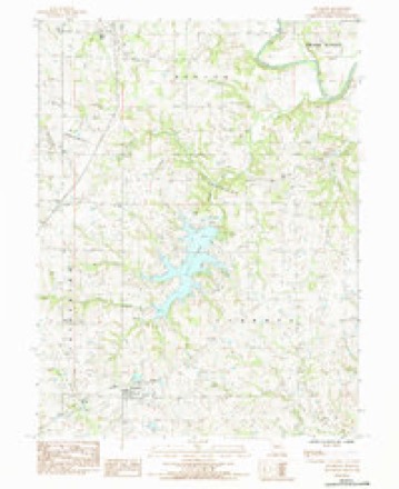
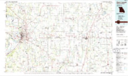
15 topographic sheets cover this place, the earliest surveyed in 1924 and the latest in 1986. It stands in Marion Township. It lies in ZIP code area 64670. The Survey maps it on the Altamont quadrangle.
Topographic sheets covering this place
7 surveys from 15 printed sheetsMatched by testing this settlement's coordinate against the published boundary of every sheet in the United States Geological Survey's historical collection. Each opens the scanned sheet at the Survey.
- 1924 USGS Winston quadrangle1:62500, 3 printings
- 1950 USGS Kansas City quadrangle1:250000
- 1954 USGS Kansas City quadrangle1:250000
- 1956 USGS Kansas City quadrangle1:250000, 4 printings
- 1960 USGS Kansas City quadrangle1:250000, 3 printings
- 1984 USGS Altamont quadrangle1:24000
- 1986 USGS Saint Joseph quadrangle1:100000, 2 printings




In the county-history sources
8,253 words on this townshipThe History Of Daviess County, Missouri (Birdsall & Dean, 1882), published 1882 names this settlement in its chapter on Marion Township. These are the passages that mention it, exactly as the scans read.
The principal town in this township is the village of Civil Bend, which is located on section twenty-four township sixty, range twenty-nine. It was laid off in 1868 by Gilbert Canfield, who surveyed twenty-four lots and had them platted as the town of Civil Bend. In 1880 it contained seventyeight inhabitants, which number it is believed has been increased until the population is now about one hundred.
Passage source: The History Of Daviess County, Missouri (Birdsall & Dean, 1882), published 1882.
As a evunty trading place the town transacts considerable business. The leading merchant of the place is Isaac J. Henderson, who carries a large and well-selected stock of general merchandise. The other prominent business men are Perham & Roberts, dealers in general merchandise; Dr. J. W. Hightree, O. F.S. Shumway, druggists; Martin Smith, harness-maker; Ryan & Harmon and Fred. Snider, blacksmiths; Drs. J. W. Wightree, 8. L. Hardinger, and E. H. Waggoner, physicians and surgeons; 8. 8. Ryan and Thomas Roberts, hotel proprictors; Moses Mallory, shoe-maker; I. Davis, barber; B. Stapp, restaurant proprietor and dealer in flour and feed; IL. J. Henderson, postmaster. The first business house in Civil Bend was built by John T. Price. The voting place of Marion township is at Civil Bend.
Passage source: The History Of Daviess County, Missouri (Birdsall & Dean, 1882), published 1882.
The Methodist Episcopal Chureh of Civil Bend was organized early in 1865. The minister in charge at the time was Rev. David M. Heath. The number of original members was about fifteen, In 1868 a frame chureh 30x40 in size, was bnilt, at a cost of about $1,500; it was dedicated in the fall of the same year by Rev. Mr. Heath, of St. Louis. A parsonage costing about $250 has also been erected. Since the building of the house of worship the church has continued to prosper, and the present membership is fifty-six. The present pastor in charge is Rev. J. @. Thompson. In connection with the church there is a flourishing Salbbath-sechool with an average attendance of sixty.
Passage source: The History Of Daviess County, Missouri (Birdsall & Dean, 1882), published 1882.
Machine-read from a century-old scan, so expect the errors a machine makes: misspelled names, dropped words, stray characters.
Read the whole chapter on Marion Township - it names this place 6 more 6 times.
Fires near this place
3 since 1997Regional context, not property-specific evidence. The federal wildfire occurrence database lists 3 fires within 5 miles of Civil Bend between 1997 and 2002, burning about 120 acres in total. None started naturally. None was recorded as arson. Distance is straight-line from the map coordinates, so a fire counted here may appear on a neighbouring settlement's page as well.
| Reported cause | Fires |
|---|---|
| Debris and open burning | 2 |
| Smoking | 1 |
The most recent of them, most recent first, with the day each was reported and the service that recorded it.
| Date | Cause | Size | Reported by | Name on the report |
|---|---|---|---|---|
| 21 March 1997 | Debris and open burning | 100 acres | Missouri Department of Conservation | not named |
| 24 February 2002 | Smoking | 10 acres | Missouri Department of Conservation | not named |
| 22 February 2002 | Debris and open burning | 10 acres | Missouri Department of Conservation | not named |
Settlements close enough to share some of these fires:
Mines and quarries near this place
10 of 18 shownRegional context, not property-specific evidence. The federal mineral resources record lists 18 workings within 5 miles of Civil Bend: 11 past producers, 3 unknowns, 3 producers, 1 prospect. 3 still produce. What was taken out: Stone, Crushed/Broken, Sand and Gravel, Construction. Distance is straight-line from the map coordinates, so a quarry counted here may appear on a neighbouring settlement's page as well.
| Where | Site | Commodity | Status | Recorded |
|---|---|---|---|---|
| Snyder Quarry | Sand and Gravel, Construction | Past Producer | ||
| Unk | Sand and Gravel, Construction | Unknown | ||
| Unk | Sand and Gravel, Construction | Past Producer | ||
| Unk | Sand and Gravel, Construction | Past Producer | ||
| Unk | Sand and Gravel, Construction | Unknown | ||
| Unk | Sand and Gravel, Construction | Unknown | ||
| Benton Twnshp Quarry | Stone, Crushed/Broken | Past Producer | ||
| Civil Bend Quarry | Stone, Crushed/Broken | Producer | ||
| Civil Bend Quarry | Stone, Crushed/Broken | Producer | ||
| Pattensburg Quarry | Stone, Crushed/Broken | Past Producer |
Storms near this place
7 since 2007Regional context, not property-specific evidence. The National Weather Service names Civil Bend in 7 storm reports between 2007 and 2021: 4 thunderstorm wind, 2 hail, 1 flood. No death or injury is recorded in these reports. Each account below is quoted exactly as the forecast office filed it, from the NOAA Storm Events Database, and each date opens the federal record of that event.
| When | Event | Place named | Harm | What the report says |
|---|---|---|---|---|
| August 2011 | Thunderstorm Wind | Civil Bend | $250 | A second story window was blown out of a house. Thunderstorm wind gusts were estimated up to 70 mph. |
| July 2021 | Thunderstorm Wind | Civil Bend | - | There were several reports of tree limbs down, some of which were around 8 inches. |
| March 2014 | Thunderstorm Wind | Civil Bend | - | Power lines down and damage to a house. |
| August 2010 | Thunderstorm Wind | Civil Bend | - | A large tree was reported down across Interstate 35, near mile marker 68. Thunderstorm wind gusts were estimated up to 60 mph. |
| May 2007 | Flood | Civil Bend | - | The Grand River near Pattonsburg crested at 34.27 feet, or 9.27 feet above flood stage. |
| March 2014 | Hail | Civil Bend | - | no account filed |
| March 2012 | Hail | Civil Bend | - | no account filed |
Nearest settlements
The eight closest, with where each one stands in the county. Distances are straight-line, computed from the Geographic Names Information System coordinates.
| Map | Place | Distance | Sheets |
|---|---|---|---|
| Old Pattonsburg | 3.9 miles | 16 | |
| Cypress | 4.4 miles | 16 | |
| Pattonsburg | 5.4 miles | 16 | |
| Jameson | 6.4 miles | 13 | |
| Altamont | 7.5 miles | 15 | |
| Alta Vista | 8.2 miles | 15 | |
| Salem Coffey P O and Station | 8.9 miles | 16 | |
| Winston | 9.0 miles | 15 |
Provenance
This settlement is recorded in the Geographic Names Information System as feature 740743. The sheet list is computed by point-in-boundary test against the United States Geological Survey's historical topographic inventory. Both are works of the United States government and carry no copyright under 17 U.S.C. 105.
Wildfire. Short, Karen C. 2022. Spatial wildfire occurrence data for the United States, 1992-2020 [FPA_FOD_20221014]. 6th Edition. Fort Collins, CO: Forest Service Research Data Archive. https://doi.org/10.2737/RDS-2013-0009.6 Collected with United States Government funding and usable without additional permissions or fees.
Mines and quarries. USGS Mineral Resources Data System (MRDS) https://mrdata.usgs.gov/mrds/ A work of the United States government, no copyright under 17 U.S.C. 105.
Storms. NOAA National Centers for Environmental Information, Storm Events Database https://www.ncei.noaa.gov/stormevents/ A work of the United States government, no copyright under 17 U.S.C. 105. Narratives are quoted verbatim from the National Weather Service report and are not edited or summarised.