 Block
Perche, Missouri
19 topographic sheets cover this place, the earliest surveyed in 1890 and the latest in 1985. It stands in Perche Township. It lies in ZIP code area 65256. It stands on Lick Fork. The Survey maps it on the Harrisburg quadrangle. The federal gazetteer marks this settlement historical: it is no longer a populated place, though the surveys that recorded it still are.
Topographic sheets covering this place
8 surveys from 19 printed sheetsMatched by testing this settlement's coordinate against the published boundary of every sheet in the United States Geological Survey's historical collection. Each opens the scanned sheet at the Survey.
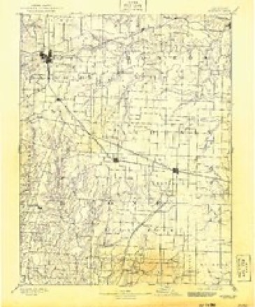
- 1890 USGS Moberly quadrangle1:125000, 6 printings
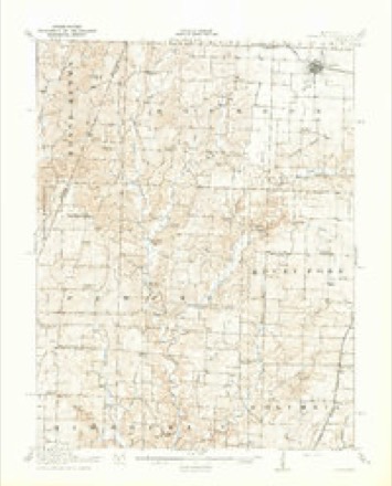
- 1917 USGS Sturgeon quadrangle1:62500, 3 printings
- 1953 USGS Moberly quadrangle1:250000
- 1954 USGS Moberly quadrangle1:250000, 3 printings
- 1957 USGS Moberly quadrangle1:250000
- 1960 USGS Moberly quadrangle1:250000
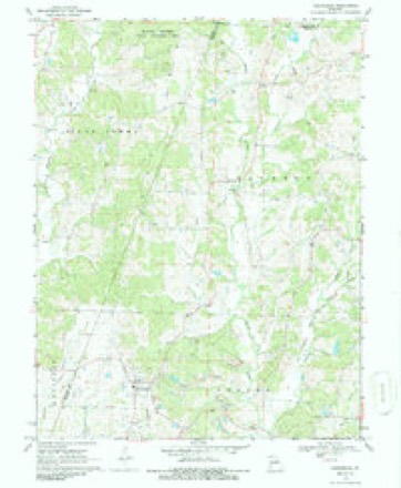
- 1969 USGS Harrisburg quadrangle1:24000, 2 printings
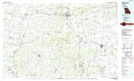
- 1985 USGS Moberly quadrangle1:100000, 2 printings




What happened here
An account from the chapter on Perche township. The inset identifies its exact source book and publication year.
Killing Of Mr. Drake
^ About the Ist of September, 1864, a man uatned Drake, who had recently come into the township from Sullivan county, was shot from the bush as he was passing along the road. Eight buckshot entered hfs body. The bushwhackers who did the deed gave information at a house near by that the dead body might be cared for.
In the county-history sources
16,001 words on this townshipHistory of Boone County, Missouri, published 1882 names this settlement in its chapter on Perche Township. These are the passages that mention it, exactly as the scans read.
Except Thrall's prairie, whicli was but a few miles in extent, Perche was originally covered by a dense growth of timber. Much of this timber-land is still uncleared. Comparatively speaking, the timbered lands of Perche are far in excess of any other township in the county.
Passage source: History of Boone County, Missouri, published 1882.
Near the junction of the last named stream with the Callaham is the famous cave known by several names, but originally as '- Connor's." This cave is just over the township line which separates Perche and Missouri, being in the latter township. As it naturally pertains to the section of country known as Perche, with the sobriquet of *- Blackfoot," it will not be amiss to include a description of it in thia township history. It is situated on the northwest quarter of section thirty, township forty-nine, range thirteen. It now bears the name of Holton's cave, having taken the name from George Holton, senior, who owned the land for twenty or thirty years. He died, a few years ago, leaving the property to his son, George Holton, junior, who now occupies the old homestead. The house stands within three hundred yards of this remarkable cave. As the land about this cave was not valuable for agricultural purposes, it remained vacant for many years after the rich valleys and level uplands were entered and occupied. The water-power at last attracted the attention of one of the neighbors, who erected a small grist-mill at the mouth of the cave. A few years later Lewis Connor bought the property and established a large tan-yard, intending to utilize the water-power for grinding tan-bark and for other purposes. When everjrthing was ready it was found the motive power was not sufficient for all purposes. Horse-power was accordingly substituted for grinding the bark, and the business went on for years, and Connor's tan-yard became one of the landmarks of the country. The tan-yard and all the buildings pertaining thereto have disappeared before the ** devouring tooth of time," and only the name and cave remain to remind us of Lewis Connor, whose life of earnest, honest toil deserves never to be forgotten.
Passage source: History of Boone County, Missouri, published 1882.
The entrance to the cave is sufficientlv larofe to admit a man on horseback, but the wall overhead varies from four feet to seventy-five or eighty. From right to left the walls are from ten to twenty feet apart. The country traversed by this cave is a high ridge of table land lying between the Perche and Callaham, which at this point are about three miles apart. A large stream flows through the cave from east to west, but the course is very tortuous. This cave has been traversed for several miles. One party, who claims to have measured the distance travelled, reached a point three miles from the mouth.
Passage source: History of Boone County, Missouri, published 1882.
Machine-read from a century-old scan, so expect the errors a machine makes: misspelled names, dropped words, stray characters.
Read the whole chapter on Perche Township - it names this place 20 more 20 times.
Mines and quarries near this place
6 within 5 milesRegional context, not property-specific evidence. The federal mineral resources record lists 6 workings within 5 miles of Perche (historical): 6 past producers. None of them still produces. What was taken out: Stone, Crushed/Broken. Distance is straight-line from the map coordinates, so a quarry counted here may appear on a neighbouring settlement's page as well.
| Where | Site | Commodity | Status | Recorded |
|---|---|---|---|---|
| Boone Quarries - Plant # 2 | Stone, Crushed/Broken | Past Producer | ||
| Unknown - Ls. | Stone, Crushed/Broken | Past Producer | ||
| Unknown - Ls. | Stone, Crushed/Broken | Past Producer | ||
| Unknown - Ls. | Stone, Crushed/Broken | Past Producer | ||
| Unknown - Ls. | Stone, Crushed/Broken | Past Producer | ||
| Unknown - Ls. | Stone, Crushed/Broken | Past Producer |
Nearest settlements
The eight closest, with where each one stands in the county. Distances are straight-line, computed from the Geographic Names Information System coordinates.
| Map | Place | Distance | Sheets |
|---|---|---|---|
| Harrisburg | 3.2 miles | 19 | |
| Germantown (historical) | 4.0 miles | 19 | |
| Rileysburg | 4.3 miles | 19 | |
| Riggs | 4.5 miles | 19 | |
| Minnie | 5.2 miles | 19 | |
| Everett (historical) | 5.4 miles | 19 | |
| Petersburg (historical) | 5.5 miles | 19 | |
| Middleton | 5.5 miles | 19 |
Provenance
This settlement is recorded in the Geographic Names Information System as feature 736175. The sheet list is computed by point-in-boundary test against the United States Geological Survey's historical topographic inventory. Both are works of the United States government and carry no copyright under 17 U.S.C. 105.
Mines and quarries. USGS Mineral Resources Data System (MRDS) https://mrdata.usgs.gov/mrds/ A work of the United States government, no copyright under 17 U.S.C. 105.