 Block
Petersburg, Missouri
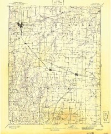
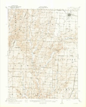
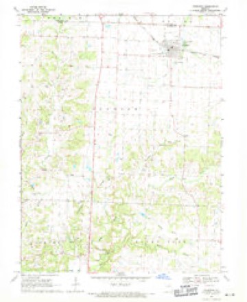
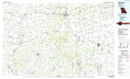
19 topographic sheets cover this place, the earliest surveyed in 1890 and the latest in 1985. It stands in Bourbon Township. It lies in ZIP code area 65284. It stands on Thompson Branch. The Survey maps it on the Sturgeon quadrangle. The federal gazetteer marks this settlement historical: it is no longer a populated place, though the surveys that recorded it still are.
Topographic sheets covering this place
8 surveys from 19 printed sheetsMatched by testing this settlement's coordinate against the published boundary of every sheet in the United States Geological Survey's historical collection. Each opens the scanned sheet at the Survey.
- 1890 USGS Moberly quadrangle1:125000, 6 printings
- 1917 USGS Sturgeon quadrangle1:62500, 3 printings
- 1953 USGS Moberly quadrangle1:250000
- 1954 USGS Moberly quadrangle1:250000, 3 printings
- 1957 USGS Moberly quadrangle1:250000
- 1960 USGS Moberly quadrangle1:250000
- 1969 USGS Sturgeon quadrangle1:24000, 2 printings
- 1985 USGS Moberly quadrangle1:100000, 2 printings




What happened here
An account from the chapter on Bourbon township. The inset identifies its exact source book and publication year.
The Shroyer Murder Case
A most horrible and at the same time a most interesting case of murder occurred in this township in the fall of 1876. The particulars, here given are taken from the Sturgeon Leader of August 5, 1882. The editor of the Leader, Mr. T. S. Carter, is better informed concerning the facts in the case than any other person, and was promi nent in cansino; the arrest of the alleo-ed murderer : -
In the county-history sources
30,463 words on this townshipHistory of Boone County, Missouri. Written and Comp. from the Most Authentic Official and Private Sources; Including a History of Its Townships, Towns, and Villages. Together with a Condensed History of Missouri; the City of St. Louis ... Biographical Sketches and Portraits of Prominent Citizens .., published 1882 names this settlement in its chapter on Bourbon Township. These are the passages that mention it, exactly as the scans read.
Bourbon township is the northwest corner township of" Boone county. It comprises all of township 51, range 12, and township 51, range 13, and fractional township 51, range 14, - running to the Howard County line on the west, and to Centralia township on the east. It is bounded on the north by Randolph and Audrain counties, and on the south by Perche and Rocky Fork townships.
A most horrible and at the same time a most interesting case of murder occurred in this township in the fall of 1876. The particulars, here given are taken from the Sturgeon Leader of August 5, 1882. The editor of the Leader, Mr. T. S. Carter, is better informed concerning the facts in the case than any other person, and was promi nent in cansino; the arrest of the alleo-ed murderer : -
On the east half of the southwest quarter of section 31, township 51, range 12, where is now a corn field, once stood a little village, called Petersburg. It was laid out in the year 1836, or perhaps in 1837, and was a noted little village, on Silver's Fork of Perche, at one time with a population of say fifty souls. There were two stores in the place, a mill, a tanyard, blacksmith shop, etc. Gen. Geo. Dorris, now of St. Louis, put up the first store in Petersburg. Gen. D.'s wife, who was murdered in the fall of 1881, by her grandson, Russell Brown, is well remembered by the old citizens. The wife of Gen. John A. Logan, now U. S. senator from Illinois, was born in Petersburg. Her maiden name was Mary Cunningham. Many of her relatives now reside in the vicinity.
Machine-read from a century-old scan, so expect the errors a machine makes: misspelled names, dropped words, stray characters.
Read the whole chapter on Bourbon Township - it names this place 9 more 9 times.
Mines and quarries near this place
6 within 5 milesRegional context, not property-specific evidence. The federal mineral resources record lists 6 workings within 5 miles of Petersburg (historical): 6 past producers. None of them still produces. What was taken out: Stone, Crushed/Broken. Distance is straight-line from the map coordinates, so a quarry counted here may appear on a neighbouring settlement's page as well.
| Where | Site | Commodity | Status | Recorded |
|---|---|---|---|---|
| Boone Quarries - Plant # 2 | Stone, Crushed/Broken | Past Producer | ||
| Unknown - Ls. | Stone, Crushed/Broken | Past Producer | ||
| Unknown - Ls. | Stone, Crushed/Broken | Past Producer | ||
| Unknown - Ls. | Stone, Crushed/Broken | Past Producer | ||
| Unknown - Ls. | Stone, Crushed/Broken | Past Producer | ||
| Unknown - Ls. | Stone, Crushed/Broken | Past Producer |
Nearest settlements
The eight closest, with where each one stands in the county. Distances are straight-line, computed from the Geographic Names Information System coordinates.
| Map | Place | Distance | Sheets |
|---|---|---|---|
| Riggs | 1.9 miles | 19 | |
| Middleton | 3.0 miles | 19 | |
| Rileysburg | 4.5 miles | 19 | |
| Sturgeon | 5.4 miles | 19 | |
| Bourbon | 5.4 miles | 19 | |
| Perche (historical) | 5.5 miles | 19 | |
| Hallsville | 5.7 miles | 18 | |
| Rucker | 7.3 miles | 19 |
Provenance
This settlement is recorded in the Geographic Names Information System as feature 759413. The sheet list is computed by point-in-boundary test against the United States Geological Survey's historical topographic inventory. Both are works of the United States government and carry no copyright under 17 U.S.C. 105.
Mines and quarries. USGS Mineral Resources Data System (MRDS) https://mrdata.usgs.gov/mrds/ A work of the United States government, no copyright under 17 U.S.C. 105.