 Block
Middleton, Missouri
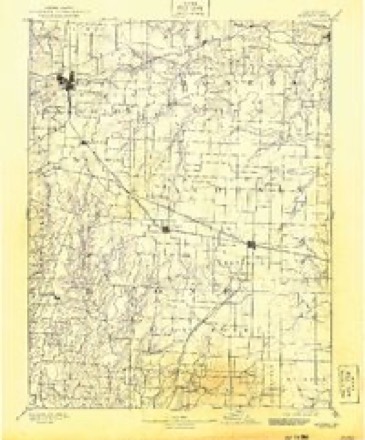
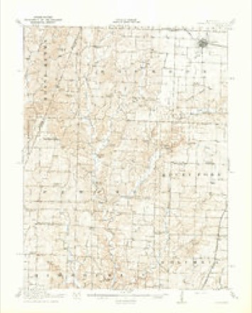
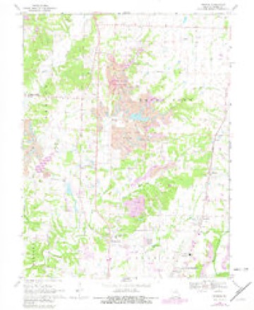
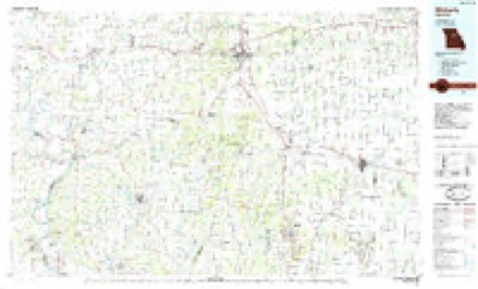
19 topographic sheets cover this place, the earliest surveyed in 1890 and the latest in 1985. It stands in Rocky Fork Township. It lies in ZIP code area 65255. It stands on Kelley Branch. The Survey maps it on the Browns quadrangle.
Topographic sheets covering this place
8 surveys from 19 printed sheetsMatched by testing this settlement's coordinate against the published boundary of every sheet in the United States Geological Survey's historical collection. Each opens the scanned sheet at the Survey.
- 1890 USGS Moberly quadrangle1:125000, 6 printings
- 1917 USGS Sturgeon quadrangle1:62500, 3 printings
- 1953 USGS Moberly quadrangle1:250000
- 1954 USGS Moberly quadrangle1:250000, 3 printings
- 1957 USGS Moberly quadrangle1:250000
- 1960 USGS Moberly quadrangle1:250000
- 1969 USGS Browns quadrangle1:24000, 2 printings
- 1985 USGS Moberly quadrangle1:100000, 2 printings




What happened here
An account from the chapter on Rocky Fork township. The inset identifies its exact source book and publication year.
History Op Boone Cottntt Miscellaneous
About twenty years since Mr. Wm. Watts was accidently shot and killed. The incident happened in the eastern part of this township. He and another man named Watkins were herding cattle, and while the two were carelessly handling a gun it was accidentally discharged and Watts was killed.
In the county-history sources
20,830 words on this townshipHistory of Boone County, Missouri, published 1882 names this settlement in its chapter on Rocky Fork Township. These are the passages that mention it, exactly as the scans read.
Mr. Smith's fine Hereford cow. Countess 9th, is a red, with white face, animal, calved May 2, 1877, bred by T. Middleton, Shropshire, England. She was sired by Baron 4th (English Herd Book, 4326), and her dam was Countess 6th (Eng. H. B.). A further pedigree of these superior animals may be found in the American and English Herd Books.
Passage source: History of Boone County, Missouri, published 1882.
Machine-read from a century-old scan, so expect the errors a machine makes: misspelled names, dropped words, stray characters.
Mines and quarries near this place
6 within 5 milesRegional context, not property-specific evidence. The federal mineral resources record lists 6 workings within 5 miles of Middleton: 6 past producers. None of them still produces. What was taken out: Stone, Crushed/Broken. Distance is straight-line from the map coordinates, so a quarry counted here may appear on a neighbouring settlement's page as well.
| Where | Site | Commodity | Status | Recorded |
|---|---|---|---|---|
| Unknown - Ls. | Stone, Crushed/Broken | Past Producer | ||
| Unknown - Ls. | Stone, Crushed/Broken | Past Producer | ||
| Unknown - Ls. | Stone, Crushed/Broken | Past Producer | ||
| Unknown - Ls. | Stone, Crushed/Broken | Past Producer | ||
| Unknown - Ls. | Stone, Crushed/Broken | Past Producer | ||
| Unknown - Ls. | Stone, Crushed/Broken | Past Producer |
Nearest settlements
The eight closest, with where each one stands in the county. Distances are straight-line, computed from the Geographic Names Information System coordinates.
| Map | Place | Distance | Sheets |
|---|---|---|---|
| Petersburg (historical) | 3.0 miles | 19 | |
| Hallsville | 4.3 miles | 18 | |
| Riggs | 4.4 miles | 19 | |
| Hinton | 4.8 miles | 19 | |
| Browns | 5.1 miles | 19 | |
| Lebanon (historical) | 5.4 miles | 18 | |
| Perche (historical) | 5.5 miles | 19 | |
| Germantown (historical) | 6.3 miles | 19 |
Provenance
This settlement is recorded in the Geographic Names Information System as feature 759374. The sheet list is computed by point-in-boundary test against the United States Geological Survey's historical topographic inventory. Both are works of the United States government and carry no copyright under 17 U.S.C. 105.
Mines and quarries. USGS Mineral Resources Data System (MRDS) https://mrdata.usgs.gov/mrds/ A work of the United States government, no copyright under 17 U.S.C. 105.