 Block
Platte River, Missouri
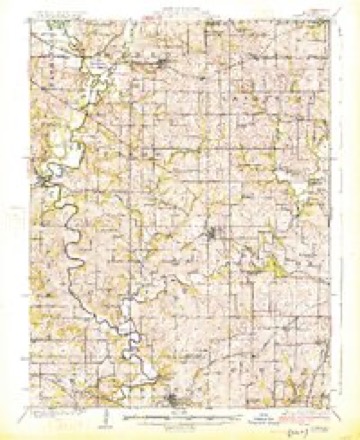
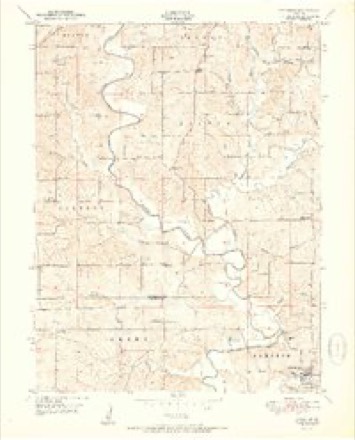
18 topographic sheets cover this place, the earliest surveyed in 1925 and the latest in 1986. It stands in Jackson Township. It lies in ZIP code area 64439. The Survey maps it on the Edgerton quadrangle.
Topographic sheets covering this place
8 surveys from 18 printed sheetsMatched by testing this settlement's coordinate against the published boundary of every sheet in the United States Geological Survey's historical collection. Each opens the scanned sheet at the Survey.
- 1925 USGS Gower quadrangle1:62500, 3 printings
- 1950 USGS Kansas City quadrangle1:250000
- 1951 USGS Edgerton quadrangle1:24000, 2 printings
- 1954 USGS Kansas City quadrangle1:250000
- 1956 USGS Kansas City quadrangle1:250000, 4 printings
- 1960 USGS Kansas City quadrangle1:250000, 3 printings
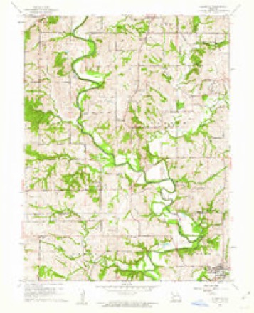
- 1961 USGS Edgerton quadrangle1:24000, 2 printings
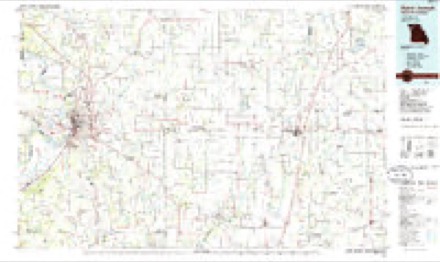
- 1986 USGS Saint Joseph quadrangle1:100000, 2 printings




In the county-history sources
7,869 words on this townshipThe History of Buchanan County, Missouri : Containing a History of the County, Its Cities, Towns, Etc., Biographical Sketches of Its Citizens, Buchanan County in the Late War, General and Local Statisics, Portraits of Early Settlers and Prominent Men, History of Missouri, Map of Buchanan County, Etc., Etc, published 1881 names this settlement in its chapter on Jackson Township. These are the passages that mention it, exactly as the scans read.
Rowley Lodge, No. 204, A. F. and A. M., was chartered October 19, 1867, with Cyrus Grable, W. M.; James Wright, S. W.; and J. W. Stafford, J. W. P. L. Wheeler was the first Secretary. The present officers of this lodge are: B. C. Stafford, W.M.; John C.Tays.S. W.; John Higgins, J. W.; J. W. Wilkerson, Secretary; J. Boyd, Treasurer; Albert Freeman, S. D.; Enoch Grable, J. D.; Joseph Grable, Tyler.
farmer, section 4, postoffice Agency, was born in Ireland, December 12, 1840. At the age of twelve he left his native country for America, and landed at New Orleans, where he remained six months ; after which he emigrated to St. Louis, Missouri. Here he resided up to 1861, during which time he learned the moulder's trade. In 1861 he moved to Buchanan County, and in 1865 was married to Miss Fannie Reynolds, a native of Buchanan County. By this union they have had five children - Mary L., Susan W., Joseph E., Eurabe A., John W. He was a member of an exempt cornpany at St. Joseph during the late war. He owns a farm of fifty acres of land, which is in a good state of cultivation^ farmer and merchant, section 26, postoffice Platte River. The subject of this sketch has been a very successful man all through life. He was born July 26, 1816, in Wayne County, Ohio. Emigrated to Buchanan County, Missouri in 1843, returned to Ohio in 1844, then to Missouri in 1845, returning to Ohio in the same year, and remained until after the Mexican War, at the close of which he located permanently, where he now resides, in Buchanan County. He was a builder and carder by profession. He had a carding factory in Bretz's Mill, which was consumed by fire in the winter of 1845. He rebuilt in 1848, and continued in business until i860, when he sold out. Since i860, he has been engaged in farming and stock raising. October 12, 1840, he was married to Miss Elizabeth Beals, a native of Wayne County, Ohio. They had but one child - it and the mother died. October 12, 1848, he married Delilah Seal, born in Dauphin County, Pennsylvania. By this union they have had three children : Odilin B., Cornelia A. Algernian S. Owns 214 acres of land, all under good state of cultivation, with good house and barn thereon. He has donated liberally to the building of school houses, always assisting the needy. On the 23d of March, 1881, he formed a partnership in general merchandise, under the iirm name of Grable & Henshaw. Cornelia A. was married December 23, 1879, to Joseph A. Henshaw, who was born May 14, 1855. in Clay County, Missouri. He was a farmer until twenty-one - Since maturity a business man.
farmer and miller, section 26, postoffice Platte River, one of the most successful business men, farmers and millers of Buchanan County, was born May 21, 1824, in Hart County, Kentucky. He left Kentucky Octpber I, 1845, and landed in Buchanan County, Missouri, October 20, 1845, with twenty dollars and twelve cents. He has resided in Buchanan County ever since except six months that he lived in plinton County. He worked for John Patee in St. Joseph at ten dollars per month. Then worked in Mexico and on the road at twenty dollars per month. He worked for John Bretz until May, 1849, then took a trip to California, returning in 1852. Engaged in general merchandise August, 18.52, continued until May, 1854, when he sold his store and purchased an undivided half of the Bretz Mill. He married Catharine A. Bretz, a native of Pennsylvania, April 27, 1853. She was born August 23, 1832. By this union they have had seven children, Albert E., James B., Elizabeth, John W., Lydia, Edward R., Rebecca E., all alive except John and Lydia, and doing well. By his own exertions he has accumulated 589 acres of land, all under good state of cultivation, with large and commodious house, good barn, orchard, etc. He has been postmaster and school trustee, and is a member of the Grange. During thfe late war he experienced considerable inconvenience, and sustained loss. His beloved wife died March 7, 1879, from congestion of the lungs. In all public enterprises he has lent a helping hand, and has ever been the poor man's friend.
Machine-read from a century-old scan, so expect the errors a machine makes: misspelled names, dropped words, stray characters.
Read the whole chapter on Jackson Township - it names this place 8 more 8 times.
Fires near this place
2 since 1996Regional context, not property-specific evidence. The federal wildfire occurrence database lists 2 fires within 5 miles of Platte River between 1996 and 2018, burning about 15 acres in total. None started naturally. None was recorded as arson. Distance is straight-line from the map coordinates, so a fire counted here may appear on a neighbouring settlement's page as well.
| Reported cause | Fires |
|---|---|
| Debris and open burning | 1 |
| Other causes | 1 |
The most recent of them, most recent first, with the day each was reported and the service that recorded it.
| Date | Cause | Size | Reported by | Name on the report |
|---|---|---|---|---|
| 9 August 1996 | Debris and open burning | 5.0 acres | Missouri Department of Conservation | not named |
| 29 January 2018 | Other causes | 9.7 acres | Missouri Department of Conservation | 165951-01180-01292018-1547 |
Settlements close enough to share some of these fires:
Mines and quarries near this place
10 of 17 shownRegional context, not property-specific evidence. The federal mineral resources record lists 17 workings within 5 miles of Platte River: 16 past producers, 1 producer. 1 still produces. What was taken out: Stone, Crushed/Broken. Distance is straight-line from the map coordinates, so a quarry counted here may appear on a neighbouring settlement's page as well.
| Where | Site | Commodity | Status | Recorded |
|---|---|---|---|---|
| Boydston Quarry | Stone, Crushed/Broken | Past Producer | ||
| Dearborn Quarry | Stone, Crushed/Broken | Past Producer | ||
| Duncan Quarry | Stone, Crushed/Broken | Past Producer | ||
| Everett & Clark Quarry | Stone, Crushed/Broken | Past Producer | ||
| Everett Quarry | Stone, Crushed/Broken | Past Producer | ||
| Everett Quarry No 54 | Stone, Crushed/Broken | Producer | ||
| Ferris Quarry | Stone, Crushed/Broken | Past Producer | ||
| Unknown | Stone, Crushed/Broken | Past Producer | ||
| Unknown | Stone, Crushed/Broken | Past Producer | ||
| Unknown | Stone, Crushed/Broken | Past Producer |
Nearest settlements
The eight closest, with where each one stands in the county. Distances are straight-line, computed from the Geographic Names Information System coordinates.
Provenance
This settlement is recorded in the Geographic Names Information System as feature 740178. The sheet list is computed by point-in-boundary test against the United States Geological Survey's historical topographic inventory. Both are works of the United States government and carry no copyright under 17 U.S.C. 105.
Wildfire. Short, Karen C. 2022. Spatial wildfire occurrence data for the United States, 1992-2020 [FPA_FOD_20221014]. 6th Edition. Fort Collins, CO: Forest Service Research Data Archive. https://doi.org/10.2737/RDS-2013-0009.6 Collected with United States Government funding and usable without additional permissions or fees.
Mines and quarries. USGS Mineral Resources Data System (MRDS) https://mrdata.usgs.gov/mrds/ A work of the United States government, no copyright under 17 U.S.C. 105.