 Block
Richards, Missouri
22 topographic sheets cover this place, the earliest surveyed in 1884 and the latest in 1991. It stands in Richland Township. It lies in ZIP code area 64778. The Survey maps it on the Richards quadrangle. 43 people lived here at the 2020 count. It stands 833 feet above sea level.
Population over time
2 figuresRichards fell from 96 to 43 between 2010 and 2020. These are the recorded population figures Wikidata holds for this place, reached through the Geographic Names Information System number this page is keyed on rather than by name, so they belong to this place and not to another of the same name. Most are census counts, but not all are: an early figure may be a founding or settlement estimate, and an estimate published within five years of a census is left out. The change column is computed, and is left blank where more than 20 years separate a figure from the one before it, because a gap that long is not a change between two counts.
| Year | People | Change |
|---|---|---|
| 2010 | 96 | |
| 2020 | 43 | -53 (-55%) |
Topographic sheets covering this place
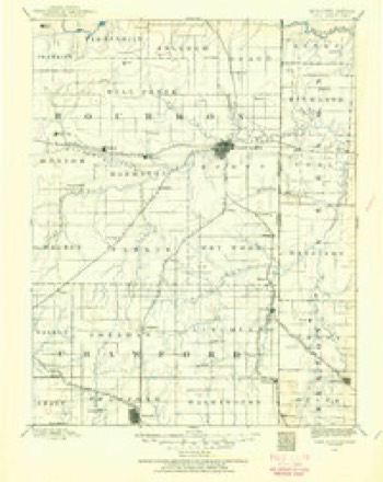
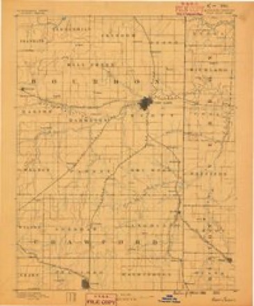
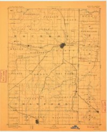
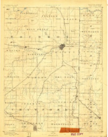
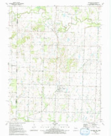
13 surveys from 22 printed sheetsMatched by testing this settlement's coordinate against the published boundary of every sheet in the United States Geological Survey's historical collection. Each opens the scanned sheet at the Survey.
- 1884 USGS Fort Scott quadrangle1:125000
- 1886 USGS Fort Scott quadrangle1:125000
- 1893 USGS Fort Scott quadrangle1:125000, 6 printings
- 1893 USGS Ft Scott quadrangle1:125000
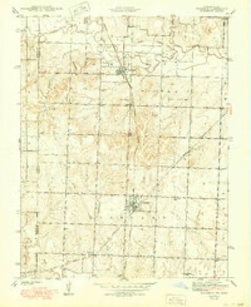
- 1942 USGS Richards quadrangle1:24000, 3 printings
- 1947 USGS Joplin quadrangle1:250000
- 1949 USGS Joplin quadrangle1:250000
- 1954 USGS Joplin quadrangle1:250000, 3 printings
- 1958 USGS Joplin quadrangle1:250000
- 1959 USGS Joplin quadrangle1:250000
- 1986 USGS Nevada quadrangle1:100000
- 1991 USGS Nevada quadrangle1:100000
- 1991 USGS Richards quadrangle1:24000
In the county-history sources
2,737 words on this townshipHistory of Vernon County, Missouri : Past and Present, Including an Account of the Cities, Towns and Villages of the County, published 1911 names this settlement in its chapter on Richland Township. These are the passages that mention it, exactly as the scans read.
The town was laid out in 1891, but was not incorporated until 1901. It is situated on a high rolling prairie in Richland township and in the midst of vast acres of fertile prairie lands that reach as far as the eve can see. Its railroad facilities are unexcelled, being located on the Kansas City Southern and the Missouri Pacific, making shipping and travel convenient. The commercial interests are varied and extensive. The schools, the churches and society are matters of local pride. The municipal government is, and always has been, the best. The present of¬ ficials of Richards are: G. W. Hamlett, mayor; J. G. Poyner, G. W. Palmer, Roland Hughes and Dr. W. T. Adams, associate members of the board; J. A. Young, clerk; L. D. Hufiaker, treasurer.
Passage source: History of Vernon County, Missouri : Past and Present, Including an Account of the Cities, Towns and Villages of the County, published 1911.
Richards has more good sidewalks than any town of its size in Missouri, being made from both flagstone and concrete. The people take great pride in keeping the walks in the best possible condition.
Passage source: History of Vernon County, Missouri : Past and Present, Including an Account of the Cities, Towns and Villages of the County, published 1911.
Richland township and this section of southwestern Missouri probably produces more timothy, clover and prairie hay than any other portion of the state. Richards stands among the fore¬ most hay shipping points in the country.
Passage source: History of Vernon County, Missouri : Past and Present, Including an Account of the Cities, Towns and Villages of the County, published 1911.
Machine-read from a century-old scan, so expect the errors a machine makes: misspelled names, dropped words, stray characters.
Read the whole chapter on Richland Township - it names this place 13 more 13 times.
Fires near this place
12 since 2011Regional context, not property-specific evidence. The federal wildfire occurrence database lists 12 fires within 5 miles of Richards between 2011 and 2018, burning about 128 acres in total. None started naturally. None was recorded as arson. Distance is straight-line from the map coordinates, so a fire counted here may appear on a neighbouring settlement's page as well.
| Reported cause | Fires |
|---|---|
| Debris and open burning | 7 |
| Missing data/not specified/undetermined | 4 |
| Smoking | 1 |
The most recent of them, most recent first, with the day each was reported and the service that recorded it.
| Date | Cause | Size | Reported by | Name on the report |
|---|---|---|---|---|
| 2 August 2018 | Missing data/not specified/undetermined | under an acre | Kansas Forest Service | 189 |
| 14 June 2011 | Missing data/not specified/undetermined | 1.0 acres | Missouri Department of Conservation | not named |
| 10 April 2017 | Debris and open burning | under an acre | Bourbon County | 129 |
| 10 April 2011 | Debris and open burning | 2.0 acres | Missouri Department of Conservation | not named |
| 12 March 2015 | Debris and open burning | 20 acres | Missouri Department of Conservation | 122114-10867-03122015-1513 |
| 6 February 2016 | Smoking | 1.0 acres | Kansas Forest Service | 30 |
| 26 February 2015 | Missing data/not specified/undetermined | 1.0 acres | Missouri Department of Conservation | 122111-10867-02262015-1600 |
| 23 February 2011 | Debris and open burning | 3.0 acres | Missouri Department of Conservation | not named |
Settlements close enough to share some of these fires:
Storms near this place
21 since 1996Regional context, not property-specific evidence. The National Weather Service names Richards in 21 storm reports between 1996 and 2023: 8 hail, 7 thunderstorm wind, 5 flash flood, 1 flood. No death or injury is recorded in these reports. Each account below is quoted exactly as the forecast office filed it, from the NOAA Storm Events Database, and each date opens the federal record of that event.
| When | Event | Place named | Harm | What the report says |
|---|---|---|---|---|
| August 2004 | Thunderstorm Wind | Richards | $25,000 | A microburst destroyed a large barn near the community of Richards. A roof of a home was also significantly damaged from the winds. |
| May 2023 | Thunderstorm Wind | Richards | $20,000 | Several power lines were reported down. |
| April 2001 | Thunderstorm Wind | Richards | $15,000 | no account filed |
| March 2007 | Thunderstorm Wind | Richards | $2,000 | Severe thunderstorms produced wind gusts which downed power lines north of Highway DD near the towns of Richards and Montevallo. |
| July 2023 | Thunderstorm Wind | Richards | - | A public weather station recorded a wind gust of 63mph. |
| August 2017 | Flash Flood | Richards | - | Water flowed over the roadway on Highway O just east of Highway H. |
| August 2017 | Flash Flood | Richards | - | Water flowed over the roadway at 600 Road and Katy Track Road. |
| August 2017 | Flash Flood | Richards | - | Water flowed over the roadway at 200 Road and Katy Track Road. |
| August 2013 | Flash Flood | Richards | - | The Emergency Manager reported flash flooding of numerous city streets, county roads, and low water crossings throughout several areas of the county. |
| May 2009 | Flash Flood | Richards | - | Two to four inches of rain created widespread flooding across much of Vernon County. Locations where flooding was observed included Nevada, sections of Highway 71, sections of Highway 54, and sections of several county roads. |
| March 2008 | Flood | Richards | - | This flooding is a continuation of the flash flooding. Poor drainage areas continued to flood roadways and lowlands near rivers and creeks. |
| September 2003 | Thunderstorm Wind | Richards | - | Several trees were downed from severe thunderstorm wind gusts. |
| May 2011 | Hail | Richards | - | no account filed |
| April 2006 | Hail | Richards | - | no account filed |
| June 2004 | Hail | Richards | - | no account filed |
| May 2003 | Hail | Richards | - | no account filed |
| July 2003 | Hail | Richards | - | no account filed |
| April 2000 | Thunderstorm Wind | Richards | - | no account filed |
| May 1999 | Hail | Richards | - | no account filed |
| April 1998 | Hail | Richards | - | no account filed |
| June 1996 | Hail | Richards | - | no account filed |
Nearest settlements
The eight closest, with where each one stands in the county. Distances are straight-line, computed from the Geographic Names Information System coordinates.
| Map | Place | Distance | Sheets |
|---|---|---|---|
| Stotesbury | 4.5 miles | 22 | |
| Rinehart | 4.6 miles | 20 | |
| Bunnville (historical) | 4.6 miles | 24 | |
| Eve | 4.9 miles | 24 | |
| Deerfield | 5.5 miles | 24 | |
| Katy | 5.5 miles | 24 | |
| Temple (historical) | 5.6 miles | 20 | |
| Wolfe (historical) | 7.1 miles | 19 |
Elsewhere
Matched on this settlement's Geographic Names Information System number rather than its name, so it cannot be a different place of the same name in another state.
| Wikipedia article on Richards | An encyclopaedic summary. Its text is share-alike, so it is linked here rather than copied. |
| Wikidata item Q954621 | The structured record the population and elevation above come from. Public domain (CC0). |
Provenance
This settlement is recorded in the Geographic Names Information System as feature 725254. The sheet list is computed by point-in-boundary test against the United States Geological Survey's historical topographic inventory. Both are works of the United States government and carry no copyright under 17 U.S.C. 105.
Wildfire. Short, Karen C. 2022. Spatial wildfire occurrence data for the United States, 1992-2020 [FPA_FOD_20221014]. 6th Edition. Fort Collins, CO: Forest Service Research Data Archive. https://doi.org/10.2737/RDS-2013-0009.6 Collected with United States Government funding and usable without additional permissions or fees.
Storms. NOAA National Centers for Environmental Information, Storm Events Database https://www.ncei.noaa.gov/stormevents/ A work of the United States government, no copyright under 17 U.S.C. 105. Narratives are quoted verbatim from the National Weather Service report and are not edited or summarised.