 Block
Ellis, Missouri
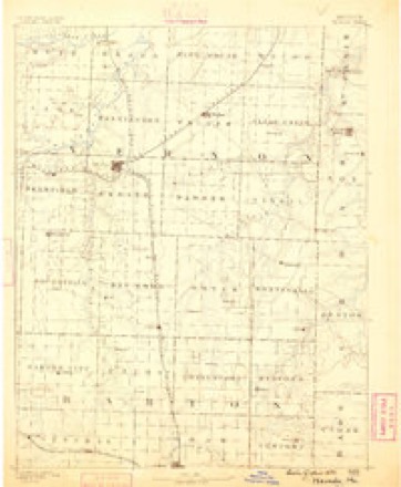
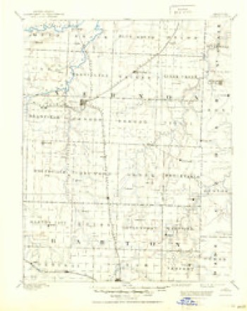
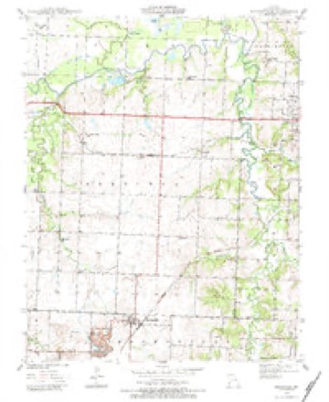
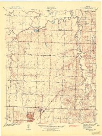
21 topographic sheets cover this place, the earliest surveyed in 1886 and the latest in 1991. It stands in Deerfield Township. It lies in ZIP code area 64772. The Survey maps it on the Moundville quadrangle.
Topographic sheets covering this place
12 surveys from 21 printed sheetsMatched by testing this settlement's coordinate against the published boundary of every sheet in the United States Geological Survey's historical collection. Each opens the scanned sheet at the Survey.
- 1886 USGS Nevada quadrangle1:125000
- 1894 USGS Nevada quadrangle1:125000, 5 printings
- 1939 USGS Moundville quadrangle1:24000, 3 printings
- 1942 USGS Moundville quadrangle1:24000, 2 printings
- 1947 USGS Joplin quadrangle1:250000
- 1949 USGS Joplin quadrangle1:250000
- 1954 USGS Joplin quadrangle1:250000, 3 printings
- 1958 USGS Joplin quadrangle1:250000
- 1959 USGS Joplin quadrangle1:250000
- 1986 USGS Nevada quadrangle1:100000
- 1991 USGS Moundville quadrangle1:24000
- 1991 USGS Nevada quadrangle1:100000
What happened here
An account from the chapter on Deerfield township. The inset identifies its exact source book and publication year.
Schell City Public School
down into Vernon county on a marauding expedition. They first visited the residence of Col. Smiley H. Sample, who lived on the Fort Scott and Nevada road, a mile northwest of Prewitt. He had a considerable sum of money which his wife secured and hid away when she first heard the robbers. Colonel Sample was called out and shot down while standing on his cellar door.
In the county-history sources
2,685 words on this townshipHistory of Vernon County, Missouri : Past and Present, Including an Account of the Cities, Towns and Villages of the County, published 1911 names this settlement in its chapter on Deerfield Township. These are the passages that mention it, exactly as the scans read.
In the year 1857 W. W. Prewitt and his father-in-law, Smiley H. Sample, came from the Missouri river to the north central part of the township, a mile northwest of the village of Prewitt (or Ellis). Major Prewitt had entered several hundred acres of land and sold a farm to Sample. The main portion of the Prew¬ itt farm was the northeast quarter of section 9. These were the first settlements in that quarter.
Passage source: History of Vernon County, Missouri : Past and Present, Including an Account of the Cities, Towns and Villages of the County, published 1911.
Prewitt, or Ellis, as it is now called, is located on the M., K. & T. railroad, east of Deerfield. The town was laid out July 5, 1876, by W. A. Still, and named in honor of Maj. W. W. Prewitt. In naming their station the railroad company changed the name to that of Ellis. Though a small place, it has a good general store conducted by John J. Hall.
Passage source: History of Vernon County, Missouri : Past and Present, Including an Account of the Cities, Towns and Villages of the County, published 1911.
Machine-read from a century-old scan, so expect the errors a machine makes: misspelled names, dropped words, stray characters.
Fires near this place
13 since 2003Regional context, not property-specific evidence. The federal wildfire occurrence database lists 13 fires within 5 miles of Ellis between 2003 and 2020, burning about 459 acres in total. None started naturally. 1 was recorded as arson. Distance is straight-line from the map coordinates, so a fire counted here may appear on a neighbouring settlement's page as well.
| Reported cause | Fires |
|---|---|
| Debris and open burning | 7 |
| Missing data/not specified/undetermined | 5 |
| Arson/incendiarism | 1 |
The most recent of them, most recent first, with the day each was reported and the service that recorded it.
| Date | Cause | Size | Reported by | Name on the report |
|---|---|---|---|---|
| 23 September 2011 | Debris and open burning | 20 acres | Missouri Department of Conservation | not named |
| 21 August 2012 | Missing data/not specified/undetermined | 118 acres | Missouri Department of Conservation | DEERFIELD |
| 20 August 2003 | Debris and open burning | 10 acres | Missouri State Fire Marshal's Office | not named |
| 4 July 2003 | Arson/incendiarism | 1.0 acres | Missouri State Fire Marshal's Office | not named |
| 28 March 2015 | Debris and open burning | 3.0 acres | Missouri Department of Conservation | 122117-10867-03282015-2251 |
| 16 March 2015 | Debris and open burning | 200 acres | Missouri Department of Conservation | 122116-10867-03162015-1640 |
| 11 March 2015 | Missing data/not specified/undetermined | 1.0 acres | Missouri Department of Conservation | 122113-10867-03112015-1425 |
| 2 November 2011 | Debris and open burning | 3.0 acres | Missouri Department of Conservation | not named |
Settlements close enough to share some of these fires:
Mines and quarries near this place
4 within 5 milesRegional context, not property-specific evidence. The federal mineral resources record lists 4 workings within 5 miles of Ellis: 4 past producers. None of them still produces. What was taken out: Clay, Stone, Crushed/Broken. Distance is straight-line from the map coordinates, so a quarry counted here may appear on a neighbouring settlement's page as well.
| Where | Site | Commodity | Status | Recorded |
|---|---|---|---|---|
| Gilfillian Quarry | Stone, Crushed/Broken | Past Producer | ||
| Unknown - Clay | Clay | Past Producer | ||
| Unknown - Clay | Clay | Past Producer | ||
| Unknown - Clay & Shale | Clay | Past Producer |
Storms near this place
9 since 2007Regional context, not property-specific evidence. The National Weather Service names Ellis in 9 storm reports between 2007 and 2023: 3 hail, 3 thunderstorm wind, 3 flash flood. No death or injury is recorded in these reports. Each account below is quoted exactly as the forecast office filed it, from the NOAA Storm Events Database, and each date opens the federal record of that event.
| When | Event | Place named | Harm | What the report says |
|---|---|---|---|---|
| November 2020 | Thunderstorm Wind | Ellis | $30,000 | A large tree was town and the steel roofing of a metal outbuilding was peeled off. Another outbuilding suffered a partial wall collapse. |
| April 2023 | Hail | Ellis | - | Quarter sized hail was reported via social media. |
| June 2013 | Flash Flood | Ellis | - | Dry Wood Creek was flooded over Highway 54 west of Nevada. One foot of water was over the section of highway. |
| April 2012 | Flash Flood | Ellis | - | A section of Highway 54 was flooded approximately one mile east of Deerfield as Dry Wood Creek flooded over the highway. |
| April 2012 | Flash Flood | Ellis | - | Highway 54 was closed at County Road 850 due to flooding. |
| May 2008 | Thunderstorm Wind | Ellis | - | Thunderstorm wind gusts downed several trees. |
| April 2008 | Thunderstorm Wind | Ellis | - | Power poles were blown down from severe thunderstorm wind gusts near the intersection of Highway 54 and Highway 43. |
| May 2007 | Hail | Ellis | - | no account filed |
| May 2007 | Hail | Ellis | - | no account filed |
Nearest settlements
The eight closest, with where each one stands in the county. Distances are straight-line, computed from the Geographic Names Information System coordinates.
| Map | Place | Distance | Sheets |
|---|---|---|---|
| Deerfield | 3.2 miles | 24 | |
| Moundville | 4.2 miles | 21 | |
| Dean Ford | 5.0 miles | 20 | |
| Temple (historical) | 5.0 miles | 20 | |
| Nevada | 5.1 miles | 21 | |
| Hong | 5.1 miles | 20 | |
| Katy | 6.5 miles | 24 | |
| Nassau Junction | 6.7 miles | 21 |
Provenance
This settlement is recorded in the Geographic Names Information System as feature 729880. The sheet list is computed by point-in-boundary test against the United States Geological Survey's historical topographic inventory. Both are works of the United States government and carry no copyright under 17 U.S.C. 105.
Wildfire. Short, Karen C. 2022. Spatial wildfire occurrence data for the United States, 1992-2020 [FPA_FOD_20221014]. 6th Edition. Fort Collins, CO: Forest Service Research Data Archive. https://doi.org/10.2737/RDS-2013-0009.6 Collected with United States Government funding and usable without additional permissions or fees.
Mines and quarries. USGS Mineral Resources Data System (MRDS) https://mrdata.usgs.gov/mrds/ A work of the United States government, no copyright under 17 U.S.C. 105.
Storms. NOAA National Centers for Environmental Information, Storm Events Database https://www.ncei.noaa.gov/stormevents/ A work of the United States government, no copyright under 17 U.S.C. 105. Narratives are quoted verbatim from the National Weather Service report and are not edited or summarised.