 Block
Deerfield, Missouri
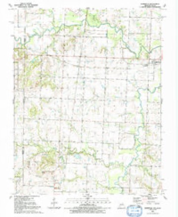
24 topographic sheets cover this place, the earliest surveyed in 1884 and the latest in 1991. It stands in Deerfield Township. It lies in ZIP code area 64741. It stands on Hackberry Branch. The Survey maps it on the Deerfield quadrangle. 40 people lived here at the 2020 count. It stands 781 feet above sea level.
Population over time
2 figuresDeerfield fell from 81 to 40 between 2010 and 2020. These are the recorded population figures Wikidata holds for this place, reached through the Geographic Names Information System number this page is keyed on rather than by name, so they belong to this place and not to another of the same name. Most are census counts, but not all are: an early figure may be a founding or settlement estimate, and an estimate published within five years of a census is left out. The change column is computed, and is left blank where more than 20 years separate a figure from the one before it, because a gap that long is not a change between two counts.
| Year | People | Change |
|---|---|---|
| 2010 | 81 | |
| 2020 | 40 | -41 (-51%) |
Topographic sheets covering this place
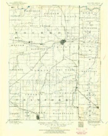
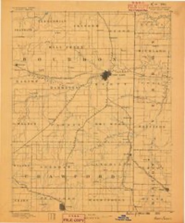
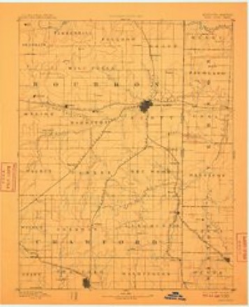
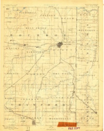
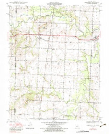
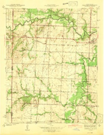
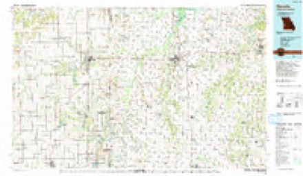
14 surveys from 24 printed sheetsMatched by testing this settlement's coordinate against the published boundary of every sheet in the United States Geological Survey's historical collection. Each opens the scanned sheet at the Survey.
- 1884 USGS Fort Scott quadrangle1:125000
- 1886 USGS Fort Scott quadrangle1:125000
- 1893 USGS Fort Scott quadrangle1:125000, 6 printings
- 1893 USGS Ft Scott quadrangle1:125000
- 1939 USGS Deerfield quadrangle1:24000, 3 printings
- 1942 USGS Deerfield quadrangle1:24000, 2 printings
- 1947 USGS Joplin quadrangle1:250000
- 1949 USGS Joplin quadrangle1:250000
- 1954 USGS Joplin quadrangle1:250000, 3 printings
- 1958 USGS Joplin quadrangle1:250000
- 1959 USGS Joplin quadrangle1:250000
- 1986 USGS Nevada quadrangle1:100000
- 1991 USGS Deerfield quadrangle1:24000
- 1991 USGS Nevada quadrangle1:100000
What happened here
An account from the chapter on Deerfield township. The inset identifies its exact source book and publication year.
Schell City Public School
down into Vernon county on a marauding expedition. They first visited the residence of Col. Smiley H. Sample, who lived on the Fort Scott and Nevada road, a mile northwest of Prewitt. He had a considerable sum of money which his wife secured and hid away when she first heard the robbers. Colonel Sample was called out and shot down while standing on his cellar door.
In the county-history sources
2,685 words on this townshipHistory of Vernon County, Missouri : Past and Present, Including an Account of the Cities, Towns and Villages of the County, published 1911 names this settlement in its chapter on Deerfield Township. These are the passages that mention it, exactly as the scans read.
Deerfield township comprises all of township 35, range 32. It lies between the two Dry woods and immediately south of the Marmaton, and is therefore bordered with timber on three sides. A central portion of the township is gently rolling prairie, abound¬ ing in fine fertile farms.
Passage source: History of Vernon County, Missouri : Past and Present, Including an Account of the Cities, Towns and Villages of the County, published 1911.
The first settlers in this township were Col. George Douglass, who came to the north side of the Marmaton (northeast quarter section 6), a mile northeast of Deerfield, in May, 1834; Abram Redfield and Capt. Alexander Woodruff, who settled near Deer¬ field in 1836; (?) John Chorn, who located near Big Drywood on section 19, two and a half miles south of Deerfield, and Gabriel M. Stratton, who bought out Chorn 's claim in about 1837 or 1838. Ebenezer C. Howe came in 1839 and settled at Deerfield, having previously come to the Union Mission in 1838.
Passage source: History of Vernon County, Missouri : Past and Present, Including an Account of the Cities, Towns and Villages of the County, published 1911.
In 1856 Judge J. H. Requa came over from Bates county and settled on section 5 in the northwestern part of the township, nearly two miles northeast of Deerfield. The quarter section upon - which he settled he purchased from Abram Redfield, Esq., for $120. Although Esquire Redfield had entered the land, he had forgotten it and sent Requa on a wild goose chase to the land office at Clinton to enter it for himself. He was astonished when Requa returned in a little ill-humor and said: "Why, squire, you already own that land you sent me to enter. Colonel Marvin, the register, says you have owned it for five years." The honest and well-meaning Esquire Redfield then agreed to sell the land to Requa for $80 less than even the entry price - a very cheap tract indeed.
Passage source: History of Vernon County, Missouri : Past and Present, Including an Account of the Cities, Towns and Villages of the County, published 1911.
Machine-read from a century-old scan, so expect the errors a machine makes: misspelled names, dropped words, stray characters.
Read the whole chapter on Deerfield Township - it names this place 11 more 11 times.
Fires near this place
15 since 2000Regional context, not property-specific evidence. The federal wildfire occurrence database lists 15 fires within 5 miles of Deerfield between 2000 and 2015, burning about 508 acres in total. None started naturally. None was recorded as arson. Distance is straight-line from the map coordinates, so a fire counted here may appear on a neighbouring settlement's page as well.
| Reported cause | Fires |
|---|---|
| Debris and open burning | 10 |
| Missing data/not specified/undetermined | 4 |
| Equipment and vehicle use | 1 |
The most recent of them, most recent first, with the day each was reported and the service that recorded it.
| Date | Cause | Size | Reported by | Name on the report |
|---|---|---|---|---|
| 23 September 2011 | Debris and open burning | 20 acres | Missouri Department of Conservation | not named |
| 12 September 2000 | Equipment and vehicle use | 35 acres | Missouri Department of Conservation | not named |
| 21 August 2012 | Missing data/not specified/undetermined | 118 acres | Missouri Department of Conservation | DEERFIELD |
| 14 June 2011 | Missing data/not specified/undetermined | 1.0 acres | Missouri Department of Conservation | not named |
| 13 May 2011 | Debris and open burning | 2.0 acres | Missouri Department of Conservation | not named |
| 10 April 2011 | Debris and open burning | 2.0 acres | Missouri Department of Conservation | not named |
| 28 March 2015 | Debris and open burning | 3.0 acres | Missouri Department of Conservation | 122117-10867-03282015-2251 |
| 16 March 2015 | Debris and open burning | 200 acres | Missouri Department of Conservation | 122116-10867-03162015-1640 |
Settlements close enough to share some of these fires:
Mines and quarries near this place
3 within 5 milesRegional context, not property-specific evidence. The federal mineral resources record lists 3 workings within 5 miles of Deerfield: 3 past producers. None of them still produces. What was taken out: Clay. Distance is straight-line from the map coordinates, so a quarry counted here may appear on a neighbouring settlement's page as well.
| Where | Site | Commodity | Status | Recorded |
|---|---|---|---|---|
| Unknown - Clay | Clay | Past Producer | ||
| Unknown - Clay | Clay | Past Producer | ||
| Unknown - Clay | Clay | Past Producer |
Storms near this place
33 since 1997Regional context, not property-specific evidence. The National Weather Service names Deerfield in 33 storm reports between 1997 and 2024: 16 hail, 10 flood, 6 flash flood, 1 thunderstorm wind. No death or injury is recorded in these reports. Each account below is quoted exactly as the forecast office filed it, from the NOAA Storm Events Database, and each date opens the federal record of that event.
| When | Event | Place named | Harm | What the report says |
|---|---|---|---|---|
| April 2024 | Flood | Deerfield | - | Moderate flooding on the Marmaton River closed the westbound lane of Highway 54. |
| April 2024 | Flood | Deerfield | - | State Highway H was closed at the Marmaton River due to flooding. |
| April 2024 | Flood | Deerfield | - | Highway KK at the Marmaton River was closed due to flooding. |
| May 2023 | Hail | Deerfield | - | Quarter sized hail was reported. |
| April 2022 | Hail | Deerfield | - | Quarter sized hail was reported via social media. |
| May 2022 | Flood | Deerfield | - | Highway KK at the low water crossing on the Dry Wood Creek was closed due to flooding. |
| March 2022 | Hail | Deerfield | - | Quarter sized hail was reported. |
| March 2020 | Flood | Deerfield | - | State Highway KK was closed due to flooding at Dry Wood Creek. |
| March 2016 | Hail | Deerfield | - | Law enforcement reported quarter sized hail in Deerfield. |
| March 2016 | Hail | Deerfield | - | Law enforcement reported quarter sized hail in Deerfield. |
| March 2016 | Hail | Deerfield | - | The public reported quarter sized hail just west of Deerfield. |
| May 2015 | Flood | Deerfield | - | Westbound Highway KK was closed south of Deerfield because of flooding. |
| November 2015 | Flood | Deerfield | - | Route KK was closed in Vernon County at Dry Wood Creek. |
| December 2015 | Flood | Deerfield | - | Route KK at Dry Wood Creek was closed due to flooding. |
| June 2013 | Flood | Deerfield | - | Route KK was closed. |
| April 2012 | Flash Flood | Deerfield | - | Both eastbound and westbound lanes of Highway 54 were closed due to flooding of Dry Wood Creek. |
| March 2012 | Flood | Deerfield | - | Route KK between Highway 43 and Route T south of Deerfield was closed due to flooding. |
| December 2009 | Flash Flood | Deerfield | - | Some low water roads and bridges were flooded across the county. |
| May 2009 | Flash Flood | Deerfield | - | Dry Wood Creek flooded a section of Highway KK. |
| April 2008 | Thunderstorm Wind | Deerfield | - | Severe thunderstorm wind gusts downed a few large limbs. |
| May 2007 | Flash Flood | Deerfield | - | Numerous areas of Vernon County experienced flash flooding from excessive rainfall. Highway 54 approximately one mile east of Deerfield was flooded. |
| December 1997 | Flash Flood | Deerfield | - | One to two inches of rain fell on saturated ground during the early morning resulting in flooding of low water crossings along the Marmaton River. |
| March 2017 | Hail | Deerfield | - | no account filed |
| February 2017 | Hail | Deerfield | - | no account filed |
| July 2015 | Hail | Deerfield | - | no account filed |
| March 2015 | Hail | Deerfield | - | no account filed |
| April 2007 | Hail | Deerfield | - | no account filed |
| May 2006 | Hail | Deerfield | - | no account filed |
| May 2006 | Hail | Deerfield | - | no account filed |
| January 2005 | Flash Flood | Deerfield | - | no account filed |
| April 2005 | Hail | Deerfield | - | no account filed |
| April 2005 | Hail | Deerfield | - | no account filed |
| May 2003 | Hail | Deerfield | - | no account filed |
Nearest settlements
The eight closest, with where each one stands in the county. Distances are straight-line, computed from the Geographic Names Information System coordinates.
| Map | Place | Distance | Sheets |
|---|---|---|---|
| Ellis | 3.2 miles | 21 | |
| Katy | 3.5 miles | 24 | |
| Bunnville (historical) | 4.1 miles | 24 | |
| Eve | 4.1 miles | 24 | |
| Temple (historical) | 5.0 miles | 20 | |
| Richards | 5.5 miles | 22 | |
| Moundville | 5.9 miles | 21 | |
| Hong | 6.1 miles | 20 |
Elsewhere
Matched on this settlement's Geographic Names Information System number rather than its name, so it cannot be a different place of the same name in another state.
| Wikipedia article on Deerfield | An encyclopaedic summary. Its text is share-alike, so it is linked here rather than copied. |
| Wikidata item Q2414764 | The structured record the population and elevation above come from. Public domain (CC0). |
Provenance
This settlement is recorded in the Geographic Names Information System as feature 716817. The sheet list is computed by point-in-boundary test against the United States Geological Survey's historical topographic inventory. Both are works of the United States government and carry no copyright under 17 U.S.C. 105.
Wildfire. Short, Karen C. 2022. Spatial wildfire occurrence data for the United States, 1992-2020 [FPA_FOD_20221014]. 6th Edition. Fort Collins, CO: Forest Service Research Data Archive. https://doi.org/10.2737/RDS-2013-0009.6 Collected with United States Government funding and usable without additional permissions or fees.
Mines and quarries. USGS Mineral Resources Data System (MRDS) https://mrdata.usgs.gov/mrds/ A work of the United States government, no copyright under 17 U.S.C. 105.
Storms. NOAA National Centers for Environmental Information, Storm Events Database https://www.ncei.noaa.gov/stormevents/ A work of the United States government, no copyright under 17 U.S.C. 105. Narratives are quoted verbatim from the National Weather Service report and are not edited or summarised.