 Block
Roselle, Missouri
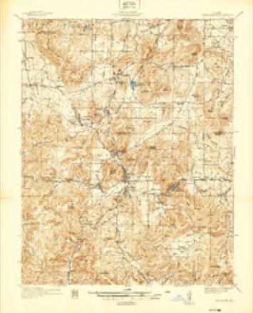
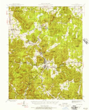
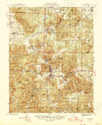
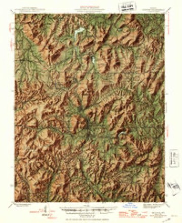
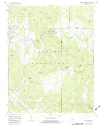
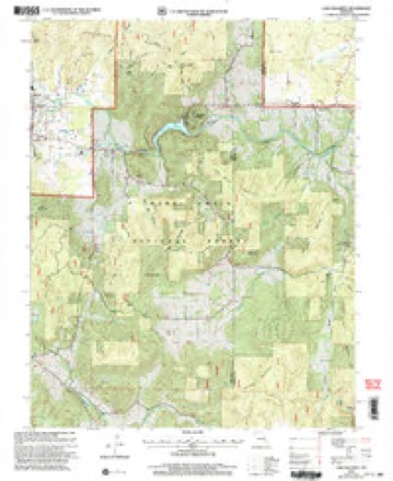
25 topographic sheets cover this place, the earliest surveyed in 1937 and the latest in 2000. It stands in Polk Township. It lies in ZIP code area 63645. It lies near McLard Hill. The Survey maps it on the Lake Killarney quadrangle.
Topographic sheets covering this place
17 surveys from 25 printed sheetsMatched by testing this settlement's coordinate against the published boundary of every sheet in the United States Geological Survey's historical collection. Each opens the scanned sheet at the Survey.
- 1937 USGS Ironton quadrangle1:48000
- 1945 USGS Ironton quadrangle1:62500, 6 printings
- 1946 USGS Ironton quadrangle1:62500, 2 printings
- 1949 USGS Rolla quadrangle1:250000
- 1953 USGS Ironton quadrangle1:62500
- 1953 USGS Rolla quadrangle1:250000
- 1954 USGS Rolla quadrangle1:250000, 2 printings
- 1958 USGS Rolla quadrangle1:250000
- 1959 USGS Rolla quadrangle1:250000
- 1960 USGS Rolla quadrangle1:250000
- 1966 USGS Rolla quadrangle1:250000
- 1968 USGS Lake Killarney quadrangle1:24000, 2 printings
- 1971 USGS Rolla quadrangle1:250000
- 1986 USGS Farmington quadrangle1:100000
- 1987 USGS Farmington quadrangle1:100000
- 1989 USGS Rolla quadrangle1:250000
- 2000 USGS Lake Killarney quadrangle1:24000
Fires near this place
36 since 1992Regional context, not property-specific evidence. The federal wildfire occurrence database lists 36 fires within 5 miles of Roselle between 1992 and 2018, burning about 354 acres in total. 1 started naturally. 2 were recorded as arson. Distance is straight-line from the map coordinates, so a fire counted here may appear on a neighbouring settlement's page as well.
| Reported cause | Fires |
|---|---|
| Debris and open burning | 21 |
| Missing data/not specified/undetermined | 8 |
| Equipment and vehicle use | 3 |
| Arson/incendiarism | 2 |
| Natural | 1 |
| Smoking | 1 |
The most recent of them, most recent first, with the day each was reported and the service that recorded it.
| Date | Cause | Size | Reported by | Name on the report |
|---|---|---|---|---|
| 6 September 2011 | Missing data/not specified/undetermined | 4.0 acres | Missouri Department of Conservation | not named |
| 24 September 2017 | Missing data/not specified/undetermined | 1.0 acres | Missouri Department of Conservation | not named |
| 20 September 2017 | Missing data/not specified/undetermined | under an acre | Missouri Department of Conservation | not named |
| 2 September 2011 | Equipment and vehicle use | 1.0 acres | Missouri Department of Conservation | not named |
| 12 May 1997 | Smoking | 223 acres | Mark Twain National Forest | LAKE KILLARNEY |
| 7 April 2013 | Debris and open burning | 8.3 acres | Mark Twain National Forest | 334 |
| 26 April 2015 | Equipment and vehicle use | 3.0 acres | Missouri Department of Conservation | 124051-06205-04262015-1607 |
| 24 April 2014 | Missing data/not specified/undetermined | 1.0 acres | Missouri Department of Conservation | not named |
Settlements close enough to share some of these fires:
Mines and quarries near this place
9 within 5 milesRegional context, not property-specific evidence. The federal mineral resources record lists 9 workings within 5 miles of Roselle: 8 past producers, 1 prospect. None of them still produces. What was taken out: Iron, Cobalt, Copper, Lead, Nickel, Silver, Cobalt, Nickel, Lead, Copper. Distance is straight-line from the map coordinates, so a quarry counted here may appear on a neighbouring settlement's page as well.
| Where | Site | Commodity | Status | Recorded |
|---|---|---|---|---|
| Henson Shaft Number One | Silver | Past Producer | ||
| Henson Shaft Number Two | Cobalt, Copper, Lead, Nickel | Past Producer | ||
| Killian Shaft | Cobalt, Nickel, Lead, Copper | Past Producer | ||
| Greasy Mine | Iron | Past Producer | Vein | |
| Klein Prospect | Iron | Prospect | ||
| Shut-In Mine | Iron | Past Producer | 1816 | |
| Shut-In Mine | Iron | Past Producer | ||
| Unknown - Iron | Iron | Past Producer | ||
| Unknown - Iron | Iron | Past Producer |
Storms near this place
9 since 1998Regional context, not property-specific evidence. The National Weather Service names Roselle in 9 storm reports between 1998 and 2024: 3 thunderstorm wind, 3 flash flood, 2 tornado, 1 hail. The reports record 1 injury. Each account below is quoted exactly as the forecast office filed it, from the NOAA Storm Events Database, and each date opens the federal record of that event.
| When | Event | Place named | Harm | What the report says |
|---|---|---|---|---|
| September 2006 | Tornado (F2) | Roselle | 1 hurt | The tornado touched down just west of Route K approximately one mile north of Highway 72. As it traveled east, numerous trees and tree limbs were blown down. The tornado moved across U.S. Highway 67 about 4 miles northwest of Fredericktown, knocking down additional trees and tree limbs. The damage path was about 50 yards wide with a damage intensity of F0. As it approached the Fredericktown Municipal Airport, along Copper Mines Road, it began to produce multiple vortices. Two tornadic damage tracks were uncovered across a lake west of Highway OO along County Roads 271 and 272. Over 20 homes, mobile homes and machine sheds sustained varying degrees of damage. Several witnesses observed twin tornadoes merging into one large tornado over this area. The width of the damage path of the northern track was approximately 150 yards wide while the southern damage path was about 100 yards wide. The damage intensity ranged from F1 to F2 in this location. As the large tornado crossed Highway OO, five homes, four mobile homes and several machine sheds sustained varying degrees of damage. The damage path was 300 yards wide and high end F1 intensity. The tornado continued east along County Road 217. Four homes sustained F1 to F2 damage with debris from two of the homes thrown between 50 to 100 yards to the east. Also, numerous trees were either snapped or uprooted in this area. The width of the damage path in this area was about 250 yards. Further east, two tornadic damage tracks were uncovered about half a mile to a mile north of the intersection of County Roads 215 and 217. Four homes sustained varying degrees of damage while one mobile home was completely destroyed. One person was critically injured near the destroyed mobile home. Debris from the mobile home was tossed over 150 yards to the east. The width of the northern damage path was about 150 yards, while the width of the southern track was about 50 yards. The damage was rated high end F1 in this location. Witnesses observed the twin tornadoes merge again into one large funnel as it crossed a second small lake north of County Road 217. Four homes and several machine sheds sustained damage. Also, over a thousand trees around the lake were snapped or uprooted. The damage path was a quarter of a mile wide in this location and was rated F1 to low end F2. The tornado continued eastward into northeast Madison County crossing County Road 219 just south of the Madison/St. Francois County line. Three homes were damaged and three machine sheds were destroyed, as well as thousands of trees snapped or uprooted. The width of the damage path in this area was half a mile and was rated F2. The tornado then crossed into extreme southeastern St. Francois County near Martin Road. |
| August 2022 | Flash Flood | Roselle | $150,000 | Between 6 and 7 inches of rain fell in about a 2 to 3 hour period across northern portions of Madison County. Numerous creeks flooded, including Saline Creek in Fredericktown. Also, several rivers flooded including Little St. Francois River in Fredericktown, which rose 18.6 feet in 5 hours, cresting at 20.49 feet by 715 am. At least 21 people were rescued from the flood waters in and around Fredericktown. One person drove into flood waters on Highway Z on the east side of town and floated into the ditch. They were rescued and sustained no injuries. The flash flooding affected the Holmes Subdivision as well as other homes and businesses along Saline Creek and a creek along South Mine La Motte Avenue. |
| May 2024 | Tornado (EF0) | Roselle | - | As the tornado moved into Madison County it began to move in a more south southeasterly direction, crossing over Highway 72 once again. It snapped off or uprooted numerous large trees throughout this portion of the tornado. Around 2.1 miles southeast of Roselle, it crossed over Highway 72 one final time and remained to the north of Highway 72 for the remainder of its path. The tornado lifted and dissipated 6.6 miles east southeast of Roselle. In Madison County, the tornado was rated EF0 with a path length of 6.64 miles and a max path width of 75 yards. Overall, the tornado was rated EF1 with a path length of 12.01 miles and a max path width of 150 yards. No deaths or injuries were reported. |
| August 2016 | Flash Flood | Roselle | - | Up to 4 inches of rain fell onto already saturated soils causing flash flooding. Numerous roads were flooded including County Road 208 and Route W east of Fredericktown. A number of small creeks and streams were flooding as well. |
| April 2011 | Flash Flood | Roselle | - | Between 7 and 10 inches of rain fell over several days causing flash flooding. Numerous roads were flooded including Routes C, F and V. |
| May 2009 | Thunderstorm Wind | Roselle | - | A swath of straight line winds, commonly known as downbursts, with estimated winds of 60 to 75 mph extended from the northwest corner of Madison county through Fredricktown along Highway 72 to the Bollinger county line. Much of the damage that occurred was due to fallen trees, that were either uprooted or snapped at the base of the trunk. Structural damage was observed in the town of Fredricktown where roofs and windows were damaged, and a few trees fell onto houses. Eye witnesses reported that the severe wind gusts lasted up to 45 minutes in duration. Within the larger swath of severe winds were pockets of more intense damage caused by microbursts with wind gusts greater than 80 mph. The most intense wind damage occurred in the area from 3 miles north of the intersection of Highways F and V. Many large trees were blown down in this area which were caused by estimated gusts as high as 90 mph. |
| July 2006 | Thunderstorm Wind | Roselle | - | A couple of trees were reported down along Highway 72. |
| October 2001 | Thunderstorm Wind | Roselle | - | Thunderstorm wind gusts destroyed a carport and playhouse, overturned a swingset, scattered roofing shingles and tin sheets over a wide area, and destroyed numerous trees at a home near Roselle. It was reported that the trees were simply pushed over. |
| April 1998 | Hail | Roselle | - | County sheriff reported 3/4 inch hail near Roselle. |
Nearest settlements
The eight closest, with where each one stands in the county. Distances are straight-line, computed from the Geographic Names Information System coordinates.
| Map | Place | Distance | Sheets |
|---|---|---|---|
| Lance | 4.0 miles | 19 | |
| Oak Grove | 7.2 miles | 19 | |
| Braddy Ford (historical) | 7.7 miles | 19 | |
| Tin Mountain | 8.1 miles | 19 | |
| Creek Nation | 9.4 miles | 19 | |
| French Mills | 10.1 miles | 20 | |
| Catherine Place | 10.8 miles | 17 | |
| Faro | 11.5 miles | 20 |
Provenance
This settlement is recorded in the Geographic Names Information System as feature 751964. The sheet list is computed by point-in-boundary test against the United States Geological Survey's historical topographic inventory. Both are works of the United States government and carry no copyright under 17 U.S.C. 105.
Wildfire. Short, Karen C. 2022. Spatial wildfire occurrence data for the United States, 1992-2020 [FPA_FOD_20221014]. 6th Edition. Fort Collins, CO: Forest Service Research Data Archive. https://doi.org/10.2737/RDS-2013-0009.6 Collected with United States Government funding and usable without additional permissions or fees.
Mines and quarries. USGS Mineral Resources Data System (MRDS) https://mrdata.usgs.gov/mrds/ A work of the United States government, no copyright under 17 U.S.C. 105.
Storms. NOAA National Centers for Environmental Information, Storm Events Database https://www.ncei.noaa.gov/stormevents/ A work of the United States government, no copyright under 17 U.S.C. 105. Narratives are quoted verbatim from the National Weather Service report and are not edited or summarised.