 Block
San Antonio, Missouri
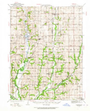
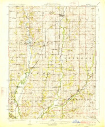
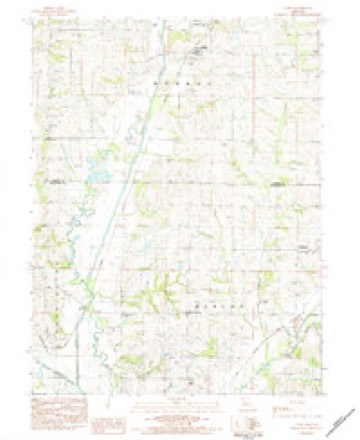
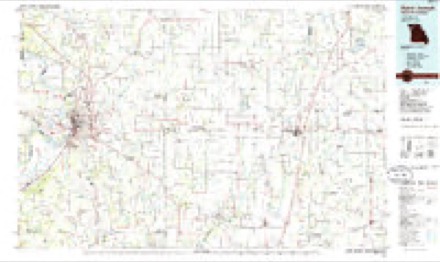
17 topographic sheets cover this place, the earliest surveyed in 1923 and the latest in 1986. It stands in Marion Township. It lies in ZIP code area 64507. The Survey maps it on the Cosby quadrangle. It stands 981 feet above sea level.
Topographic sheets covering this place
8 surveys from 17 printed sheetsMatched by testing this settlement's coordinate against the published boundary of every sheet in the United States Geological Survey's historical collection. Each opens the scanned sheet at the Survey.
- 1923 USGS Clarksdale quadrangle1:62500, 3 printings
- 1925 USGS Clarksdale quadrangle1:62500, 2 printings
- 1950 USGS Kansas City quadrangle1:250000
- 1954 USGS Kansas City quadrangle1:250000
- 1956 USGS Kansas City quadrangle1:250000, 4 printings
- 1960 USGS Kansas City quadrangle1:250000, 3 printings
- 1983 USGS Cosby quadrangle1:24000
- 1986 USGS Saint Joseph quadrangle1:100000, 2 printings




In the county-history sources
5,273 words on this townshipThe History of Buchanan County, Missouri : Containing a History of the County, Its Cities, Towns, Etc., Biographical Sketches of Its Citizens, Buchanan County in the Late War, General and Local Statisics, Portraits of Early Settlers and Prominent Men, History of Missouri, Map of Buchanan County, Etc., Etc, published 1881 names this settlement in its chapter on Marion Township. These are the passages that mention it, exactly as the scans read.
blacksmith and inventor, San Antonio, was born August 13, 185 1, in Lawrence County, Ohio, and was taken to Nodaway County, Missouri, when aboiat five years of age. He spent his boyhood days on a farm, and received a common school education. His father was killed in 1861, and since that time P. R. has taken care of himself. He commenced to learn the blacksmith trade in 1872, and has worked at it since. He moved to San Antonio February 10, 1879, and now has a neat and well arranged shop. He has displayed quite a taste for inventing, and already has two patents. His field roller, known as the Blackford and Davis Roller, is a novelty in design. His patent stalk cutter is something new, and, like the roller, gives vast advantages over other machinery. He also has a new idea in the shape of a three-horse whiffletree. His machinery has met with the approval of some of the best farmers in the state. He was married November 23, 1875, to Miss Sarah S. Owens, a native of Nodaway, County, Missouri, born in 1857. They have had three children, Henry, Ira and Delbert. Himself and wife are members of the Cumberland Church.
was born in Loudoun County, Virginia, January 21, 18 18. His father, Matthew Carpenter, was a representative man in that country. He was a soldier in the war of 18 12, and a descendant of some of the earliest settlers of the Old Dominion. His mother's maiden name was Harriet Benson. She was of French descent. Lewis F. was the eldest of a family of eight children, and was raised in his native county, where he received such education as was attainable in that day and county. At the age of seventeen, he went to Front Royal in Warren County, Virginia, where he spent seven years learning the wagon-making trade. September 28, 1843, he married Miss Elizabeth Varner, a native of Page County, Virginia. In the fall of 1854, he left for the West, and on the 9th of November of the same year arrived in St. Joseph, where he remained till the following spring, when he purchased 254 acres of land in the northeast corner of the county. Of this he has made one of the best improved farms in the county. Few men have contributed more materially to the growth and development of the same. In politics he is a Democrat, having voted that ticket since 1840, when he cast his first vote for President Van Buren. He has raised a family of ten children, nine sons and one daughter : Wm. H., Dr. Stephen F., a representative physician of St. Joseph ; Daniel E., a farmer of Andrew County ; Thos. J. and Robert S., residents of St. Joseph ; John A., Franklin P., Eddie, Burr H. and Mary E. Carpenter. In the fall of 1880, Lewis F. Carpenter was elected Judge of the County Court of Buchanan County, and bears the reputation of a capable and popular official.
merchant and postmaster, San Antonio, was born September 15, 1852, in Muskingum County, Ohio, and was taken to Iowa by his parents, when about two years of age. Came from there to this county in thespring of 1865, and has made this his home ever since. Spent his boyhood days on a farm, receiving his education in the schools of this vicinity, and when fourteen years of age he left home and worked by the month until twenty-two years old. Then married, and commencedfarming on his own account. On the 14th of August, 1880, he purchased the store at this place, which is well filled with a general stock of goods, and' Mr. Taylor has secured a liberal patronage. Was married October 8,. 1874, to Matilda Simmons, a native of this county, born September 23,, 1856. They have three children^Ira P., Ida L. and Delia P. Mrs. T_ is a member of the M. E. Church.
Machine-read from a century-old scan, so expect the errors a machine makes: misspelled names, dropped words, stray characters.
Read the whole chapter on Marion Township - it names this place 1 more 1 time.
Fires near this place
7 since 2018Regional context, not property-specific evidence. The federal wildfire occurrence database lists 7 fires within 5 miles of San Antonio between 2018 and 2019, burning about 19 acres in total. None started naturally. None was recorded as arson. Distance is straight-line from the map coordinates, so a fire counted here may appear on a neighbouring settlement's page as well.
| Reported cause | Fires |
|---|---|
| Missing data/not specified/undetermined | 7 |
The most recent of them, most recent first, with the day each was reported and the service that recorded it.
| Date | Cause | Size | Reported by | Name on the report |
|---|---|---|---|---|
| 11 September 2018 | Missing data/not specified/undetermined | 1.8 acres | Missouri Department of Conservation | 177936-01110-09112018-1615 |
| 5 April 2018 | Missing data/not specified/undetermined | under an acre | Missouri Department of Conservation | 176506-00202-04052018-1830 |
| 28 April 2019 | Missing data/not specified/undetermined | 1.2 acres | Missouri Department of Conservation | 179468-01110-04282019-2110 |
| 20 April 2018 | Missing data/not specified/undetermined | 8.4 acres | Missouri Department of Conservation | 177645-01110-04202018-2227 |
| 10 April 2018 | Missing data/not specified/undetermined | 2.5 acres | Missouri Department of Conservation | 177644-01110-04102018-1806 |
| 21 March 2018 | Missing data/not specified/undetermined | 3.3 acres | Missouri Department of Conservation | 177495-01110-03212018-1415 |
| 13 March 2018 | Missing data/not specified/undetermined | 1.9 acres | Missouri Department of Conservation | 177371-01110-03132018-1326 |
Settlements close enough to share some of these fires:
Mines and quarries near this place
1 within 5 milesRegional context, not property-specific evidence. The federal mineral resources record lists 1 working within 5 miles of San Antonio: 1 past producer. None of them still produces. What was taken out: Sand and Gravel, Construction. Distance is straight-line from the map coordinates, so a quarry counted here may appear on a neighbouring settlement's page as well.
| Where | Site | Commodity | Status | Recorded |
|---|---|---|---|---|
| Unk | Sand and Gravel, Construction | Past Producer |
Storms near this place
9 since 1998Regional context, not property-specific evidence. The National Weather Service names San Antonio in 9 storm reports between 1998 and 2025: 5 thunderstorm wind, 4 hail. No death or injury is recorded in these reports. Each account below is quoted exactly as the forecast office filed it, from the NOAA Storm Events Database, and each date opens the federal record of that event.
| When | Event | Place named | Harm | What the report says |
|---|---|---|---|---|
| May 2025 | Thunderstorm Wind | San Antonio | - | Downed trees in the Easton area. |
| June 2025 | Thunderstorm Wind | San Antonio | - | Several reports of downed power poles and wires in northeastern Buchanan, southwestern DeKalb, and northwestern Clinton counties. |
| June 2025 | Thunderstorm Wind | San Antonio | - | Downed tree across County Line Road. |
| October 2024 | Thunderstorm Wind | San Antonio | - | Downed power lines and power outages near Route 6. |
| June 2012 | Hail | San Antonio | - | Quarter size hail was reported on Highway 36. |
| July 2008 | Thunderstorm Wind | San Antonio | - | Large tree limbs were downed and one 30 inch diameter tree was uprooted. |
| April 1998 | Hail | San Antonio | - | Nickel-size hail was reported by the county sheriff's office at San Antonio. |
| November 2013 | Hail | San Antonio | - | no account filed |
| May 2011 | Hail | San Antonio | - | no account filed |
Nearest settlements
The eight closest, with where each one stands in the county. Distances are straight-line, computed from the Geographic Names Information System coordinates.
| Map | Place | Distance | Sheets |
|---|---|---|---|
| Stockbridge (historical) | 2.0 miles | 17 | |
| Hurlingen | 2.9 miles | 17 | |
| Clair | 3.3 miles | 17 | |
| Easton | 4.4 miles | 15 | |
| Saxton | 5.5 miles | 18 | |
| Evansville | 5.9 miles | 15 | |
| Garrettsburg | 6.2 miles | 15 | |
| Matney | 8.5 miles | 18 |
Elsewhere
Matched on this settlement's Geographic Names Information System number rather than its name, so it cannot be a different place of the same name in another state.
| Wikipedia article on San Antonio | An encyclopaedic summary. Its text is share-alike, so it is linked here rather than copied. |
| Wikidata item Q27984052 | The structured record the population and elevation above come from. Public domain (CC0). |
Provenance
This settlement is recorded in the Geographic Names Information System as feature 725995. The sheet list is computed by point-in-boundary test against the United States Geological Survey's historical topographic inventory. Both are works of the United States government and carry no copyright under 17 U.S.C. 105.
Wildfire. Short, Karen C. 2022. Spatial wildfire occurrence data for the United States, 1992-2020 [FPA_FOD_20221014]. 6th Edition. Fort Collins, CO: Forest Service Research Data Archive. https://doi.org/10.2737/RDS-2013-0009.6 Collected with United States Government funding and usable without additional permissions or fees.
Mines and quarries. USGS Mineral Resources Data System (MRDS) https://mrdata.usgs.gov/mrds/ A work of the United States government, no copyright under 17 U.S.C. 105.
Storms. NOAA National Centers for Environmental Information, Storm Events Database https://www.ncei.noaa.gov/stormevents/ A work of the United States government, no copyright under 17 U.S.C. 105. Narratives are quoted verbatim from the National Weather Service report and are not edited or summarised.