 Block
Slater, Missouri
18 topographic sheets cover this place, the earliest surveyed in 1890 and the latest in 1982. It stands in Cambridge Township. It lies in ZIP code area 65349. The Survey maps it on the Slater quadrangle. 1,834 people lived here at the 2020 count. It stands 850 feet above sea level.
Population over time
2 figuresSlater fell from 1,856 to 1,834 between 2010 and 2020. These are the recorded population figures Wikidata holds for this place, reached through the Geographic Names Information System number this page is keyed on rather than by name, so they belong to this place and not to another of the same name. Most are census counts, but not all are: an early figure may be a founding or settlement estimate, and an estimate published within five years of a census is left out. The change column is computed, and is left blank where more than 20 years separate a figure from the one before it, because a gap that long is not a change between two counts.
| Year | People | Change |
|---|---|---|
| 2010 | 1,856 | |
| 2020 | 1,834 | -22 (-1%) |
Topographic sheets covering this place
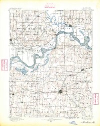
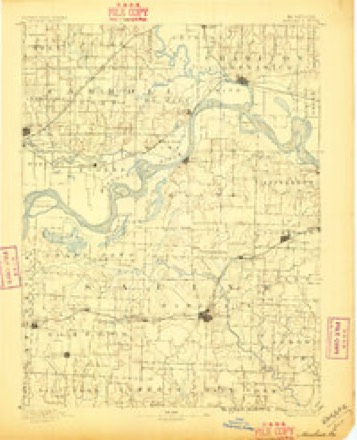
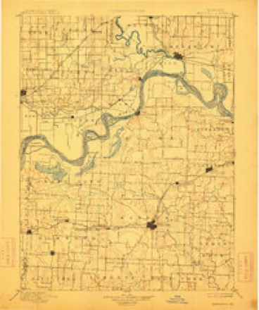
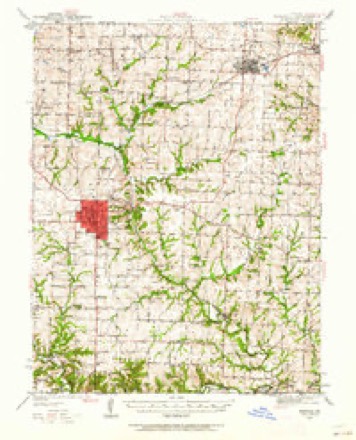
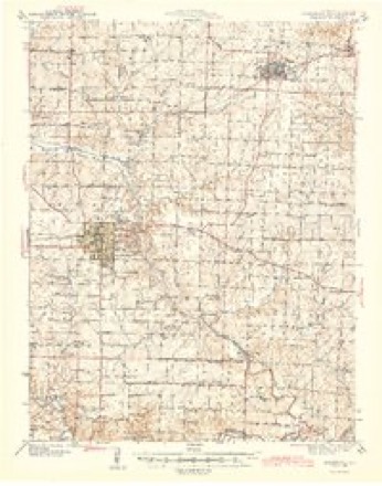
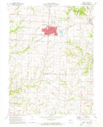
11 surveys from 18 printed sheetsMatched by testing this settlement's coordinate against the published boundary of every sheet in the United States Geological Survey's historical collection. Each opens the scanned sheet at the Survey.
- 1890 USGS Marshall quadrangle1:125000
- 1892 USGS Marshall quadrangle1:125000
- 1901 USGS Marshall quadrangle1:125000, 5 printings
- 1940 USGS Marshall quadrangle1:62500
- 1944 USGS Marshall quadrangle1:62500, 2 printings
- 1953 USGS Moberly quadrangle1:250000
- 1954 USGS Moberly quadrangle1:250000, 3 printings
- 1957 USGS Moberly quadrangle1:250000
- 1960 USGS Moberly quadrangle1:250000
- 1971 USGS Slater quadrangle1:24000
- 1982 USGS Marshall quadrangle1:100000




In the county-history sources
2,184 words on this townshipHistory of Saline County, Missouri, Carefully Written and Compiled from the Most Authentic Official and Private Sources ... with a Condensed History of Missouri; the State Constitution; a Military Record of Its Volunteers in Either Army of the Great Civil War ... Biographical Sketches of Prominent Men .., published 1881 names this settlement in its chapter on Cambridge Township. These are the passages that mention it, exactly as the scans read.
As has been stated, the town of Cambridge was at one time a place of considerable importance, but the building of the Chicago & Alton railroad, or rather its location, away from the town, and the building of Slater and Gilliam have greatly damaged its prosperity. Houses have been moved to Slater, and business men have followed them.
The town of Slater is situated on the line of the Chicago & Alton railway, twelve miles distant from Marshall, and twelve miles distant from Glasgow, and the railroad bridge over the Missouri river at that point. It was first laid off in 1878, and has now, in less than three years, a rapidly increasing population of eighteen hundred. But three years ago it was a corn-field, and now it is the railroad town of the C. & A. road, west of the Mississippi river. It is emphatically and essentially a railroad town, - backed up by a magnificent body of farming lands around it. The railroad interests, however, are the chief interests - and the C. & A. company seem to have concentrated and are still concentrating all their favors and working interests, west of the Mississippi river, here. Slater is one of the general divisions of the road, and the company have built here a splendid round-house and turn-table, large repair shops and handsome offices for train dispatcher and for division superintendent. The round-house is a large and costly building, with capacity to accommodate twenty locomotives. There are about ten miles of side-tracking at Slater. The com- pany already pay out to their employes, regiilarly employed in and around Slater, from fifteen to twenty thousand dollars, which is, of itself, sufficient to insure a good sized town.
But besides all the great advantages growing out of favorable relations with the railroad company. Slater holds an admirable natural position, in the very heart of one of the finest and most productive sections of Saline county. Marshall, her strongest competitor on the line of the railroad, is twelve miles away, and the competing river points are not nearer than ten to twelve miles.
Machine-read from a century-old scan, so expect the errors a machine makes: misspelled names, dropped words, stray characters.
Read the whole chapter on Cambridge Township - it names this place 8 more 8 times.
Fires near this place
18 since 1993Regional context, not property-specific evidence. The federal wildfire occurrence database lists 18 fires within 5 miles of Slater between 1993 and 2017, burning about 259 acres in total. 1 started naturally. 1 was recorded as arson. Distance is straight-line from the map coordinates, so a fire counted here may appear on a neighbouring settlement's page as well.
| Reported cause | Fires |
|---|---|
| Debris and open burning | 10 |
| Equipment and vehicle use | 4 |
| Smoking | 2 |
| Arson/incendiarism | 1 |
| Natural | 1 |
The most recent of them, most recent first, with the day each was reported and the service that recorded it.
| Date | Cause | Size | Reported by | Name on the report |
|---|---|---|---|---|
| 4 September 1999 | Debris and open burning | 3.0 acres | Missouri Department of Conservation | not named |
| 11 September 1999 | Equipment and vehicle use | 3.0 acres | Missouri Department of Conservation | not named |
| 11 September 1999 | Equipment and vehicle use | 4.0 acres | Missouri Department of Conservation | not named |
| 11 September 1999 | Equipment and vehicle use | 3.0 acres | Missouri Department of Conservation | not named |
| 1 September 1999 | Smoking | 7.0 acres | Missouri Department of Conservation | not named |
| 1 August 1993 | Natural | 12 acres | Missouri Department of Conservation | not named |
| 30 July 1993 | Arson/incendiarism | 5.0 acres | Missouri Department of Conservation | not named |
| 21 March 1999 | Debris and open burning | 2.0 acres | Missouri Department of Conservation | not named |
Settlements close enough to share some of these fires:
Mines and quarries near this place
5 within 5 milesRegional context, not property-specific evidence. The federal mineral resources record lists 5 workings within 5 miles of Slater: 5 past producers. None of them still produces. What was taken out: Stone, Crushed/Broken. Distance is straight-line from the map coordinates, so a quarry counted here may appear on a neighbouring settlement's page as well.
| Where | Site | Commodity | Status | Recorded |
|---|---|---|---|---|
| Unknown - Ls | Stone, Crushed/Broken | Past Producer | ||
| Unknown - Ls | Stone, Crushed/Broken | Past Producer | ||
| Unknown - Ls | Stone, Crushed/Broken | Past Producer | ||
| Unknown - Ls | Stone, Crushed/Broken | Past Producer | ||
| Unknown - Ls | Stone, Crushed/Broken | Past Producer |
Storms near this place
16 since 1994Regional context, not property-specific evidence. The National Weather Service names Slater in 16 storm reports between 1994 and 2025: 9 thunderstorm wind, 4 hail, 1 flood, 1 tornado. No death or injury is recorded in these reports. Each account below is quoted exactly as the forecast office filed it, from the NOAA Storm Events Database, and each date opens the federal record of that event.
| When | Event | Place named | Harm | What the report says |
|---|---|---|---|---|
| June 1994 | Thunderstorm Wind | Slater | $500,000 | A large cluster of thunderstorms produced widespread wind damage in the Slater area. Numerous farm buildings were destroyed, with farm equipment damaged. Power lines were blown down and trees uprooted or snapped off. The county's agricultural industry reported damage to 20,000 acres of corn and 10,000 acres of wheat. |
| May 2011 | Tornado (EF1) | Slater | $230,000 | At 1550CST an EF1 tornado touched down around one mile southeast of Slater, and moved east around three and a half miles, before lifting at 1557CST, around a mile south of Gilliam. One home was destroyed near Slater, with one mobile home destroyed and minor outbuilding damage near Gilliam. |
| May 1994 | Hail | Slater | $50,000 | Hail dented several vehicles. Strong wind also snapped large tree limbs and brought down power lines. |
| April 2006 | Hail | Slater | $15,000 | no account filed |
| May 1994 | Thunderstorm Wind | Slater | $5,000 | Hail dented several vehicles. Strong wind also snapped large tree limbs and brought down power lines. |
| June 2025 | Thunderstorm Wind | Slater | - | Social media photos of downed trees in Slater. |
| June 2025 | Thunderstorm Wind | Slater | - | Report of downed and/or uprooted trees on the east side of Slater. |
| June 2025 | Thunderstorm Wind | Slater | - | Tree damage and power lines down in Slater. |
| June 2025 | Thunderstorm Wind | Slater | - | Reports of downed trees in Slater. |
| June 2022 | Thunderstorm Wind | Slater | - | Power poles were down near Slater. |
| August 2016 | Flash Flood | Slater | - | Several roads across western and southern Saline County were impassible due to running water, as a result of heavy rain. |
| June 2014 | Thunderstorm Wind | Slater | - | Trees were blown down causing roof damage. |
| June 1997 | Flood | Slater | - | Heavy rains during thunderstorms caused road flooding along Route 240 a mile and a half south of Slater. |
| May 2003 | Hail | Slater | - | no account filed |
| April 1999 | Hail | Slater | - | no account filed |
| May 1996 | Thunderstorm Wind | Slater | - | no account filed |
Nearest settlements
The eight closest, with where each one stands in the county. Distances are straight-line, computed from the Geographic Names Information System coordinates.
| Map | Place | Distance | Sheets |
|---|---|---|---|
| Orearville | 3.2 miles | 18 | |
| Gilliam | 3.6 miles | 18 | |
| Norton | 3.8 miles | 19 | |
| Sharon | 6.6 miles | 16 | |
| New Frankfort | 6.9 miles | 16 | |
| Cambridge | 6.9 miles | 15 | |
| Montague Hill | 7.6 miles | 19 | |
| Fairville | 8.0 miles | 19 |
Elsewhere
Matched on this settlement's Geographic Names Information System number rather than its name, so it cannot be a different place of the same name in another state.
| Wikipedia article on Slater | An encyclopaedic summary. Its text is share-alike, so it is linked here rather than copied. |
| Wikidata item Q782525 | The structured record the population and elevation above come from. Public domain (CC0). |
Provenance
This settlement is recorded in the Geographic Names Information System as feature 726530. The sheet list is computed by point-in-boundary test against the United States Geological Survey's historical topographic inventory. Both are works of the United States government and carry no copyright under 17 U.S.C. 105.
Wildfire. Short, Karen C. 2022. Spatial wildfire occurrence data for the United States, 1992-2020 [FPA_FOD_20221014]. 6th Edition. Fort Collins, CO: Forest Service Research Data Archive. https://doi.org/10.2737/RDS-2013-0009.6 Collected with United States Government funding and usable without additional permissions or fees.
Mines and quarries. USGS Mineral Resources Data System (MRDS) https://mrdata.usgs.gov/mrds/ A work of the United States government, no copyright under 17 U.S.C. 105.
Storms. NOAA National Centers for Environmental Information, Storm Events Database https://www.ncei.noaa.gov/stormevents/ A work of the United States government, no copyright under 17 U.S.C. 105. Narratives are quoted verbatim from the National Weather Service report and are not edited or summarised.