 Block
Baylor, Montana
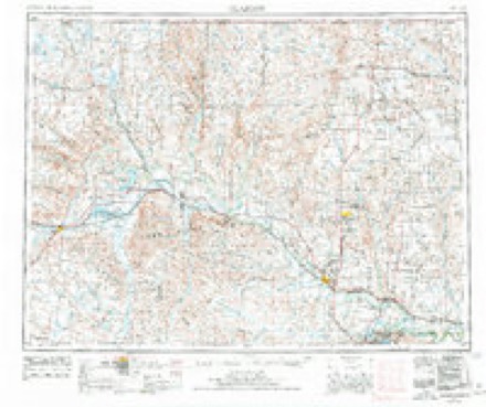
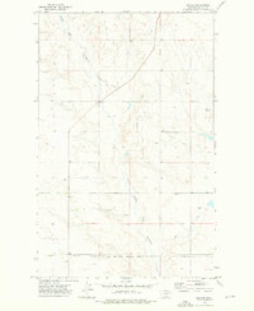
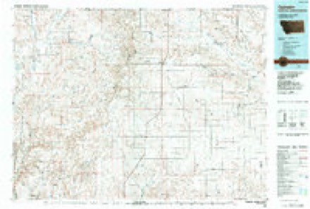
7 topographic sheets cover this place, the earliest surveyed in 1954 and the latest in 1984. It stands in the Opheim census division. It lies in ZIP code area 59230. The Survey maps it on the Baylor quadrangle.
Topographic sheets covering this place
5 surveys from 7 printed sheetsMatched by testing this settlement's coordinate against the published boundary of every sheet in the United States Geological Survey's historical collection. Each opens the scanned sheet at the Survey.
- 1954 USGS Glasgow quadrangle1:250000, 2 printings
- 1957 USGS Glasgow quadrangle1:250000
- 1958 USGS Glasgow quadrangle1:250000, 2 printings
- 1973 USGS Baylor quadrangle1:24000
- 1984 USGS Opheim quadrangle1:100000
Mines and quarries near this place
1 within 5 milesRegional context, not property-specific evidence. The federal mineral resources record lists 1 working within 5 miles of Baylor: 1 unknown. None of them still produces. What was taken out: Sand and Gravel, Construction. Distance is straight-line from the map coordinates, so a quarry counted here may appear on a neighbouring settlement's page as well.
| Where | Site | Commodity | Status | Recorded |
|---|---|---|---|---|
| Gravel Pit | Sand and Gravel, Construction | Unknown |
Storms near this place
37 since 2005Regional context, not property-specific evidence. The National Weather Service names Baylor in 37 storm reports between 2005 and 2025: 17 hail, 17 thunderstorm wind, 2 funnel cloud, 1 tornado. No death or injury is recorded in these reports. Each account below is quoted exactly as the forecast office filed it, from the NOAA Storm Events Database, and each date opens the federal record of that event.
| When | Event | Place named | Harm | What the report says |
|---|---|---|---|---|
| June 2015 | Thunderstorm Wind | Baylor | $5,000 | Public reported 5 power poles snapped by thunderstorm winds. Time based on radar velocity data at this location. |
| June 2025 | Hail | Baylor | - | Hail up to the size of quarters in addition to heavy rain was reported by a trained spotter. |
| May 2024 | Funnel Cloud | Baylor | - | A storm chaser reported a brief funnel cloud along Golden Valley Rd. The funnel cloud lasted only a few minutes. |
| July 2024 | Tornado (EF0) | Baylor | - | A trained spotter reported tornado damage to multiple farm buildings, including a roof completely blown off a barn and some wooden walls knocked down. Wood debris was scattered a great distance and a circular hay bale was blown a large distance. Time was estimated by radar. Path length is estimated from storm survey. |
| July 2024 | Funnel Cloud | Baylor | - | Valley and Daniels County dispatch reported many people calling in with reports of funnel clouds in the Baylor area. The funnel clouds were going in and out of the cloud base. |
| August 2023 | Hail | Baylor | - | A trained spotter reported hail with a diameter up to the size of quarters. |
| June 2022 | Thunderstorm Wind | Baylor | - | A trained spotter measured thunderstorm wind gusts up to 66 mph along with pea size hail. |
| July 2022 | Thunderstorm Wind | Baylor | - | A trained spotter estimated a thunderstorm wind gust of 60 mph. |
| August 2021 | Hail | Baylor | - | A trained spotter reported quarter size hail. |
| May 2020 | Thunderstorm Wind | Baylor | - | Public reported, via Facebook, thunderstorm wind damage, including power lines down, a sliding door ripped off a large farm shop building, several large tree branches down, and a 500 gallon propane tank knocked over. Time estimated by radar. |
| May 2020 | Thunderstorm Wind | Baylor | - | Cooperative observer measured 62 mph wind gusts from a home weather station. |
| May 2020 | Thunderstorm Wind | Baylor | - | Trained spotter measured 63 mph wind gusts. Time estimated from radar. |
| July 2020 | Thunderstorm Wind | Baylor | - | Public recorded a 60 mph wind gust on their personal home weather station. |
| July 2020 | Thunderstorm Wind | Baylor | - | Public reported a 58 mph wind gust. |
| July 2019 | Hail | Baylor | - | Public reported, via social media, hen egg size hail. Time estimate by radar. |
| July 2019 | Hail | Baylor | - | Public reported intermittent hail, eventually up to the size of quarters. |
| July 2019 | Hail | Baylor | - | Trained spotter reported hail up to the size of quarters. |
| July 2018 | Thunderstorm Wind | Baylor | - | Trained spotter estimated 60 mph wind gusts. |
| June 2016 | Thunderstorm Wind | Baylor | - | Trained spotter reported shingles blown off a roof and part of a chimney broken from strong winds. |
| June 2016 | Thunderstorm Wind | Baylor | - | Trained spotter measured 67 mph wind gusts. |
| June 2015 | Hail | Baylor | - | Trained spotter reported penny-sized hail with heavy rain. |
| June 2015 | Hail | Baylor | - | Trained spotter reported penny-sized hail with heavy rain. |
| June 2015 | Hail | Baylor | - | Trained spotter reported nickel-sized hail. |
| July 2015 | Thunderstorm Wind | Baylor | - | Co-operative observer reported 64 mph winds, pea-sized hail, and 1.32 inches of rain. |
| July 2015 | Hail | Baylor | - | Co-operative observer reported small amounts of hail up to the size of nickels and wind gusts up to 36 mph. |
| May 2014 | Thunderstorm Wind | Baylor | - | Trained spotter measured a 63 mph wind gust and 0.95 inches of rain in 10 minutes. |
| July 2013 | Thunderstorm Wind | Baylor | - | Also had 3/4 hail. |
| July 2013 | Thunderstorm Wind | Baylor | - | Trained spotter reported significant crop damage from thunderstorm winds and debris near mile marker 34 on Montana Highway 24. |
| July 2013 | Thunderstorm Wind | Baylor | - | Trained spotter measured a 69 mph wind gust at their home weather station. |
| July 2013 | Hail | Baylor | - | Public reported penny-sized hail and 60 mph winds among nearly 2 inches of rainfall in just 20 minutes. |
| May 2013 | Hail | Baylor | - | Public reported tea cup-sized hail and over 1 inch of rain. |
| August 2013 | Hail | Baylor | - | Public reported quarter-sized hail. |
| June 2012 | Hail | Baylor | - | A trained spotter reported penny sized hail partially covering the ground along with heavy rain 6 miles northwest of Baylor in Valley County. |
| July 2012 | Thunderstorm Wind | Baylor | - | Spotter estimated 60 mph winds and reported pea-sized hail, small tree branches downed and a power outage. |
| June 2005 | Hail | Baylor | - | The hail was accompanied by 40 to 50 mph winds. |
| June 2005 | Hail | Baylor | - | no account filed |
| June 2005 | Hail | Baylor | - | no account filed |
Nearest settlements
The eight closest, with where each one stands in the county. Distances are straight-line, computed from the Geographic Names Information System coordinates.
| Map | Place | Distance | Sheets |
|---|---|---|---|
| Wild Rose (historical) | 7.2 miles | 7 | |
| Midway (historical) | 7.8 miles | 7 | |
| Kansas Flat (historical) | 8.5 miles | 8 | |
| Opheim | 13.9 miles | 7 | |
| Avondale (historical) | 15.6 miles | 7 | |
| Larslan | 16.2 miles | 7 | |
| Glentana | 17.6 miles | 7 | |
| Saint Marie | 18.2 miles | 9 |
Provenance
This settlement is recorded in the Geographic Names Information System as feature 802015. The sheet list is computed by point-in-boundary test against the United States Geological Survey's historical topographic inventory. Both are works of the United States government and carry no copyright under 17 U.S.C. 105.
Mines and quarries. USGS Mineral Resources Data System (MRDS) https://mrdata.usgs.gov/mrds/ A work of the United States government, no copyright under 17 U.S.C. 105.
Storms. NOAA National Centers for Environmental Information, Storm Events Database https://www.ncei.noaa.gov/stormevents/ A work of the United States government, no copyright under 17 U.S.C. 105. Narratives are quoted verbatim from the National Weather Service report and are not edited or summarised.