 Block
Larslan, Montana
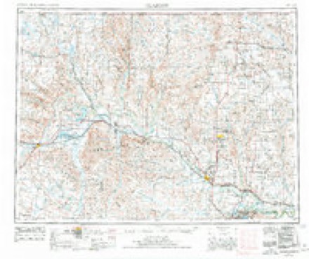
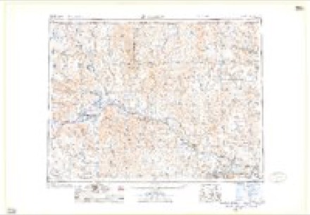
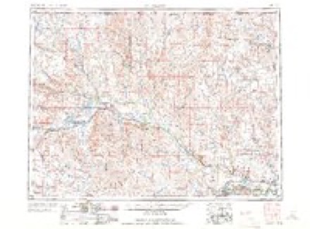
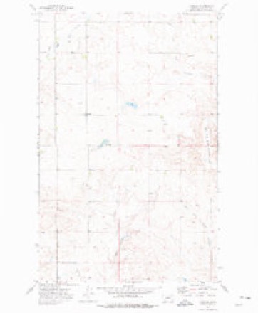
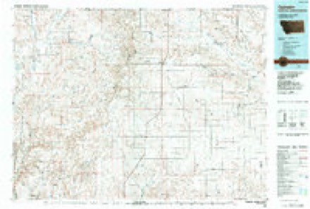
7 topographic sheets cover this place, the earliest surveyed in 1954 and the latest in 1984. It stands in the Fort Peck Reservation census division. It lies in ZIP code area 59244. The Survey maps it on the Larslan quadrangle. It stands 2,910 feet above sea level.
Topographic sheets covering this place
5 surveys from 7 printed sheetsMatched by testing this settlement's coordinate against the published boundary of every sheet in the United States Geological Survey's historical collection. Each opens the scanned sheet at the Survey.
- 1954 USGS Glasgow quadrangle1:250000, 2 printings
- 1957 USGS Glasgow quadrangle1:250000
- 1958 USGS Glasgow quadrangle1:250000, 2 printings
- 1973 USGS Larslan quadrangle1:24000
- 1984 USGS Opheim quadrangle1:100000
Fires near this place
5 since 2008Regional context, not property-specific evidence. The federal wildfire occurrence database lists 5 fires within 5 miles of Larslan between 2008 and 2020, burning about 614 acres in total. None started naturally. 1 was recorded as arson. Distance is straight-line from the map coordinates, so a fire counted here may appear on a neighbouring settlement's page as well.
| Reported cause | Fires |
|---|---|
| Equipment and vehicle use | 4 |
| Arson/incendiarism | 1 |
The most recent of them, most recent first, with the day each was reported and the service that recorded it.
| Date | Cause | Size | Reported by | Name on the report |
|---|---|---|---|---|
| 19 August 2020 | Equipment and vehicle use | 29 acres | Fort Peck Agency | GREEN LENTLE |
| 22 July 2015 | Equipment and vehicle use | 64 acres | Fort Peck Agency | BACK AGAIN |
| 21 July 2015 | Equipment and vehicle use | 329 acres | Fort Peck Agency | TIMED OUT |
| 1 July 2008 | Arson/incendiarism | 30 acres | Fort Peck Agency | 1712 RICHLAND RD. |
| 14 May 2009 | Equipment and vehicle use | 161 acres | Fort Peck Agency | COOL FIRE |
Settlements close enough to share some of these fires:
Mines and quarries near this place
2 within 5 milesRegional context, not property-specific evidence. The federal mineral resources record lists 2 workings within 5 miles of Larslan: 1 unknown, 1 producer. 1 still produces. What was taken out: Sand and Gravel, Construction. Distance is straight-line from the map coordinates, so a quarry counted here may appear on a neighbouring settlement's page as well.
| Where | Site | Commodity | Status | Recorded |
|---|---|---|---|---|
| Gravel Pit | Sand and Gravel, Construction | Producer | ||
| Gravel Pits | Sand and Gravel, Construction | Unknown |
Storms near this place
43 since 1998Regional context, not property-specific evidence. The National Weather Service names Larslan in 43 storm reports between 1998 and 2025: 25 hail, 11 thunderstorm wind, 3 flash flood, 2 tornado. No death or injury is recorded in these reports. Each account below is quoted exactly as the forecast office filed it, from the NOAA Storm Events Database, and each date opens the federal record of that event.
| When | Event | Place named | Harm | What the report says |
|---|---|---|---|---|
| August 2025 | Hail | Larslan | - | An NWS employee reported mainly nickel size hail and a few hail stones up to the size of quarters. |
| August 2024 | Hail | Larslan | - | Public reported hail up to the size of tennis balls. Wind gusts were estimated at 60 mph. |Damage to pick-ups was also reported. |
| August 2024 | Hail | Larslan | - | Public reported hail up to the size of quarters. Hail accumulated up to a depth of 6 inches in spots. |
| August 2024 | Hail | Larslan | - | Public reported hail up to the size of quarters. |
| August 2024 | Thunderstorm Wind | Larslan | - | A NWS Employee estimated 60 mph thunderstorm wind gusts. |
| July 2024 | Tornado (EF0) | Larslan | - | Public reported via Facebook of a tornado touching down and remaining on the ground for approximately five to ten minutes. A circular hay bale also caught fire from a lightning strike. Path length is estimated from storm survey. |
| July 2024 | Funnel Cloud | Larslan | - | Public reported multiple funnel clouds just northeast of Larslan. |
| July 2024 | Hail | Larslan | - | Public reported hail up to the size of golf balls. |
| July 2024 | Flash Flood | Larslan | - | Public reported flash flooding with water reaching a depth of 2 feet. A homeowner reported water flowing into their basement from this flash flood. |
| July 2024 | Hail | Larslan | - | Public reported hail up to the size of ping pong balls. A funnel cloud was also sighted northwest of their location. |
| July 2024 | Hail | Larslan | - | Public reported hail up to the size of softballs. Significant and widespread crop damage was caused. |
| July 2024 | Funnel Cloud | Larslan | - | A trained spotter reported a funnel cloud northwest of their location, as well as submitted video and multiple photos. |
| July 2024 | Tornado (EF0) | Larslan | - | Public reported, via Facebook, video and photos of a tornado with debris at the surface visible. Visual evidence of a nearby power pole damaged and damage to a wind break made of metal and wood. Time is estimated by radar. Path length is estimated from storm survey. |
| July 2022 | Hail | Larslan | - | Public reported, via Facebook, hail up to the size of golf balls. |
| May 2020 | Thunderstorm Wind | Larslan | - | Public reported, via Facebook, thunderstorm wind damage, including a roof blown off a farm building and a fence blown over south of Fuhrman Road. Time estimated from radar. Wind speed measured from a home weather station. |
| May 2020 | Thunderstorm Wind | Larslan | - | Public reported, via Facebook, a farm building was destroyed by severe thunderstorm wind gusts. Winds speed estimated. Time estimated by radar. |
| May 2020 | Thunderstorm Wind | Larslan | - | Public reported, via Facebook, 72 mph wind gusts measured from a home weather station. Time estimated by radar. |
| June 2020 | Hail | Larslan | - | Trained spotter, at 2 WSW Larslan, reported quarter size hail initially for a few minutes, which then diminished to dime size about 10 minutes later. Wind gusts up to 52 mph were also measured. |
| June 2016 | Thunderstorm Wind | Larslan | - | An off-duty NWS employee estimated 75 mph wind gusts. |
| June 2015 | Hail | Larslan | - | Trained spotter reported hail up to the size of quarters covering the ground. |
| June 2015 | Hail | Larslan | - | Trained spotter reported quarter-sized hail. |
| June 2015 | Hail | Larslan | - | Trained spotter reported hail up to the sized of golf balls lasting for about 10 minutes. |
| June 2015 | Hail | Larslan | - | Trained spotter reported penny-sized hail with very heavy rain. |
| July 2014 | Thunderstorm Wind | Larslan | - | Public reported large round hay bales were blown around and tipped over, having travelled from one field, through a ditch, and onto another field. |
| July 2013 | Hail | Larslan | - | Trained spotter reported ping pong ball sized hail near the church at Grain, 20 miles north of Nashua. |
| July 2012 | Thunderstorm Wind | Larslan | - | Spotter estimated 60 mph wind gusts and reported pea-sized hail and brief heavy rain. |
| June 2011 | Thunderstorm Wind | Larslan | - | Wind gust is estimated. Small trees and large limbs were downed. |
| June 2011 | Thunderstorm Wind | Larslan | - | Three fencing panels were blown down. Numerous small limbs and a small tree were blown down. Shingles were blown off of roof. |
| May 2010 | Hail | Larslan | - | Pea to nickle sized hail fell and piled up a couple of inches. |
| July 2010 | Thunderstorm Wind | Larslan | - | NWS Employee estimated wind at 65 to 70 mph. Strong wind damaged sliding glass door 6 miles east of Larslan. |
| September 2009 | Hail | Larslan | - | Some quarter-size hail, but mostly nickel and dime size. |
| July 2009 | Hail | Larslan | - | Ten minutes of hail that had dime and nickel-size pieces in it. |
| August 2008 | Hail | Larslan | - | Pea to penny size hail lasted 20 minutes along with estimated gusts to 60 mph and 2.5 inches of rain. Nearby crops were destroyed and hail drifts up to six inches deep were still noted 10 hours after the storm. |
| May 2006 | Flash Flood | Larslan | - | Water 4 to 5 inches deep was flowing over Sather road. A small irrigation reservoir was full and running over the dam. No damage was reported. |
| July 2000 | Flash Flood | Larslan | - | Water running over Cool Rd 6-8 inches deep. |
| August 2008 | Thunderstorm Wind | Larslan | - | no account filed |
| July 2007 | Hail | Larslan | - | no account filed |
| July 2007 | Hail | Larslan | - | no account filed |
| July 2007 | Hail | Larslan | - | no account filed |
| July 2000 | Hail | Larslan | - | no account filed |
| July 1998 | Hail | Larslan | - | no account filed |
| August 1998 | Hail | Larslan | - | no account filed |
| July 1998 | Hail | Larslan | - | no account filed |
Nearest settlements
The eight closest, with where each one stands in the county. Distances are straight-line, computed from the Geographic Names Information System coordinates.
| Map | Place | Distance | Sheets |
|---|---|---|---|
| Avondale (historical) | 6.0 miles | 7 | |
| Wild Rose (historical) | 9.2 miles | 7 | |
| Midway (historical) | 13.9 miles | 7 | |
| Baylor | 16.2 miles | 7 | |
| Richland | 18.4 miles | 7 | |
| Glentana | 18.8 miles | 7 | |
| Lustre | 20.9 miles | 7 | |
| Saint Marie | 21.7 miles | 9 |
Elsewhere
Matched on this settlement's Geographic Names Information System number rather than its name, so it cannot be a different place of the same name in another state.
| Wikipedia article on Larslan | An encyclopaedic summary. Its text is share-alike, so it is linked here rather than copied. |
| Wikidata item Q18154282 | The structured record the population and elevation above come from. Public domain (CC0). |
Provenance
This settlement is recorded in the Geographic Names Information System as feature 767926. The sheet list is computed by point-in-boundary test against the United States Geological Survey's historical topographic inventory. Both are works of the United States government and carry no copyright under 17 U.S.C. 105.
Wildfire. Short, Karen C. 2022. Spatial wildfire occurrence data for the United States, 1992-2020 [FPA_FOD_20221014]. 6th Edition. Fort Collins, CO: Forest Service Research Data Archive. https://doi.org/10.2737/RDS-2013-0009.6 Collected with United States Government funding and usable without additional permissions or fees.
Mines and quarries. USGS Mineral Resources Data System (MRDS) https://mrdata.usgs.gov/mrds/ A work of the United States government, no copyright under 17 U.S.C. 105.
Storms. NOAA National Centers for Environmental Information, Storm Events Database https://www.ncei.noaa.gov/stormevents/ A work of the United States government, no copyright under 17 U.S.C. 105. Narratives are quoted verbatim from the National Weather Service report and are not edited or summarised.