 Block
Rimrock, Montana
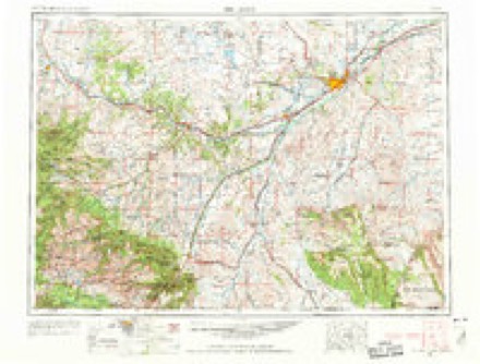
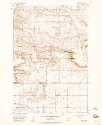
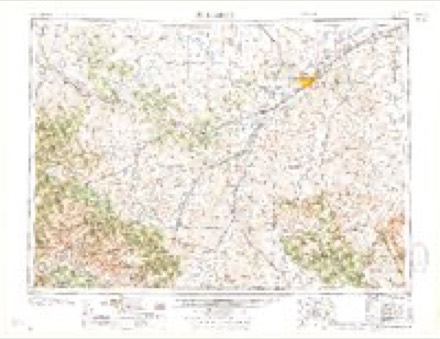
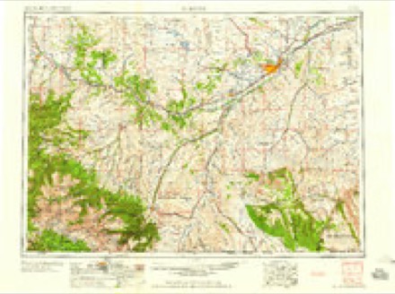
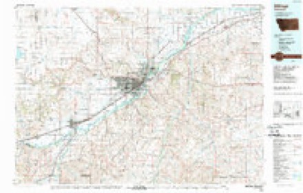
11 topographic sheets cover this place, the earliest surveyed in 1954 and the latest in 1989. It stands in the Northwest Yellowstone census division. It lies in ZIP code area 59106. It stands on Little Cove Creek. The Survey maps it on the Rimrock quadrangle.
Topographic sheets covering this place
5 surveys from 11 printed sheetsMatched by testing this settlement's coordinate against the published boundary of every sheet in the United States Geological Survey's historical collection. Each opens the scanned sheet at the Survey.
- 1954 USGS Billings quadrangle1:250000, 4 printings
- 1956 USGS Rimrock quadrangle1:24000, 3 printings
- 1957 USGS Billings quadrangle1:250000
- 1958 USGS Billings quadrangle1:250000, 2 printings
- 1989 USGS Billings quadrangle1:100000
Fires near this place
58 since 1992Regional context, not property-specific evidence. The federal wildfire occurrence database lists 58 fires within 5 miles of Rimrock between 1992 and 2020, burning about 5,277 acres in total. 6 started naturally. None was recorded as arson. Distance is straight-line from the map coordinates, so a fire counted here may appear on a neighbouring settlement's page as well.
| Reported cause | Fires |
|---|---|
| Missing data/not specified/undetermined | 43 |
| Natural | 6 |
| Fireworks | 2 |
| Equipment and vehicle use | 2 |
| Power generation/transmission/distribution | 2 |
| Debris and open burning | 1 |
| Smoking | 1 |
| Recreation and ceremony | 1 |
The most recent of them, most recent first, with the day each was reported and the service that recorded it.
| Date | Cause | Size | Reported by | Name on the report |
|---|---|---|---|---|
| 7 September 2020 | Missing data/not specified/undetermined | 4.0 acres | Yellowstone County | SE 1121 SHILOH BLVD. CROSSING |
| 3 September 2002 | Missing data/not specified/undetermined | 15 acres | Southern Land Office | not named |
| 9 August 2002 | Missing data/not specified/undetermined | 15 acres | Miles City Field Office | HOMEWARD P |
| 7 August 2017 | Equipment and vehicle use | 6.6 acres | Southern Land Office | CENTRAL AVE AT S. 64TH ST |
| 30 August 2017 | Missing data/not specified/undetermined | under an acre | Southern Land Office | 1505 LENHARDT LN/GRAND AVE |
| 3 August 2018 | Natural | under an acre | Southern Land Office | TWIN TREE |
| 2 August 2020 | Missing data/not specified/undetermined | 1.5 acres | Yellowstone County | HWY 3 MM 7 |
| 2 August 2018 | Natural | 530 acres | Billings Field Office | MEDICINE MAN |
Settlements close enough to share some of these fires:
Storms near this place
24 since 2007Regional context, not property-specific evidence. The National Weather Service names Rimrock in 24 storm reports between 2007 and 2014: 14 hail, 7 thunderstorm wind, 1 funnel cloud, 1 tornado. No death or injury is recorded in these reports. Each account below is quoted exactly as the forecast office filed it, from the NOAA Storm Events Database, and each date opens the federal record of that event.
| When | Event | Place named | Harm | What the report says |
|---|---|---|---|---|
| June 2013 | Thunderstorm Wind | Rimrock | - | Wind gusts of 60 mph were estimated along with golf ball size hail on the northwest side of Billings. |
| June 2013 | Hail | Rimrock | - | Half dollar size hail along with wind gusts estimated at 70 mph were reported. |
| June 2013 | Thunderstorm Wind | Rimrock | - | Thunderstorm wind gusts up to 70 mph along with half dollar size hail were reported just west of Billings. |
| June 2013 | Thunderstorm Wind | Rimrock | - | An estimated wind gust of 60 mph was reported on the west end of Billings. |
| September 2013 | Thunderstorm Wind | Rimrock | - | A wind gust of 70 mph was estimated just west of Billings. |
| September 2013 | Flash Flood | Rimrock | - | A severe thunderstorm packing high winds, hail, and torrential rain battered the city of Billings and nearby areas during the evening of the 7th. Almost 2 inches of rain fell in 30-45 minutes causing significant flooding for some residential areas, as well as in the downtown area. Winds gusted to 73 mph at the Billings Airport which resulted in power outages for thousands of people across town. Some power poles were knocked down and numerous large trees were uprooted. In addition, half-dollar size hail occurred just west of Billings. |A large rock blocked Zimmerman Trail and Highway 3 west of Zimmerman Trail had drifts of hail alongside the road. The rain that washed off the Rimrocks pushed debris, including mud and rocks, onto North 27th Street near Montana State University Billings. High water at the corner of First Avenue North and Main Street caused multiple cars to stall on the road. In addition, all of the underpasses in the downtown area were closed due to flooding. |
| June 2012 | Thunderstorm Wind | Rimrock | - | A full size Aspen tree was blown down into a roadway. |
| June 2011 | Tornado (EF0) | Rimrock | - | At approximately 845pm, a tornado briefly touched down at a residence 5 miles east of Molt. A 15 foot grain bin was destroyed, picked up and thrown into an outbuilding 50 feet to the southwest. Additional minor damage occurred to the siding and room on a nearby house. |
| August 2010 | Thunderstorm Wind | Rimrock | - | Spotter estimated wind gust to be 60 mph as tree branches were breaking. |
| July 2009 | Funnel Cloud | Rimrock | - | There were numerous reports of a funnel cloud northwest of the Billings airport. |
| May 2007 | Hail | Rimrock | - | Numerous quarter size and a few golfball size hail stones were reported. |
| May 2014 | Hail | Rimrock | - | no account filed |
| June 2013 | Hail | Rimrock | - | no account filed |
| September 2013 | Hail | Rimrock | - | no account filed |
| September 2013 | Hail | Rimrock | - | no account filed |
| September 2013 | Hail | Rimrock | - | no account filed |
| September 2013 | Hail | Rimrock | - | no account filed |
| August 2013 | Hail | Rimrock | - | no account filed |
| August 2013 | Hail | Rimrock | - | no account filed |
| June 2010 | Hail | Rimrock | - | no account filed |
| August 2009 | Hail | Rimrock | - | no account filed |
| May 2007 | Hail | Rimrock | - | no account filed |
| March 2007 | Thunderstorm Wind | Rimrock | - | no account filed |
| July 2007 | Hail | Rimrock | - | no account filed |
Nearest settlements
The eight closest, with where each one stands in the county. Distances are straight-line, computed from the Geographic Names Information System coordinates.
Provenance
This settlement is recorded in the Geographic Names Information System as feature 775771. The sheet list is computed by point-in-boundary test against the United States Geological Survey's historical topographic inventory. Both are works of the United States government and carry no copyright under 17 U.S.C. 105.
Wildfire. Short, Karen C. 2022. Spatial wildfire occurrence data for the United States, 1992-2020 [FPA_FOD_20221014]. 6th Edition. Fort Collins, CO: Forest Service Research Data Archive. https://doi.org/10.2737/RDS-2013-0009.6 Collected with United States Government funding and usable without additional permissions or fees.
Storms. NOAA National Centers for Environmental Information, Storm Events Database https://www.ncei.noaa.gov/stormevents/ A work of the United States government, no copyright under 17 U.S.C. 105. Narratives are quoted verbatim from the National Weather Service report and are not edited or summarised.