 Block
Weldon, Montana
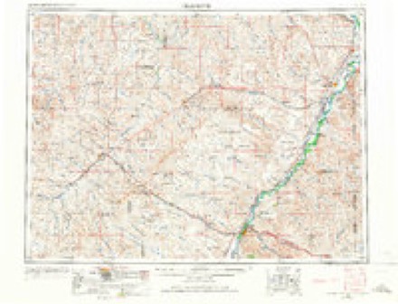
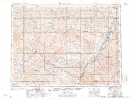
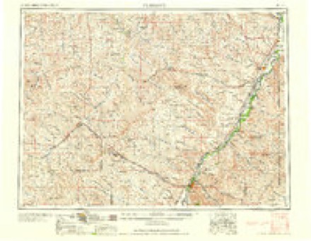
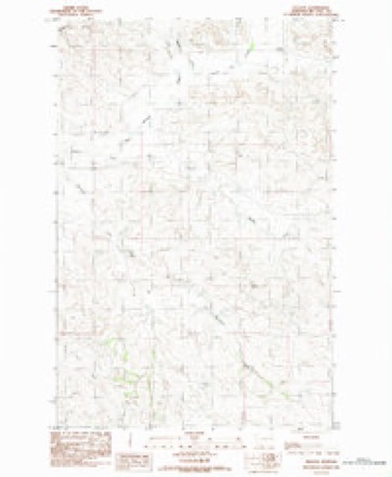
5 topographic sheets cover this place, the earliest surveyed in 1954 and the latest in 1983. It stands in the Circle census division. It lies in ZIP code area 59215. The Survey maps it on the Weldon quadrangle.
Topographic sheets covering this place
4 surveys from 5 printed sheetsMatched by testing this settlement's coordinate against the published boundary of every sheet in the United States Geological Survey's historical collection. Each opens the scanned sheet at the Survey.
- 1954 USGS Glendive quadrangle1:250000, 2 printings
- 1957 USGS Glendive quadrangle1:250000
- 1958 USGS Glendive quadrangle1:250000
- 1983 USGS Weldon quadrangle1:24000
Fires near this place
2 since 2017Regional context, not property-specific evidence. The federal wildfire occurrence database lists 2 fires within 5 miles of Weldon in 2017, burning about 70 acres in total. None started naturally. None was recorded as arson. Distance is straight-line from the map coordinates, so a fire counted here may appear on a neighbouring settlement's page as well.
| Reported cause | Fires |
|---|---|
| Equipment and vehicle use | 2 |
The most recent of them, most recent first, with the day each was reported and the service that recorded it.
| Date | Cause | Size | Reported by | Name on the report |
|---|---|---|---|---|
| 7 August 2017 | Equipment and vehicle use | 40 acres | Eastern Land Office | MCGUIRE |
| 16 July 2017 | Equipment and vehicle use | 30 acres | Eastern Land Office | WELDON 3 |
Storms near this place
60 of 69 shownRegional context, not property-specific evidence. The National Weather Service names Weldon in 69 storm reports between 1995 and 2026: 35 thunderstorm wind, 30 hail, 1 flash flood, 1 heavy rain. No death or injury is recorded in these reports. Each account below is quoted exactly as the forecast office filed it, from the NOAA Storm Events Database, and each date opens the federal record of that event.
| When | Event | Place named | Harm | What the report says |
|---|---|---|---|---|
| May 2020 | Thunderstorm Wind | Weldon | $100,000 | At the Nelson Creek Recreation Area, law enforcement officials reported three unoccupied camping trailers were rolled and destroyed. |
| May 2020 | Thunderstorm Wind | Weldon | $100,000 | NWS employees conducted a damage survey of a collapsed barn, estimating winds speeds of 85 to 90 mph. |
| July 2000 | Flash Flood | Weldon | $30,000 | Heavy rain caused caused a bridge on the Weldon Road to be washed out. |
| July 1999 | Hail | Weldon | $25,000 | A severe thunderstorm dropped softball sized hail near the small community of Weldon. Windows were broken out of homes and pickup trucks. At 11 a.m. the next morning, the hail was still the size of quarters. |
| April 2026 | Thunderstorm Wind | Weldon | - | The Fort Peck S Montana Climate Office mesonet site (MTM87) recorded a 66 mph wind gust. |
| May 2025 | Thunderstorm Wind | Weldon | - | Report occurred at the Mesonet station MTM87 Fort Peck S. |
| May 2024 | Thunderstorm Wind | Weldon | - | The Fort Peck S mesonet station (MTM87) measured a 61 mph thunderstorm wind gust. |
| June 2024 | Thunderstorm Wind | Weldon | - | Public reported, via Facebook, a 60 mph thunderstorm wind gust. They lost power for 3 hours and it blew trash cans off the property. |
| August 2024 | Thunderstorm Wind | Weldon | - | The Fort Peck S mesonet station (MTM87) measured a 67 mph thunderstorm wind gust. |
| August 2024 | Thunderstorm Wind | Weldon | - | The McGuire Creek MT-24 DOT site (MTMCG) measured an 81 mph thunderstorm wind gust. |
| August 2024 | Thunderstorm Wind | Weldon | - | Public reported, via Facebook, an estimated 70 mph thunderstorm wind gust. |
| July 2024 | Thunderstorm Wind | Weldon | - | The DW0807 Circle mesonet site (D0807) measured a 64 mph thunderstorm wind gust. |
| July 2024 | Hail | Weldon | - | Public reported, via Facebook, hail up to the size of golf balls. The public also reported windows broken in a mobile home due to the hail. |
| August 2023 | Thunderstorm Wind | Weldon | - | The Fort Peck S mesonet site (MTM87), recorded a thunderstorm wind gust of 58 mph. |
| May 2022 | Thunderstorm Wind | Weldon | - | The mesonet site (MTM87) at Fort Peck S. recorded a 59 mph thunderstorm wind gust. |
| August 2022 | Thunderstorm Wind | Weldon | - | Public estimated a thunderstorm wind gust of 65 mph. |
| July 2022 | Thunderstorm Wind | Weldon | - | A trained spotter estimated a thunderstorm wind gust of 60 mph. |
| July 2022 | Thunderstorm Wind | Weldon | - | The Fort Peck S mesonet site (MTM87) recorded a thunderstorm wind gust of 58 mph. |
| July 2022 | Thunderstorm Wind | Weldon | - | Public reported a thunderstorm wind gust estimated at 65 mph. |
| June 2021 | Thunderstorm Wind | Weldon | - | Trained spotter estimated a thunderstorm wind gust up to 65 mph, which resulted in a power outage. |
| June 2021 | Thunderstorm Wind | Weldon | - | Trained spotter reported 60 mph thunderstorm wind gusts, lasting for 10 minutes, along with heavy rain. |
| June 2021 | Thunderstorm Wind | Weldon | - | Public reported a 60 mph thunderstorm wind gust along with nickel size hail. |
| June 2021 | Thunderstorm Wind | Weldon | - | McCone County Emergency Manager reported 60 mph thunderstorm wind gusts for a 45 minute period, along with heavy rain and some lowland nuisance flooding. |
| May 2020 | Thunderstorm Wind | Weldon | - | The mesonet site 4 WSW Weldon (D0807), recorded a 66 mph wind gust. |
| May 2020 | Thunderstorm Wind | Weldon | - | Public measured 80 mph winds on a home weather station, resulting in damage to some farm outbuildings. |
| May 2020 | Thunderstorm Wind | Weldon | - | Public reported wind gusts up to 60 mph with many power poles blown over in the surrounding areas. |
| May 2020 | Thunderstorm Wind | Weldon | - | Public reported, via social media, a 61 mph wind gust measured on a hand held wind sensor. |
| May 2020 | Thunderstorm Wind | Weldon | - | Public estimated 60 mph wind gusts at the Nelson Creek Recreation Area. Time estimated from radar. |
| July 2020 | Hail | Weldon | - | Trained spotter reported hail up the size of golf balls for more than ten minutes. |
| July 2019 | Hail | Weldon | - | Trained spotter reported ping pong ball size hail. |
| July 2019 | Hail | Weldon | - | Trained spotter reported hail up to the size of quarters. |
| May 2018 | Hail | Weldon | - | Public reported half dollar size hail up to 4 inches deep along with 2 foot drifts. They also reported more than 4 inches of rain in less than 2 hours. Siding of a mobile home was also damaged. |
| May 2018 | Funnel Cloud | Weldon | - | A trained spotter and their neighbor both observed a funnel cloud reaching about halfway down to the ground from the cloud base . |
| May 2018 | Hail | Weldon | - | Hail up to two inches in diameter was reported via social media. The report included photographic evidence. |
| May 2018 | Hail | Weldon | - | A report of golf ball size hail was received via social media. The report included photographic evidence. |
| May 2018 | Hail | Weldon | - | A report of tennis ball size hail was received via social media. Most of the hail that fell was hen egg size (two inches in diameter), with a few hailstones the size of tennis balls. The report included photographic evidence. |
| June 2018 | Hail | Weldon | - | Trained spotter reported mainly quarter size hail with a few others up to the size of golf balls. |
| June 2016 | Hail | Weldon | - | Public reported nickel sized hail. |
| July 2016 | Hail | Weldon | - | Trained spotter reported quarter sized hail. |
| August 2014 | Hail | Weldon | - | Public reported golf ball-sized hail. |
| August 2014 | Hail | Weldon | - | Public reported half dollar-sized hail. |
| August 2014 | Hail | Weldon | - | Public reported quarter-sized hail. |
| June 2014 | Hail | Weldon | - | Trained spotter reported penny-sized hail almost covering the ground. |
| July 2013 | Hail | Weldon | - | Trained spotter reported golf ball sized hail covering the ground. |
| July 2012 | Thunderstorm Wind | Weldon | - | Public estimated wind gusts up to 60 mph. |
| May 2011 | Flood | Weldon | - | Small streams rose out their banks due to heavy rains and above normal wet spring. |
| May 2010 | Hail | Weldon | - | Trained spotter 3 miles west of Weldon reported 1.75 inch hail; a member of the public reported 1.0 inch hail 3 miles southwest of Weldon. |
| August 2009 | Thunderstorm Wind | Weldon | - | Trained spotter estimated wind gusted to 60 mph. |
| August 2009 | Heavy Rain | Weldon | - | Measured 1.16 inches of rain in ten minutes. |
| May 2008 | Hail | Weldon | - | A spotter reported nickel size hail covering the ground. |
| July 1995 | Hail | Weldon | - | Golf ball sized hail peeled paint off a house near Cow Creek. The hail also did heavy damage to the roof of the house. |
| July 2009 | Hail | Weldon | - | no account filed |
| July 2009 | Hail | Weldon | - | no account filed |
| July 2009 | Hail | Weldon | - | no account filed |
| August 2009 | Thunderstorm Wind | Weldon | - | no account filed |
| August 2007 | Thunderstorm Wind | Weldon | - | no account filed |
| August 2007 | Thunderstorm Wind | Weldon | - | no account filed |
| August 2007 | Thunderstorm Wind | Weldon | - | no account filed |
| July 2005 | Hail | Weldon | - | no account filed |
| August 2004 | Thunderstorm Wind | Weldon | - | no account filed |
Nearest settlements
The eight closest, with where each one stands in the county. Distances are straight-line, computed from the Geographic Names Information System coordinates.
| Map | Place | Distance | Sheets |
|---|---|---|---|
| Coal Creek (historical) | 10.0 miles | 8 | |
| Prairie Elk (historical) | 11.9 miles | 5 | |
| Hamblin (historical) | 13.5 miles | 5 | |
| Lost Creek (historical) | 17.6 miles | 5 | |
| Sand Creek (historical) | 19.9 miles | 5 | |
| Circle | 20.9 miles | 6 | |
| Brockway | 22.8 miles | 6 | |
| White (historical) | 23.4 miles | 7 |
Provenance
This settlement is recorded in the Geographic Names Information System as feature 767918. The sheet list is computed by point-in-boundary test against the United States Geological Survey's historical topographic inventory. Both are works of the United States government and carry no copyright under 17 U.S.C. 105.
Wildfire. Short, Karen C. 2022. Spatial wildfire occurrence data for the United States, 1992-2020 [FPA_FOD_20221014]. 6th Edition. Fort Collins, CO: Forest Service Research Data Archive. https://doi.org/10.2737/RDS-2013-0009.6 Collected with United States Government funding and usable without additional permissions or fees.
Storms. NOAA National Centers for Environmental Information, Storm Events Database https://www.ncei.noaa.gov/stormevents/ A work of the United States government, no copyright under 17 U.S.C. 105. Narratives are quoted verbatim from the National Weather Service report and are not edited or summarised.