 Block
Abercrombie, North Dakota
9 topographic sheets cover this place, the earliest surveyed in 1904 and the latest in 1989. It stands in Abercrombie City. It lies in ZIP code area 58001. The Survey maps it on the Abercrombie quadrangle. 244 people lived here at the 2020 count. It stands 938 feet above sea level.
On record in Abercrombie
Buildings and businesses the archive holds for this place. Each opens its own page, with the source record it came from.
On the National Register 1 record
 Fort Abercrombielisted 2009
Population over time
2 figuresAbercrombie fell from 263 to 244 between 2010 and 2020. These are the recorded population figures Wikidata holds for this place, reached through the Geographic Names Information System number this page is keyed on rather than by name, so they belong to this place and not to another of the same name. Most are census counts, but not all are: an early figure may be a founding or settlement estimate, and an estimate published within five years of a census is left out. The change column is computed, and is left blank where more than 20 years separate a figure from the one before it, because a gap that long is not a change between two counts.
| Year | People | Change |
|---|---|---|
| 2010 | 263 | |
| 2020 | 244 | -19 (-7%) |
Topographic sheets covering this place
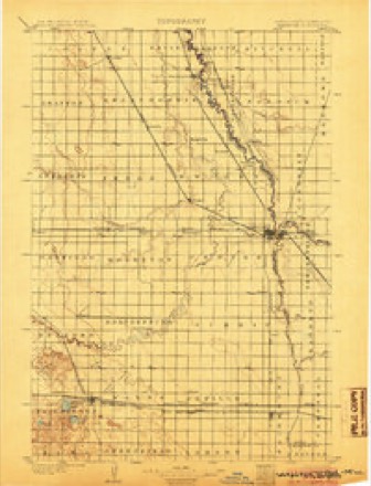
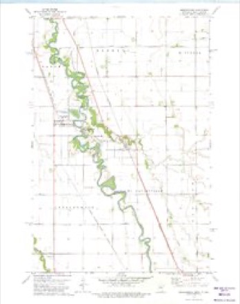
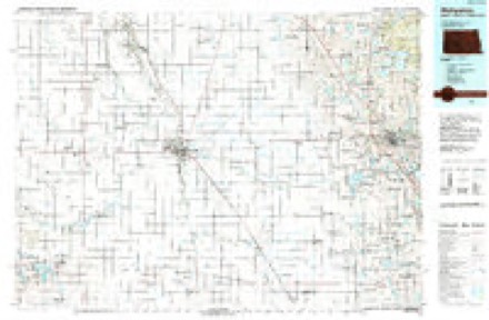
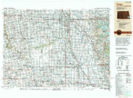
6 surveys from 9 printed sheetsMatched by testing this settlement's coordinate against the published boundary of every sheet in the United States Geological Survey's historical collection. Each opens the scanned sheet at the Survey.
- 1904 USGS Wahpeton quadrangle1:125000, 2 printings
- 1953 USGS Fargo quadrangle1:250000, 2 printings
- 1956 USGS Fargo quadrangle1:250000
- 1973 USGS Abercrombie quadrangle1:24000
- 1985 USGS Wahpeton quadrangle1:100000, 2 printings
- 1989 USGS Fargo quadrangle1:250000
Storms near this place
15 since 1998Regional context, not property-specific evidence. The National Weather Service names Abercrombie in 15 storm reports between 1998 and 2024: 8 hail, 2 thunderstorm wind, 2 flash flood, 2 flood. No death or injury is recorded in these reports. Each account below is quoted exactly as the forecast office filed it, from the NOAA Storm Events Database, and each date opens the federal record of that event.
| When | Event | Place named | Harm | What the report says |
|---|---|---|---|---|
| August 2008 | Flash Flood | Abercrombie | $30,000 | Several fields and farm access roads were flooded due to runoff from heavy rains in northeast Richland County. The water slowly subsided through the morning of the 12th as runoff moved into the larger river system. |
| May 2024 | Flood | Abercrombie | $500 | Wahpeton Gage, on the Red River. Crested at 11.01 ft on May 25th at 4:45 pm. |
| May 1998 | Thunderstorm Wind | Abercrombie | $200 | The strong wind blew several trees down. |
| August 2016 | Hail | Abercrombie | - | A lot of small hail fell, but there were a few larger stones as well. |
| August 2012 | Thunderstorm Wind | Abercrombie | - | Winds estimated at 70 to 80 mph blew down and uprooted trees. |
| June 2007 | Flood | Abercrombie | - | In Dwight, 4 homes and a church had sewer backup or basement flooding. The heavy rain filled ditches and streets and caused a creek on the perimeter of town to rise four feet. In Wahpeton, roughly 20 to 40 homes had sewer backup or basement flooding. Around the town of Fairmount, thousands of acres of cropland was drowned out and it was now too late to re-plant. The Richland County highway engineer estimated 40 to 45 road and bridge closures. Two river gauges in Richland County reported immediate impacts from the runoff. On the Wild Rice River at Abercrombie, which was showing a level of about 4.75 feet on the morning of the 2nd, the river stage shot up to around 21 feet by the early morning hours of the 5th (a jump of over 16 feet in nearly 3 days). The stage of around 21 feet would qualify as a top ten historical crest. On the Red River at Wahpeton/Breckenridge, which was showing a level of about 9.3 feet on the morning of the 1st, the river stage shot up to around 15.6 feet by late in the afternoon of the 3rd (a jump of over 6 feet in about 2 days). Again, the 15.6 river peak would qualify as a top ten historical crest. |
| August 2005 | Hail | Abercrombie | - | Pea to nickel sized hail fell near the Red River. |
| August 2005 | Flash Flood | Abercrombie | - | About 5 inches of rain fell over a large portion of Eagle Township, mainly during a three hour period from 10 PM to 1 AM CDT. Excessive runoff from the heaviest rainfall caused ditches and small streams to overflow and inundate local fields and farmyards. Water briefly flowed across county highway 81 near Enloe. |
| June 2009 | Heavy Rain | Abercrombie | - | no account filed |
| May 2005 | Hail | Abercrombie | - | no account filed |
| September 2005 | Hail | Abercrombie | - | no account filed |
| August 2004 | Hail | Abercrombie | - | no account filed |
| June 2001 | Hail | Abercrombie | - | no account filed |
| July 1998 | Hail | Abercrombie | - | no account filed |
| July 1998 | Hail | Abercrombie | - | no account filed |
Nearest settlements
The eight closest, with where each one stands in the county. Distances are straight-line, computed from the Geographic Names Information System coordinates.
Elsewhere
Matched on this settlement's Geographic Names Information System number rather than its name, so it cannot be a different place of the same name in another state.
| Wikipedia article on Abercrombie | An encyclopaedic summary. Its text is share-alike, so it is linked here rather than copied. |
| Wikidata item Q2279208 | The structured record the population and elevation above come from. Public domain (CC0). |
Provenance
This settlement is recorded in the Geographic Names Information System as feature 1027647. The sheet list is computed by point-in-boundary test against the United States Geological Survey's historical topographic inventory. Both are works of the United States government and carry no copyright under 17 U.S.C. 105.
Storms. NOAA National Centers for Environmental Information, Storm Events Database https://www.ncei.noaa.gov/stormevents/ A work of the United States government, no copyright under 17 U.S.C. 105. Narratives are quoted verbatim from the National Weather Service report and are not edited or summarised.