 Block
Merrifield, North Dakota
13 topographic sheets cover this place, the earliest surveyed in 1934 and the latest in 1985. It stands in Walle Township. It lies in ZIP code area 58201. It stands on Wilson Creek. The Survey maps it on the Thompson quadrangle.
Topographic sheets covering this place
8 surveys from 13 printed sheetsMatched by testing this settlement's coordinate against the published boundary of every sheet in the United States Geological Survey's historical collection. Each opens the scanned sheet at the Survey.
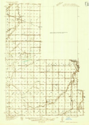
- 1934 USGS Grand Forks quadrangle1:48000
- 1934 USGS Grand Forks quadrangle1:62500
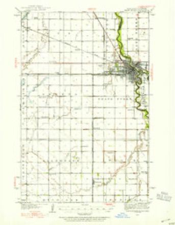
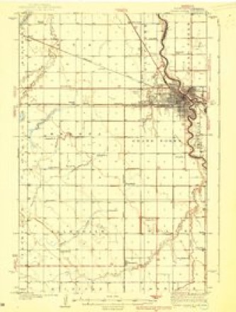
- 1938 USGS Grand Forks quadrangle1:62500, 3 printings
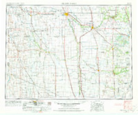
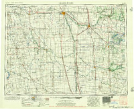
- 1952 USGS Grand Forks quadrangle1:250000, 3 printings
- 1956 USGS Grand Forks quadrangle1:250000
- 1966 USGS Grand Forks quadrangle1:250000
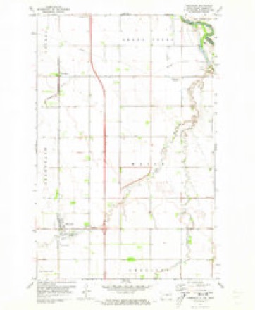
- 1971 USGS Thompson quadrangle1:24000
- 1985 USGS Grand Forks quadrangle1:100000, 2 printings
Fires near this place
13 since 2011Regional context, not property-specific evidence. The federal wildfire occurrence database lists 13 fires within 5 miles of Merrifield between 2011 and 2016, burning about 13 acres in total. None started naturally. None was recorded as arson. Distance is straight-line from the map coordinates, so a fire counted here may appear on a neighbouring settlement's page as well.
| Reported cause | Fires |
|---|---|
| Missing data/not specified/undetermined | 6 |
| Railroad operations and maintenance | 4 |
| Equipment and vehicle use | 1 |
| Debris and open burning | 1 |
| Fireworks | 1 |
The most recent of them, most recent first, with the day each was reported and the service that recorded it.
| Date | Cause | Size | Reported by | Name on the report |
|---|---|---|---|---|
| 14 August 2015 | Missing data/not specified/undetermined | 1.0 acres | North Dakota State Forest Service | MM132 & I29 |
| 5 July 2016 | Equipment and vehicle use | 1.0 acres | North Dakota State Forest Service | MM136 INTERSTATE 29 |
| 29 July 2013 | Missing data/not specified/undetermined | under an acre | North Dakota State Forest Service | GRASS FIRE |
| 1 July 2016 | Fireworks | 1.0 acres | North Dakota State Forest Service | 6000 DEMERS AVE |
| 22 June 2013 | Missing data/not specified/undetermined | under an acre | North Dakota State Forest Service | GRASS FIRE |
| 18 June 2015 | Railroad operations and maintenance | 1.0 acres | North Dakota State Forest Service | 5500 32ND AVE |
| 26 May 2015 | Railroad operations and maintenance | 1.0 acres | North Dakota State Forest Service | 7000 55TH ST |
| 2 March 2015 | Missing data/not specified/undetermined | 1.0 acres | North Dakota State Forest Service | MM133 - I29 |
Settlements close enough to share some of these fires:
Mines and quarries near this place
1 within 5 milesRegional context, not property-specific evidence. The federal mineral resources record lists 1 working within 5 miles of Merrifield: 1 producer. All of them still produce. What was taken out: Sand and Gravel, Construction. Distance is straight-line from the map coordinates, so a quarry counted here may appear on a neighbouring settlement's page as well.
| Where | Site | Commodity | Status | Recorded |
|---|---|---|---|---|
| Butler Pit | Sand and Gravel, Construction | Producer |
Storms near this place
31 since 2003Regional context, not property-specific evidence. The National Weather Service names Merrifield in 31 storm reports between 2003 and 2025: 14 thunderstorm wind, 8 hail, 4 funnel cloud, 2 flash flood. No death or injury is recorded in these reports. Each account below is quoted exactly as the forecast office filed it, from the NOAA Storm Events Database, and each date opens the federal record of that event.
| When | Event | Place named | Harm | What the report says |
|---|---|---|---|---|
| May 2025 | Thunderstorm Wind | Merrifield | - | Tree branches damaged. |
| July 2025 | Hail | Merrifield | - | Public report of 1 inch hail mixed in with hail ranging from the size of dimes to pennies. |
| July 2025 | Hail | Merrifield | - | Report from mPING of hail up to 1 inch in diameter. |
| July 2025 | Thunderstorm Wind | Merrifield | - | Photos of tree damage. Limbs between 5 and 6 inches snapped. Fence damage was also reported. |
| July 2025 | Flash Flood | Merrifield | - | Minor street flooding in Grand Forks, ND. |
| June 2024 | Thunderstorm Wind | Merrifield | - | NWS Employee reports 3 to 4 inch diameter tree branches broken. Time estimated from radar. |
| June 2022 | Heavy Rain | Merrifield | - | Rainfall amounts ranged from 1.25 to 1.75 inches across the Grand Forks metro area in a period of about 30 minutes. Street flooding was reported across town. |
| June 2022 | Thunderstorm Wind | Merrifield | - | Large 4 to 8 inch diameter tree branches and limbs snapped and broken down around south Grand Forks. |
| July 2022 | Thunderstorm Wind | Merrifield | - | Numerous large tree branches were broken down around town. Several large cottonwood, ash, and spruce trees were broken down from southern Grand Forks, across Grand Forks and Walle Townships. |
| August 2021 | Funnel Cloud | Merrifield | - | A trained spotter reported a well-developed wall cloud, along with a brief funnel cloud. The wall cloud became rain-wrapped. |
| July 2019 | Thunderstorm Wind | Merrifield | - | A semi truck and trailer were blown off Interstate 29. |
| August 2018 | Thunderstorm Wind | Merrifield | - | Several 3 to 6 inch diameter trees and branches were snapped across the south end of the city of Grand Forks. |
| June 2018 | Thunderstorm Wind | Merrifield | - | Four large grain bins were blown down and off their foundations at Drees Farming, near Merrifield. A sprayer was also wrapped around a grain bin. Debris from the grain bins was spread for several miles eastward. Numerous trees were snapped or uprooted between Merrifield and the Kings Walk Golf Course on the south side of Grand Forks. |
| June 2016 | Thunderstorm Wind | Merrifield | - | Two four to six inch diameter trees were snapped. Several tree branches and limbs were blown down around a farm yard. |
| July 2016 | Thunderstorm Wind | Merrifield | - | Two trees were split and some roof damage was reported. |
| July 2016 | Funnel Cloud | Merrifield | - | A funnel cloud was seen near the KNOX tower south of Grand Forks. |
| July 2016 | Tornado (EF0) | Merrifield | - | A touchdown was observed and photographed by a spotter who was located near Interstate 29 at mile point 134, or four miles north-northeast of Thompson. The tornado broke large tree branches in a shelterbelt along the path. Peak winds were estimated at 75 mph. |
| July 2015 | Hail | Merrifield | - | The hail fell at the intersection of Interstate 29 and 32nd avenue south in Grand Forks. |
| July 2015 | Hail | Merrifield | - | The hail fell near Merrifield. |
| June 2012 | Hail | Merrifield | - | Large hail and strong winds were reported. |
| August 2012 | Thunderstorm Wind | Merrifield | - | A partially completed sixteen unit double stall garage structure was lofted roughly ten feet to the west-southwest and destroyed. The structure was under construction with roof sheeting completed, but only partial sheeting on the side walls. There were no garage doors installed at the time. |
| July 2012 | Hail | Merrifield | - | Dime sized and smaller hail fell at the intersection of 32nd Avenue South and South Washington Street. |
| May 2011 | Funnel Cloud | Merrifield | - | Rotation was seen six miles south of Grand Forks. |
| May 2010 | Thunderstorm Wind | Merrifield | - | Several large trees were blown down on the south end of town. |
| June 2010 | Thunderstorm Wind | Merrifield | - | Several large 4 to 5 inch diameter tree branches were broken down in shelterbelts. |
| August 2007 | Tornado (EF1) | Merrifield | - | This tornado passed about a half-mile south Merrifield and was viewed by motorists as it crossed Interstate 29 near the Merrifield Road overpass. The tornado dissipated in a housing development about a mile south of Kings Walk Golf Course. Trees were ravaged and uprooted at several farmsteads and homesteads along the damage path. Peak winds were estimated at 90 mph. |
| May 2005 | Flash Flood | Merrifield | - | Water covered a road southwest of Merrifield. Four to five inches of rain fell in the area. |
| August 2016 | Hail | Merrifield | - | no account filed |
| July 2012 | Funnel Cloud | Merrifield | - | no account filed |
| August 2007 | Hail | Merrifield | - | no account filed |
| July 2003 | Thunderstorm Wind | Merrifield | - | no account filed |
Nearest settlements
The eight closest, with where each one stands in the county. Distances are straight-line, computed from the Geographic Names Information System coordinates.
| Map | Place | Distance | Sheets |
|---|---|---|---|
| Thompson | 5.0 miles | 13 | |
| Calspur | 6.1 miles | 16 | |
| Powell | 6.3 miles | 13 | |
| Grand Forks | 6.8 miles | 16 | |
| North Grand Forks | 9.3 miles | 16 | |
| Ojata (historical) | 9.8 miles | 16 | |
| Kelly | 11.7 miles | 13 | |
| Holmes | 13.4 miles | 8 |
Provenance
This settlement is recorded in the Geographic Names Information System as feature 1030207. The sheet list is computed by point-in-boundary test against the United States Geological Survey's historical topographic inventory. Both are works of the United States government and carry no copyright under 17 U.S.C. 105.
Wildfire. Short, Karen C. 2022. Spatial wildfire occurrence data for the United States, 1992-2020 [FPA_FOD_20221014]. 6th Edition. Fort Collins, CO: Forest Service Research Data Archive. https://doi.org/10.2737/RDS-2013-0009.6 Collected with United States Government funding and usable without additional permissions or fees.
Mines and quarries. USGS Mineral Resources Data System (MRDS) https://mrdata.usgs.gov/mrds/ A work of the United States government, no copyright under 17 U.S.C. 105.
Storms. NOAA National Centers for Environmental Information, Storm Events Database https://www.ncei.noaa.gov/stormevents/ A work of the United States government, no copyright under 17 U.S.C. 105. Narratives are quoted verbatim from the National Weather Service report and are not edited or summarised.