 Block
Abbott, Nebraska
17 topographic sheets cover this place, the earliest surveyed in 1892 and the latest in 1985. It stands in Prairie Creek Township. It lies in ZIP code area 68803. The Survey maps it on the Abbott quadrangle.
Topographic sheets covering this place
8 surveys from 17 printed sheetsMatched by testing this settlement's coordinate against the published boundary of every sheet in the United States Geological Survey's historical collection. Each opens the scanned sheet at the Survey.
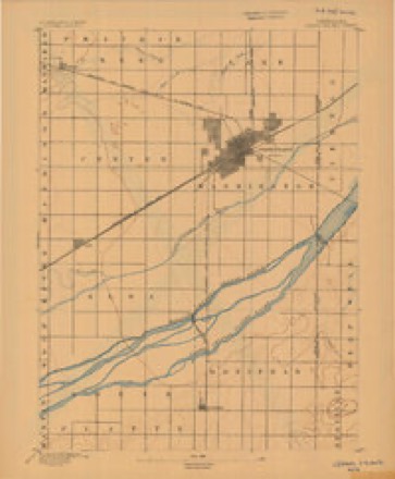
- 1892 USGS Grand Island quadrangle1:62500
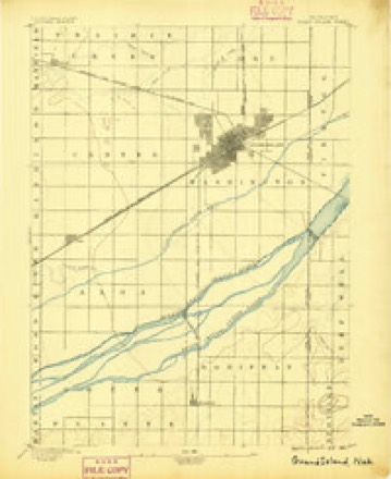
- 1895 USGS Grand Island quadrangle1:62500
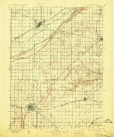
- 1898 USGS Grand Island quadrangle1:125000, 4 printings
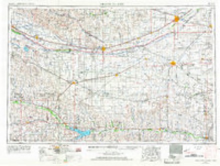
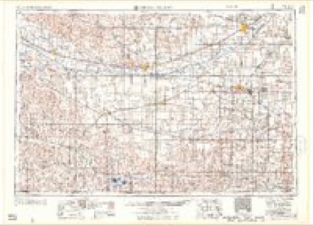
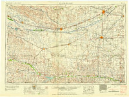
- 1955 USGS Grand Island quadrangle1:250000, 3 printings
- 1957 USGS Grand Island quadrangle1:250000
- 1958 USGS Grand Island quadrangle1:250000
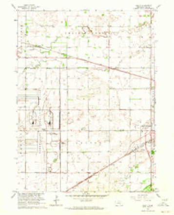
- 1962 USGS Abbott quadrangle1:24000, 4 printings
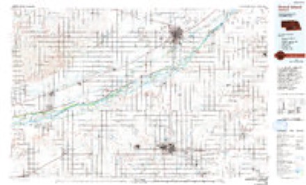
- 1985 USGS Grand Island quadrangle1:100000, 2 printings
In the county-history sources
694 words on this townshipHistory of Hall County, Nebraska; a Narrative of the Past with Special Emphasis Upon the Pioneer Period of the County's History, and Chronological Presentation of Its Social, Commercial, Educational, Religious, and Civic Development from the Early Days to the Present Time, and Special Analysis of Its Military and Civil Participation in the Late World War, published 1920 names this settlement in its chapter on Prairie Creek Township. These are the passages that mention it, exactly as the scans read.
Peter Mohr, Peter Holling, who later removed to the vicinity of Wood River, George J. Spencer, Dennis Dixon. They came in the spring of 1871. Later came Eli A. Barnes, Samuel M. Schisler, Hans Moeller, Nicholas, James and Mat Rauert, Nicholas M. Depue, Joseph F. Proctor, Henry Kruse, Claus H. Wiese, Peter Thompson, I. P. Beagle, Capt. W. W. Thompson, James Baldwin and A. Baldwin, Isaac L. Messeraul, George Nowlan, Robert Kinkle, Peter Wingert, Anna M. Weeks, John Lanphere, Mr. Barlow, William C. Dean, John Trimble, Mr. Burton and William E. Preston. Mr. Trefren, George and Luther, settled on December 20. With these settlers closes the year 1872. Then came Wesley Milhollen, Thomas Hosier, John Lee and Adam Hessel. School district number 18 composed Prairie Creek township, Othman A. Abbott county superintendent of schools. The first school officers were Eli A. Barnes, moderator, Joseph F. Proctor, treasurer, and John Lanphere, director. The school house was built on the homestead of Eli A. Barnes by James Tout, later of Grand Island. Then the district was divided and the school house moved on northeast corner of George Nowland's homestead, where it now stands.
Other early settlers in the Prairie Creek vicinity were Joe Kilian, John Mader, Jim Baldwin, Henry Schisler. The town of Abbott was formed out of section 30 of this township. In recent years the Robert Taylor ranch has grown to such proportions that the portion of it which lies within Prairie Creek township constitutes over a third of the area of the township.
Machine-read from a century-old scan, so expect the errors a machine makes: misspelled names, dropped words, stray characters.
Storms near this place
2 since 2008Regional context, not property-specific evidence. The National Weather Service names Abbott in 2 storm reports in 2008: 2 hail. No death or injury is recorded in these reports. Each account below is quoted exactly as the forecast office filed it, from the NOAA Storm Events Database, and each date opens the federal record of that event.
Nearest settlements
The eight closest, with where each one stands in the county. Distances are straight-line, computed from the Geographic Names Information System coordinates.
| Map | Place | Distance | Sheets |
|---|---|---|---|
| Ovina | 1.4 miles | 17 | |
| Cairo | 6.9 miles | 12 | |
| Alda | 7.2 miles | 16 | |
| Pioneer Estates | 7.4 miles | 17 | |
| Grand Island | 8.1 miles | 17 | |
| Parkview | 8.7 miles | 17 | |
| Cameron | 9.1 miles | 13 | |
| Kingwood Estates | 9.4 miles | 17 |
Elsewhere
Matched on this settlement's Geographic Names Information System number rather than its name, so it cannot be a different place of the same name in another state.
| Wikipedia article on Abbott | An encyclopaedic summary. Its text is share-alike, so it is linked here rather than copied. |
| Wikidata item Q17509374 | The structured record the population and elevation above come from. Public domain (CC0). |
Provenance
This settlement is recorded in the Geographic Names Information System as feature 826889. The sheet list is computed by point-in-boundary test against the United States Geological Survey's historical topographic inventory. Both are works of the United States government and carry no copyright under 17 U.S.C. 105.
Storms. NOAA National Centers for Environmental Information, Storm Events Database https://www.ncei.noaa.gov/stormevents/ A work of the United States government, no copyright under 17 U.S.C. 105. Narratives are quoted verbatim from the National Weather Service report and are not edited or summarised.