 Block
Grand Island, Nebraska
17 topographic sheets cover this place, the earliest surveyed in 1892 and the latest in 1985. It stands in Grand Island City. It lies in ZIP code area 68801. The Survey maps it on the Grand Island quadrangle. 53,131 people lived here at the 2020 count. It stands 1,860 feet above sea level.
On record in Grand Island
Buildings and businesses the archive holds for this place. Each opens its own page, with the source record it came from.
On the National Register 12 of 25 shown
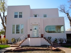 H. J. Bartenbach Houselisted 1986
 Burlington Railroad Depotlisted 2014
 Cathedral of the Nativity of the Blessed Virgin Marylisted 1982
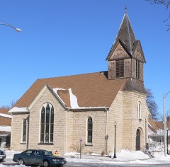 Evangelische Lutherische Dreienigkeit Kirchelisted 1986
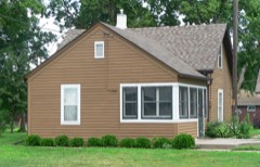 Heinrich Giese Houselisted 2006
 Glade-Donald Houselisted 1985
 Grand Island Carnegie Librarylisted 1975
 Grand Island FCC Monitoring Stationlisted 1973
 Grand Island Senior High Schoollisted 1999
 Hall County Courthouselisted 1977
 Hamilton-Donald Houselisted 1986
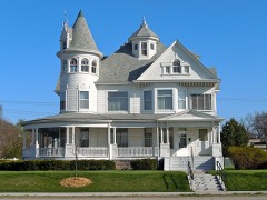 Andrew M. Hargis Houselisted 1978
Population over time
2 figuresGrand Island grew from 48,520 to 53,131 between 2010 and 2020. These are the recorded population figures Wikidata holds for this place, reached through the Geographic Names Information System number this page is keyed on rather than by name, so they belong to this place and not to another of the same name. Most are census counts, but not all are: an early figure may be a founding or settlement estimate, and an estimate published within five years of a census is left out. The change column is computed, and is left blank where more than 20 years separate a figure from the one before it, because a gap that long is not a change between two counts.
| Year | People | Change |
|---|---|---|
| 2010 | 48,520 | |
| 2020 | 53,131 | +4,611 (+10%) |
Topographic sheets covering this place
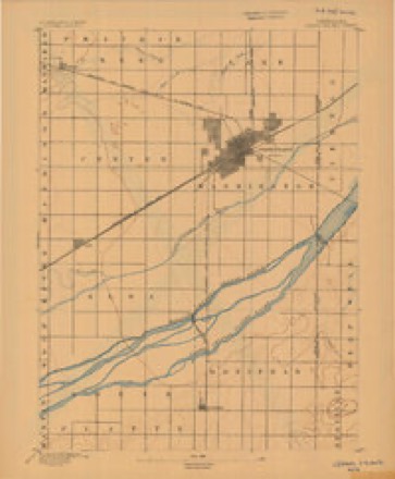
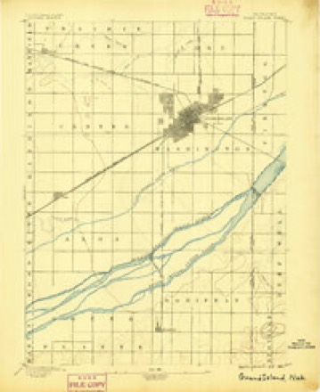
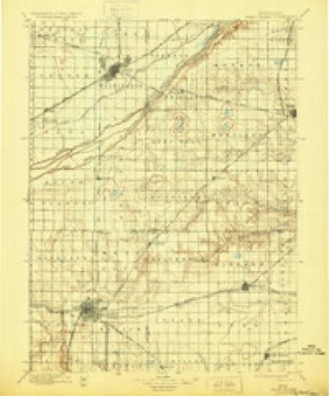
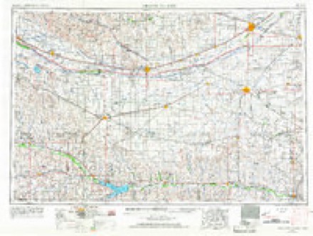
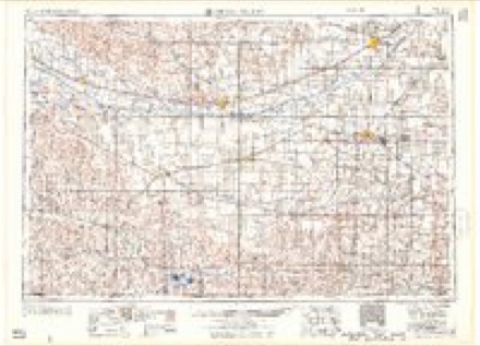
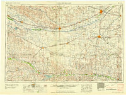
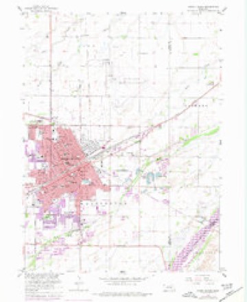
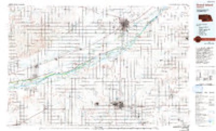
8 surveys from 17 printed sheetsMatched by testing this settlement's coordinate against the published boundary of every sheet in the United States Geological Survey's historical collection. Each opens the scanned sheet at the Survey.
- 1892 USGS Grand Island quadrangle1:62500
- 1895 USGS Grand Island quadrangle1:62500
- 1898 USGS Grand Island quadrangle1:125000, 4 printings
- 1955 USGS Grand Island quadrangle1:250000, 3 printings
- 1957 USGS Grand Island quadrangle1:250000
- 1958 USGS Grand Island quadrangle1:250000
- 1962 USGS Grand Island quadrangle1:24000, 4 printings
- 1985 USGS Grand Island quadrangle1:100000, 2 printings
In the county-history sources
6,308 words on this townshipHistory of Hall County, Nebraska; a Narrative of the Past with Special Emphasis Upon the Pioneer Period of the County's History, and Chronological Presentation of Its Social, Commercial, Educational, Religious, and Civic Development from the Early Days to the Present Time, and Special Analysis of Its Military and Civil Participation in the Late World War, published 1920 names this settlement in its chapter on Grand Island City. These are the passages that mention it, exactly as the scans read.
This chapter will only treat of the early settlement and civic development of Grand Island. Its city government will be detailed and the development and growth of its public utilities and parks. The part that Grand Island has played in the manufacturing, industrial, commercial, and financial achievements of Hall County will be merged in the separate chapters on those subjects that are to follow this one. Likewise will the growth of her churches be included in the treatment of their respective denominations, her schools treated as -a part of the school history of the county, the press, professions and social and fraternal institutions be taken up in separate chapters relating to those respective activities.
The original plat of Grand Island was filed for record September 29, 1866, and recorded in Book B, page 13, by Clerk Fred T. Evans. The document was found by Abstractor William Frank, at Omaha. Prior to this time Grand Island had nothing to show title to streets and alleys, beyond twenty-one years possession of the same, the county records then showing title only in the Union Pacific Railroad Company.
It is therefore ordered by said board of county commissioners that the town of Grand Island be declared incorporated by the name and style of "Grand Island", with the following limits : The northwest Y^ and the northwest V4 of the southwest i/4 of section fifteen (15) and the northeast 14 and north 1/0 of southeast I4 and northeast 14 of southwest 14 of section sixteen (16) in township eleven (11) north of range (9) west, and the following persons be appointed trustees of said town, towit : R. C. Jordon, John Wallichs, A. Thorspecken, H. N. Chapman and Christian Wasmer.
Machine-read from a century-old scan, so expect the errors a machine makes: misspelled names, dropped words, stray characters.
Read the whole chapter on Grand Island City - it names this place 20 more 20 times.
Fires near this place
2 since 2012Regional context, not property-specific evidence. The federal wildfire occurrence database lists 2 fires within 5 miles of Grand Island between 2012 and 2017, burning about 4 acres in total. None started naturally. None was recorded as arson. Distance is straight-line from the map coordinates, so a fire counted here may appear on a neighbouring settlement's page as well.
| Reported cause | Fires |
|---|---|
| Debris and open burning | 1 |
| Missing data/not specified/undetermined | 1 |
The most recent of them, most recent first, with the day each was reported and the service that recorded it.
| Date | Cause | Size | Reported by | Name on the report |
|---|---|---|---|---|
| 18 August 2012 | Debris and open burning | 3.0 acres | Nebraska Forest Service | not named |
| 18 October 2017 | Missing data/not specified/undetermined | 1.0 acres | Nebraska Forest Service | not named |
Settlements close enough to share some of these fires:
Mines and quarries near this place
2 within 5 milesRegional context, not property-specific evidence. The federal mineral resources record lists 2 workings within 5 miles of Grand Island: 2 producers. All of them still produce. What was taken out: Talc-Soapstone. Distance is straight-line from the map coordinates, so a quarry counted here may appear on a neighbouring settlement's page as well.
| Where | Site | Commodity | Status | Recorded |
|---|---|---|---|---|
| Grand Island Mill | Talc-Soapstone | Producer | ||
| Grand Island Talc Mill | Talc-Soapstone | Producer |
Storms near this place
14 since 1994Regional context, not property-specific evidence. The National Weather Service names Grand Island in 14 storm reports between 1994 and 1996: 7 thunderstorm wind, 6 hail, 1 tornado. No death or injury is recorded in these reports. Each account below is quoted exactly as the forecast office filed it, from the NOAA Storm Events Database, and each date opens the federal record of that event.
| When | Event | Place named | Harm | What the report says |
|---|---|---|---|---|
| August 1995 | Hail | Grand Island | $1,500,000 | no account filed |
| August 1995 | Hail | Grand Island | $1,000,000 | no account filed |
| August 1995 | Thunderstorm Wind | Grand Island | $100,000 | no account filed |
| July 1995 | Hail | Grand Island | $50,000 | no account filed |
| August 1995 | Thunderstorm Wind | Grand Island | $5,000 | no account filed |
| August 1995 | Tornado (F0) | Grand Island | $2,000 | no account filed |
| April 1994 | Thunderstorm Wind | Grand Island | - | Thunderstorm winds gusted to 64 mph at Grand Island. The roof of a convenience store on the east side of town received considerable damage. |
| May 1996 | Hail | Grand Island | - | no account filed |
| May 1996 | Hail | Grand Island | - | no account filed |
| June 1995 | Thunderstorm Wind | Grand Island | - | no account filed |
| July 1995 | Hail | Grand Island | - | no account filed |
| July 1994 | Thunderstorm Wind | Grand Island | - | no account filed |
| July 1994 | Thunderstorm Wind | Grand Island | - | no account filed |
| August 1994 | Thunderstorm Wind | Grand Island | - | no account filed |
Nearest settlements
The eight closest, with where each one stands in the county. Distances are straight-line, computed from the Geographic Names Information System coordinates.
| Map | Place | Distance | Sheets |
|---|---|---|---|
| Parkview | 1.6 miles | 17 | |
| Pioneer Estates | 1.7 miles | 17 | |
| Kingwood Estates | 1.9 miles | 17 | |
| Kuesters Lake | 2.5 miles | 17 | |
| Ovina | 6.7 miles | 17 | |
| Alda | 7.6 miles | 16 | |
| Abbott | 8.1 miles | 17 | |
| Doniphan | 10.7 miles | 16 |
Elsewhere
Matched on this settlement's Geographic Names Information System number rather than its name, so it cannot be a different place of the same name in another state.
| Wikipedia article on Grand Island | An encyclopaedic summary. Its text is share-alike, so it is linked here rather than copied. |
| Wikidata item Q461826 | The structured record the population and elevation above come from. Public domain (CC0). |
Provenance
This settlement is recorded in the Geographic Names Information System as feature 829622. The sheet list is computed by point-in-boundary test against the United States Geological Survey's historical topographic inventory. Both are works of the United States government and carry no copyright under 17 U.S.C. 105.
Wildfire. Short, Karen C. 2022. Spatial wildfire occurrence data for the United States, 1992-2020 [FPA_FOD_20221014]. 6th Edition. Fort Collins, CO: Forest Service Research Data Archive. https://doi.org/10.2737/RDS-2013-0009.6 Collected with United States Government funding and usable without additional permissions or fees.
Mines and quarries. USGS Mineral Resources Data System (MRDS) https://mrdata.usgs.gov/mrds/ A work of the United States government, no copyright under 17 U.S.C. 105.
Storms. NOAA National Centers for Environmental Information, Storm Events Database https://www.ncei.noaa.gov/stormevents/ A work of the United States government, no copyright under 17 U.S.C. 105. Narratives are quoted verbatim from the National Weather Service report and are not edited or summarised.