 Block
Cameron, Nebraska
13 topographic sheets cover this place, the earliest surveyed in 1895 and the latest in 1985. It stands in Cameron Township. It lies in ZIP code area 68883. The Survey maps it on the Cameron quadrangle.
Topographic sheets covering this place
7 surveys from 13 printed sheetsMatched by testing this settlement's coordinate against the published boundary of every sheet in the United States Geological Survey's historical collection. Each opens the scanned sheet at the Survey.
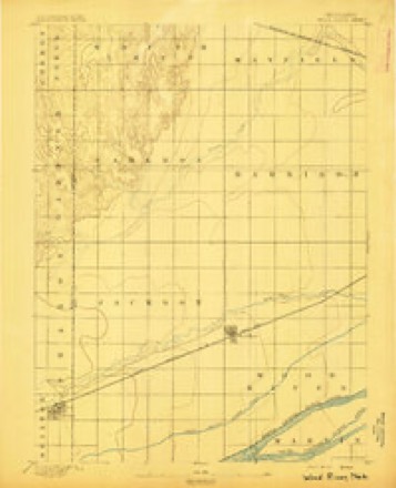
- 1895 USGS Wood River quadrangle1:62500
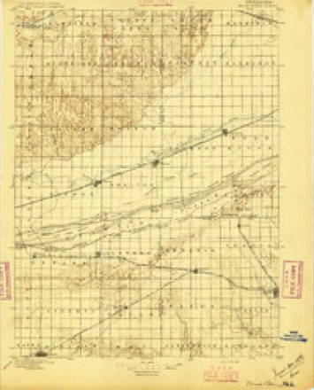
- 1896 USGS Wood River quadrangle1:125000, 4 printings
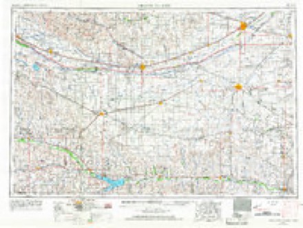
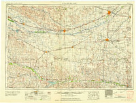
- 1955 USGS Grand Island quadrangle1:250000, 3 printings
- 1957 USGS Grand Island quadrangle1:250000
- 1958 USGS Grand Island quadrangle1:250000
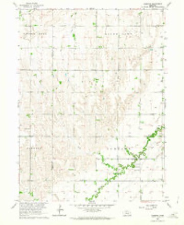
- 1962 USGS Cameron quadrangle1:24000
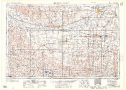
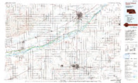
- 1985 USGS Grand Island quadrangle1:100000, 2 printings
In the county-history sources
1,629 words on this townshipHistory of Hall County, Nebraska; a Narrative of the Past with Special Emphasis Upon the Pioneer Period of the County's History, and Chronological Presentation of Its Social, Commercial, Educational, Religious, and Civic Development from the Early Days to the Present Time, and Special Analysis of Its Military and Civil Participation in the Late World War, published 1920 names this settlement in its chapter on Cameron Township. These are the passages that mention it, exactly as the scans read.
Before the advent of the railroads the west was settled, first along the rivers and later on the line of overland trails, the pioneers invariably remaining as closely to one or the other of these means of communication as possible. This was true of the settlement along the Platte Valley, and altho several colonies were established between Fort Kearny and Grand Island prior to 1871 no one ventured to locate permanently in what is Cameron township until that year.
A man named William Shelton located in Cameron township in 1871, coming from Missouri, but evidently thought it too remote from the railroad, timber, water, and neighbors to ever become valuable and he failed to make any filing or purchase. He, however, was not so considerate of prospective settlers of whom he spoke as "tender feet," but spent most all of his time in locating them upon the land in his vicinity, finding corners and performing the services of the modern real estate agent. His location fee was five dollars in each instance and he doubtless thought while placing settlers upon government land v/hich is now worth from sixty to seventy-five dollars per acre (in 1919 that would be considerably advanced) that he was getting much the best of the bargain when his fee of five dollars was paid. The first bona fide settlers in this township were John B. Stevens and Samuel Rode, both taking soldiers' homesteads in 1871. In the spring of 1872 William Dubbs, Seth Lee, Edwin S. Lee, O. E. Palmer, Lester Houghton, John Peebles, Henry Streator, James Cannon (afterwards sheriflf of the county), a Mr. Carlson. S.. Reider, and others whose names are not preserved, located on government lands in Cameron. Of this number only the Messrs, Edwin S. Lee and Samuel Reider are now living in that township (this was written in 1907). :\Iany of the settlers of 71 and 72 afterwards became discouraged on account of the failure of crops, drought, grasshoppers, and the failure of the new settlers to understand the methods successfully to till the new
In the fall of 1872 the new settlers met at the house of William Dubbs and organized school district number 13, of Hall County, which was nine miles scjuare. Seth Lee built the school house and after it was completed an itinerant minister named y\llan preached the first semion in Cameron township. A year later Rev. Mr. Marsh, a Methodist circuit rider, established a class and held regular services in the school house.
Machine-read from a century-old scan, so expect the errors a machine makes: misspelled names, dropped words, stray characters.
Read the whole chapter on Cameron Township - it names this place 4 more 4 times.
Fires near this place
2 since 2010Regional context, not property-specific evidence. The federal wildfire occurrence database lists 2 fires within 5 miles of Cameron between 2010 and 2017, burning about 1 acre in total. None started naturally. None was recorded as arson. Distance is straight-line from the map coordinates, so a fire counted here may appear on a neighbouring settlement's page as well.
| Reported cause | Fires |
|---|---|
| Debris and open burning | 1 |
| Equipment and vehicle use | 1 |
The most recent of them, most recent first, with the day each was reported and the service that recorded it.
| Date | Cause | Size | Reported by | Name on the report |
|---|---|---|---|---|
| 30 May 2017 | Debris and open burning | 1.0 acres | Nebraska Forest Service | not named |
| 14 October 2010 | Equipment and vehicle use | under an acre | Nebraska Forest Service | not named |
Storms near this place
8 since 2008Regional context, not property-specific evidence. The National Weather Service names Cameron in 8 storm reports between 2008 and 2009: 7 hail, 1 flash flood. No death or injury is recorded in these reports. Each account below is quoted exactly as the forecast office filed it, from the NOAA Storm Events Database, and each date opens the federal record of that event.
| When | Event | Place named | Harm | What the report says |
|---|---|---|---|---|
| May 2008 | Flash Flood | Cameron | $60,000 | Thunderstorms rolled across the same area of Hall County during the evening hours and dumped several inches of rain. This caused many roads and small creeks to quickly flood. |
| June 2008 | Hail | Cameron | $10,000 | Pea to penny size hail drifted up against a house. Wind gusts estimated at 50 mph. Some damage to corn crops reported. |
| June 2008 | Hail | Cameron | $10,000 | no account filed |
| June 2008 | Hail | Cameron | $5,000 | Reported at intersection of 110th and 13th streets. |
| May 2008 | Hail | Cameron | $2,000 | no account filed |
| June 2009 | Hail | Cameron | - | no account filed |
| June 2009 | Hail | Cameron | - | no account filed |
| July 2009 | Hail | Cameron | - | no account filed |
Nearest settlements
The eight closest, with where each one stands in the county. Distances are straight-line, computed from the Geographic Names Information System coordinates.
| Map | Place | Distance | Sheets |
|---|---|---|---|
| Cairo | 6.0 miles | 12 | |
| Wood River | 6.9 miles | 15 | |
| Abbott | 9.1 miles | 17 | |
| Alda | 9.4 miles | 16 | |
| Ovina | 10.2 miles | 17 | |
| Parkview | 15.3 miles | 17 | |
| Pioneer Estates | 15.5 miles | 17 | |
| Grand Island | 15.6 miles | 17 |
Provenance
This settlement is recorded in the Geographic Names Information System as feature 835267. The sheet list is computed by point-in-boundary test against the United States Geological Survey's historical topographic inventory. Both are works of the United States government and carry no copyright under 17 U.S.C. 105.
Wildfire. Short, Karen C. 2022. Spatial wildfire occurrence data for the United States, 1992-2020 [FPA_FOD_20221014]. 6th Edition. Fort Collins, CO: Forest Service Research Data Archive. https://doi.org/10.2737/RDS-2013-0009.6 Collected with United States Government funding and usable without additional permissions or fees.
Storms. NOAA National Centers for Environmental Information, Storm Events Database https://www.ncei.noaa.gov/stormevents/ A work of the United States government, no copyright under 17 U.S.C. 105. Narratives are quoted verbatim from the National Weather Service report and are not edited or summarised.