 Block
Elk City, Nebraska
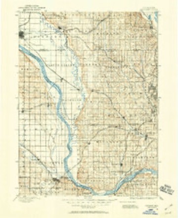
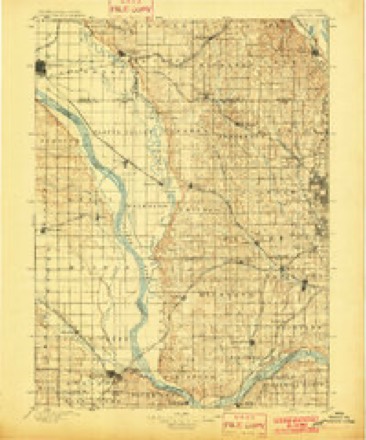
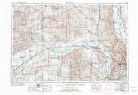
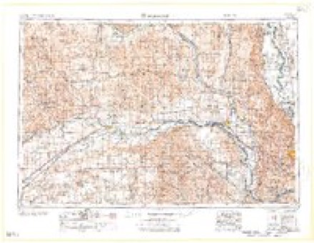
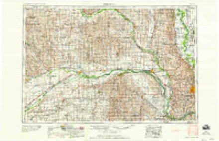
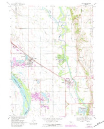
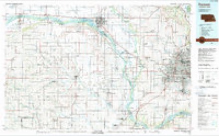
16 topographic sheets cover this place, the earliest surveyed in 1893 and the latest in 1982. It stands in Elkhorn precinct. It lies in ZIP code area 68064. It stands on South Washington Creek. The Survey maps it on the Valley quadrangle.
Topographic sheets covering this place
7 surveys from 16 printed sheetsMatched by testing this settlement's coordinate against the published boundary of every sheet in the United States Geological Survey's historical collection. Each opens the scanned sheet at the Survey.
- 1893 USGS Fremont quadrangle1:125000
- 1896 USGS Fremont quadrangle1:125000, 5 printings
- 1955 USGS Fremont quadrangle1:250000, 3 printings
- 1957 USGS Fremont quadrangle1:250000
- 1958 USGS Fremont quadrangle1:250000
- 1968 USGS Valley quadrangle1:24000, 3 printings
- 1982 USGS Fremont quadrangle1:100000, 2 printings
Fires near this place
36 since 2008Regional context, not property-specific evidence. The federal wildfire occurrence database lists 36 fires within 5 miles of Elk City between 2008 and 2020, burning about 156 acres in total. None started naturally. None was recorded as arson. Distance is straight-line from the map coordinates, so a fire counted here may appear on a neighbouring settlement's page as well.
| Reported cause | Fires |
|---|---|
| Debris and open burning | 26 |
| Missing data/not specified/undetermined | 7 |
| Fireworks | 2 |
| Equipment and vehicle use | 1 |
The most recent of them, most recent first, with the day each was reported and the service that recorded it.
| Date | Cause | Size | Reported by | Name on the report |
|---|---|---|---|---|
| 8 August 2018 | Missing data/not specified/undetermined | under an acre | Nebraska Forest Service | not named |
| 31 August 2019 | Debris and open burning | under an acre | Nebraska Forest Service | not named |
| 23 August 2008 | Debris and open burning | under an acre | Nebraska Forest Service | not named |
| 5 July 2008 | Fireworks | under an acre | Nebraska Forest Service | not named |
| 22 July 2020 | Debris and open burning | under an acre | Nebraska Forest Service | not named |
| 22 July 2020 | Debris and open burning | under an acre | Nebraska Forest Service | not named |
| 22 July 2008 | Debris and open burning | under an acre | Nebraska Forest Service | not named |
| 10 July 2008 | Debris and open burning | under an acre | Nebraska Forest Service | not named |
Settlements close enough to share some of these fires:
Storms near this place
13 since 2005Regional context, not property-specific evidence. The National Weather Service names Elk City in 13 storm reports between 2005 and 2026: 5 hail, 4 flood, 3 thunderstorm wind, 1 tornado. The reports record 1 injury. Each account below is quoted exactly as the forecast office filed it, from the NOAA Storm Events Database, and each date opens the federal record of that event.
| When | Event | Place named | Harm | What the report says |
|---|---|---|---|---|
| June 2010 | Thunderstorm Wind | Elk City | 1 hurt | Thunderstorm wind gusts estimated at over 65 mph downed trees from near Bennington toward 72nd Street and Highway 36. Three vehicles were hit by falling trees resulting in one minor injury in the 72nd Street area where in one-quarter mile stretch numerous trees were downed across the road. Some sheds were blown away or destroyed in the Bennington area. Other trees were downed in the Highway 36 and 132nd Street area. Tree damage was observed a mile or two either side of Highway 36 from the storm. |
| June 2010 | Flood | Elk City | $2,000,000 | Rainfall of at least 3 to 5 inches fell over much of the Elkhorn River basin in the week ending 7am 6/12, including 1 to 2 inch 24 hour amounts ending 7am the 12th. This caused record or near record flooding along the Elkhorn River from around Clearwater and Neligh downstream to the Elkhorn's confluence with the Platte River. High water or flooding was prolonged by additional rains the week after 6/12. In Douglas county especially hard hit was the Kings Lake area north of Waterloo where 160 homes and cabins sustained flood damage and at least 23 homes were declared unfit or unsafe, mainly due to septic tanks backing up. Flooding closed roads into Kings Lake and also closed Highway 36 west of Elk City for a while. A man drove around a barricade and into flood waters near 252nd and State Streets and was rescued by a sheriff's deputy who broke out his car window. Although the man suffered from hypothermia, the injuries were not life threatening. County roads and farmland along the river were also flooded. The Elkhorn River at Waterloo crested at a near record around 18.7 feet during the late evening of 6/14, flood stage is 17 feet and the record is just over 19 feet. A levee protected much of Waterloo, but recreation areas along the river were flooded. The river at Waterloo was above flood stage from the late afternoon of June 13th until the early morning hours of the 16th, although some flooding likely started earlier and lasted a little longer in the northwest part of the county. |
| March 2019 | Flood | Elk City | $950,000 | This is for flooding along the Platte River. The river gage at Leshara, operated by the USGS, peaked at 12.38 feet at 8 am on March 15th. Minor flood stage is 8 feet, moderate flood stage is 10 feet while major flood stage is 12 feet. Preliminary this peak is the highest on record. Ice jamming also played a role in the flooding at this location. The net effect of this flooding was overwhelmed by the high water that immediately proceeded any river ice movement. Another factor along this part of the river was a levee break at Union Dike just downstream of Fremont. This led to the evacuation of Valley and surrounding areas. Damage estimate for Union Dike is from the Army Corps of Engineers Omaha District. |
| June 2010 | Flood | Elk City | $20,000 | Overnight rainfall of 1 to 2 inches through 7am 6/12 brought 3 day rainfall totals into the 2 to 4 inch range over much of the county and locations to the west and north. The heavy rain caused high flows of Rawhide Creek which began flooding due to increased flows along the Elkhorn River which caused it to back up. The flooding closed Highway 36 in far northwest Douglas county and also flooded farmlands and county roads near the creek. |
| April 2026 | Hail | Elk City | - | Public report received via social media of hail up to quarter sized. Time estimated with radar. |
| July 2023 | Hail | Elk City | - | Storm chaser reported 2-inch hail. |
| July 2023 | Hail | Elk City | - | Public reported 1.5-inch hail via mPING. |
| June 2020 | Thunderstorm Wind | Elk City | - | Public reported large tree limbs down. |
| July 2020 | Thunderstorm Wind | Elk City | - | Public reported large tree limbs down. |
| March 2019 | Flood | Elk City | - | This is for flooding along the Elkhorn River. The river gage at Waterloo, operated by the USGS, peaked at 24.77 feet at 11:30 am on March 16th. Minor flood stage is 14 feet. Major flood stage is 21 feet. Preliminary this was a record crest. Some ice action occurred on the afternoon of the 13th, but this was short-lived. The town of Waterloo was saved by its levee which never overtopped or breached. |
| August 2010 | Hail | Elk City | - | Near the Jct of Highways 31 and 36. |
| June 2008 | Tornado (EF0) | Elk City | - | A brief tornado caused tree damage around 6 miles north of Elkhorn. |
| May 2005 | Hail | Elk City | - | no account filed |
Nearest settlements
The eight closest, with where each one stands in the county. Distances are straight-line, computed from the Geographic Names Information System coordinates.
| Map | Place | Distance | Sheets |
|---|---|---|---|
| Rellers Park | 1.9 miles | 15 | |
| King Lake | 4.4 miles | 16 | |
| Valley | 5.8 miles | 16 | |
| Bennington | 5.8 miles | 17 | |
| Waterloo | 5.9 miles | 16 | |
| Elkhorn | 6.1 miles | 17 | |
| Omaha Regency | 8.3 miles | 17 | |
| Mercer | 8.4 miles | 15 |
Elsewhere
Matched on this settlement's Geographic Names Information System number rather than its name, so it cannot be a different place of the same name in another state.
| Wikipedia article on Elk City | An encyclopaedic summary. Its text is share-alike, so it is linked here rather than copied. |
| Wikidata item Q18150328 | The structured record the population and elevation above come from. Public domain (CC0). |
Provenance
This settlement is recorded in the Geographic Names Information System as feature 829050. The sheet list is computed by point-in-boundary test against the United States Geological Survey's historical topographic inventory. Both are works of the United States government and carry no copyright under 17 U.S.C. 105.
Wildfire. Short, Karen C. 2022. Spatial wildfire occurrence data for the United States, 1992-2020 [FPA_FOD_20221014]. 6th Edition. Fort Collins, CO: Forest Service Research Data Archive. https://doi.org/10.2737/RDS-2013-0009.6 Collected with United States Government funding and usable without additional permissions or fees.
Storms. NOAA National Centers for Environmental Information, Storm Events Database https://www.ncei.noaa.gov/stormevents/ A work of the United States government, no copyright under 17 U.S.C. 105. Narratives are quoted verbatim from the National Weather Service report and are not edited or summarised.