 Block
Mercer, Nebraska
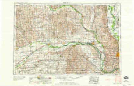
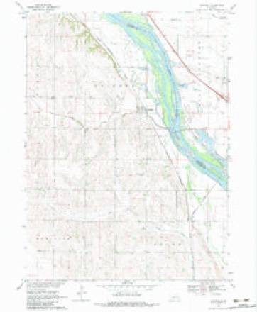
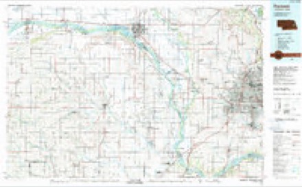
15 topographic sheets cover this place, the earliest surveyed in 1893 and the latest in 1982. It stands in Platte Valley precinct. It lies in ZIP code area 68064. The Survey maps it on the Leshara quadrangle.
Topographic sheets covering this place
7 surveys from 15 printed sheetsMatched by testing this settlement's coordinate against the published boundary of every sheet in the United States Geological Survey's historical collection. Each opens the scanned sheet at the Survey.
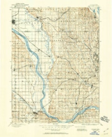
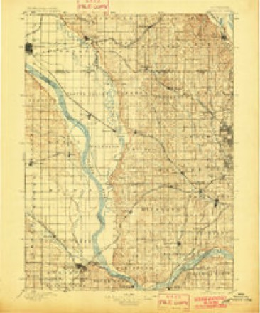
- 1893 USGS Fremont quadrangle1:125000
- 1896 USGS Fremont quadrangle1:125000, 5 printings
- 1955 USGS Fremont quadrangle1:250000, 3 printings
- 1957 USGS Fremont quadrangle1:250000
- 1958 USGS Fremont quadrangle1:250000
- 1968 USGS Leshara quadrangle1:24000, 2 printings
- 1982 USGS Fremont quadrangle1:100000, 2 printings
Fires near this place
30 since 2007Regional context, not property-specific evidence. The federal wildfire occurrence database lists 30 fires within 5 miles of Mercer between 2007 and 2020, burning about 21 acres in total. None started naturally. None was recorded as arson. Distance is straight-line from the map coordinates, so a fire counted here may appear on a neighbouring settlement's page as well.
| Reported cause | Fires |
|---|---|
| Debris and open burning | 16 |
| Missing data/not specified/undetermined | 9 |
| Recreation and ceremony | 2 |
| Equipment and vehicle use | 1 |
| Railroad operations and maintenance | 1 |
| Fireworks | 1 |
The most recent of them, most recent first, with the day each was reported and the service that recorded it.
| Date | Cause | Size | Reported by | Name on the report |
|---|---|---|---|---|
| 28 September 2007 | Railroad operations and maintenance | under an acre | Nebraska Forest Service | not named |
| 21 September 2020 | Debris and open burning | under an acre | Nebraska Forest Service | not named |
| 24 August 2020 | Missing data/not specified/undetermined | under an acre | Nebraska Forest Service | not named |
| 5 July 2007 | Missing data/not specified/undetermined | under an acre | Nebraska Forest Service | not named |
| 24 July 2016 | Equipment and vehicle use | 1.0 acres | Nebraska Forest Service | not named |
| 19 July 2020 | Debris and open burning | under an acre | Nebraska Forest Service | not named |
| 30 June 2007 | Missing data/not specified/undetermined | under an acre | Nebraska Forest Service | not named |
| 3 June 2018 | Debris and open burning | 1.0 acres | Nebraska Forest Service | not named |
Settlements close enough to share some of these fires:
Storms near this place
3 since 2008Regional context, not property-specific evidence. The National Weather Service names Mercer in 3 storm reports in 2008: 2 hail, 1 thunderstorm wind. No death or injury is recorded in these reports. Each account below is quoted exactly as the forecast office filed it, from the NOAA Storm Events Database, and each date opens the federal record of that event.
| When | Event | Place named | Harm | What the report says |
|---|---|---|---|---|
| June 2008 | Thunderstorm Wind | Mercer | $53,000,000 | This is a continuation of the damage path from the bow echo that started in Dodge and Saunders county to the west. The damage path in Douglas county was about 5 to 7 miles wide and a NWS storm survey estimated winds of at least 70 mph and in some cases up to 100 to 115 mph. Wind equipment at the NWS office just outside of Valley measured 77 mph winds at 434 pm CDT just before the equipment failed. Meteorologists there estimated winds exceeded 80 mph at the office. The Awos at the Millard airport, just south of the severe damage swath, measured a wind gust of 59 mph at 450 pm. ||The damage path crossed into the county from the Woodcliff area south of Fremont and spread toward and then just north of the Elkhorn area. In the Valley area trees were damaged or uprooted, a fireworks tent and its contents were destroyed, farm outbuildings were heavily damaged and center pivots were flipped. A house also lost its roof and crops were flattened or shredded to the ground. In western Douglas county several barns were destroyed or severely damage, including a few that caused severe injuries to livestock that necessitated euthanization. The damage swath then continued across west Omaha where 2 houses near 180th and Maple Streets sustained serious damage due to garage failures. Tree and power pole damage continued toward the 132nd and Maple Street intersection where more substantial damage was noted, including a damaged canopy at a gas station and a swath of broken light and power poles. That intersection was to remain closed then for the next 2 or 3 days while the poles were repaired or replaced and power restored. The damage path then continued through the Dundee area where more substantial tree damage was noted due to the concentration of larger and older trees. Finally the damage continued into downtown Omaha with damage noted to the outside of the Qwest Sports/Convention Center. Across the entire path, tree, home and other outside building or fence damage was observed or reported.||In all over 125,000 OPPD customers lost power, in some cases for a week or so. OPPD officials stated that it was one of the worst storms in its history, rivaling an early wet snowstorm in late October of 1997. Damage claims in the Omaha area alone was estimated to have reached $40 million from residents and between $2.6 million and $3.7 million from city property. OPPD was estimated to have sustained $10 million in damage, mostly in Douglas county. |
| June 2008 | Hail | Mercer | - | Near North 312th and Highway 36. |
| June 2008 | Hail | Mercer | - | Hail up to 1 inch in diameter fell in a 5 to 7 mile wide swath from far northwest Douglas county through the central and northern sections of the city. The hail was driven by winds in excess of 70 mph causing home and vehicle damage and virtually cutting crops and gardens down to the ground along the path of the most severe damage. |
Nearest settlements
The eight closest, with where each one stands in the county. Distances are straight-line, computed from the Geographic Names Information System coordinates.
| Map | Place | Distance | Sheets |
|---|---|---|---|
| Valley | 6.0 miles | 16 | |
| Rellers Park | 6.7 miles | 15 | |
| King Lake | 7.8 miles | 16 | |
| Elk City | 8.4 miles | 16 | |
| Waterloo | 9.6 miles | 16 | |
| Lake Platte View | 9.8 miles | 15 | |
| Venice | 10.4 miles | 15 | |
| Elkhorn | 11.8 miles | 17 |
Provenance
This settlement is recorded in the Geographic Names Information System as feature 831221. The sheet list is computed by point-in-boundary test against the United States Geological Survey's historical topographic inventory. Both are works of the United States government and carry no copyright under 17 U.S.C. 105.
Wildfire. Short, Karen C. 2022. Spatial wildfire occurrence data for the United States, 1992-2020 [FPA_FOD_20221014]. 6th Edition. Fort Collins, CO: Forest Service Research Data Archive. https://doi.org/10.2737/RDS-2013-0009.6 Collected with United States Government funding and usable without additional permissions or fees.
Storms. NOAA National Centers for Environmental Information, Storm Events Database https://www.ncei.noaa.gov/stormevents/ A work of the United States government, no copyright under 17 U.S.C. 105. Narratives are quoted verbatim from the National Weather Service report and are not edited or summarised.