 Block
From the record
12 National Register listings published here.
Sources: the National Register database, National Park Service
26 topographic sheets and 7 fire insurance atlases across 2 places.
12 National Register listings published here.
Sources: the National Register database, National Park Service
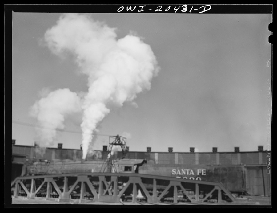
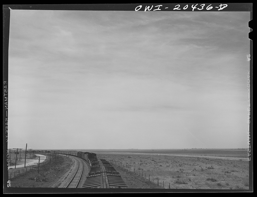
Taken for the Office of War Information and the Farm Security Administration, who photographed the country between 1935 and 1944. Works of United States government photographers, with no known restriction on use. Each opens its catalogue record.
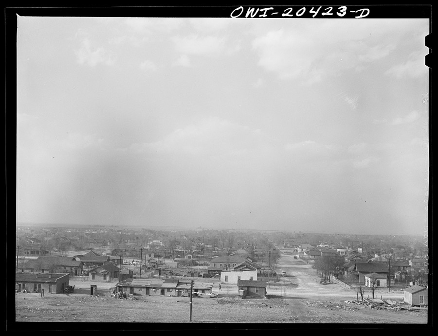
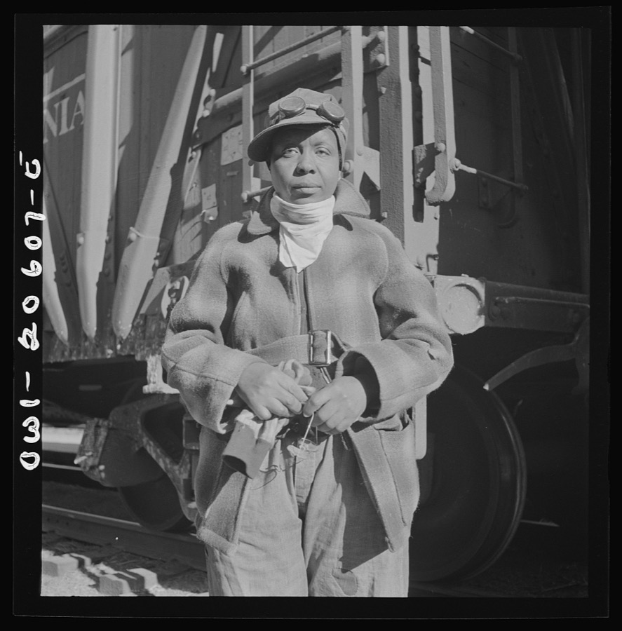
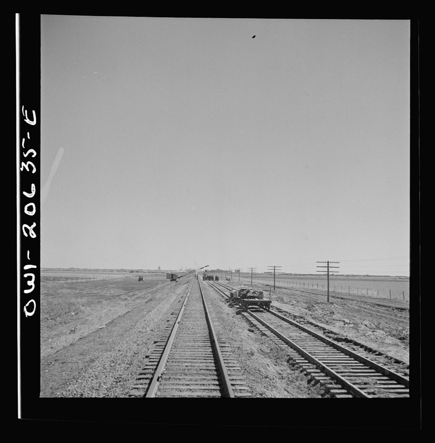
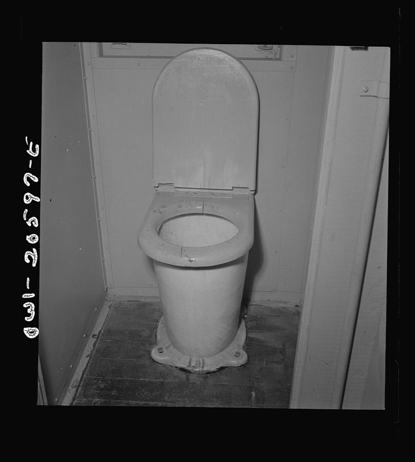
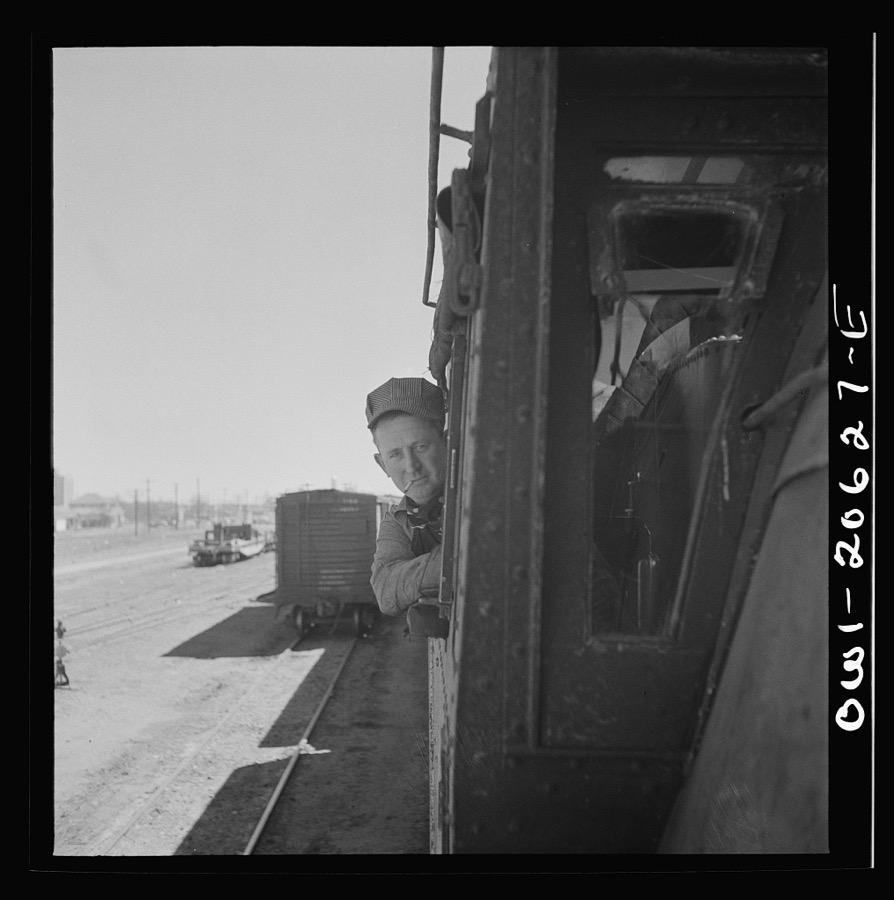
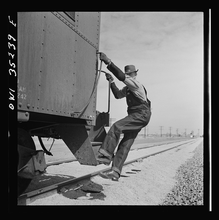
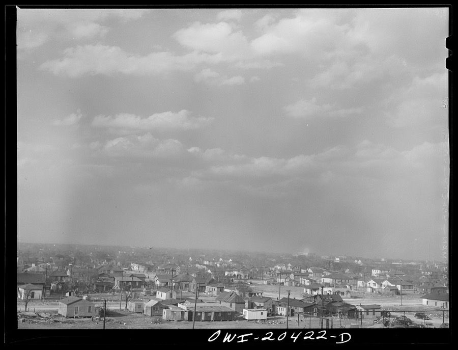
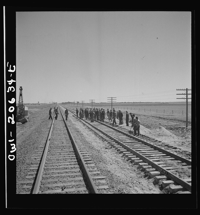
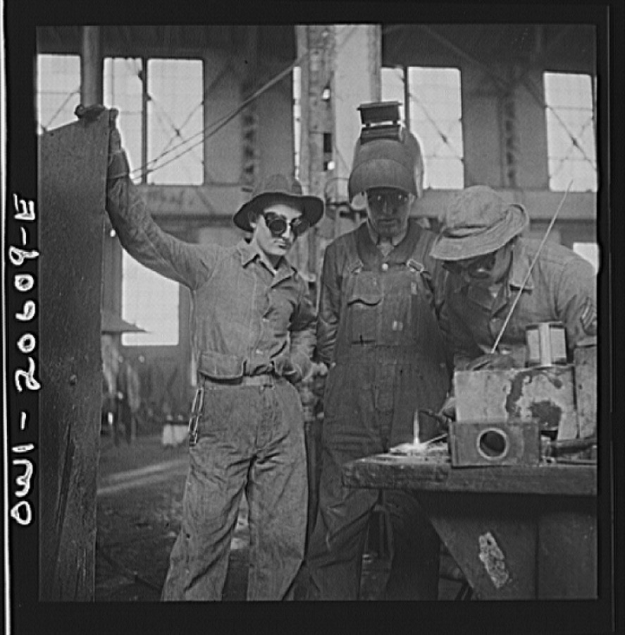
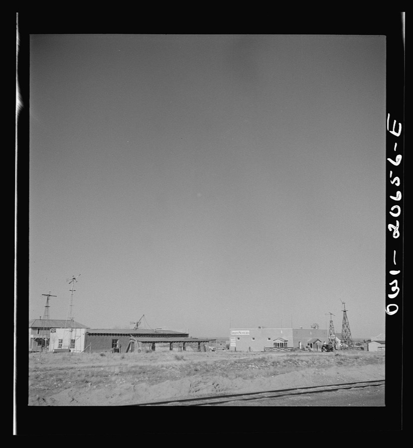
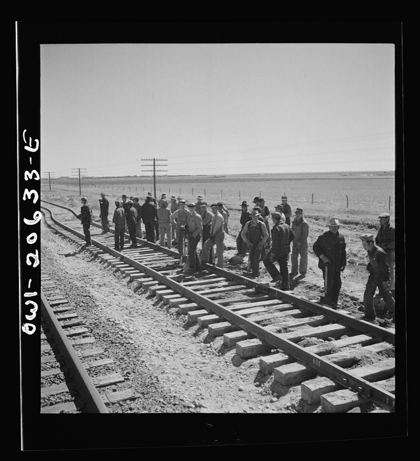

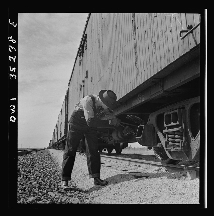
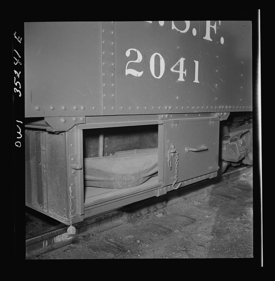
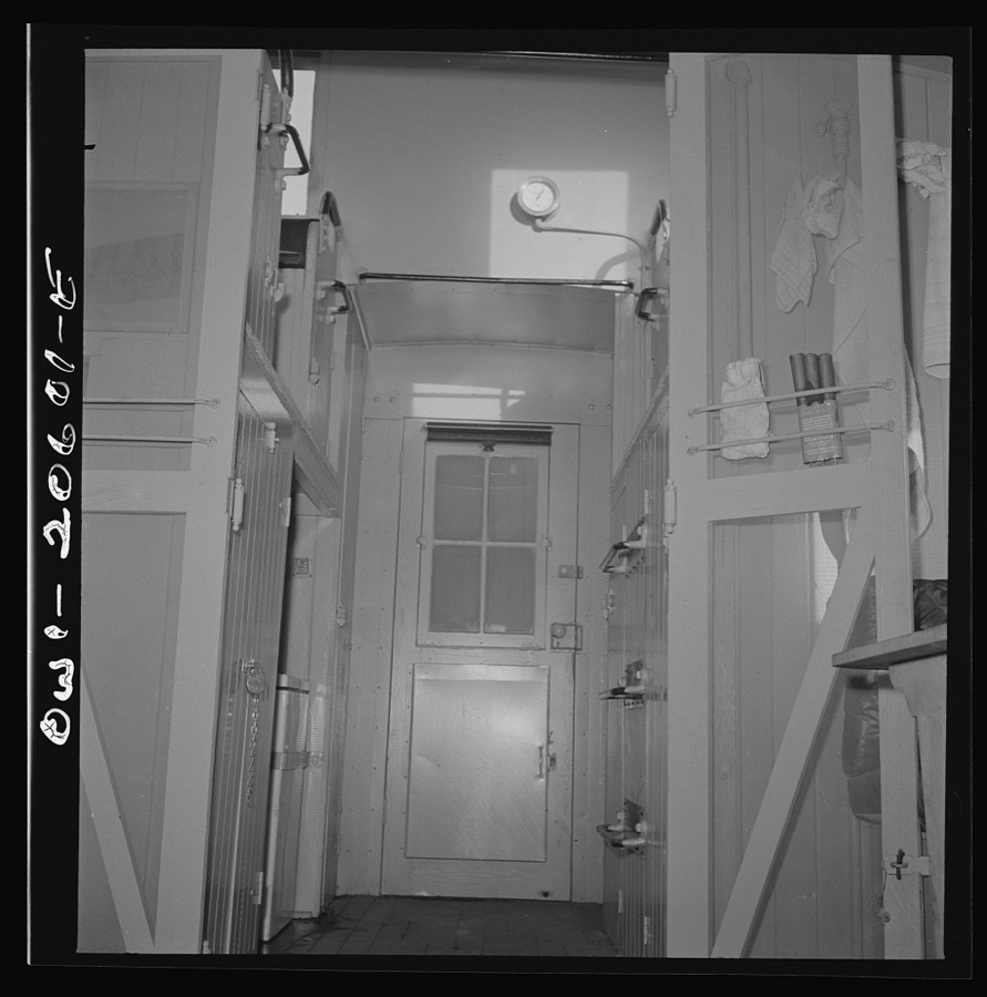
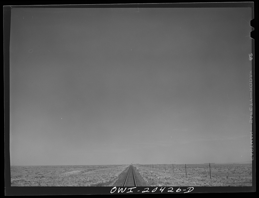
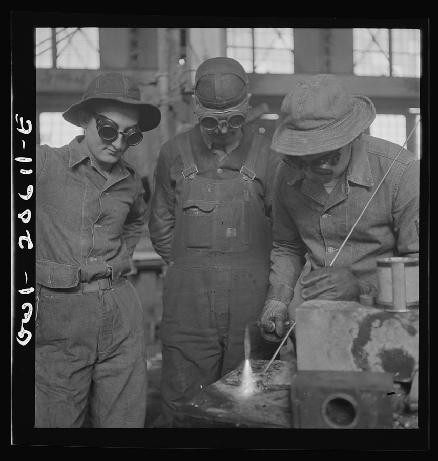
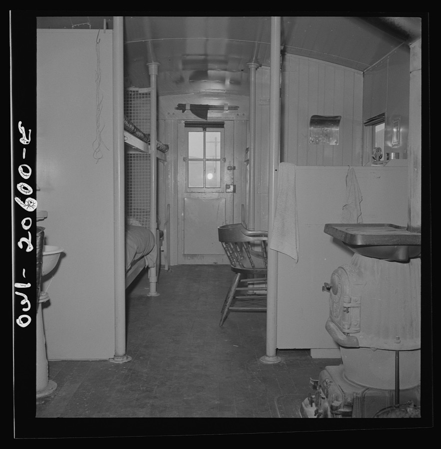

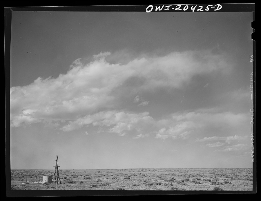
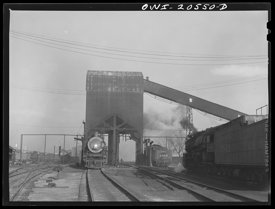

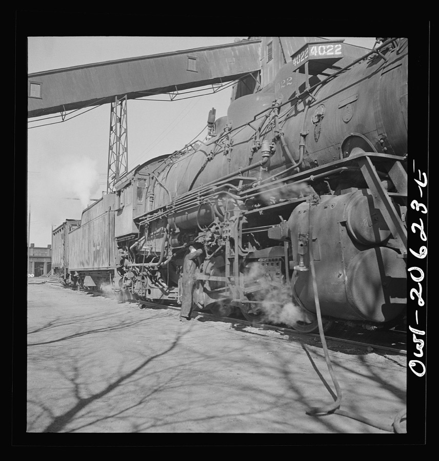
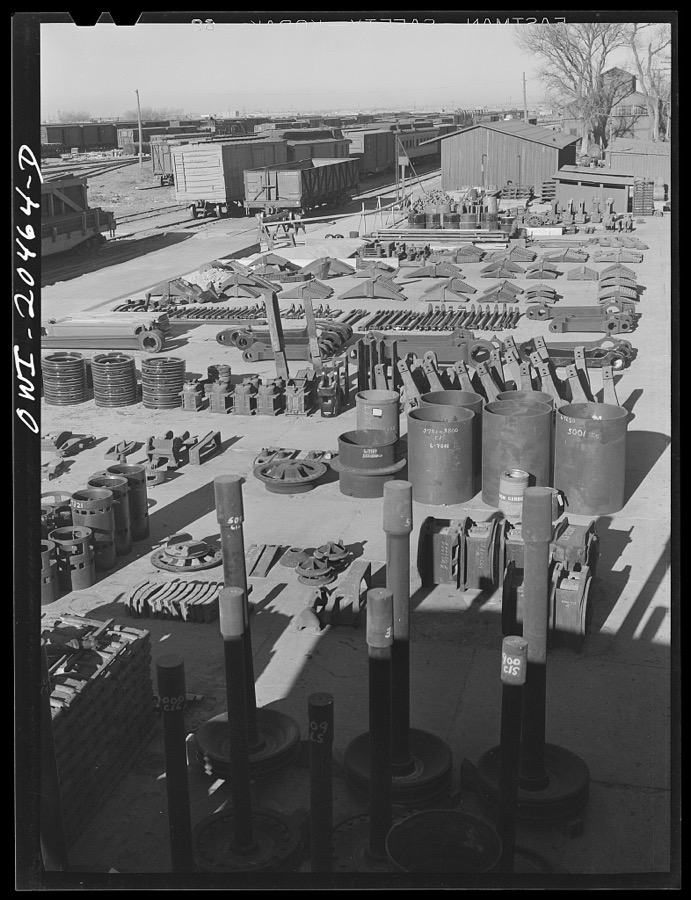
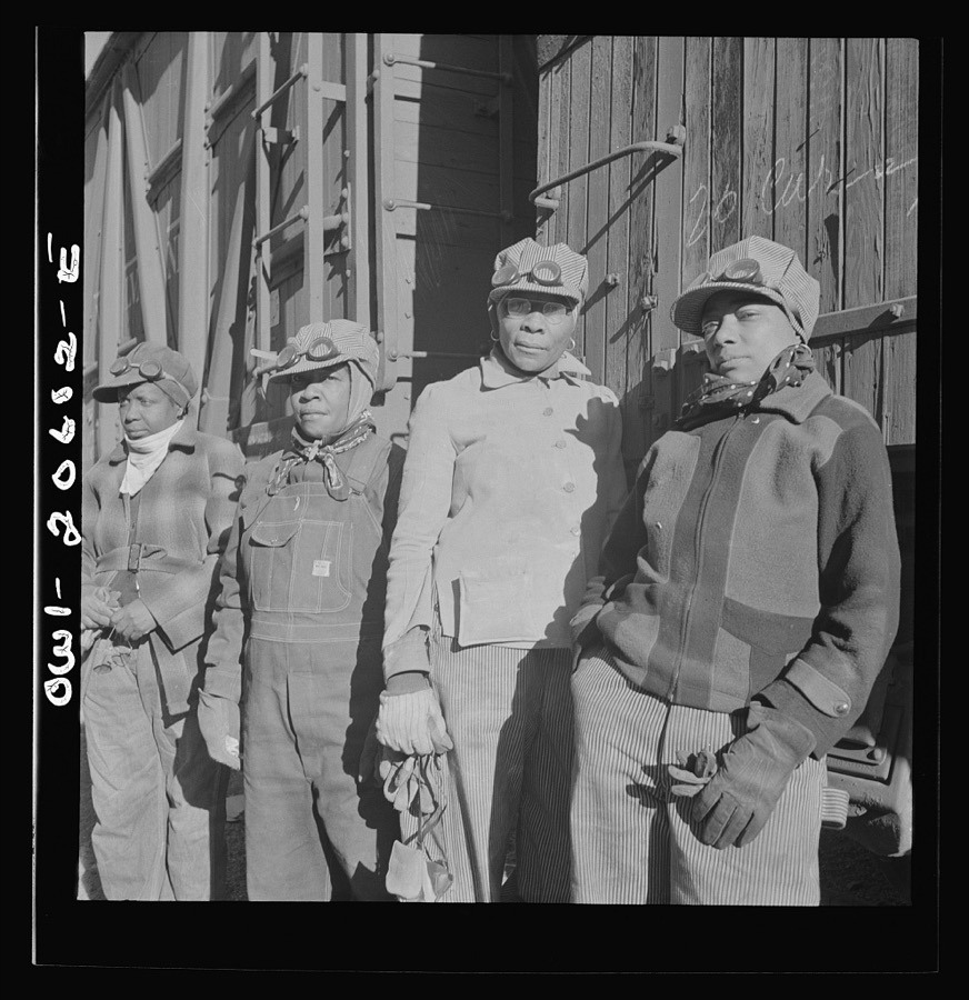

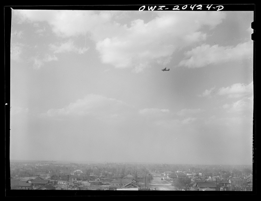
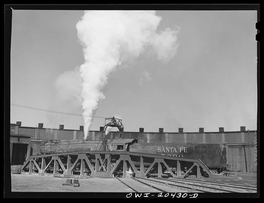
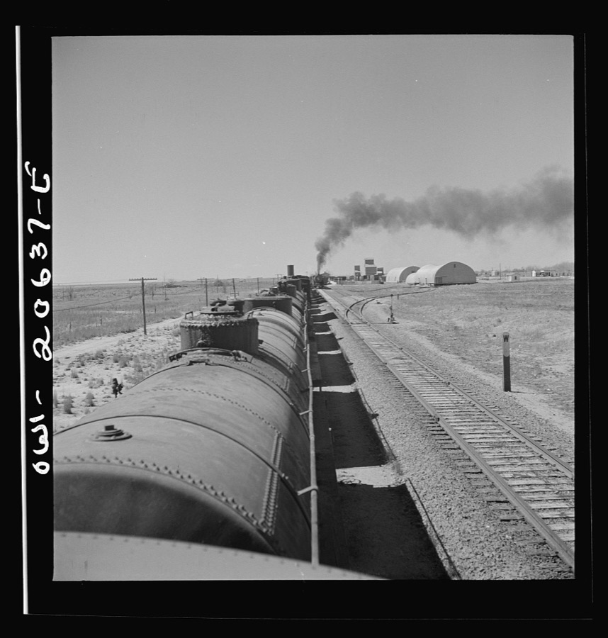

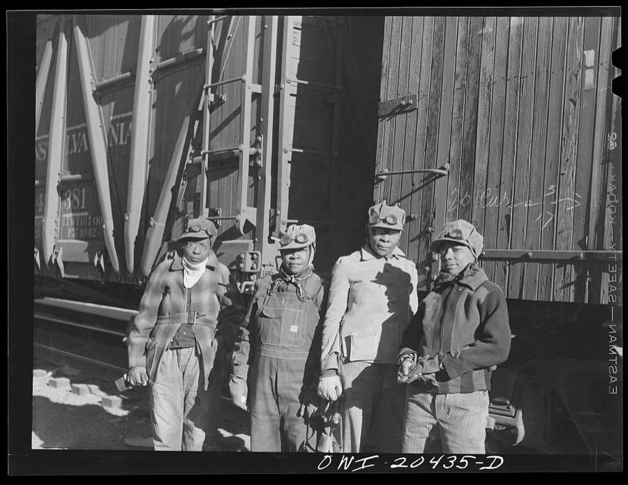
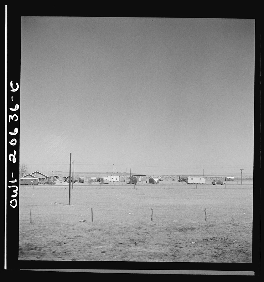
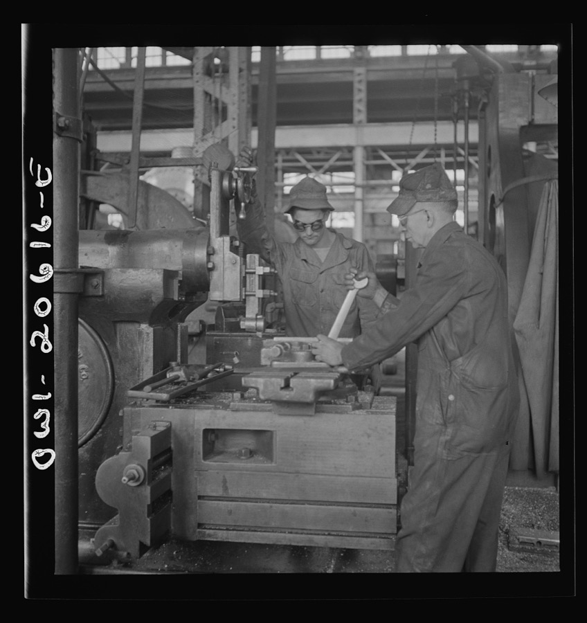
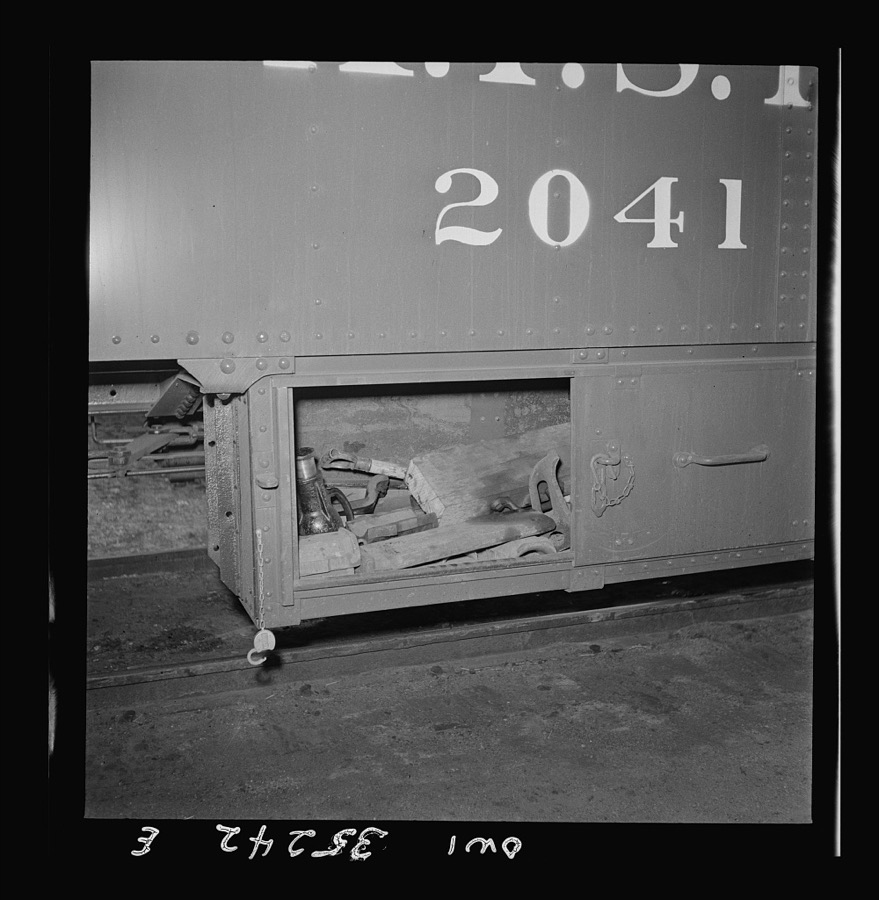

Every property in this county listed on the National Register of Historic Places, with the year it was listed and the federal nomination document.
| Photograph | Property | Type | Listed | Reference |
|---|---|---|---|---|
 | 1908 Clovis City Hall and Fire Station | building | 1987 | 87001110 |
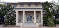 | Clovis Baptist Hospital | building | 1982 | 82003322 |
 | Clovis Central Fire Station | building | 1987 | 87001111 |
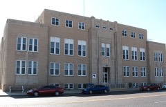 | Curry County Courthouse | building | 1987 | 87000881 |
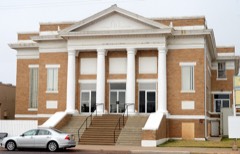 | First Methodist Church of Clovis | building | 1987 | 87001112 |
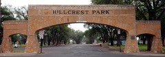 | Hillcrest Park Archway | structure | 2008 | 08000573 |
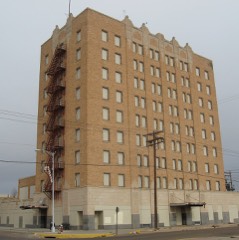 | Hotel Clovis | building | 1984 | 84000571 |
| Lincoln Jackson School | building | 2017 | 100001716 | |
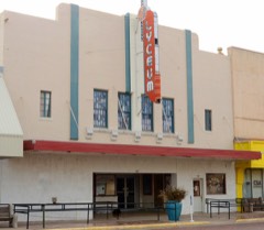 | Lyceum Theater | building | 2007 | 06001253 |
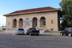 | Old Clovis Post Office | building | 1984 | 84000573 |
 | Santa Fe Passenger Depot-Clovis | building | 1995 | 95001451 |
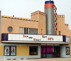 | State Theater | building | 2007 | 06001255 |
Sampled issues, machine-read from the Library of Congress scan and published page by page, so every headline and column is searchable text.
Clovis, N.M., 1907 to 1929. Machine-read from the Library of Congress scan.
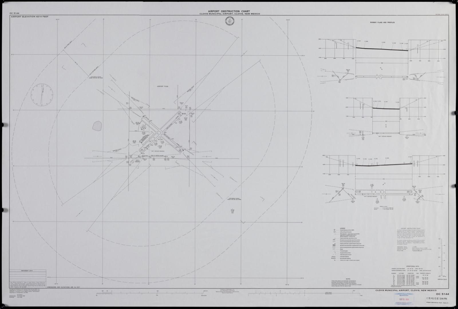
Selected from the Digital Public Library of America's 1 image records catalogued for this county. Every one shown here carries a public-domain status or a licence that permits reuse on a site that carries advertising; non-commercial, share-alike and restricted images are excluded. The selection is spread across the county's towns (at most eight per town), so no single institution's bulk upload crowds out the rest. Each opens the holding library's record, and the complete set at the Digital Public Library of America is one click away.
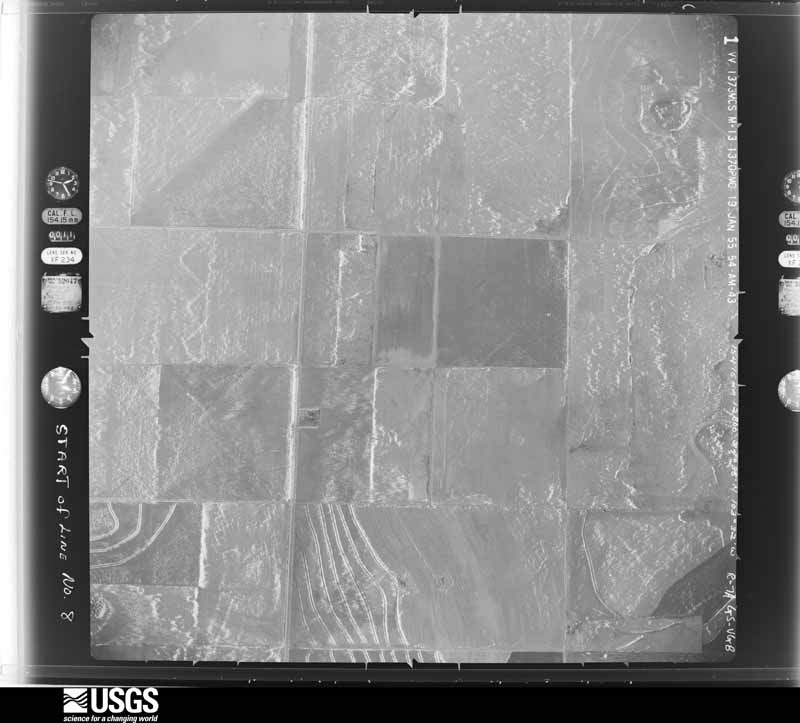
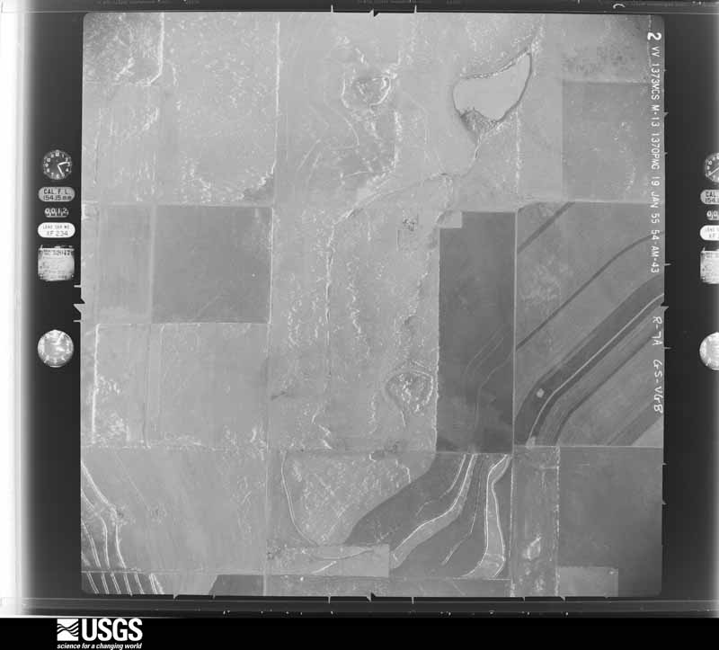
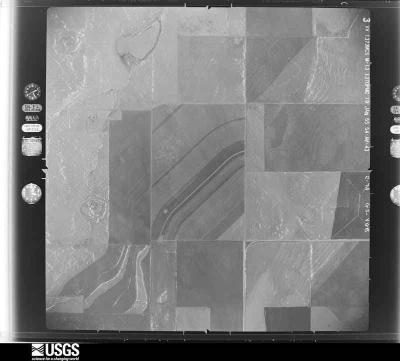
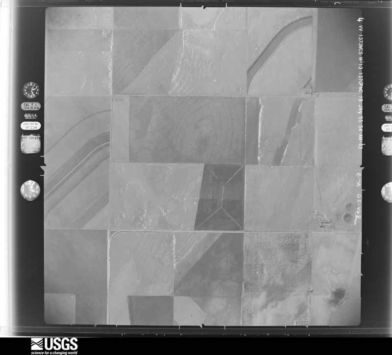
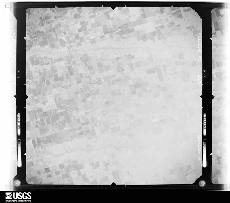
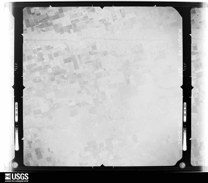
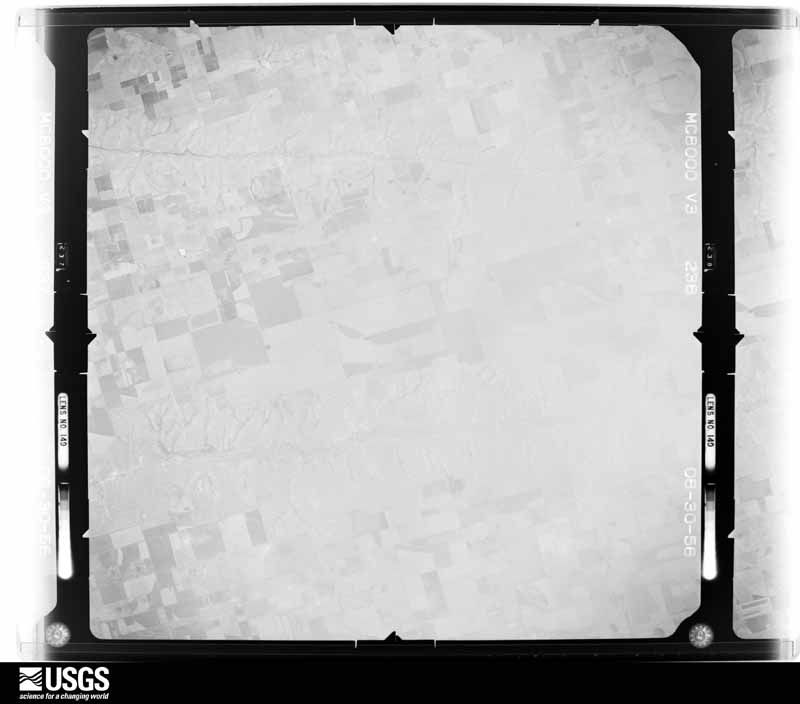
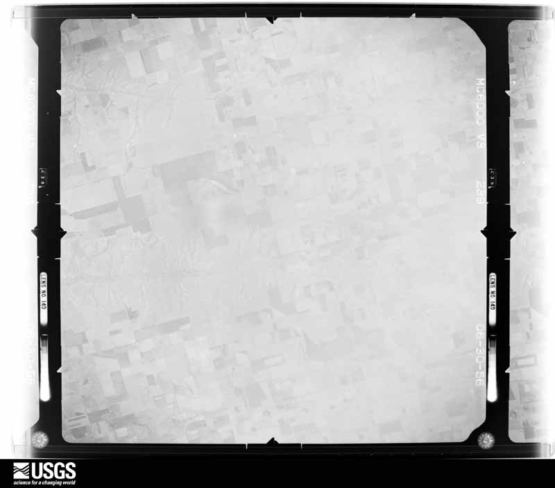
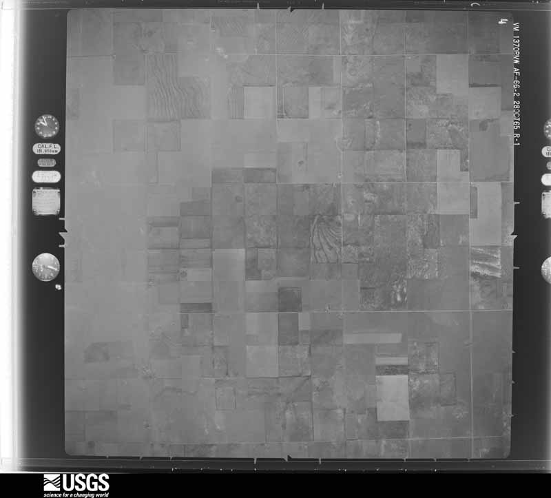
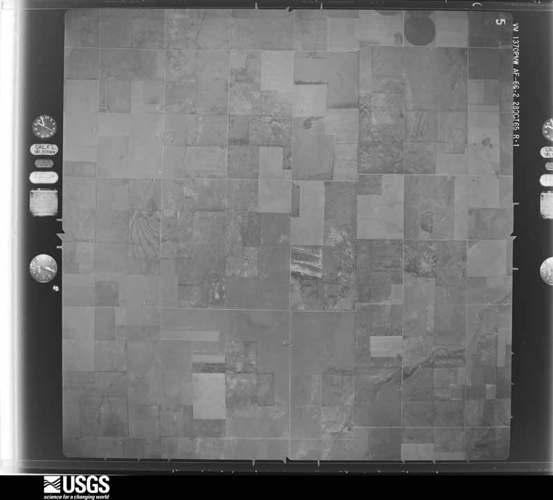
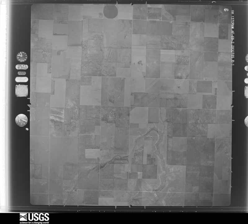
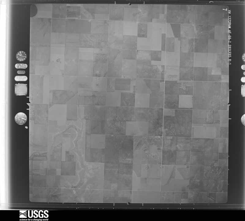
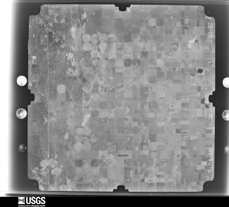
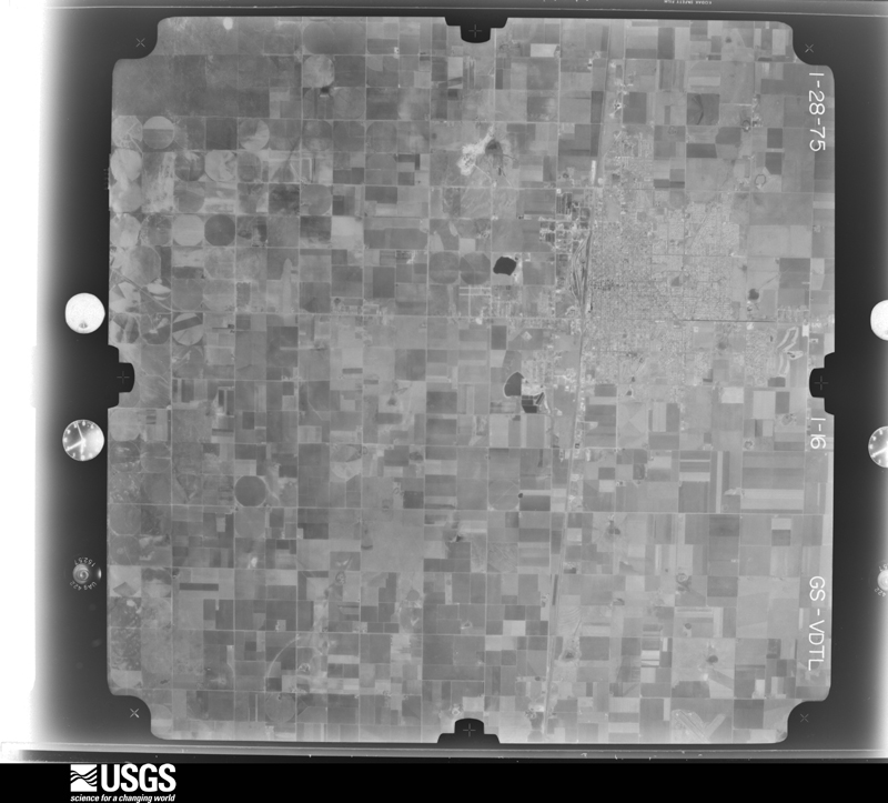
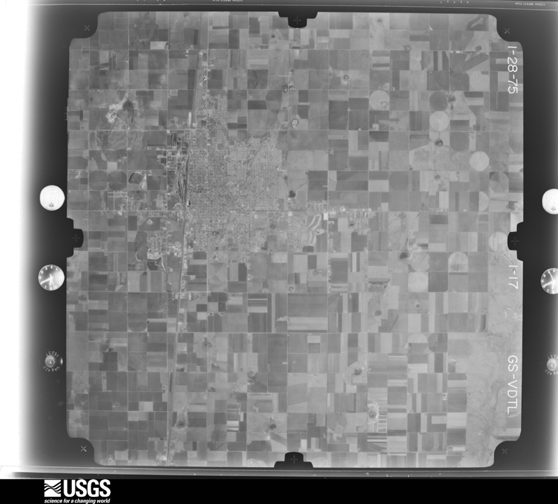
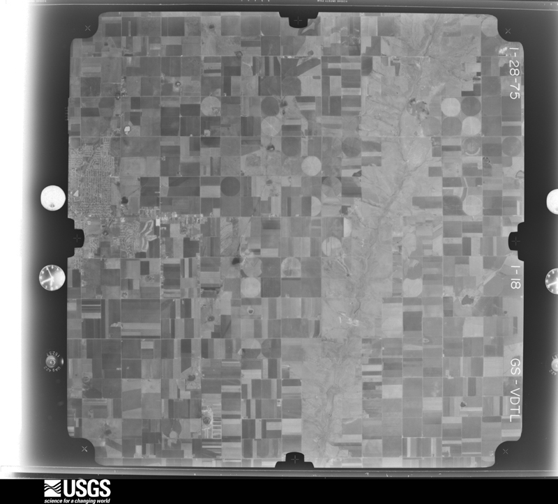
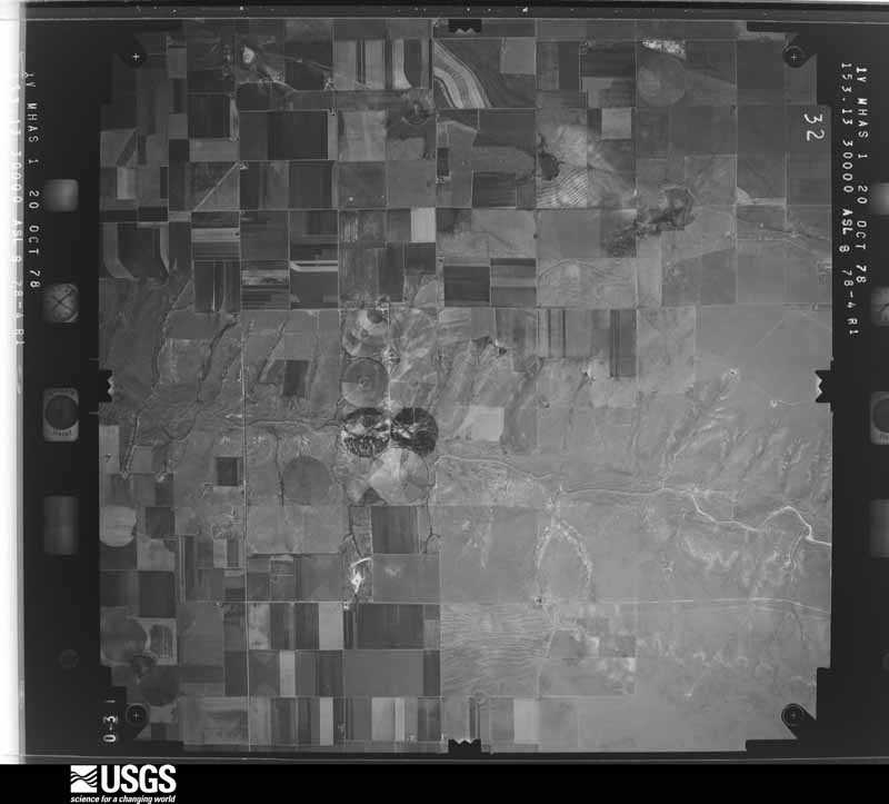
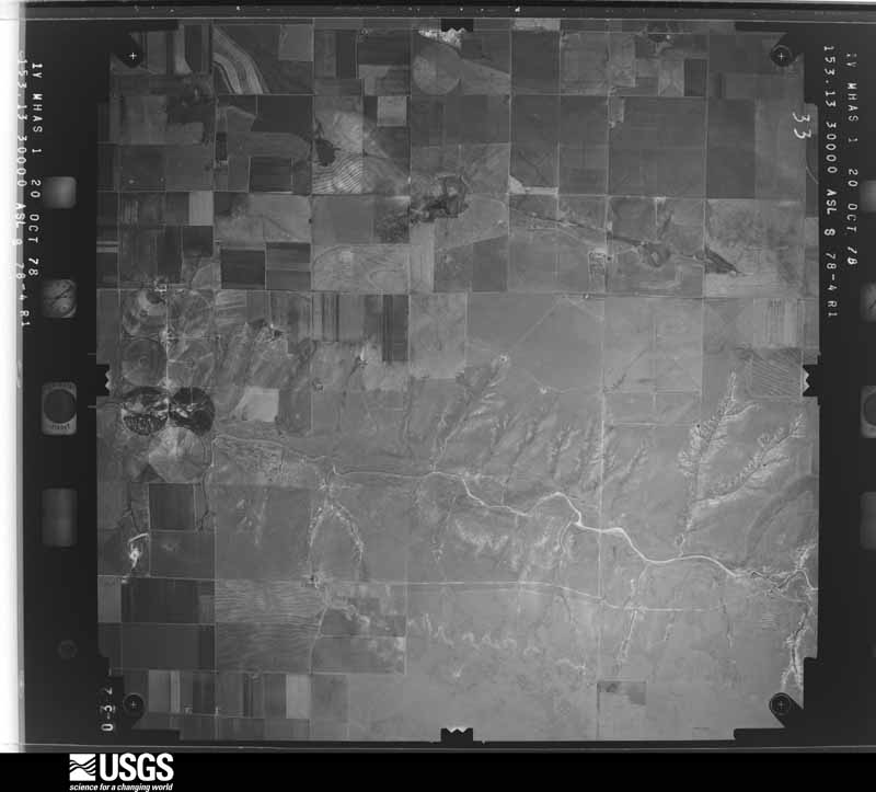
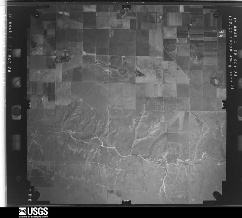
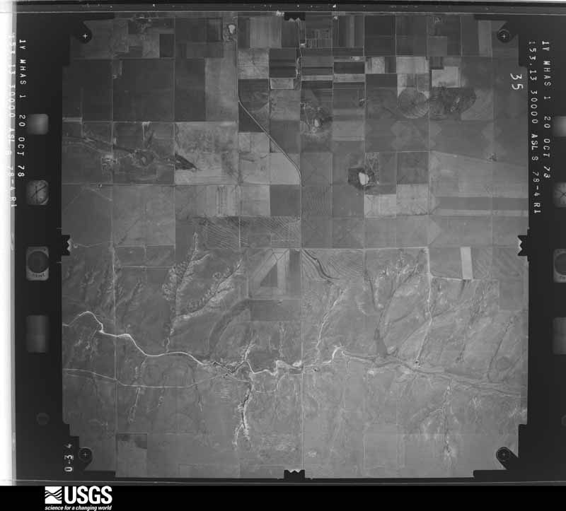
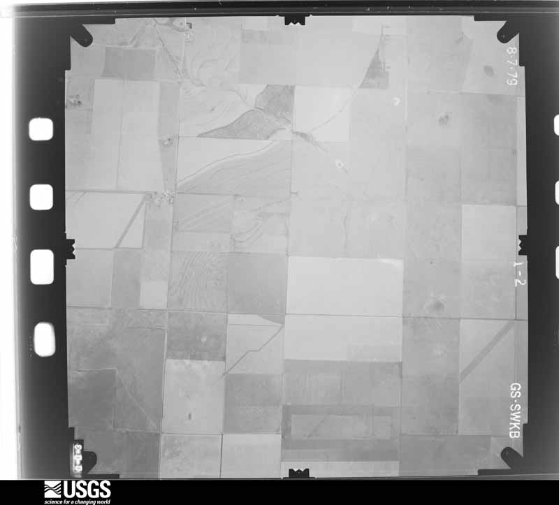
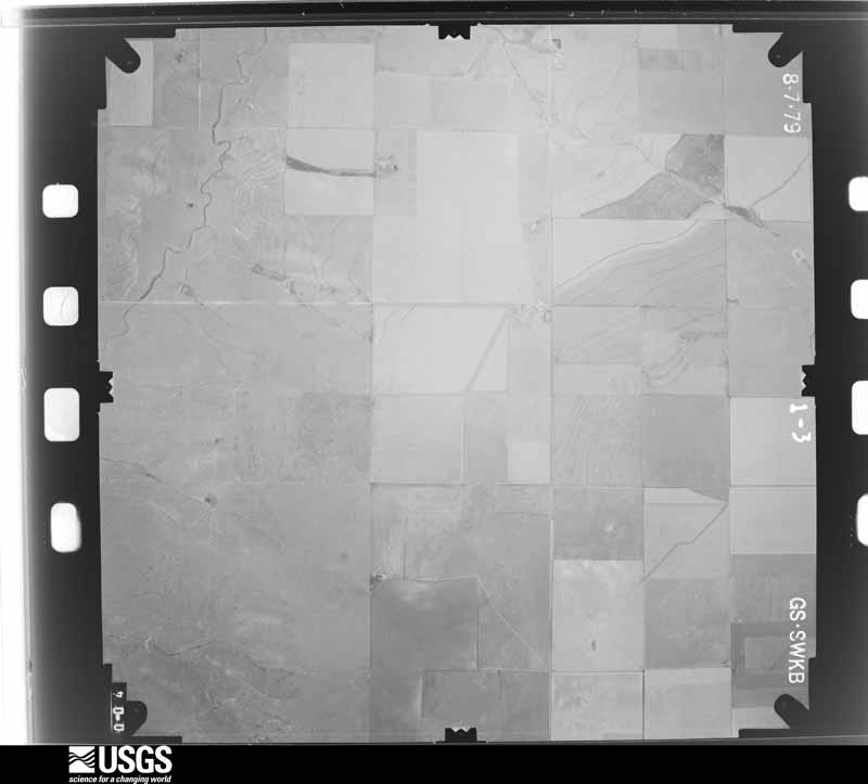
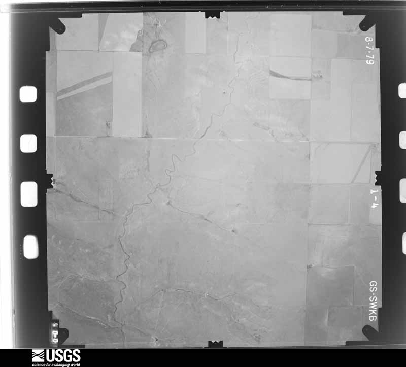
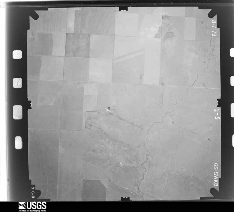
Flown by the U.S. Geological Survey between 1937 and 1989, the Aerial Photo Single Frames collection is the definitive mid-century view of the land: fields, roads and rivers as the camera saw them. The Survey holds 2,363 frames inside the rectangle that bounds this county; the 37 frames below were taken over the county itself, chosen across the decades of flights (at most four a year from that rectangle), so one flight cannot crowd out the rest. The full set is free to browse and download at EarthExplorer under the dataset Aerial Photo Single Frames.
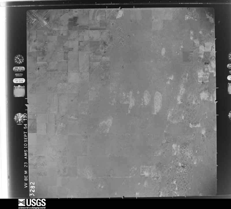
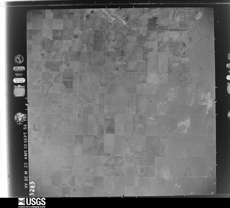
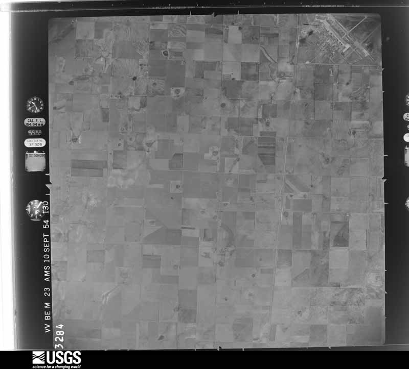
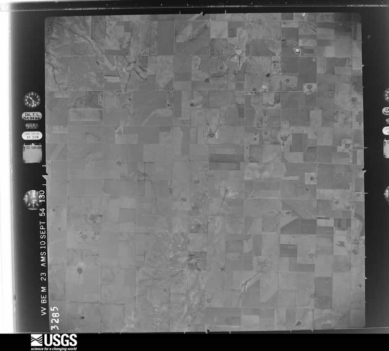
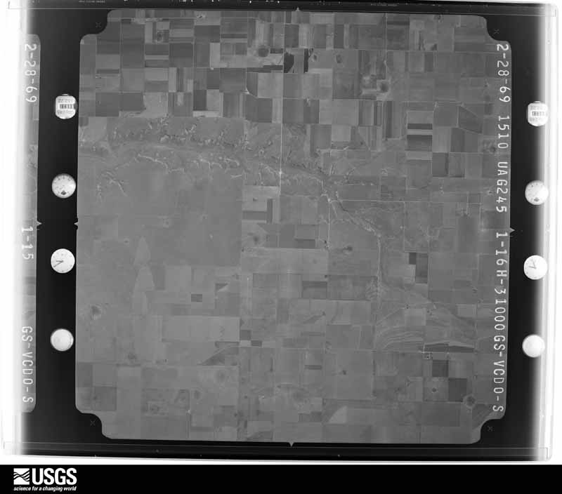
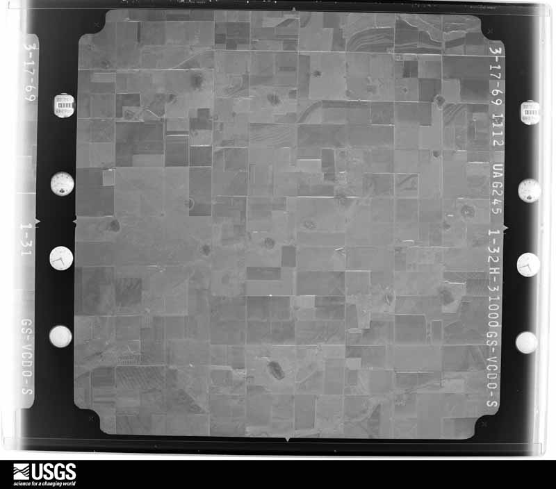
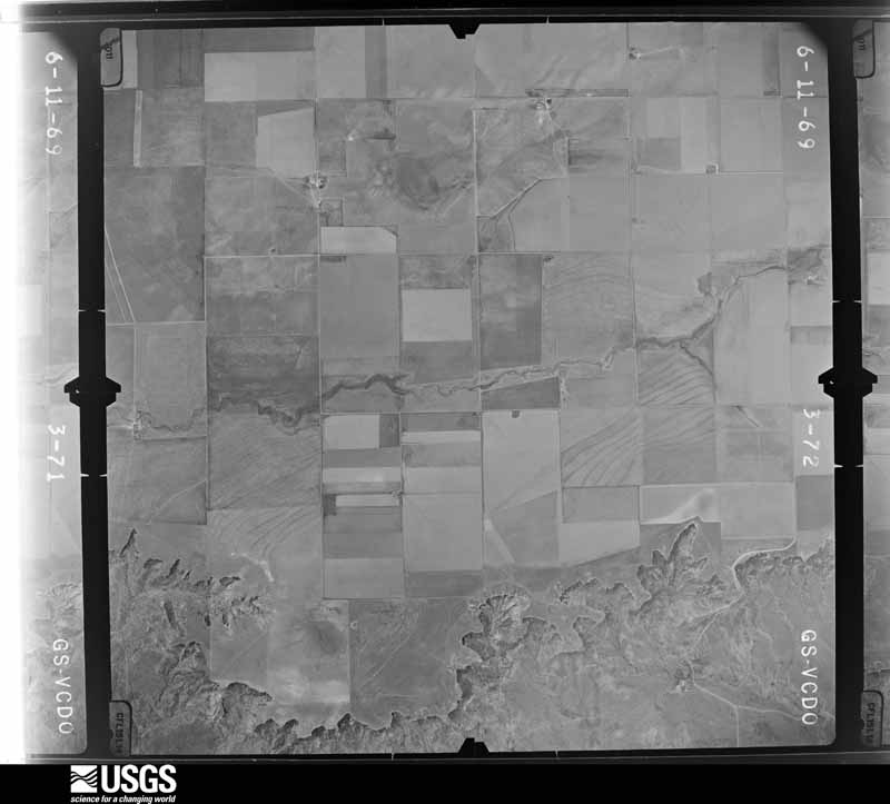
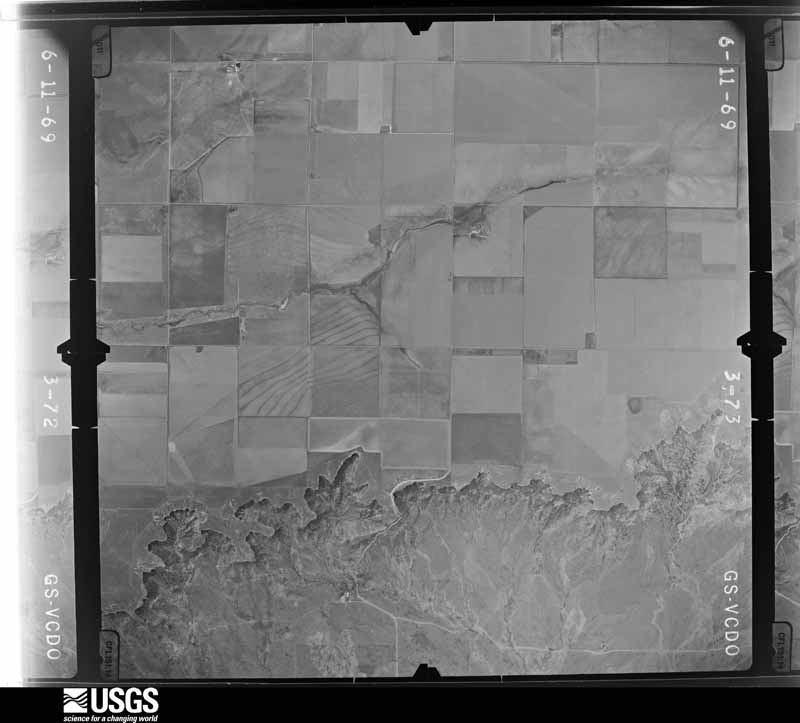
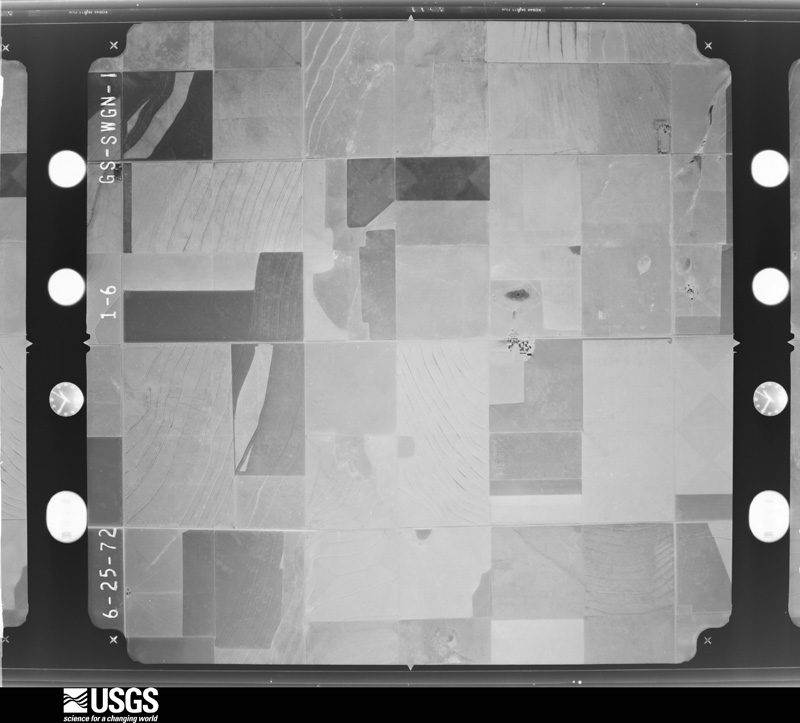
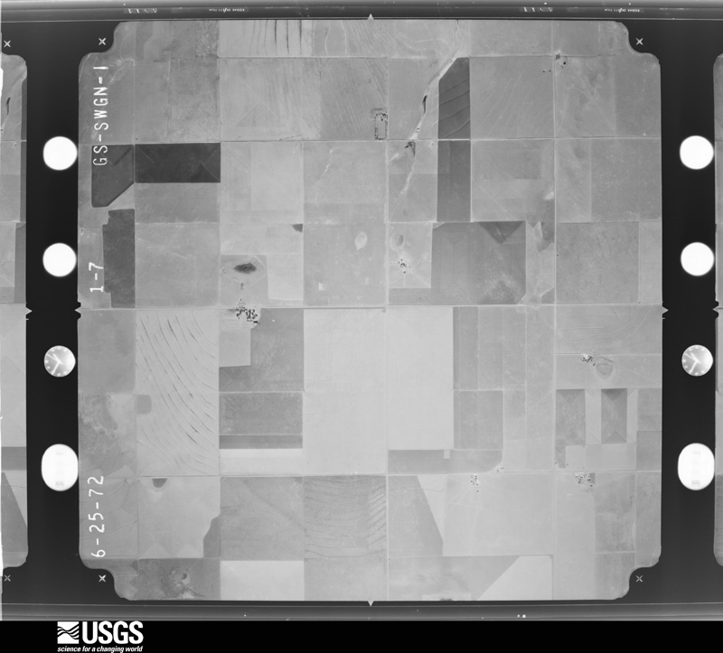
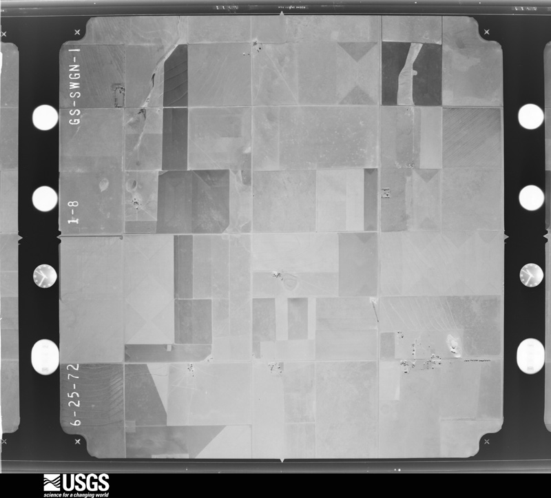
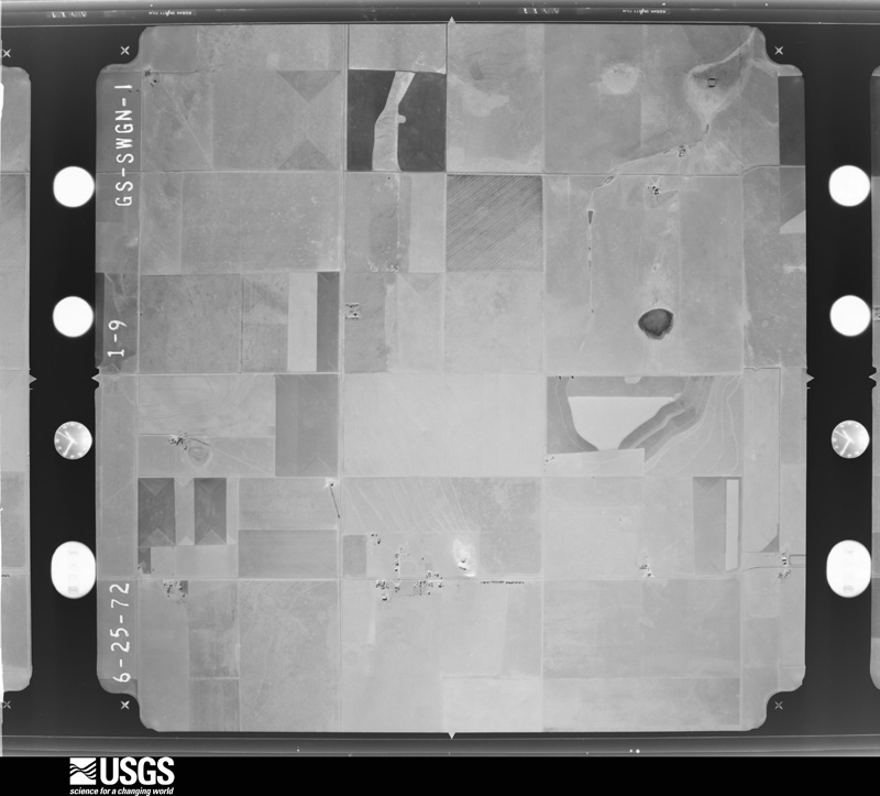

The thermometers that kept this county's weather, as the federal records hold them. The extremes below are measured values from those records, not estimates.
Who lived here in 1950, one enumeration district at a time, as the Census Bureau described each district. Each row opens its official National Archives result, with Population Schedules and ED Maps available there.
Every wildfire the federal occurrence database records inside this county: 331 of them, burning about 86,738 acres. 43 started naturally and none was recorded as arson. Each settlement page carries the fires within five miles of it.
| Reported cause | Fires |
|---|---|
| Missing data/not specified/undetermined | 225 |
| Natural | 43 |
| Equipment and vehicle use | 33 |
| Smoking | 14 |
| Debris and open burning | 10 |
| Power generation/transmission/distribution | 3 |
| Railroad operations and maintenance | 2 |
| Recreation and ceremony | 1 |
The five largest, by the area the report gives. None of them was recorded as arson.
| Date | Cause | Size | Reported by | Name on the report |
|---|---|---|---|---|
| 17 April 2011 | Debris and open burning | 24,000 acres | New Mexico State Forestry Division | TIRE |
| 15 February 2000 | Smoking | 7,000 acres | New Mexico State Forestry Division | CURRY RD 3 |
| 21 June 2017 | Natural | 5,120 acres | Las Vegas District | GRIFFITH |
| 21 April 2007 | Equipment and vehicle use | 3,000 acres | New Mexico State Forestry Division | HIGHWAY FIRE |
| 11 April 2010 | Natural | 3,000 acres | Las Vegas District | BOONE |
| 17 October 1993 | Missing data/not specified/undetermined | 2,560 acres | New Mexico State Forestry Division | GIBBS |
| 18 July 1998 | Missing data/not specified/undetermined | 2,500 acres | New Mexico State Forestry Division | HERNDON |
| 17 May 2011 | Smoking | 2,000 acres | New Mexico State Forestry Division | FIELDS |
Every settlement page carries the fires within five miles of it - see the settlement index below.
The NOAA Storm Events Database holds 657 reports for this county, causing 2 deaths, 41 injuries and about $28,216,030 in recorded property damage. Each settlement page carries the reports that name it.
| Kind of event | Reports |
|---|---|
| Hail | 342 |
| Thunderstorm Wind | 196 |
| Tornado | 55 |
| Flash Flood | 30 |
| Funnel Cloud | 16 |
| Heavy Rain | 9 |
| Lightning | 5 |
| Flood | 3 |
| Dust Devil | 1 |
The most serious of them, by death, then injury, then recorded damage. The accounts are quoted exactly as the forecast office filed them.
| When | Event | Place named | Harm | What the report says |
|---|---|---|---|---|
| March 2007 | Tornado (EF2) | Clovis Hillcrest Arp | 2 killed, 33 hurt, $16,500,000 | A tornado that developed in Roosevelt County continued north northwest into Curry County for about 3.5 miles then tracked north northeast an additional 4.6 miles into southern and east central sections of Clovis. Intensity of the tornado appeared to wane from EF2 120 mph in Roosevelt County to EF1 100 mph as it moved north into Curry County along Highway 70 where damage was limited to power lines and farm irrigation equipment. Intensity increased again to EF2 level 125 mph for a segment extending from about 4 miles south of Clovis northward into southeast Clovis which sustained the heaviest and most consistent damage as indicated by structural damage and downed power poles. The tornado appeared to wane again as it move north over Highway 60/84 just east of the intersection with Highway 70. The tornado track became intermittent north of Highway 60/84 with winds likely less than 85 mph before a final one half mile track of heavier damage and EF2 level winds of 120-125 mph. Average width was estimated at 200 yards. About 500 homes and other facilities sustained at least some damage ranging from complete destruction of mobile homes in southeast Clovis and wall collapse at several businesses along Highway 60/84 to the loss of roof shingles and roof top air conditioning units. Thirty five people suffered treatment injuries including five that required hospitalization. Two elderly citizens died later from injuries sustained during the event making these the first tornado fatalities in New Mexico since October of 1974. |
| June 1992 | Hail | not stated | 6 hurt | no account filed |
| July 2015 | Thunderstorm Wind | Clovis | 1 hurt, $250,000 | Wet microburst winds toppled a metal grain silo onto a nearby truck, resulting in 1 injury. Two other silos were also severely damaged. Numerous tree branches were broken at a nearby home. A spotter reported storm total rainfall of 3.25 inches from these storms. |
| June 1964 | Tornado (F1) | not stated | 1 hurt, $250 | no account filed |
| May 2015 | Flash Flood | Ranchvale | $3,000,000 | According to local media reports, 65 homes in the Cannon Air Force Base area were impacted by the flooding, including roof damage, weather stripping, carpet, flooring, and sheetrock. Local officials evacuated 33 families from those homes and put them in hotel lodging. The flooding in Clovis forced the closure of U.S. Highway 60/84. Approximately 40 feet of state highway 108 between mile markers 6 and 10 was washed out. Clovis police had to use an armored vehicle to rescue 7 victims stranded by or caught in fast moving waters or flooded streets. |
| May 1995 | Thunderstorm Wind | not stated | $1,500,000 | Late evening thunderstorms developed in east-central New Mexico and produced an estimated $2 million damage across the city. Most of the damage was consistent with microburst type winds and hail. There could have been a small embedded tornado, but this could not be confirmed. Mobile homes were blown over, power poles snapped, roofs, autos (including a couple of new car dealerships), and numerous businesses received significant wind and hail damage. |
| June 2010 | Hail | Clovis | $1,250,000 | The hailstorm left much of the Clovis area battered by hail up to the size of golf balls. The majority of the damage occurred in the northeastern portion of the community. Over 1600 home and auto claims were submitted to insurance companies. |
| May 2023 | Thunderstorm Wind | (Cvs)Cannon Afb | $1,000,000 | There was significant damage to a dairy farm including roof and door damage with power lines and poles down. A transformer was also bent over on County Road 5 with multiple tree limbs down. |
| May 2023 | Flash Flood | (Cvs)Cannon Afb | $500,000 | Heavy rains caused flash flooding in Clovis, Texico, and Cannon Air Force Base. There were multiple reports of roads becoming closed and impassable with vehicles being stranded. |
| May 1995 | Hail | Clovis | $500,000 | Late evening thunderstorms developed in east-central New Mexico and produced an estimated $2 million damage across the city. Most of the damage was consistent with microburst type winds and hail. There could have been a small embedded tornado, but this could not be confirmed. Mobile homes were blown over, power poles snapped, roofs, autos (including a couple of new car dealerships), and numerous businesses received significant wind and hail damage. |
| December 2019 | Tornado (EF1) | Ranchvale | $300,000 | Three large power transmission poles were snapped and toppled to the ground, no less than three center pivot irrigation sections were flipped over or destroyed, several sections of range land fencing were damaged, and dozens of small yucca plants were uprooted. The tornado missed a nearby residence by only 300 yards and barely missed the nearby Palla West Dairy. Damage amounts are estimated for utility and property losses. |
| June 2002 | Thunderstorm Wind | Melrose | $300,000 | no account filed |
| May 2023 | Thunderstorm Wind | Clovis | $250,000 | Several reports of thunderstorm wind damage were collected in Clovis. The emergency manager reported roof damage to townhomes. There were other reports of down tree limbs, and a wall collapse on the Red Arrow Entertainment building. |
| July 2014 | Flash Flood | Clovis | $250,000 | The City of Clovis has 3 detention ponds that are located in the upper portions of 3 small north-south oriented watersheds on the north side of the city. During Wednesday's event, the heaviest rain was anchored over and just upstream of the 3 ponds and, as a result, they quickly filled and began to spill. A lifetime resident of Clovis said it was the first time in at least 10 years that all three ponds filled, and it was the first time in recent memory that the Dennis Chavez pond spilled. The police and fire departments received about 120 calls in one hour between 6:45am and 7:45 of stalled vehicles and at least 3 vehicles that were completely submerged. Police responded to 8 water rescues from vehicles. One vehicle along 14th street was submerged in 8 feet of water. Fortunately, no injuries or major damage. The owner of Enchanted Spirits Studios noted that up to 1 inch of water entered the business causing some carpet damage. Fire Station #6 and one house near Dennis Chavez park (pond) were the only structures that had damage from high water and the damage estimate there was $250,000. Flooding was also reported around Green Acres Park. Water receded very slowly through the day well after rainfall had ended. |
| June 1992 | Tornado (F1) | not stated | $250,000 | no account filed |
| May 1957 | Tornado (F2) | not stated | $250,000 | no account filed |
| October 1998 | Hail | Clovis | $200,000 | no account filed |
| May 2021 | Thunderstorm Wind | Grady | $100,000 | A microburst with estimated 70 to 90 mph winds from a severe thunderstorm caused significant damage in and around Grady as well as in far southern Quay County. North-northwest of Grady, a National Weather Service damage survey team found 17 downed electrical transmission line poles due to the microburst. A couple of the poles were snapped at the base while some were snapped halfway up the pole. Damages are estimated for the destruction of the transmission pole lines. |
| October 2019 | Flash Flood | Texico | $100,000 | An amateur radio operator two miles west-northwest of Clovis reported 4.50 of rainfall in 24 hours. Significant flooding impacted low lying areas around Clovis. Dennis Chavez Park overflowed into nearby streets resulting in several stranded motorists. Local emergency services rescued several people from their vehicles. State Road 77 was also closed due to flooding near Pleasant Hill. Damage amounts are estimated for flood damage to one half dozen vehicles. |
| May 2017 | Hail | Ranchvale | $100,000 | The NMSU Agricultural Science Center northeast of Clovis reported major damage from a severe hail storm. Hail estimated at least to the size of hen eggs produced a major crop loss at the facility. Damage amounts are estimated. |
| August 2015 | Lightning | Clovis | $100,000 | Fire crews responded to lightning caused blaze at a duplex home that resulted in significant damage to the property. |
| June 2014 | Thunderstorm Wind | Clovis | $100,000 | The supercell thunderstorm that produced the tornado near Ranchvale lifted but a powerful rear flank downdraft resulted in damaging straight line winds across Clovis. A tree was blown onto a residence at 121 East Tierra Blanca Road causing a house fire. The roof was blown off Ellison's Barber shop on the northwest corner of 21st and Thorton. |
| June 2014 | Hail | Ranchvale | $100,000 | Tweet from STORMTRACK7, and received picture of hail with measurement. The Agricultural Science Center for NMSU at Clovis suffered catastrophic damage to crops, vehicles, and the facility. Windows were also broken out of a nearby home. |
| June 2012 | Hail | Melrose | $100,000 | Softball size hail reported in Melrose. |
| June 1995 | Hail | Clovis | $100,000 | Golf ball-size hail reported by Clovis Emergency Operations Center did about $100,000 damage to vehicles in Clovis. |
| June 1995 | Hail | Clovis | $100,000 | Golf ball-size hail reported by Clovis Emergency Operations Center did about $100 thousand damage to vehicles in Clovis. |
| October 1998 | Hail | Melrose | $100,000 | no account filed |
| August 1996 | Thunderstorm Wind | Cannon Afb | $100,000 | no account filed |
| August 2018 | Flash Flood | Clovis | $60,000 | Significant street flooding in Clovis forced water into a few homes on the north side of Clovis. Damage amounts a rough estimate for minor flood damage to three homes. |
| May 2023 | Flash Flood | Clovis | $50,000 | Roadways are impassable due to flood waters along County Road L in Clovis. |
| June 2019 | Thunderstorm Wind | Melrose | $50,000 | Thunderstorm wind gusts tore off a large section of roofing from a barn in Melrose. A nearby Melrose RAWS site recorded a peak wind gust of 61 mph. Damage amounts are a rough estimate. |
| June 2011 | Thunderstorm Wind | (Cvs)Cannon Afb | $50,000 | A heat burst struck Cannon Air Force Base as formerly severe thunderstorms decayed over the area. Winds peaked at 90 mph, but winds greater than 58 mph persisted for over 30 minutes causing widespread damage. These strong winds damaged roofs and broke limbs off trees. KCVS ASOS jumped from 71 to 78 degrees and the dewpoint dropped from 50 to 44 degrees. The nearby AWOS, KCVN, jumped from 73 to 81 degrees and the dewpoint dropped from 46 to 41 degrees. KCVN, however, only gusted to 43 mph. |
| June 2002 | Lightning | Clovis | $40,000 | A strong thunderstorm over Clovis yielded 1 to 2 inches of rain over some sections of the city, but it also produced at least 5 lightning fires that destroyed several barns and storage buildings and caused a 400 acre grassfire. |
| October 1998 | Flash Flood | Clovis | $40,000 | no account filed |
| June 2000 | Lightning | Clovis | $30,000 | A lightning storm caused widespread power outages and damage to several homes. |
| July 1999 | Lightning | Clovis | $30,000 | Lightning caused fires damaged at least two homes in Clovis. |
| May 2021 | Thunderstorm Wind | Grady | $25,000 | A microburst with estimated 70 to 90 mph winds from a severe thunderstorm caused significant damage in and around Grady as well as in far southern Quay County. In Grady, a National Weather Service damage survey team estimated 70 mph winds associated with the microburst caused roof damage with metal roofs pealed back from their structures. The microburst also removed a porch cover that was attached to a house. Additionally, large trees were unrooted, and large tree limbs were downed. Damages are estimated for the roof damage as well as the tree damage. |
| May 2021 | Thunderstorm Wind | Clovis | $25,000 | Estimated 60 to 70 mph winds from a severe thunderstorm moving eastward through Clovis downed power lines southeast of the area. Torrential rainfall also resulted in minor street flooding which caused traffic to be diverted for a short time period during the evening. Damages are estimated for the downed power lines. |
| June 2014 | Thunderstorm Wind | Pleasant Hill | $25,000 | Roof blown off a house near Highway 208 and CR21. |
| April 1992 | Tornado (F1) | not stated | $25,000 | no account filed |
| July 1983 | Tornado (F0) | not stated | $25,000 | no account filed |
| April 1979 | Tornado | not stated | $25,000 | no account filed |
| June 1971 | Tornado (F1) | not stated | $25,000 | no account filed |
| June 1964 | Tornado (F2) | not stated | $25,000 | no account filed |
| June 1964 | Tornado (F1) | not stated | $25,000 | no account filed |
| June 2002 | Thunderstorm Wind | Clovis | $20,000 | Power lines and several poles were blown down in southwest Clovis. |
| October 2000 | Flash Flood | Clovis | $20,000 | no account filed |
| October 1998 | Hail | Ranchvale | $20,000 | no account filed |
| June 1998 | Hail | Clovis | $20,000 | no account filed |
| May 2023 | Hail | Clovis | $10,000 | Multiple reports of 1 to 2 inch hail were collected in Clovis by multiple sources ranging from the public, to storm chasers, to the emergency manager. There was a report of damage from wind driven golf ball size hail shattering the windows of a hotel two miles north of Clovis. |
| May 2023 | Thunderstorm Wind | Grady | $10,000 | A mesonet station measured a 92.4 mph thunderstorm wind gust. This gust caused damage blowing out the northside windows of a Baptist church. |
| May 2017 | Hail | Ranchvale | $10,000 | Damaging hail storm with at least hen egg size hail. Two windows broken at residence and two windshields smashed out. Damage amounts are estimated. |
| August 2009 | Hail | Clovis | $10,000 | Hail between 0.88 inches and 1.75 inches was reported between 415pm and 430pm MST in Clovis. Some roof damage was reported, with leaves stripped off trees and damage to corn and tomato crops. |
| August 2009 | Flash Flood | Clovis | $10,000 | Water was flowing rapidly down Corrales Road, as well as on Martin Luther King Blvd, between 7th and 21st Streets. The water level was at or above curb height. Significant debris covered several streets, especially on 21st Street. Curb high water was also flowing rapidly down 21st Street approaching Green Acres Park. |
| June 1997 | Thunderstorm Wind | Clovis Arpt | $10,000 | A small and generally dry thunderstorm produced a microburst which downed 5 power poles in western Clovis and damaged trees at the Municipal Golf Course. |
| May 2023 | Hail | Broadview | $10,000 | no account filed |
| June 1998 | Thunderstorm Wind | Cannon Afb | $10,000 | no account filed |
| July 1997 | Thunderstorm Wind | Clovis | $10,000 | no account filed |
| October 2015 | Hail | Melrose | $8,000 | Pea to golf ball size hail. Through secondhand information, observer reported a few broken windows around town. |
| July 2013 | Hail | Clovis | $6,000 | An amateur radio operator reported quarter sized hail as well as downed power lines. |
The Survey's mineral resources record lists 60 workings inside this county. 2 still produce and 58 are closed or unrecorded. Each settlement page carries the workings within five miles of it.
| Commodity | Workings |
|---|---|
| Sand and Gravel, Construction | 58 |
| Limestone, General | 2 |
The least common of them first, because a county's hundredth gravel pit says nothing its first ten did not.
| Where | Site | Commodity | Status | Recorded |
|---|---|---|---|---|
| Grier Pit | Limestone, General | Producer | Caliche | |
| South Pit | Limestone, General | Producer | Caliche | |
| Materials Pit | Sand and Gravel, Construction | Unknown | ||
| Materials Pit | Sand and Gravel, Construction | Unknown | ||
| Materials Pit | Sand and Gravel, Construction | Unknown | ||
| Materials Pit | Sand and Gravel, Construction | Unknown | ||
| Materials Pit | Sand and Gravel, Construction | Unknown | ||
| Materials Pit | Sand and Gravel, Construction | Unknown | ||
| Materials Pit | Sand and Gravel, Construction | Unknown | ||
| Materials Pit | Sand and Gravel, Construction | Unknown | ||
| Materials Pit | Sand and Gravel, Construction | Unknown | ||
| Materials Pit | Sand and Gravel, Construction | Unknown | ||
| Materials Pit | Sand and Gravel, Construction | Unknown | ||
| Materials Pit | Sand and Gravel, Construction | Unknown | ||
| Materials Pit | Sand and Gravel, Construction | Unknown | ||
| Materials Pit | Sand and Gravel, Construction | Unknown | ||
| Materials Pit | Sand and Gravel, Construction | Unknown | ||
| Materials Pit | Sand and Gravel, Construction | Unknown | ||
| Materials Pit | Sand and Gravel, Construction | Unknown | ||
| Materials Pit | Sand and Gravel, Construction | Unknown | ||
| Materials Pit | Sand and Gravel, Construction | Unknown | ||
| Materials Pit | Sand and Gravel, Construction | Unknown | ||
| Materials Pit | Sand and Gravel, Construction | Unknown | ||
| Materials Pit | Sand and Gravel, Construction | Unknown | ||
| Materials Pit | Sand and Gravel, Construction | Unknown | ||
| Materials Pit | Sand and Gravel, Construction | Unknown | ||
| Materials Pit | Sand and Gravel, Construction | Unknown | ||
| Materials Pit | Sand and Gravel, Construction | Unknown | ||
| Materials Pit | Sand and Gravel, Construction | Unknown | ||
| Materials Pit | Sand and Gravel, Construction | Unknown | ||
| Materials Pit | Sand and Gravel, Construction | Unknown | ||
| Materials Pit | Sand and Gravel, Construction | Unknown | ||
| Materials Pit | Sand and Gravel, Construction | Unknown | ||
| Materials Pit | Sand and Gravel, Construction | Unknown | ||
| Materials Pit | Sand and Gravel, Construction | Unknown | ||
| Materials Pit | Sand and Gravel, Construction | Unknown | ||
| Materials Pit | Sand and Gravel, Construction | Unknown | ||
| Materials Pit 56-28-S | Sand and Gravel, Construction | Unknown | ||
| Materials Pit 56-30-F | Sand and Gravel, Construction | Unknown | ||
| Materials Pit 57-16-S | Sand and Gravel, Construction | Unknown | ||
| Materials Pit 57-27-F | Sand and Gravel, Construction | Unknown | ||
| Materials Pit 58-4-S & 58-5-S | Sand and Gravel, Construction | Unknown | ||
| Materials Pit 58-6-F | Sand and Gravel, Construction | Unknown | ||
| Materials Pit 58-7-S | Sand and Gravel, Construction | Unknown | ||
| Materials Pit 58-8-F | Sand and Gravel, Construction | Unknown | ||
| Materials Pit 59-1-S | Sand and Gravel, Construction | Unknown | ||
| Materials Pit 59-49-S | Sand and Gravel, Construction | Unknown | ||
| Materials Pit 59-50-F | Sand and Gravel, Construction | Unknown | ||
| Materials Pit 61-12-S | Sand and Gravel, Construction | Unknown | ||
| Materials Pit 65-45-S | Sand and Gravel, Construction | Unknown | ||
| Materials Pit 65-48-S | Sand and Gravel, Construction | Unknown | ||
| Materials Pit 65-50-S | Sand and Gravel, Construction | Unknown | ||
| Materials Pit 65-52-S | Sand and Gravel, Construction | Unknown | ||
| Materials Pit 65-59-S | Sand and Gravel, Construction | Unknown | ||
| Materials Pit 65-60-S | Sand and Gravel, Construction | Unknown | ||
| Materials Pit 65-61-S | Sand and Gravel, Construction | Unknown | ||
| Materials Pit 67-34-S | Sand and Gravel, Construction | Unknown | ||
| Materials Pit 74-8-S | Sand and Gravel, Construction | Unknown | ||
| Processing Plant | Sand and Gravel, Construction | Unknown | ||
| Two Materials Pits | Sand and Gravel, Construction | Unknown |
Named settlements recorded in the Geographic Names Information System, each with the topographic sheets covering it. Villages, hamlets and abandoned places alike. Each is shown with the nearest named watercourse or landform and the survey quadrangle it falls on. The 2 places that were also surveyed for fire insurance come first, with the number of atlases and photographs held for them.
9 topographic sheets and 5 fire insurance atlases, 1909 to 1950
7 topographic sheets and 2 fire insurance atlases, 1930 to 1941